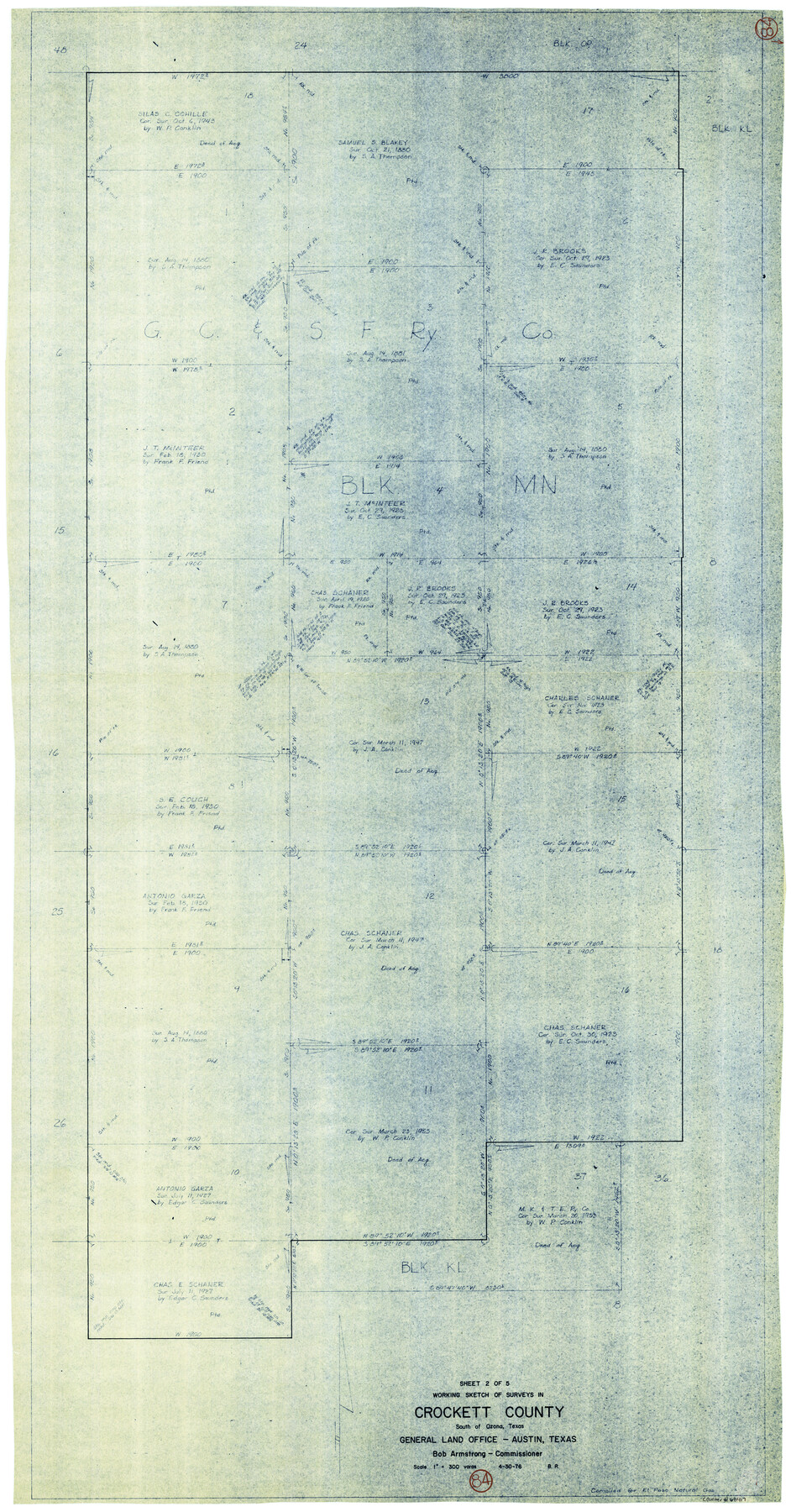
Crockett County Working Sketch 84
- 
                          Map/Doc
68417
 - 
                            Collection
General Map Collection
 - 
                            Object Dates
4/30/1976 (Creation Date)
 - 
                            People and Organizations
Beverly Robison (Draftsman)
 - 
                            Counties
Crockett
 - 
                            Subjects
Surveying Working Sketch
 - 
                            Height x Width
49.4 x 26.2 inches
125.5 x 66.6 cm
 - 
                            Scale
1" = 300 varas
 
Part of: General Map Collection
            United States Bathymetric and Fishing Maps including Topographic/Bathymetric Maps


                                            Print $40.00                    
                                             -                         Digital $50.00                                    
                United States Bathymetric and Fishing Maps including Topographic/Bathymetric Maps
1989
Size 20.4 x 54.4 inches
                                Map/Doc 73557
            
            [Sketch for Mineral Application 13441 - Trinity River, Miller's Lake, Charlotte Lake, Florence Dunn]


                                            Print $40.00                    
                                             -                         Digital $50.00                                    
                [Sketch for Mineral Application 13441 - Trinity River, Miller's Lake, Charlotte Lake, Florence Dunn]
1925
Size 104.1 x 43.3 inches
                                Map/Doc 65657
            
            Map of Ohio, Michigan, Indiana and Kentucky


                                            Print $20.00                    
                                             -                         Digital $50.00                                    
                Map of Ohio, Michigan, Indiana and Kentucky
1885
Size 12.2 x 9.0 inches
                                Map/Doc 93520
            
            Edwards County Sketch File 28


                                            Print $5.00                    
                                             -                         Digital $50.00                                    
                Edwards County Sketch File 28
Size 27.3 x 25.6 inches
                                Map/Doc 11431
            
            Val Verde County Working Sketch 36


                                            Print $20.00                    
                                             -                         Digital $50.00                                    
                Val Verde County Working Sketch 36
1942
Size 34.5 x 44.9 inches
                                Map/Doc 72171
            
            Presidio County Working Sketch 52


                                            Print $20.00                    
                                             -                         Digital $50.00                                    
                Presidio County Working Sketch 52
1954
Size 46.5 x 27.6 inches
                                Map/Doc 71729
            
            Matagorda County Sketch File 44


                                            Print $37.00                    
                                             -                         Digital $50.00                                    
                Matagorda County Sketch File 44
Size 11.2 x 8.8 inches
                                Map/Doc 77096
            
            Kenedy County Working Sketch 1


                                            Print $20.00                    
                                             -                         Digital $50.00                                    
                Kenedy County Working Sketch 1
Size 31.1 x 22.0 inches
                                Map/Doc 70002
            
            Uvalde County Working Sketch 67


                                            Print $20.00                    
                                             -                         Digital $50.00                                    
                Uvalde County Working Sketch 67
2016
Size 24.4 x 36.6 inches
                                Map/Doc 94082
            
            La Salle County Sketch File 29a


                                            Print $22.00                    
                                             -                         Digital $50.00                                    
                La Salle County Sketch File 29a
1886
Size 8.9 x 12.5 inches
                                Map/Doc 29563
            
            Atlas Pintoresco e Historico de los Estados Unidos Mexicanos


            Atlas Pintoresco e Historico de los Estados Unidos Mexicanos
Map/Doc 96796
            
            Lee County Sketch File 4a


                                            Print $4.00                    
                                             -                         Digital $50.00                                    
                Lee County Sketch File 4a
1860
Size 12.9 x 8.2 inches
                                Map/Doc 29684
            You may also like
            Webb County Sketch File 13-1


                                            Print $6.00                    
                                             -                         Digital $50.00                                    
                Webb County Sketch File 13-1
Size 8.5 x 7.8 inches
                                Map/Doc 39804
            
            Kaufman County Boundary File 3


                                            Print $14.00                    
                                             -                         Digital $50.00                                    
                Kaufman County Boundary File 3
Size 12.7 x 8.2 inches
                                Map/Doc 55922
            
            Polk County Working Sketch 32


                                            Print $20.00                    
                                             -                         Digital $50.00                                    
                Polk County Working Sketch 32
1960
Size 28.8 x 37.3 inches
                                Map/Doc 71648
            
            [Sketch of Norwood's Homestead]


                                            Print $40.00                    
                                             -                         Digital $50.00                                    
                [Sketch of Norwood's Homestead]
Size 31.8 x 49.7 inches
                                Map/Doc 89646
            
            Flight Mission No. BRA-8M, Frame 25, Jefferson County


                                            Print $20.00                    
                                             -                         Digital $50.00                                    
                Flight Mission No. BRA-8M, Frame 25, Jefferson County
1953
Size 18.4 x 22.5 inches
                                Map/Doc 85580
            
            Intracoastal Waterway in Texas - Corpus Christi to Point Isabel including Arroyo Colorado to Mo. Pac. R.R. Bridge Near Harlingen


                                            Print $20.00                    
                                             -                         Digital $50.00                                    
                Intracoastal Waterway in Texas - Corpus Christi to Point Isabel including Arroyo Colorado to Mo. Pac. R.R. Bridge Near Harlingen
1933
Size 27.9 x 40.8 inches
                                Map/Doc 61878
            
            Knox County Sketch File 19


                                            Print $42.00                    
                                             -                         Digital $50.00                                    
                Knox County Sketch File 19
Size 38.4 x 11.0 inches
                                Map/Doc 11961
            
            Flight Mission No. DIX-10P, Frame 68, Aransas County


                                            Print $20.00                    
                                             -                         Digital $50.00                                    
                Flight Mission No. DIX-10P, Frame 68, Aransas County
1956
Size 18.9 x 22.5 inches
                                Map/Doc 83929
            
            Shelby County Rolled Sketch 2


                                            Print $20.00                    
                                             -                         Digital $50.00                                    
                Shelby County Rolled Sketch 2
Size 20.3 x 30.7 inches
                                Map/Doc 7775
            
            [Sketch for Mineral Applications 7410, 7411, 7412, 7413, 7712 - Kleberg County]


                                            Print $40.00                    
                                             -                         Digital $50.00                                    
                [Sketch for Mineral Applications 7410, 7411, 7412, 7413, 7712 - Kleberg County]
1977
Size 44.6 x 92.4 inches
                                Map/Doc 65623
            
            Military Reconnaissance [showing forts along Rio Grande near Matamoros]


                                            Print $20.00                    
                                             -                         Digital $50.00                                    
                Military Reconnaissance [showing forts along Rio Grande near Matamoros]
1846
Size 18.3 x 27.0 inches
                                Map/Doc 72912