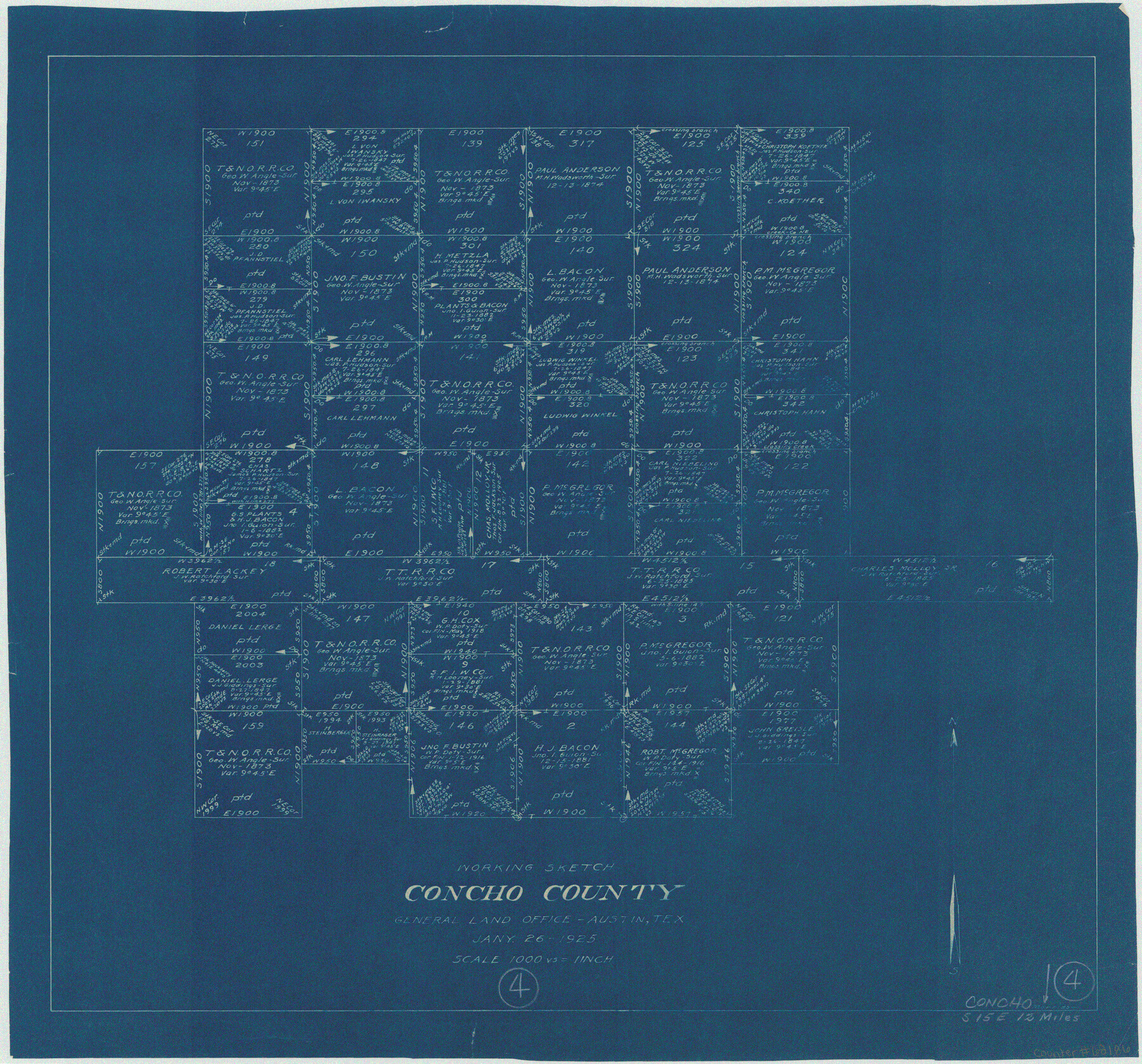
Concho County Working Sketch 4
-
Map/Doc
68186
-
Collection
General Map Collection
-
Object Dates
1/26/1925 (Creation Date)
-
People and Organizations
G.C. Morriss (Draftsman)
-
Counties
Concho
-
Subjects
Surveying Working Sketch
-
Height x Width
18.8 x 20.2 inches
47.8 x 51.3 cm
-
Scale
1" = 1000 varas
Part of: General Map Collection
Terrell County Working Sketch 12

Print $20.00
- Digital $50.00
Terrell County Working Sketch 12
1926
Size 18.3 x 21.0 inches
Map/Doc 62161
Navarro County Sketch File 18

Print $3.00
- Digital $50.00
Navarro County Sketch File 18
1871
Size 10.6 x 10.0 inches
Map/Doc 32335
Flight Mission No. DQN-5K, Frame 29, Calhoun County

Print $20.00
- Digital $50.00
Flight Mission No. DQN-5K, Frame 29, Calhoun County
1953
Size 18.5 x 22.3 inches
Map/Doc 84380
North America in the Age of Dinosaurs

North America in the Age of Dinosaurs
1993
Size 27.4 x 20.8 inches
Map/Doc 96831
McLennan County Boundary File 6

Print $16.00
- Digital $50.00
McLennan County Boundary File 6
Size 11.1 x 8.6 inches
Map/Doc 56997
Cottle County Rolled Sketch 13

Print $20.00
- Digital $50.00
Cottle County Rolled Sketch 13
1976
Size 21.6 x 35.5 inches
Map/Doc 5571
Trinity River, Bazzette Sheet

Print $4.00
- Digital $50.00
Trinity River, Bazzette Sheet
1925
Size 28.2 x 24.9 inches
Map/Doc 65218
Val Verde County Working Sketch 55

Print $20.00
- Digital $50.00
Val Verde County Working Sketch 55
1957
Size 20.1 x 28.6 inches
Map/Doc 72190
Flight Mission No. CLL-1N, Frame 111, Willacy County

Print $20.00
- Digital $50.00
Flight Mission No. CLL-1N, Frame 111, Willacy County
1954
Size 18.4 x 22.2 inches
Map/Doc 87045

Brazoria County Working Sketch 39

Print $40.00
- Digital $50.00
Brazoria County Working Sketch 39
1981
Size 74.6 x 44.1 inches
Map/Doc 67524
Hemphill County, State of Texas

Print $20.00
- Digital $50.00
Hemphill County, State of Texas
1888
Size 22.0 x 17.4 inches
Map/Doc 6187
You may also like
[Gulf, Colorado & Santa Fe]
![64577, [Gulf, Colorado & Santa Fe], General Map Collection](https://historictexasmaps.com/wmedia_w700/maps/64577.tif.jpg)
Print $20.00
- Digital $50.00
[Gulf, Colorado & Santa Fe]
Size 32.4 x 47.4 inches
Map/Doc 64577
McMullen County Working Sketch 16

Print $20.00
- Digital $50.00
McMullen County Working Sketch 16
1940
Size 23.8 x 19.8 inches
Map/Doc 70717
[Map showing T&P Lands in El Paso County]
![88932, [Map showing T&P Lands in El Paso County], Library of Congress](https://historictexasmaps.com/wmedia_w700/maps/88932.tif.jpg)
Print $20.00
[Map showing T&P Lands in El Paso County]
Size 22.2 x 17.1 inches
Map/Doc 88932
Plains Addition to Seagraves, Gaines County, Texas

Print $20.00
- Digital $50.00
Plains Addition to Seagraves, Gaines County, Texas
1948
Size 30.0 x 33.0 inches
Map/Doc 92691
Winkler County

Print $20.00
- Digital $50.00
Winkler County
1932
Size 39.7 x 38.5 inches
Map/Doc 95678
Fort Bend County Working Sketch 1

Print $20.00
- Digital $50.00
Fort Bend County Working Sketch 1
Size 16.0 x 27.4 inches
Map/Doc 69207
United States - Gulf Coast - From Latitude 26° 33' to the Rio Grande Texas

Print $20.00
- Digital $50.00
United States - Gulf Coast - From Latitude 26° 33' to the Rio Grande Texas
1913
Size 18.4 x 27.9 inches
Map/Doc 72842
Hardin County

Print $20.00
- Digital $50.00
Hardin County
1940
Size 47.4 x 42.4 inches
Map/Doc 73171
Map of Erath County

Print $20.00
- Digital $50.00
Map of Erath County
1856
Size 22.4 x 28.0 inches
Map/Doc 3519
Calhoun County Rolled Sketch 30

Print $20.00
- Digital $50.00
Calhoun County Rolled Sketch 30
1974
Size 18.8 x 27.6 inches
Map/Doc 5494
Gregg County Sketch File 9

Print $10.00
- Digital $50.00
Gregg County Sketch File 9
1931
Size 11.1 x 8.7 inches
Map/Doc 24586
Flight Mission No. BRE-1P, Frame 98, Nueces County

Print $20.00
- Digital $50.00
Flight Mission No. BRE-1P, Frame 98, Nueces County
1956
Size 18.4 x 22.1 inches
Map/Doc 86669