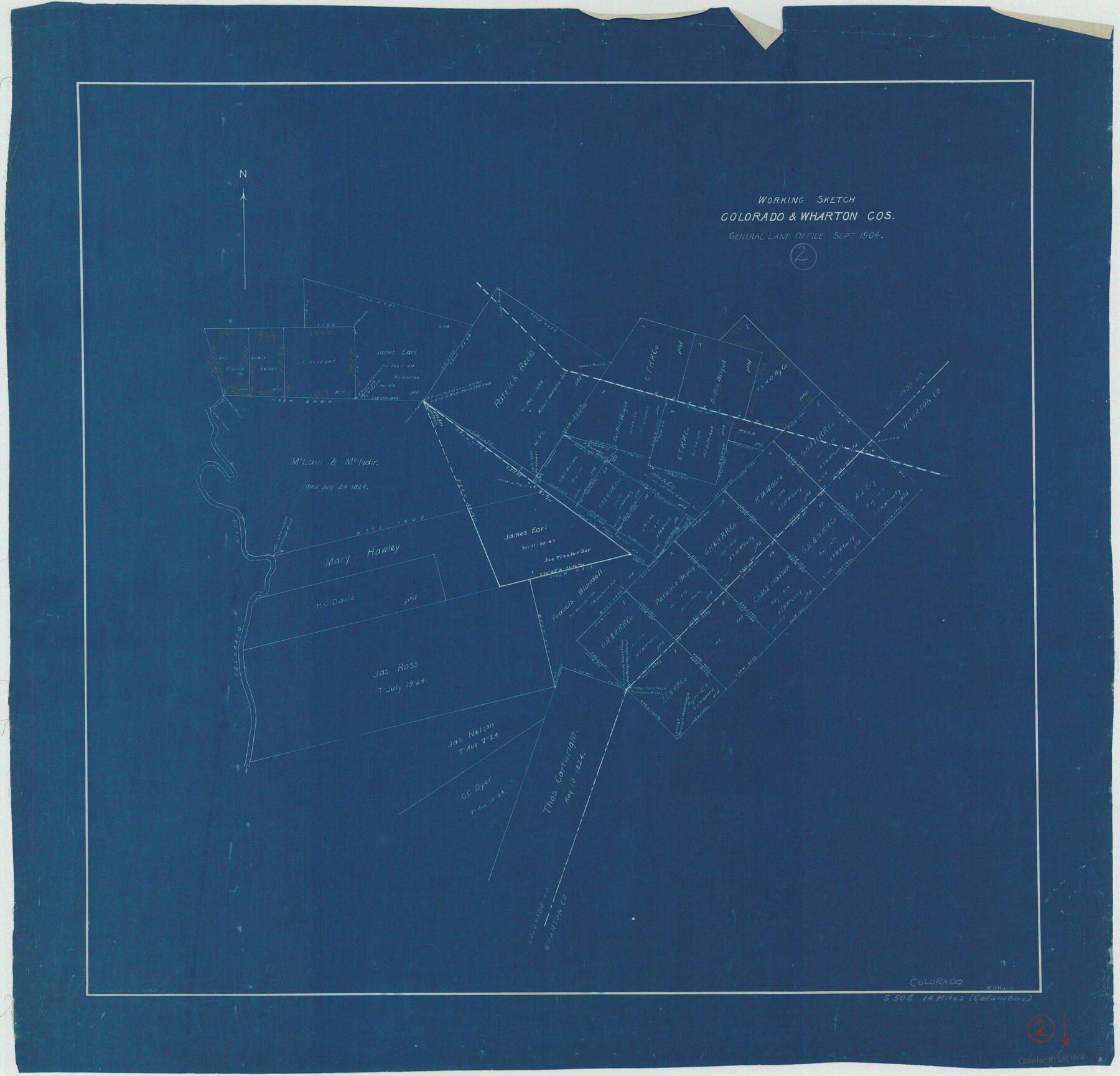
Colorado County Working Sketch 2
-
Map/Doc
68102
-
Collection
General Map Collection
-
Object Dates
9/1904 (Creation Date)
-
People and Organizations
Walter H. Walne (Draftsman)
-
Counties
Colorado Wharton
-
Subjects
Surveying Working Sketch
-
Height x Width
28.8 x 30.1 inches
73.2 x 76.5 cm
Part of: General Map Collection
Western Waters of the Clear Fork of the Brazos River below Phantom-Hill

Print $20.00
- Digital $50.00
Western Waters of the Clear Fork of the Brazos River below Phantom-Hill
1857
Size 16.0 x 12.5 inches
Map/Doc 4664
Tyler County Sketch File 8

Print $4.00
- Digital $50.00
Tyler County Sketch File 8
Size 8.6 x 6.8 inches
Map/Doc 38642
McMullen County Working Sketch 58

Print $40.00
- Digital $50.00
McMullen County Working Sketch 58
1984
Size 61.2 x 40.0 inches
Map/Doc 70759
Jeff Davis County Rolled Sketch 6A

Print $20.00
- Digital $50.00
Jeff Davis County Rolled Sketch 6A
1889
Size 20.1 x 40.4 inches
Map/Doc 6361
Colorado County Sketch File 12

Print $20.00
- Digital $50.00
Colorado County Sketch File 12
Size 14.6 x 17.8 inches
Map/Doc 11135
Crockett County Sketch File 22

Print $12.00
- Digital $50.00
Crockett County Sketch File 22
1881
Size 13.1 x 8.1 inches
Map/Doc 19691
Williamson County Working Sketch 17

Print $20.00
- Digital $50.00
Williamson County Working Sketch 17
1984
Size 32.7 x 24.0 inches
Map/Doc 72577
El Paso County Boundary File 7

Print $14.00
- Digital $50.00
El Paso County Boundary File 7
Size 14.0 x 8.8 inches
Map/Doc 53087
Trinity County Working Sketch 7a

Print $20.00
- Digital $50.00
Trinity County Working Sketch 7a
1933
Size 39.7 x 27.3 inches
Map/Doc 69455
Descripçion de las Yndias del Norte

Print $20.00
- Digital $50.00
Descripçion de las Yndias del Norte
1601
Size 11.4 x 13.9 inches
Map/Doc 94850
Jim Wells County Working Sketch 11

Print $20.00
- Digital $50.00
Jim Wells County Working Sketch 11
1953
Size 20.4 x 22.6 inches
Map/Doc 66609
Crockett County Rolled Sketch S

Print $20.00
- Digital $50.00
Crockett County Rolled Sketch S
Size 8.3 x 21.2 inches
Map/Doc 5639
You may also like
Van Zandt County Rolled Sketch 6

Print $3.00
- Digital $50.00
Van Zandt County Rolled Sketch 6
1946
Size 9.3 x 11.3 inches
Map/Doc 10311
Flight Mission No. DQN-1K, Frame 136, Calhoun County

Print $20.00
- Digital $50.00
Flight Mission No. DQN-1K, Frame 136, Calhoun County
1953
Size 18.5 x 22.3 inches
Map/Doc 84199
[Fort Worth & Rio Grande Ry.]
![64354, [Fort Worth & Rio Grande Ry.], General Map Collection](https://historictexasmaps.com/wmedia_w700/maps/64354.tif.jpg)
Print $20.00
- Digital $50.00
[Fort Worth & Rio Grande Ry.]
Size 15.2 x 43.0 inches
Map/Doc 64354
Gaines County Sketch File 2a

Print $16.00
- Digital $50.00
Gaines County Sketch File 2a
Size 9.0 x 8.9 inches
Map/Doc 23167
Flight Mission No. CGI-4N, Frame 161, Cameron County

Print $20.00
- Digital $50.00
Flight Mission No. CGI-4N, Frame 161, Cameron County
1955
Size 18.7 x 22.4 inches
Map/Doc 84669
Flight Mission No. CON-4R, Frame 200, Stonewall County

Print $20.00
- Digital $50.00
Flight Mission No. CON-4R, Frame 200, Stonewall County
1957
Size 18.2 x 22.0 inches
Map/Doc 86994
Menard County

Print $20.00
- Digital $50.00
Menard County
1942
Size 40.1 x 43.7 inches
Map/Doc 66928
[Surveys along the Leon River and Plum Creek]
![255, [Surveys along the Leon River and Plum Creek], General Map Collection](https://historictexasmaps.com/wmedia_w700/maps/255.tif.jpg)
Print $2.00
- Digital $50.00
[Surveys along the Leon River and Plum Creek]
1846
Size 11.7 x 7.6 inches
Map/Doc 255
Bandera County

Print $40.00
- Digital $50.00
Bandera County
1904
Size 30.7 x 61.0 inches
Map/Doc 3274
[T. & P. Block 44, Township 1S]
![90825, [T. & P. Block 44, Township 1S], Twichell Survey Records](https://historictexasmaps.com/wmedia_w700/maps/90825-2.tif.jpg)
Print $20.00
- Digital $50.00
[T. & P. Block 44, Township 1S]
Size 17.9 x 23.3 inches
Map/Doc 90825
Austin County Rolled Sketch 6

Print $20.00
- Digital $50.00
Austin County Rolled Sketch 6
1951
Size 25.5 x 34.0 inches
Map/Doc 5108
County and Railroad Map of Texas

Print $20.00
- Digital $50.00
County and Railroad Map of Texas
1876
Size 17.0 x 16.0 inches
Map/Doc 93624