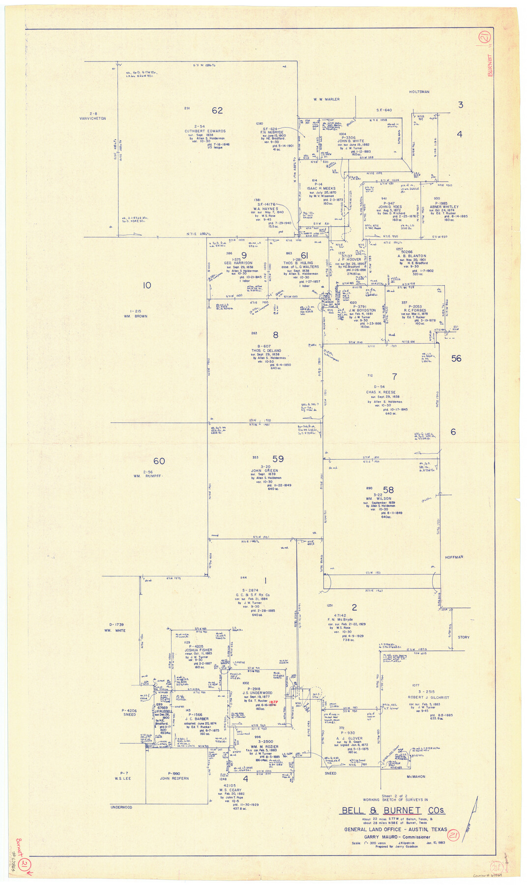
Burnet County Working Sketch 21
-
Map/Doc
67864
-
Collection
General Map Collection
-
Object Dates
1/10/1983 (Creation Date)
-
People and Organizations
Joan Kilpatrick (Draftsman)
-
Counties
Burnet Bell
-
Subjects
Surveying Working Sketch
-
Height x Width
47.6 x 28.4 inches
120.9 x 72.1 cm
-
Scale
1" = 300 varas
Part of: General Map Collection
Culberson County Working Sketch 21

Print $40.00
- Digital $50.00
Culberson County Working Sketch 21
1936
Size 36.7 x 57.8 inches
Map/Doc 68473
Henderson County Working Sketch 18

Print $20.00
- Digital $50.00
Henderson County Working Sketch 18
1941
Size 23.8 x 23.4 inches
Map/Doc 66151
Dimmit County Working Sketch 51

Print $20.00
- Digital $50.00
Dimmit County Working Sketch 51
1986
Size 25.7 x 36.1 inches
Map/Doc 68712
Live Oak County Boundary File 60c

Print $4.00
- Digital $50.00
Live Oak County Boundary File 60c
Size 14.0 x 8.7 inches
Map/Doc 56421
Harris County Working Sketch 15

Print $20.00
- Digital $50.00
Harris County Working Sketch 15
1916
Size 29.3 x 41.2 inches
Map/Doc 65907
Knox County Boundary File 1

Print $24.00
- Digital $50.00
Knox County Boundary File 1
Size 14.2 x 8.6 inches
Map/Doc 64998
Flight Mission No. BRA-16M, Frame 52, Jefferson County

Print $20.00
- Digital $50.00
Flight Mission No. BRA-16M, Frame 52, Jefferson County
1953
Size 18.5 x 22.6 inches
Map/Doc 85669
Potter County Boundary File 1a

Print $10.00
- Digital $50.00
Potter County Boundary File 1a
Size 14.1 x 8.8 inches
Map/Doc 57943
Shelby County Working Sketch 35

Print $20.00
- Digital $50.00
Shelby County Working Sketch 35
2010
Size 27.4 x 28.3 inches
Map/Doc 89285
Fort Bend County Working Sketch Graphic Index

Print $20.00
- Digital $50.00
Fort Bend County Working Sketch Graphic Index
1931
Size 40.7 x 41.9 inches
Map/Doc 76545
Titus County Boundary File 1

Print $4.00
- Digital $50.00
Titus County Boundary File 1
Size 14.6 x 9.2 inches
Map/Doc 59295
Williamson County Working Sketch 15

Print $20.00
- Digital $50.00
Williamson County Working Sketch 15
1982
Size 22.3 x 28.4 inches
Map/Doc 72575
You may also like
[Blocks GM, D2, D3, GP, and T]
![91503, [Blocks GM, D2, D3, GP, and T], Twichell Survey Records](https://historictexasmaps.com/wmedia_w700/maps/91503-1.tif.jpg)
Print $20.00
- Digital $50.00
[Blocks GM, D2, D3, GP, and T]
Size 32.8 x 15.9 inches
Map/Doc 91503
Uvalde County Working Sketch 12

Print $20.00
- Digital $50.00
Uvalde County Working Sketch 12
1943
Size 28.5 x 27.4 inches
Map/Doc 72082
Crockett County Sketch File 25

Print $26.00
- Digital $50.00
Crockett County Sketch File 25
1881
Size 12.9 x 8.3 inches
Map/Doc 19703

Crockett County Rolled Sketch 88E

Print $40.00
- Digital $50.00
Crockett County Rolled Sketch 88E
1973
Size 44.4 x 30.6 inches
Map/Doc 8730
Parker County Working Sketch 21

Print $20.00
- Digital $50.00
Parker County Working Sketch 21
2006
Map/Doc 83655
Map showing the Kansas & Gulf Short Line R.R. and the Texas & St. Louis R'y with its branches, extensions and connections.

Print $20.00
Map showing the Kansas & Gulf Short Line R.R. and the Texas & St. Louis R'y with its branches, extensions and connections.
1881
Size 30.3 x 30.9 inches
Map/Doc 93608
City of Slaton, Lubbock County, Texas

Print $40.00
- Digital $50.00
City of Slaton, Lubbock County, Texas
Size 51.4 x 41.3 inches
Map/Doc 89897
Township 6 North Range 14 West, North Western District, Louisiana

Print $20.00
- Digital $50.00
Township 6 North Range 14 West, North Western District, Louisiana
1841
Size 19.5 x 24.7 inches
Map/Doc 65863
El Paso County Boundary File 1

Print $48.00
- Digital $50.00
El Paso County Boundary File 1
Size 12.3 x 35.0 inches
Map/Doc 53015
North America

Print $20.00
- Digital $50.00
North America
1843
Size 16.7 x 13.7 inches
Map/Doc 95366
Presidio County Working Sketch 87

Print $20.00
- Digital $50.00
Presidio County Working Sketch 87
1971
Size 37.6 x 37.9 inches
Map/Doc 71764