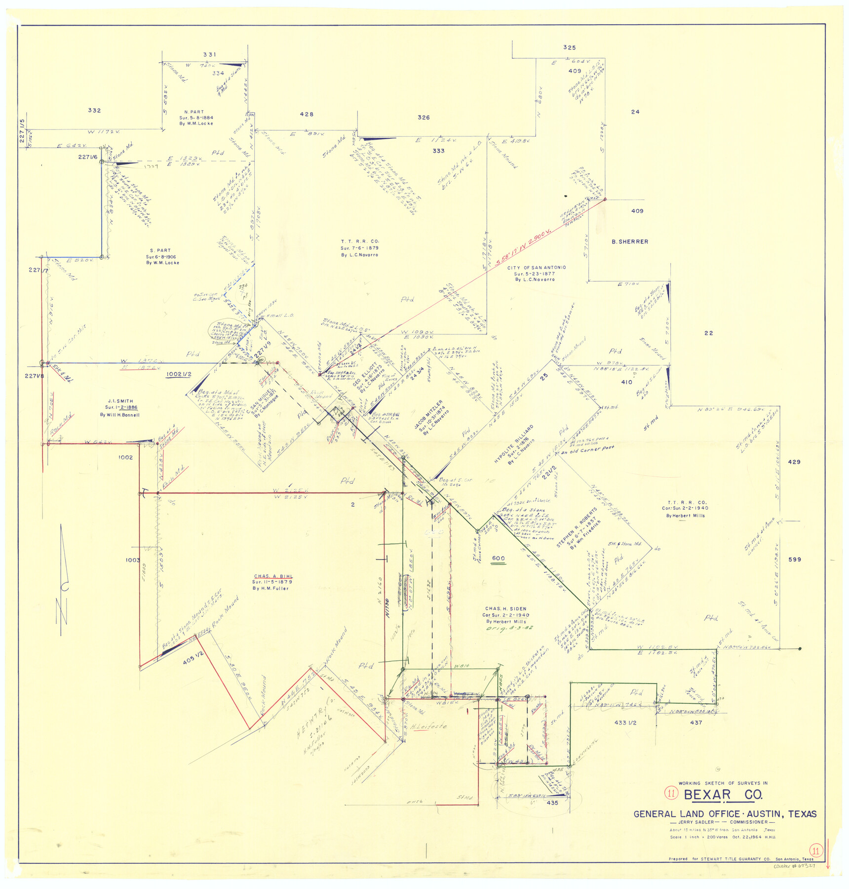
Bexar County Working Sketch 11
-
Map/Doc
67327
-
Collection
General Map Collection
-
Object Dates
10/22/1964 (Creation Date)
-
People and Organizations
Jerry Sadler (GLO Commissioner)
Herbert H. Ulbricht (Draftsman)
-
Counties
Bexar
-
Subjects
Surveying Working Sketch
-
Height x Width
38.6 x 36.9 inches
98.0 x 93.7 cm
-
Scale
1" = 200 varas
-
Comments
Surveys located about 15 miles North 35 degrees West of San Antonio, Texas.
Part of: General Map Collection
Map of a Route from Austin-City to Paso del Norte & c.

Print $20.00
- Digital $50.00
Map of a Route from Austin-City to Paso del Norte & c.
1849
Size 11.7 x 30.5 inches
Map/Doc 2121
Live Oak County Working Sketch 27

Print $20.00
- Digital $50.00
Live Oak County Working Sketch 27
1982
Size 12.7 x 17.4 inches
Map/Doc 70612

Map of Nacogdoches County

Print $20.00
- Digital $50.00
Map of Nacogdoches County
1881
Size 24.1 x 21.5 inches
Map/Doc 3909
Stephens County Sketch File 8

Print $40.00
- Digital $50.00
Stephens County Sketch File 8
1879
Size 13.5 x 14.2 inches
Map/Doc 37027
Hamilton County Sketch File 15

Print $2.00
- Digital $50.00
Hamilton County Sketch File 15
1882
Size 8.0 x 11.8 inches
Map/Doc 24941
Castro County Sketch File 3a

Print $4.00
- Digital $50.00
Castro County Sketch File 3a
1888
Size 14.1 x 8.4 inches
Map/Doc 17460
Edwards County Working Sketch 66

Print $20.00
- Digital $50.00
Edwards County Working Sketch 66
1957
Size 24.1 x 17.3 inches
Map/Doc 68942
Culberson County Working Sketch 63

Print $20.00
- Digital $50.00
Culberson County Working Sketch 63
1975
Size 34.1 x 24.9 inches
Map/Doc 68517
Flight Mission No. BRA-8M, Frame 117, Jefferson County

Print $20.00
- Digital $50.00
Flight Mission No. BRA-8M, Frame 117, Jefferson County
1953
Size 18.5 x 22.3 inches
Map/Doc 85613
El Paso County Working Sketch Graphic Index - north part

Print $20.00
- Digital $50.00
El Paso County Working Sketch Graphic Index - north part
1977
Size 33.4 x 45.0 inches
Map/Doc 76536

You may also like
San Patricio County NRC Article 33.136 Sketch 5

Print $20.00
- Digital $50.00
San Patricio County NRC Article 33.136 Sketch 5
2006
Size 36.0 x 24.0 inches
Map/Doc 94697
Travis County Working Sketch 39

Print $20.00
- Digital $50.00
Travis County Working Sketch 39
1974
Size 33.1 x 31.7 inches
Map/Doc 69423
Map of Chambers Co.

Print $20.00
- Digital $50.00
Map of Chambers Co.
1901
Size 24.9 x 25.1 inches
Map/Doc 4907
Cass County Working Sketch 18

Print $20.00
- Digital $50.00
Cass County Working Sketch 18
1958
Size 24.2 x 44.3 inches
Map/Doc 67921
Erath County Working Sketch 21

Print $20.00
- Digital $50.00
Erath County Working Sketch 21
1965
Size 23.9 x 19.8 inches
Map/Doc 69102
English Field Notes of the Spanish Archives - Book S

English Field Notes of the Spanish Archives - Book S
1835
Map/Doc 96543
Intracoastal Waterway - Galveston Bay to West Bay including Galveston Bay Entrance

Print $20.00
- Digital $50.00
Intracoastal Waterway - Galveston Bay to West Bay including Galveston Bay Entrance
1957
Size 27.2 x 38.6 inches
Map/Doc 69932
Pecos County Sketch File 22

Print $20.00
- Digital $50.00
Pecos County Sketch File 22
1886
Size 14.0 x 8.8 inches
Map/Doc 33670
General Highway Map, Mitchell County, Texas

Print $20.00
General Highway Map, Mitchell County, Texas
1961
Size 18.1 x 24.6 inches
Map/Doc 79600
[San Antonio & Galveston RR]
![64149, [San Antonio & Galveston RR], General Map Collection](https://historictexasmaps.com/wmedia_w700/maps/64149.tif.jpg)
Print $20.00
- Digital $50.00
[San Antonio & Galveston RR]
Size 37.6 x 11.2 inches
Map/Doc 64149
Map showing surveys in Blocks 45, 3, R & 5T

Print $20.00
- Digital $50.00
Map showing surveys in Blocks 45, 3, R & 5T
1913
Size 30.2 x 37.5 inches
Map/Doc 496
The Republic County of Harris. December 29, 1845

Print $20.00
The Republic County of Harris. December 29, 1845
2020
Size 17.7 x 21.7 inches
Map/Doc 96168