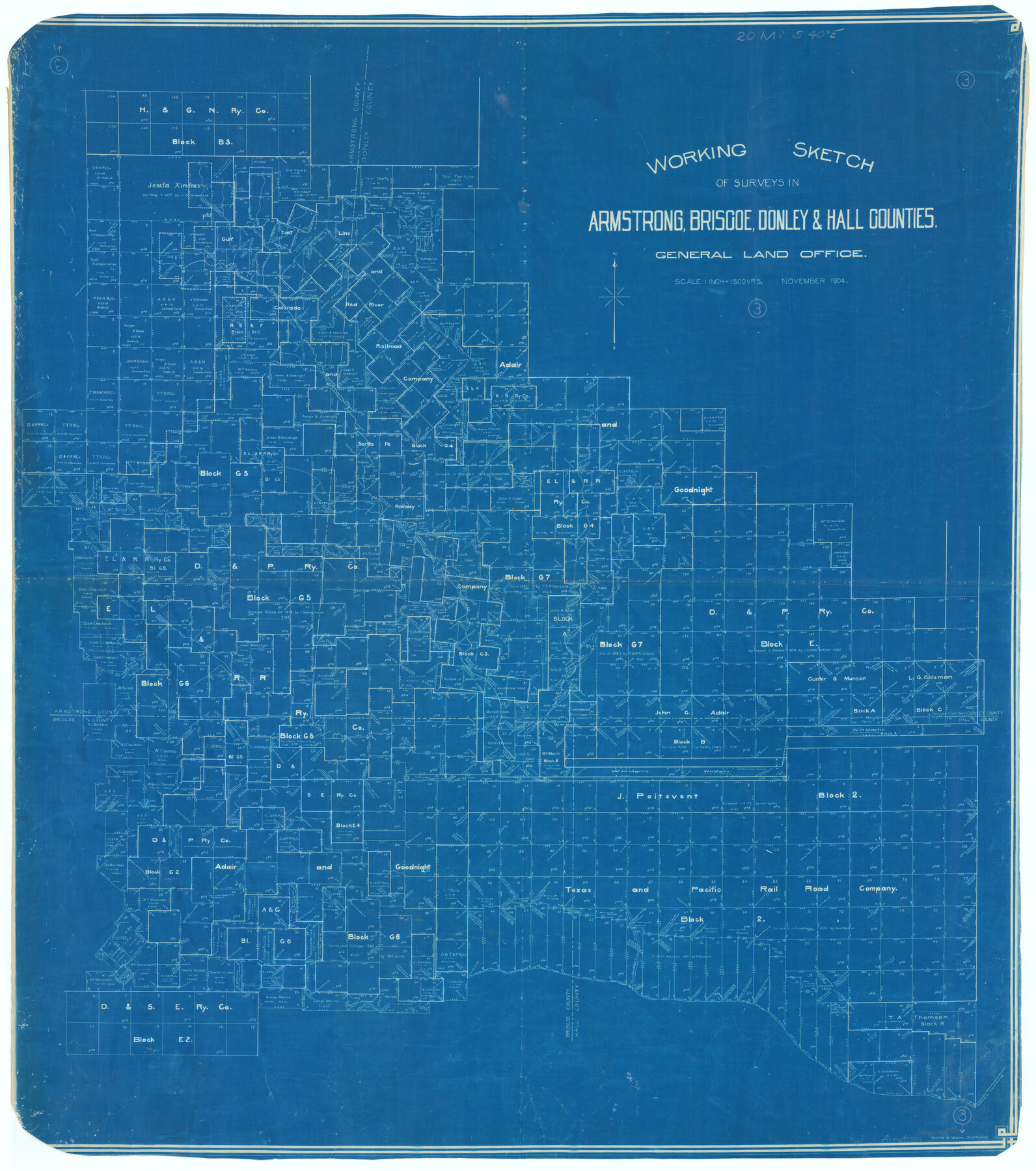
Armstrong County Working Sketch 3
-
Map/Doc
67234
-
Collection
General Map Collection
-
Object Dates
11/1904 (Creation Date)
-
People and Organizations
Walter H. Walne (Draftsman)
-
Counties
Armstrong Briscoe Donley Hall
-
Subjects
Surveying Working Sketch
-
Height x Width
46.1 x 40.8 inches
117.1 x 103.6 cm
-
Scale
1" = 1500 varas
-
Comments
Surveys located about 20 miles South 40 degrees East of Claude, Texas.
Part of: General Map Collection
Rains County Rolled Sketch 3

Print $40.00
- Digital $50.00
Rains County Rolled Sketch 3
1992
Size 56.2 x 38.4 inches
Map/Doc 8353
Flight Mission No. CGI-3N, Frame 176, Cameron County

Print $20.00
- Digital $50.00
Flight Mission No. CGI-3N, Frame 176, Cameron County
1954
Size 18.6 x 22.4 inches
Map/Doc 84640
Sterling County Working Sketch 7

Print $20.00
- Digital $50.00
Sterling County Working Sketch 7
1957
Size 22.1 x 26.1 inches
Map/Doc 63989
Texas, Corpus Christi Bay, Red Fish Bay to Nueces Bay

Print $40.00
- Digital $50.00
Texas, Corpus Christi Bay, Red Fish Bay to Nueces Bay
1934
Size 31.8 x 48.3 inches
Map/Doc 73459
Leon County Rolled Sketch 31

Print $20.00
- Digital $50.00
Leon County Rolled Sketch 31
1990
Size 44.5 x 32.7 inches
Map/Doc 6614
Morris County

Print $20.00
- Digital $50.00
Morris County
1906
Size 46.4 x 22.3 inches
Map/Doc 66943
Hutchinson County Sketch File 38

Print $40.00
- Digital $50.00
Hutchinson County Sketch File 38
1935
Size 17.6 x 14.2 inches
Map/Doc 27280
Starr County Sketch File 48

Print $20.00
- Digital $50.00
Starr County Sketch File 48
1950
Size 22.3 x 10.8 inches
Map/Doc 12345
Matagorda County Sketch File 2

Print $6.00
- Digital $50.00
Matagorda County Sketch File 2
1866
Size 15.9 x 10.8 inches
Map/Doc 30730
Current Miscellaneous File 80

Print $8.00
- Digital $50.00
Current Miscellaneous File 80
Size 13.7 x 8.7 inches
Map/Doc 74213
Concho County Sketch File 3

Print $6.00
- Digital $50.00
Concho County Sketch File 3
1857
Size 13.1 x 8.4 inches
Map/Doc 19124
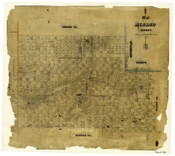
Map of Menard County
Print $20.00
- Digital $50.00
Map of Menard County
1860
Size 20.9 x 23.3 inches
Map/Doc 3874
You may also like
Austin County Working Sketch 4

Print $20.00
- Digital $50.00
Austin County Working Sketch 4
1959
Size 29.8 x 34.8 inches
Map/Doc 67245
Bandera County Working Sketch 7

Print $20.00
- Digital $50.00
Bandera County Working Sketch 7
1920
Size 18.1 x 22.5 inches
Map/Doc 67600
Leon County Sketch File 7

Print $6.00
- Digital $50.00
Leon County Sketch File 7
1858
Size 12.4 x 8.2 inches
Map/Doc 29721
Comal County Working Sketch 11

Print $20.00
- Digital $50.00
Comal County Working Sketch 11
1978
Size 33.2 x 35.2 inches
Map/Doc 68177
Map of Houston, Texas

Print $20.00
- Digital $50.00
Map of Houston, Texas
1890
Size 10.3 x 7.1 inches
Map/Doc 94064
Webb County Working Sketch 2

Print $20.00
- Digital $50.00
Webb County Working Sketch 2
1906
Size 11.2 x 12.5 inches
Map/Doc 72367
Map of Llano County, Texas

Print $20.00
Map of Llano County, Texas
1879
Size 23.1 x 21.2 inches
Map/Doc 88970
Colorado River, Glen Flora Sheet

Print $6.00
- Digital $50.00
Colorado River, Glen Flora Sheet
1941
Size 24.5 x 32.6 inches
Map/Doc 65310
Travis County Rolled Sketch 3

Print $40.00
- Digital $50.00
Travis County Rolled Sketch 3
1902
Size 37.2 x 48.0 inches
Map/Doc 10009
Duval County Boundary File 1e

Print $40.00
- Digital $50.00
Duval County Boundary File 1e
Size 6.1 x 23.1 inches
Map/Doc 52701
Flight Mission No. CGI-3N, Frame 134, Cameron County

Print $20.00
- Digital $50.00
Flight Mission No. CGI-3N, Frame 134, Cameron County
1954
Size 18.4 x 22.2 inches
Map/Doc 84607
Houston County Working Sketch 36

Print $40.00
- Digital $50.00
Houston County Working Sketch 36
1987
Size 61.2 x 43.6 inches
Map/Doc 78231