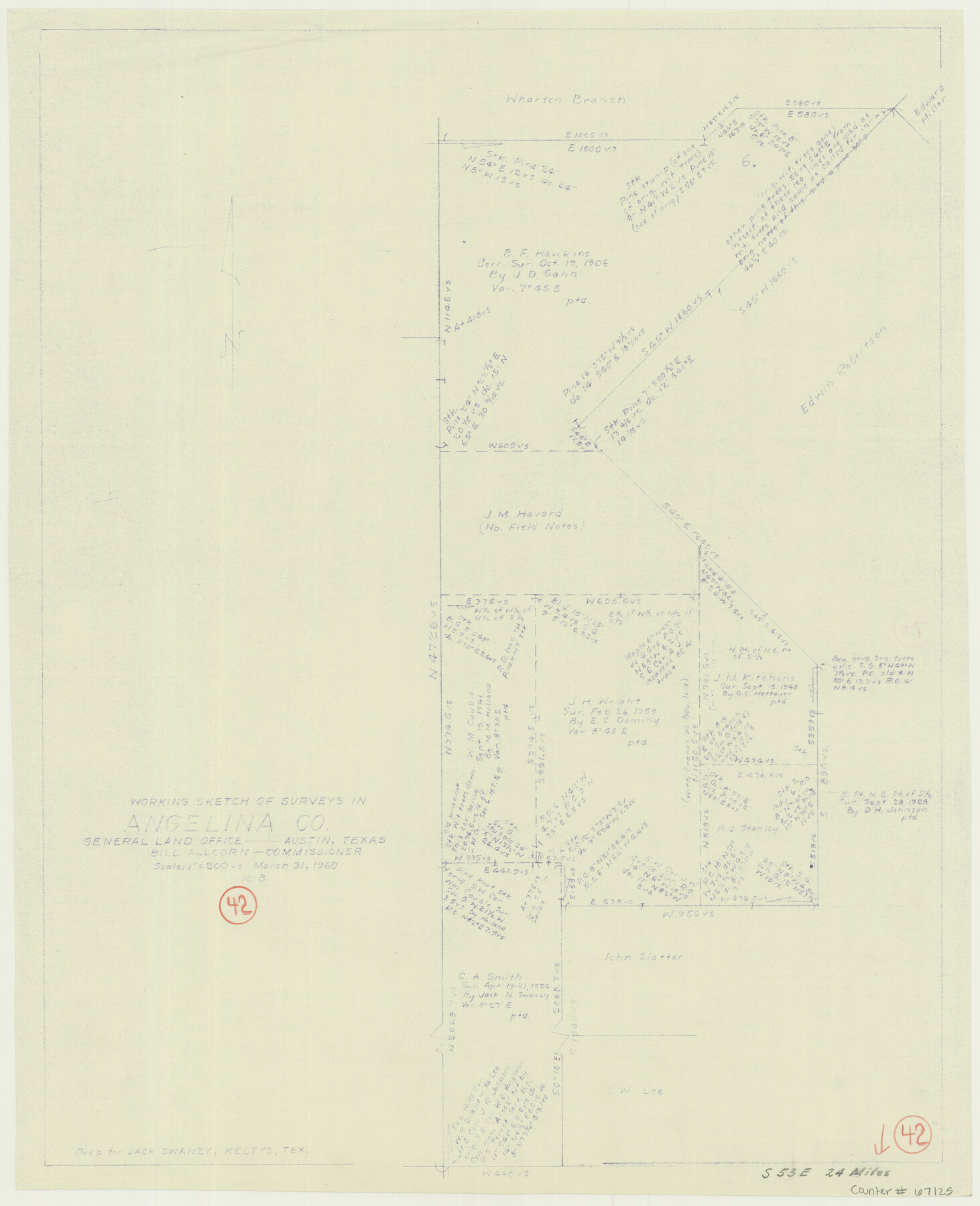
Angelina County Working Sketch 42
-
Map/Doc
67125
-
Collection
General Map Collection
-
Object Dates
3/31/1960 (Creation Date)
-
People and Organizations
Bill Allcorn (GLO Commissioner)
Roy Buckholts (Draftsman)
-
Counties
Angelina
-
Subjects
Surveying Working Sketch
-
Height x Width
22.4 x 18.2 inches
56.9 x 46.2 cm
-
Scale
1" = 200 varas
-
Comments
Surveys located about 24 miles South 53 degrees East from Lufkin, Texas.
Part of: General Map Collection
Flight Mission No. DCL-4C, Frame 97, Kenedy County

Print $20.00
- Digital $50.00
Flight Mission No. DCL-4C, Frame 97, Kenedy County
1943
Size 18.6 x 22.4 inches
Map/Doc 85818
Colorado County Working Sketch 33

Print $20.00
- Digital $50.00
Colorado County Working Sketch 33
1988
Size 38.7 x 32.4 inches
Map/Doc 68133
Flight Mission No. DQO-1K, Frame 148, Galveston County

Print $20.00
- Digital $50.00
Flight Mission No. DQO-1K, Frame 148, Galveston County
1952
Size 18.8 x 22.5 inches
Map/Doc 85001
Nueces County Rolled Sketch 32

Print $20.00
- Digital $50.00
Nueces County Rolled Sketch 32
Size 17.0 x 17.2 inches
Map/Doc 6876
Township 13 South Ranges 14 and 15 West, South Western District, Louisiana

Print $20.00
- Digital $50.00
Township 13 South Ranges 14 and 15 West, South Western District, Louisiana
1838
Size 19.6 x 24.8 inches
Map/Doc 65857
Nueces County Rolled Sketch GT

Print $20.00
- Digital $50.00
Nueces County Rolled Sketch GT
1924
Size 24.9 x 38.6 inches
Map/Doc 7169
Flight Mission No. BRA-3M, Frame 125, Jefferson County

Print $20.00
- Digital $50.00
Flight Mission No. BRA-3M, Frame 125, Jefferson County
1953
Size 18.6 x 21.5 inches
Map/Doc 85399
Young County Working Sketch 27

Print $20.00
- Digital $50.00
Young County Working Sketch 27
1982
Size 24.3 x 32.6 inches
Map/Doc 62050
Map of Williamson County

Print $20.00
- Digital $50.00
Map of Williamson County
1880
Size 20.9 x 29.0 inches
Map/Doc 4148
Lavaca County Working Sketch 17

Print $20.00
- Digital $50.00
Lavaca County Working Sketch 17
1979
Size 34.7 x 44.6 inches
Map/Doc 70370
Map of Shelby County

Print $20.00
- Digital $50.00
Map of Shelby County
1839
Size 24.5 x 25.7 inches
Map/Doc 4032
Brewster County Sketch File 53

Print $94.00
- Digital $50.00
Brewster County Sketch File 53
1910
Size 13.3 x 8.9 inches
Map/Doc 16361
You may also like
Baylor County Boundary File 1

Print $25.00
- Digital $50.00
Baylor County Boundary File 1
Size 9.3 x 8.4 inches
Map/Doc 50347

Reeves County Rolled Sketch 23

Print $20.00
- Digital $50.00
Reeves County Rolled Sketch 23
1982
Size 19.6 x 25.5 inches
Map/Doc 7491
Hudspeth County Rolled Sketch 36

Print $20.00
- Digital $50.00
Hudspeth County Rolled Sketch 36
1952
Size 30.8 x 19.9 inches
Map/Doc 6249
Pecos County Rolled Sketch 160

Print $20.00
- Digital $50.00
Pecos County Rolled Sketch 160
Size 43.0 x 36.9 inches
Map/Doc 9739
Kleberg County Rolled Sketch 10-8

Print $20.00
- Digital $50.00
Kleberg County Rolled Sketch 10-8
1951
Size 36.6 x 33.7 inches
Map/Doc 9370
Pecos County Rolled Sketch CM-2

Print $20.00
- Digital $50.00
Pecos County Rolled Sketch CM-2
1938
Size 33.6 x 41.3 inches
Map/Doc 9716
Clay County Working Sketch 12

Print $20.00
- Digital $50.00
Clay County Working Sketch 12
1955
Size 30.6 x 39.4 inches
Map/Doc 68035
Walker County Sketch File 5

Print $4.00
- Digital $50.00
Walker County Sketch File 5
Size 13.5 x 8.3 inches
Map/Doc 39555
[Surveys along San Antonio Road]
![90110, [Surveys along San Antonio Road], Twichell Survey Records](https://historictexasmaps.com/wmedia_w700/maps/90110-1.tif.jpg)
Print $20.00
- Digital $50.00
[Surveys along San Antonio Road]
Size 23.0 x 13.7 inches
Map/Doc 90110
International boundary between the United States and Mexico in the Rio Grande and Colorado River delineated in accordance with the Treaty of November 23, 1970 - Volume 1

International boundary between the United States and Mexico in the Rio Grande and Colorado River delineated in accordance with the Treaty of November 23, 1970 - Volume 1
1972
Map/Doc 1747
