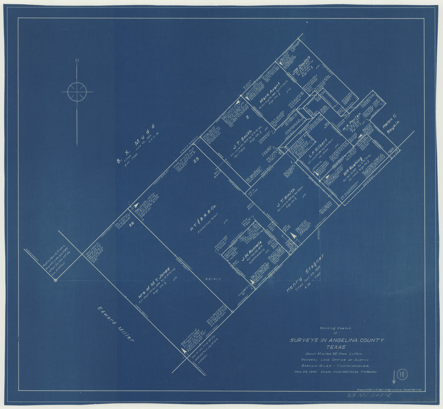
Angelina County Working Sketch 18
-
Map/Doc
67099
-
Collection
General Map Collection
-
Object Dates
2/23/1944 (Creation Date)
-
People and Organizations
Bascom Giles (GLO Commissioner)
F.H. Becker (Draftsman)
-
Counties
Angelina
-
Subjects
Surveying Working Sketch
-
Height x Width
26.6 x 28.8 inches
67.6 x 73.2 cm
-
Scale
1" = 300 varas
-
Comments
Surveys located about 27 miles South 65 degrees East from Lufkin, Texas.
Part of: General Map Collection
Presidio County Sketch File 61

Print $3.00
- Digital $50.00
Presidio County Sketch File 61
1930
Size 9.3 x 15.4 inches
Map/Doc 89987
Chambers County Working Sketch 8

Print $20.00
- Digital $50.00
Chambers County Working Sketch 8
1940
Size 20.9 x 44.4 inches
Map/Doc 67991
Burleson County Working Sketch 24

Print $20.00
- Digital $50.00
Burleson County Working Sketch 24
1980
Size 18.5 x 35.9 inches
Map/Doc 67743
Hardin County Sketch File X

Print $9.00
- Digital $50.00
Hardin County Sketch File X
Size 8.2 x 8.3 inches
Map/Doc 25075
Val Verde County Rolled Sketch 79

Print $20.00
- Digital $50.00
Val Verde County Rolled Sketch 79
1983
Size 25.6 x 21.7 inches
Map/Doc 8141
Scurry County Sketch File 5

Print $4.00
- Digital $50.00
Scurry County Sketch File 5
1990
Size 14.4 x 8.9 inches
Map/Doc 36568
Briscoe County Boundary File 6

Print $4.00
- Digital $50.00
Briscoe County Boundary File 6
Size 10.6 x 8.1 inches
Map/Doc 50804
Atascosa County Rolled Sketch 17

Print $20.00
- Digital $50.00
Atascosa County Rolled Sketch 17
1953
Size 35.6 x 28.2 inches
Map/Doc 5097
San Jacinto County Working Sketch 10

Print $20.00
- Digital $50.00
San Jacinto County Working Sketch 10
1935
Size 40.1 x 40.1 inches
Map/Doc 63723
Jalisco Banco Number 67, cut from Mexico in 1909

Print $3.00
- Digital $50.00
Jalisco Banco Number 67, cut from Mexico in 1909
1912
Size 14.2 x 11.2 inches
Map/Doc 2064
El Paso County Working Sketch 52

Print $20.00
- Digital $50.00
El Paso County Working Sketch 52
1992
Size 29.1 x 16.1 inches
Map/Doc 69074
Right of Way and Track Map, the Missouri, Kansas and Texas Ry. of Texas - Henrietta Division

Print $20.00
- Digital $50.00
Right of Way and Track Map, the Missouri, Kansas and Texas Ry. of Texas - Henrietta Division
1918
Size 11.8 x 26.8 inches
Map/Doc 64752
You may also like
Robertson County Working Sketch 11

Print $20.00
- Digital $50.00
Robertson County Working Sketch 11
1984
Size 20.2 x 21.4 inches
Map/Doc 63584
Travis County Rolled Sketch 33

Print $20.00
- Digital $50.00
Travis County Rolled Sketch 33
Size 22.7 x 32.7 inches
Map/Doc 8034
[Sketch for Mineral Application 20124, North Fork of Red River]
![2828, [Sketch for Mineral Application 20124, North Fork of Red River], General Map Collection](https://historictexasmaps.com/wmedia_w700/maps/2828.tif.jpg)
Print $20.00
- Digital $50.00
[Sketch for Mineral Application 20124, North Fork of Red River]
1943
Size 18.8 x 25.8 inches
Map/Doc 2828
The Scarborough Company's New Railroad, Post Office & County Map of Texas, Oklahoma and Indian Territory Compiled from the Latest Government Surveys and Original Sources

Print $20.00
The Scarborough Company's New Railroad, Post Office & County Map of Texas, Oklahoma and Indian Territory Compiled from the Latest Government Surveys and Original Sources
1904
Size 43.1 x 47.8 inches
Map/Doc 93967
Angelina County

Print $40.00
- Digital $50.00
Angelina County
1945
Size 40.2 x 49.7 inches
Map/Doc 95417
Glasscock County Sketch File 19

Print $20.00
- Digital $50.00
Glasscock County Sketch File 19
Size 21.4 x 16.8 inches
Map/Doc 11563
Terrell County Working Sketch 84b

Print $20.00
- Digital $50.00
Terrell County Working Sketch 84b
1992
Size 25.2 x 42.7 inches
Map/Doc 69606
Motley County Sketch File 9 (N)

Print $10.00
- Digital $50.00
Motley County Sketch File 9 (N)
1902
Size 11.1 x 8.6 inches
Map/Doc 32019
Pecos County Rolled Sketch 89

Print $40.00
- Digital $50.00
Pecos County Rolled Sketch 89
1934
Size 56.2 x 41.4 inches
Map/Doc 10719
Crockett County Working Sketch 1

Print $20.00
- Digital $50.00
Crockett County Working Sketch 1
Size 20.7 x 16.7 inches
Map/Doc 68334
The Republic County of Galveston. December 29, 1845

Print $20.00
The Republic County of Galveston. December 29, 1845
2020
Size 14.7 x 21.9 inches
Map/Doc 96146
Panola County Working Sketch 14

Print $40.00
- Digital $50.00
Panola County Working Sketch 14
1945
Map/Doc 71423