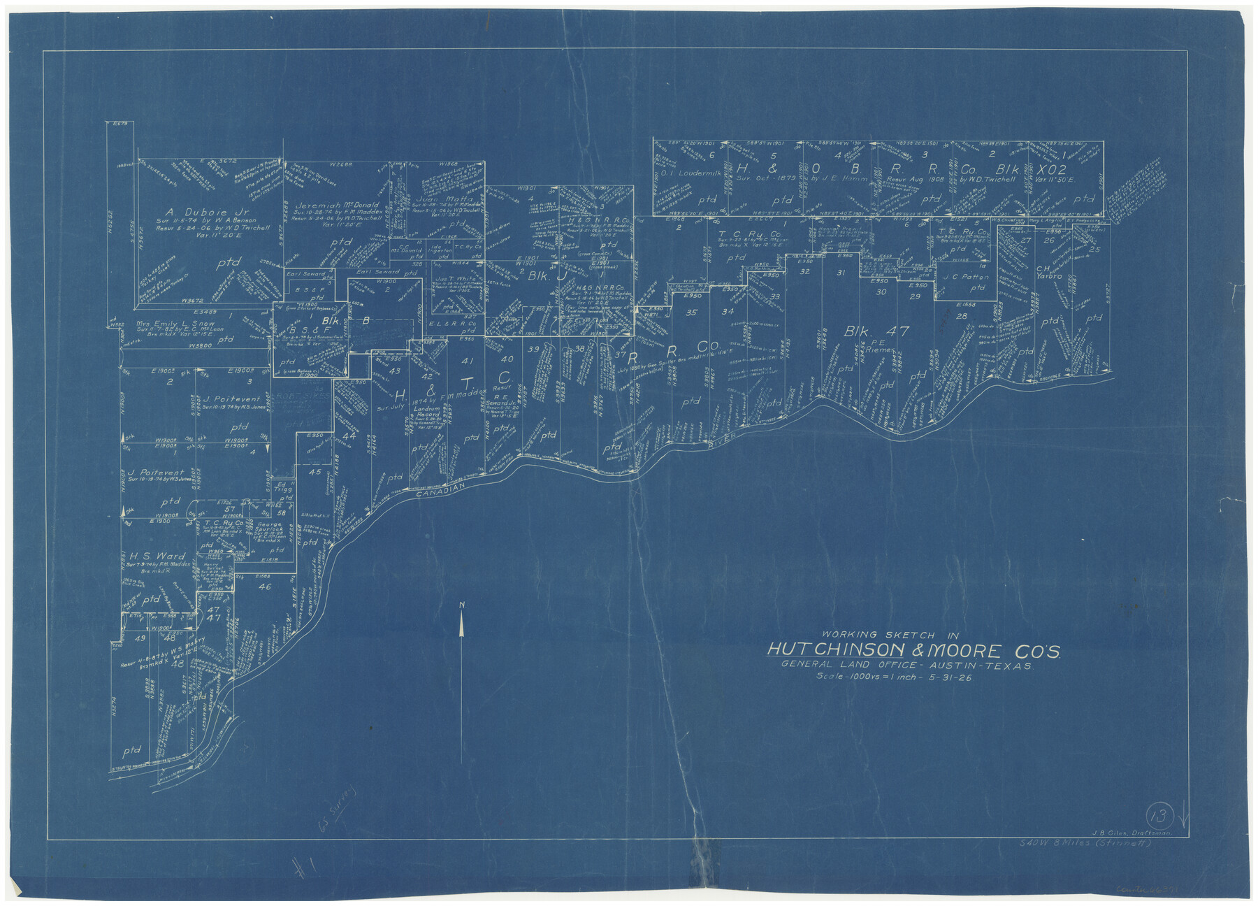
Hutchinson County Working Sketch 13
-
Map/Doc
66371
-
Collection
General Map Collection
-
Object Dates
5/31/1926 (Creation Date)
-
People and Organizations
J. Bascom Giles (Draftsman)
-
Counties
Hutchinson Moore
-
Subjects
Surveying Working Sketch
-
Height x Width
22.6 x 31.5 inches
57.4 x 80.0 cm
-
Scale
1" = 1000 varas
Part of: General Map Collection
Pecos County Sketch File 19

Print $4.00
- Digital $50.00
Pecos County Sketch File 19
Size 14.2 x 8.8 inches
Map/Doc 33668
Schleicher County Rolled Sketch 19

Print $20.00
- Digital $50.00
Schleicher County Rolled Sketch 19
Size 25.0 x 21.9 inches
Map/Doc 7761
[Right of Way & Track Map, The Texas & Pacific Ry. Co. Main Line]
![64691, [Right of Way & Track Map, The Texas & Pacific Ry. Co. Main Line], General Map Collection](https://historictexasmaps.com/wmedia_w700/maps/64691.tif.jpg)
Print $20.00
- Digital $50.00
[Right of Way & Track Map, The Texas & Pacific Ry. Co. Main Line]
Size 10.9 x 18.6 inches
Map/Doc 64691
Galveston County Rolled Sketch 18

Print $20.00
- Digital $50.00
Galveston County Rolled Sketch 18
1959
Size 27.9 x 35.8 inches
Map/Doc 5955
Wilbarger County Working Sketch 17

Print $20.00
- Digital $50.00
Wilbarger County Working Sketch 17
1957
Size 7.5 x 18.4 inches
Map/Doc 72555
Austin County Sketch File 15

Print $12.00
- Digital $50.00
Austin County Sketch File 15
Size 9.5 x 8.2 inches
Map/Doc 13882
Edwards County Rolled Sketch 23

Print $20.00
- Digital $50.00
Edwards County Rolled Sketch 23
1952
Size 26.3 x 34.7 inches
Map/Doc 8846
Harris County Sketch File 35a

Print $20.00
- Digital $50.00
Harris County Sketch File 35a
1921
Size 25.2 x 30.8 inches
Map/Doc 11651
Kinney County Sketch File 17

Print $3.00
- Digital $50.00
Kinney County Sketch File 17
1888
Size 11.7 x 16.9 inches
Map/Doc 11942
Haskell County Sketch File 12

Print $20.00
- Digital $50.00
Haskell County Sketch File 12
1881
Size 18.8 x 23.6 inches
Map/Doc 11741
San Patricio County Rolled Sketch 44

Print $55.00
- Digital $50.00
San Patricio County Rolled Sketch 44
1934
Size 9.8 x 14.9 inches
Map/Doc 48933
Hutchinson County Working Sketch 39

Print $20.00
- Digital $50.00
Hutchinson County Working Sketch 39
1978
Size 27.4 x 23.2 inches
Map/Doc 66399
You may also like
Nolan County Boundary File 1

Print $60.00
- Digital $50.00
Nolan County Boundary File 1
Size 8.8 x 3.9 inches
Map/Doc 57617
[Surveys on Galveston and East Bay]
![248, [Surveys on Galveston and East Bay], General Map Collection](https://historictexasmaps.com/wmedia_w700/maps/248.tif.jpg)
Print $2.00
- Digital $50.00
[Surveys on Galveston and East Bay]
1846
Size 8.8 x 7.9 inches
Map/Doc 248
Webb County Sketch File 44a

Print $20.00
- Digital $50.00
Webb County Sketch File 44a
1936
Size 29.4 x 18.2 inches
Map/Doc 12640
Bowie County Rolled Sketch 5

Print $20.00
- Digital $50.00
Bowie County Rolled Sketch 5
Size 33.1 x 44.5 inches
Map/Doc 8457
General Highway Map, Jasper County, Texas

Print $20.00
General Highway Map, Jasper County, Texas
1961
Size 18.3 x 24.7 inches
Map/Doc 79535
Harris County Sketch File 46

Print $6.00
- Digital $50.00
Harris County Sketch File 46
1906
Size 8.8 x 13.7 inches
Map/Doc 25443
Map of West Part of Galveston County, Texas

Print $20.00
- Digital $50.00
Map of West Part of Galveston County, Texas
1880
Size 28.6 x 21.9 inches
Map/Doc 716
Webb County Rolled Sketch 19

Print $40.00
- Digital $50.00
Webb County Rolled Sketch 19
1928
Size 27.9 x 53.7 inches
Map/Doc 10119
Harris County Historic Topographic 10

Print $20.00
- Digital $50.00
Harris County Historic Topographic 10
1916
Size 30.2 x 22.9 inches
Map/Doc 65820

Stonewall County Sketch File 21

Print $4.00
- Digital $50.00
Stonewall County Sketch File 21
1933
Size 7.1 x 8.7 inches
Map/Doc 37291
Flight Mission No. DQN-7K, Frame 12, Calhoun County

Print $20.00
- Digital $50.00
Flight Mission No. DQN-7K, Frame 12, Calhoun County
1953
Size 18.6 x 22.2 inches
Map/Doc 84463