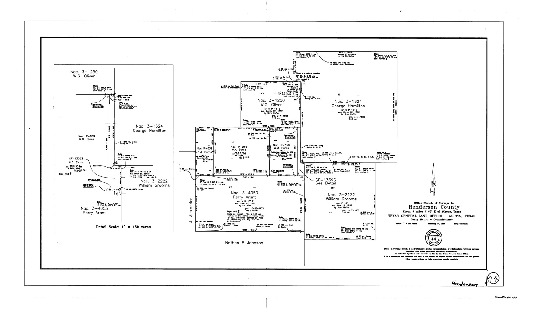
Henderson County Working Sketch 44
-
Map/Doc
66177
-
Collection
General Map Collection
-
Object Dates
2/27/1998 (Creation Date)
-
Counties
Henderson
-
Subjects
Surveying Working Sketch
-
Height x Width
19.0 x 33.0 inches
48.3 x 83.8 cm
-
Scale
1" = 300 varas
Part of: General Map Collection
Pecos County Rolled Sketch 100

Print $20.00
- Digital $50.00
Pecos County Rolled Sketch 100
1936
Size 45.2 x 25.2 inches
Map/Doc 9712
Index Map No. 1 - Rio Bravo del Norte section of boundary between the United States & Mexico; agreed upon by the Joint Commission under the Treaty of Guadalupe Hidalgo

Print $20.00
- Digital $50.00
Index Map No. 1 - Rio Bravo del Norte section of boundary between the United States & Mexico; agreed upon by the Joint Commission under the Treaty of Guadalupe Hidalgo
1852
Size 18.3 x 27.5 inches
Map/Doc 72862
Sketch of Surveys on Caranchua and Tres Palacious Bayous, Jackson Co.

Print $2.00
- Digital $50.00
Sketch of Surveys on Caranchua and Tres Palacious Bayous, Jackson Co.
Size 7.9 x 7.8 inches
Map/Doc 69743
Hemphill County Sketch File 7

Print $20.00
- Digital $50.00
Hemphill County Sketch File 7
1924
Size 18.5 x 20.4 inches
Map/Doc 11753
Flight Mission No. CLL-3N, Frame 44, Willacy County

Print $20.00
- Digital $50.00
Flight Mission No. CLL-3N, Frame 44, Willacy County
1954
Size 18.4 x 22.0 inches
Map/Doc 87102
Bexar County Rolled Sketch 16

Print $20.00
- Digital $50.00
Bexar County Rolled Sketch 16
1847
Size 21.1 x 14.8 inches
Map/Doc 5141
Val Verde County Working Sketch 115

Print $20.00
- Digital $50.00
Val Verde County Working Sketch 115
2002
Size 38.6 x 36.4 inches
Map/Doc 76400
Gregg County Working Sketch 22

Print $20.00
- Digital $50.00
Gregg County Working Sketch 22
1981
Size 23.2 x 21.5 inches
Map/Doc 63289
Pecos County Sketch File 49c

Print $10.00
- Digital $50.00
Pecos County Sketch File 49c
Size 5.9 x 8.7 inches
Map/Doc 33768
Sketch D No. 2 Showing the Progress of the Survey of Cape Fear and Vicinity in Sections No. IV & V

Digital $50.00
Sketch D No. 2 Showing the Progress of the Survey of Cape Fear and Vicinity in Sections No. IV & V
1852
Size 12.3 x 10.0 inches
Map/Doc 97209
[Gulf Coast of Texas]
![72703, [Gulf Coast of Texas], General Map Collection](https://historictexasmaps.com/wmedia_w700/maps/72703.tif.jpg)
Print $20.00
- Digital $50.00
[Gulf Coast of Texas]
1881
Size 28.9 x 18.2 inches
Map/Doc 72703
Flight Mission No. BRA-8M, Frame 131, Jefferson County

Print $20.00
- Digital $50.00
Flight Mission No. BRA-8M, Frame 131, Jefferson County
1953
Size 15.9 x 16.0 inches
Map/Doc 85627
You may also like

Rusk County Working Sketch 1

Print $20.00
- Digital $50.00
Rusk County Working Sketch 1
Size 14.2 x 23.1 inches
Map/Doc 63636
Rio Grande, Raymondville Sheet

Print $20.00
- Digital $50.00
Rio Grande, Raymondville Sheet
1925
Size 43.7 x 17.8 inches
Map/Doc 65127
No. 2 Chart of Corpus Christi Pass, Texas

Print $20.00
- Digital $50.00
No. 2 Chart of Corpus Christi Pass, Texas
1878
Size 18.4 x 27.5 inches
Map/Doc 73023
Ochiltree County Boundary File 1a

Print $4.00
- Digital $50.00
Ochiltree County Boundary File 1a
Size 11.0 x 8.5 inches
Map/Doc 57664
Sutton County Sketch File 18

Print $94.00
- Digital $50.00
Sutton County Sketch File 18
1893
Size 12.9 x 8.3 inches
Map/Doc 37410
Flight Mission No. BRE-2P, Frame 40, Nueces County

Print $20.00
- Digital $50.00
Flight Mission No. BRE-2P, Frame 40, Nueces County
1956
Size 18.4 x 22.4 inches
Map/Doc 86742
Galveston County NRC Article 33.136 Sketch 69

Print $76.00
- Digital $50.00
Galveston County NRC Article 33.136 Sketch 69
2012
Size 24.0 x 36.0 inches
Map/Doc 94669
Val Verde County Working Sketch 107

Print $20.00
- Digital $50.00
Val Verde County Working Sketch 107
Size 32.8 x 43.5 inches
Map/Doc 72242
Montgomery County Working Sketch 39

Print $20.00
- Digital $50.00
Montgomery County Working Sketch 39
1954
Size 24.1 x 46.5 inches
Map/Doc 71146
Terrell County Working Sketch 80

Print $20.00
- Digital $50.00
Terrell County Working Sketch 80
1985
Size 20.7 x 36.4 inches
Map/Doc 69601
Kimble County Working Sketch 37

Print $20.00
- Digital $50.00
Kimble County Working Sketch 37
1946
Size 34.3 x 20.6 inches
Map/Doc 70105