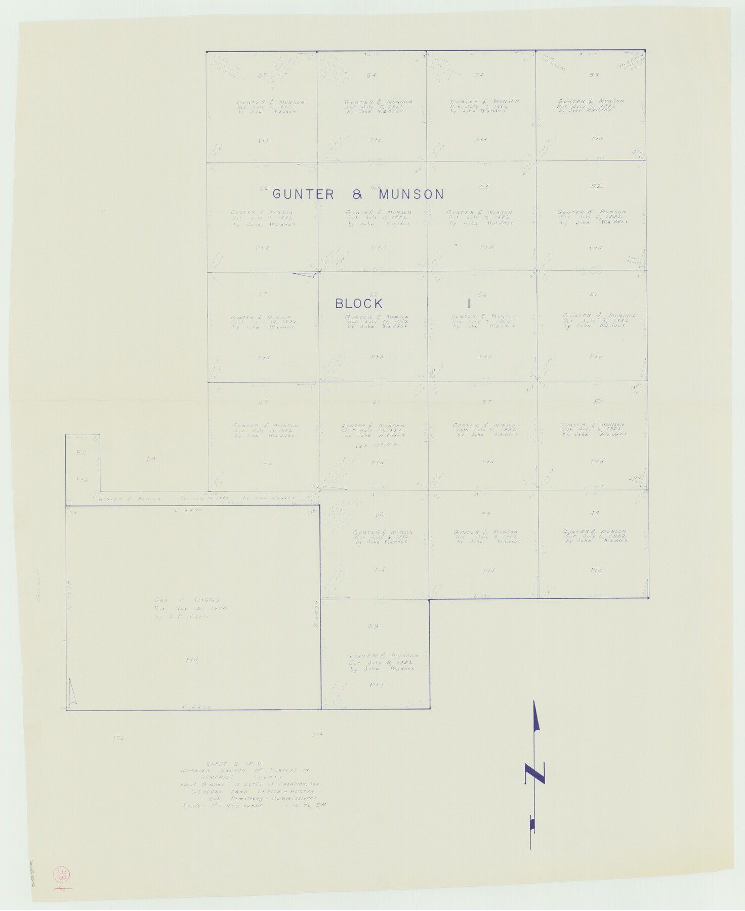
Hemphill County Working Sketch 33
-
Map/Doc
66128
-
Collection
General Map Collection
-
Object Dates
1/16/1976 (Creation Date)
-
People and Organizations
Elbert Menzel (Draftsman)
-
Counties
Hemphill
-
Subjects
Surveying Working Sketch
-
Height x Width
39.6 x 32.3 inches
100.6 x 82.0 cm
-
Scale
1" = 400 varas
Part of: General Map Collection
Williamson County Boundary File 2

Print $40.00
- Digital $50.00
Williamson County Boundary File 2
Size 9.0 x 4.2 inches
Map/Doc 59992
Flight Mission No. BRE-1P, Frame 151, Nueces County

Print $20.00
- Digital $50.00
Flight Mission No. BRE-1P, Frame 151, Nueces County
1956
Size 18.7 x 22.5 inches
Map/Doc 86711
Stephens County Sketch File 12a

Print $23.00
- Digital $50.00
Stephens County Sketch File 12a
Size 18.2 x 11.2 inches
Map/Doc 37061
Hays County Working Sketch 23

Print $20.00
- Digital $50.00
Hays County Working Sketch 23
2011
Size 30.5 x 29.2 inches
Map/Doc 90090
Flight Mission No. DAH-9M, Frame 85, Orange County

Print $20.00
- Digital $50.00
Flight Mission No. DAH-9M, Frame 85, Orange County
1953
Size 18.5 x 22.7 inches
Map/Doc 86849
Llano County Sketch File 15

Print $2.00
- Digital $50.00
Llano County Sketch File 15
Size 10.4 x 7.7 inches
Map/Doc 30391
Dickens County Rolled Sketch 13

Print $40.00
- Digital $50.00
Dickens County Rolled Sketch 13
1950
Size 44.3 x 53.8 inches
Map/Doc 44296
Marion County Sketch File 1a

Print $3.00
- Digital $50.00
Marion County Sketch File 1a
1867
Size 17.4 x 7.7 inches
Map/Doc 30559
Andrews County Rolled Sketch 20

Print $20.00
- Digital $50.00
Andrews County Rolled Sketch 20
Size 31.6 x 40.0 inches
Map/Doc 8395
Marion County Boundary File 2

Print $6.00
- Digital $50.00
Marion County Boundary File 2
Size 11.2 x 8.7 inches
Map/Doc 56818
Stephens County Sketch File 10

Print $4.00
- Digital $50.00
Stephens County Sketch File 10
Size 10.8 x 8.4 inches
Map/Doc 37042
Eastland County Boundary File 26

Print $24.00
- Digital $50.00
Eastland County Boundary File 26
Size 7.8 x 3.5 inches
Map/Doc 52801
You may also like
Map of Somervell County

Print $20.00
- Digital $50.00
Map of Somervell County
1875
Size 21.0 x 22.0 inches
Map/Doc 4043
Gaines County Sketch File 24

Print $6.00
- Digital $50.00
Gaines County Sketch File 24
1995
Size 8.7 x 3.8 inches
Map/Doc 76362
Zavala County Working Sketch 15

Print $20.00
- Digital $50.00
Zavala County Working Sketch 15
1977
Size 27.8 x 23.9 inches
Map/Doc 62090
Surveys in the Milam District at the fork of the Yegua and Brazos Rivers and on the Leon River

Print $2.00
- Digital $50.00
Surveys in the Milam District at the fork of the Yegua and Brazos Rivers and on the Leon River
1846
Size 9.2 x 16.0 inches
Map/Doc 254
Flight Mission No. BQR-7K, Frame 24, Brazoria County

Print $20.00
- Digital $50.00
Flight Mission No. BQR-7K, Frame 24, Brazoria County
1952
Size 18.6 x 22.2 inches
Map/Doc 84022
Flight Mission No. BRA-16M, Frame 95, Jefferson County

Print $20.00
- Digital $50.00
Flight Mission No. BRA-16M, Frame 95, Jefferson County
1953
Size 18.5 x 22.2 inches
Map/Doc 85707
Wheeler County Working Sketch 20

Print $20.00
- Digital $50.00
Wheeler County Working Sketch 20
1989
Size 40.4 x 32.6 inches
Map/Doc 72509
Leon County Sketch File 8

Print $4.00
- Digital $50.00
Leon County Sketch File 8
1862
Size 12.8 x 8.3 inches
Map/Doc 29724
Potter County Boundary File 3b

Print $12.00
- Digital $50.00
Potter County Boundary File 3b
Size 9.8 x 6.4 inches
Map/Doc 57979
Kinney County Working Sketch 8

Print $20.00
- Digital $50.00
Kinney County Working Sketch 8
1913
Size 19.4 x 15.1 inches
Map/Doc 70190
Lamar County State Real Property Sketch 1

Print $20.00
- Digital $50.00
Lamar County State Real Property Sketch 1
2013
Size 24.0 x 36.0 inches
Map/Doc 93660
Flight Mission No. BRA-6M, Frame 92, Jefferson County

Print $20.00
- Digital $50.00
Flight Mission No. BRA-6M, Frame 92, Jefferson County
1953
Size 18.5 x 22.3 inches
Map/Doc 85435