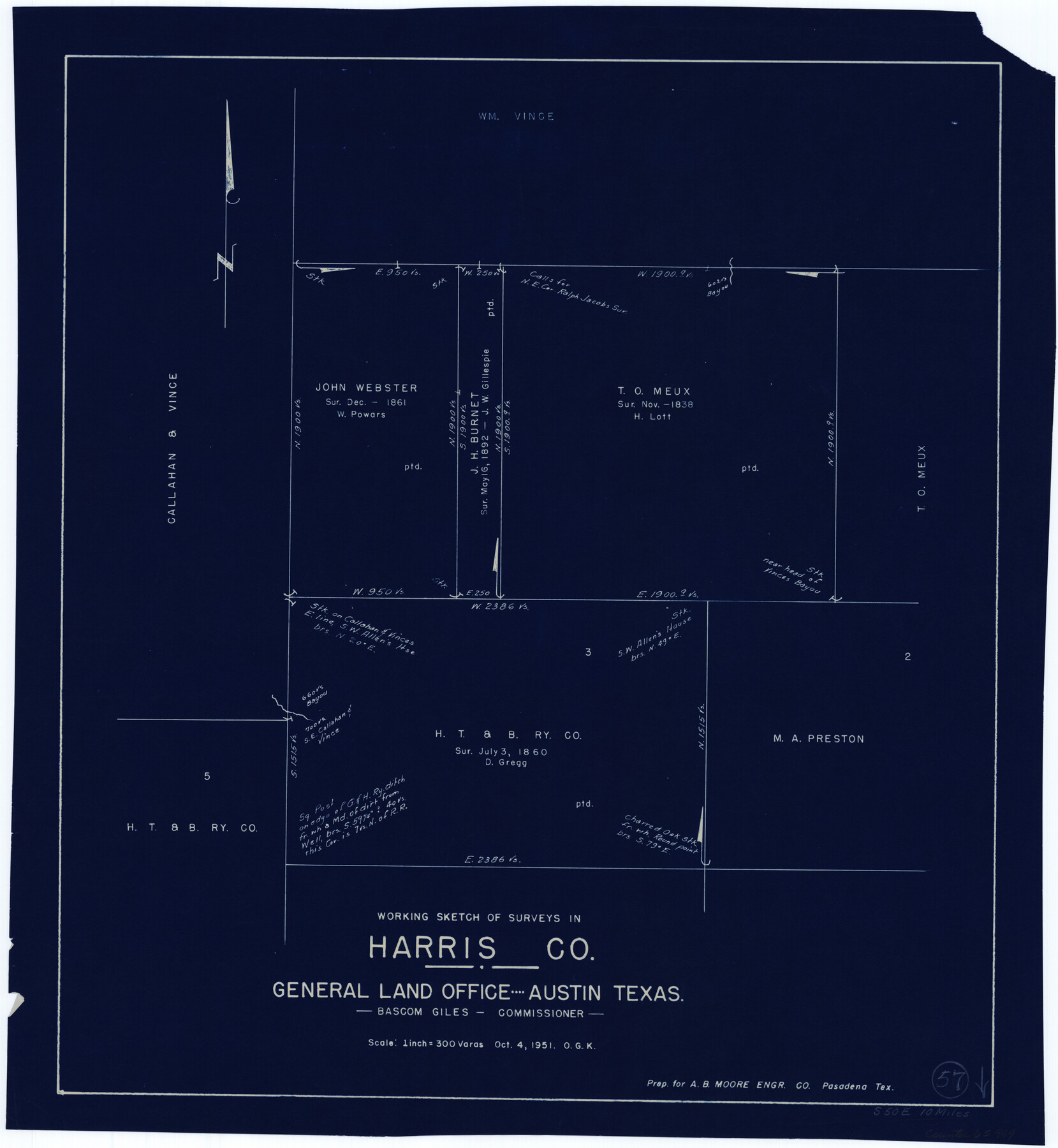
Harris County Working Sketch 57
-
Map/Doc
65949
-
Collection
General Map Collection
-
Object Dates
10/4/1951 (Creation Date)
-
People and Organizations
Otto G. Kurio (Draftsman)
-
Counties
Harris
-
Subjects
Surveying Working Sketch
-
Height x Width
21.7 x 20.0 inches
55.1 x 50.8 cm
-
Scale
1" = 300 varas
Part of: General Map Collection
Map of Harrison County

Print $20.00
- Digital $50.00
Map of Harrison County
1871
Size 18.2 x 19.3 inches
Map/Doc 4561
Tom Green County

Print $40.00
- Digital $50.00
Tom Green County
1942
Size 55.3 x 46.8 inches
Map/Doc 73304
Plat of a survey of the North part of section 16, Block 362, Martha McBride, Presidio County, Texas

Print $4.00
- Digital $50.00
Plat of a survey of the North part of section 16, Block 362, Martha McBride, Presidio County, Texas
1989
Size 24.1 x 29.3 inches
Map/Doc 60520
Duval County Working Sketch 48

Print $20.00
- Digital $50.00
Duval County Working Sketch 48
1981
Size 21.2 x 13.4 inches
Map/Doc 68772
Flight Mission No. CUG-3P, Frame 82, Kleberg County

Print $20.00
- Digital $50.00
Flight Mission No. CUG-3P, Frame 82, Kleberg County
1956
Size 18.6 x 22.2 inches
Map/Doc 86257
Map of Hill County Texas

Print $20.00
- Digital $50.00
Map of Hill County Texas
1886
Size 19.3 x 24.4 inches
Map/Doc 3673
Williamson County Sketch File 16

Print $20.00
- Digital $50.00
Williamson County Sketch File 16
Size 16.8 x 25.5 inches
Map/Doc 12693
Reports of Committees, 23d Congress, 1st Session

Reports of Committees, 23d Congress, 1st Session
Size 9.2 x 6.0 inches
Map/Doc 95690
Donley County Sketch File 20 (6a)

Print $20.00
- Digital $50.00
Donley County Sketch File 20 (6a)
Size 20.1 x 13.1 inches
Map/Doc 11367
La Salle County Rolled Sketch 22

Print $20.00
- Digital $50.00
La Salle County Rolled Sketch 22
1955
Size 31.0 x 30.3 inches
Map/Doc 6585
Kleberg County Rolled Sketch 10-8

Print $20.00
- Digital $50.00
Kleberg County Rolled Sketch 10-8
1951
Size 36.6 x 33.7 inches
Map/Doc 9370
Starr County Rolled Sketch 40

Print $20.00
- Digital $50.00
Starr County Rolled Sketch 40
1961
Size 21.3 x 22.6 inches
Map/Doc 7834
You may also like

Calhoun County Sketch File 14

Print $20.00
- Digital $50.00
Calhoun County Sketch File 14
1852
Size 22.6 x 16.2 inches
Map/Doc 35980
Haskell County Boundary File 1a

Print $40.00
- Digital $50.00
Haskell County Boundary File 1a
Size 34.9 x 38.3 inches
Map/Doc 54536
Duval County Working Sketch 57

Print $20.00
- Digital $50.00
Duval County Working Sketch 57
1990
Size 30.3 x 25.4 inches
Map/Doc 68781
Bailey County Sketch File 2a

Print $6.00
- Digital $50.00
Bailey County Sketch File 2a
1892
Size 13.0 x 8.3 inches
Map/Doc 13935

Young County Working Sketch 7

Print $20.00
- Digital $50.00
Young County Working Sketch 7
1919
Size 24.3 x 19.8 inches
Map/Doc 62030
Crosby County Working Sketch 6

Print $20.00
- Digital $50.00
Crosby County Working Sketch 6
1912
Size 19.4 x 18.0 inches
Map/Doc 68440
Kinney County

Print $40.00
- Digital $50.00
Kinney County
1955
Size 51.9 x 48.2 inches
Map/Doc 95559
Oldham County Sketch File 20

Print $6.00
- Digital $50.00
Oldham County Sketch File 20
1916
Size 11.1 x 8.5 inches
Map/Doc 33275
Harris County Working Sketch 1

Print $20.00
- Digital $50.00
Harris County Working Sketch 1
Size 15.8 x 15.8 inches
Map/Doc 65893
Railroad Track Map, H&TCRRCo., Falls County, Texas

Print $4.00
- Digital $50.00
Railroad Track Map, H&TCRRCo., Falls County, Texas
1918
Size 11.7 x 18.5 inches
Map/Doc 62831