[Sketch for Mineral Application 24072, San Jacinto River]
K-1-40
-
Map/Doc
65600
-
Collection
General Map Collection
-
Object Dates
1929 (Creation Date)
-
Counties
Montgomery
-
Subjects
Energy Offshore Submerged Area
-
Height x Width
25.0 x 18.4 inches
63.5 x 46.7 cm
Part of: General Map Collection
Dimmit County Rolled Sketch 13


Print $20.00
- Digital $50.00
Dimmit County Rolled Sketch 13
1944
Size 17.7 x 26.7 inches
Map/Doc 5722
Jefferson County Rolled Sketch 52
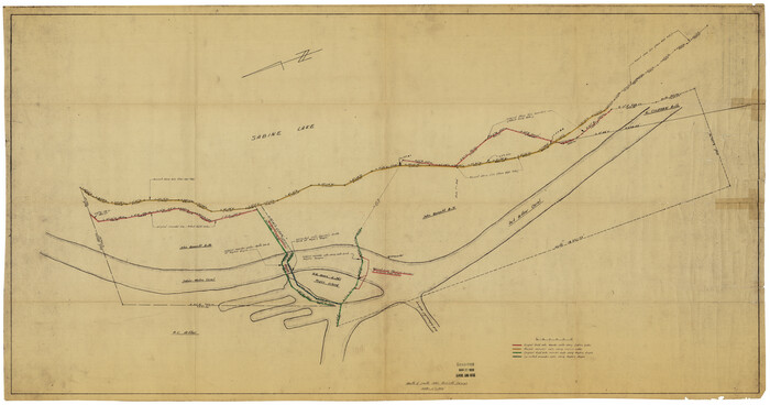

Print $40.00
- Digital $50.00
Jefferson County Rolled Sketch 52
Size 28.2 x 52.9 inches
Map/Doc 9308
Map of Crockett County
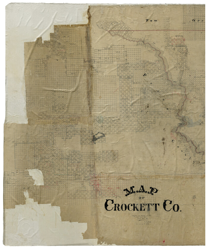

Print $40.00
- Digital $50.00
Map of Crockett County
1878
Size 62.5 x 51.1 inches
Map/Doc 93372
Nueces County Sketch File 13
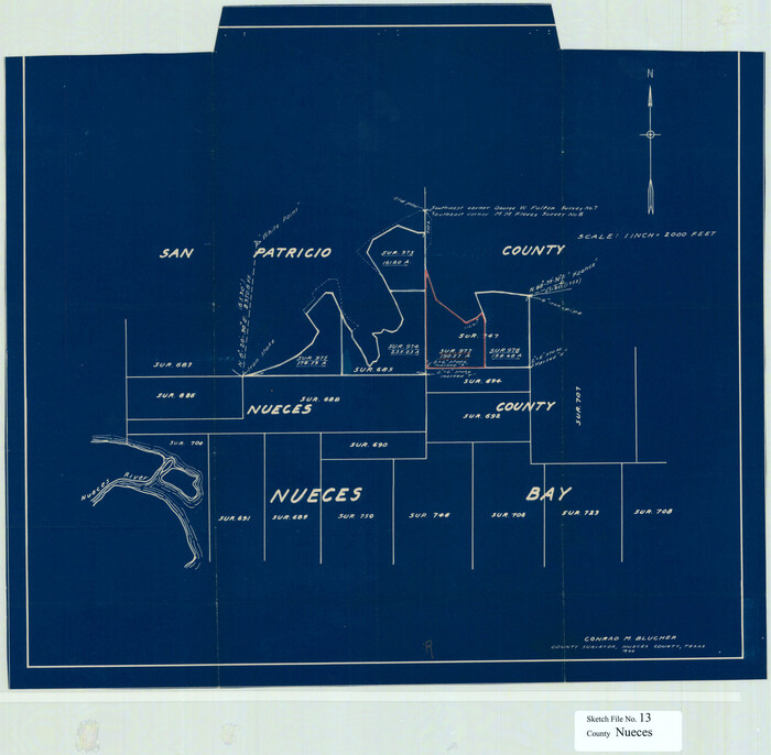

Print $20.00
- Digital $50.00
Nueces County Sketch File 13
1940
Size 18.3 x 18.7 inches
Map/Doc 42178
Galveston County Sketch File 71


Print $59.00
- Digital $50.00
Galveston County Sketch File 71
1994
Size 11.0 x 17.0 inches
Map/Doc 23941
Gaines County Rolled Sketch 35
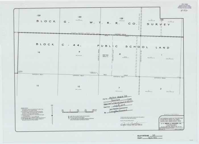

Print $20.00
- Digital $50.00
Gaines County Rolled Sketch 35
2014
Size 18.7 x 25.9 inches
Map/Doc 93695
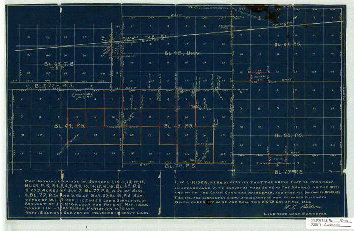
Culberson County Sketch File 10a

Print $20.00
- Digital $50.00
Culberson County Sketch File 10a
1926
Size 11.9 x 18.3 inches
Map/Doc 11264
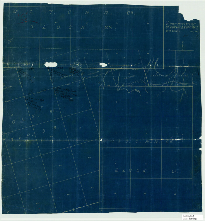
Sterling County Sketch File 8

Print $20.00
- Digital $50.00
Sterling County Sketch File 8
1916
Size 27.2 x 25.2 inches
Map/Doc 12357
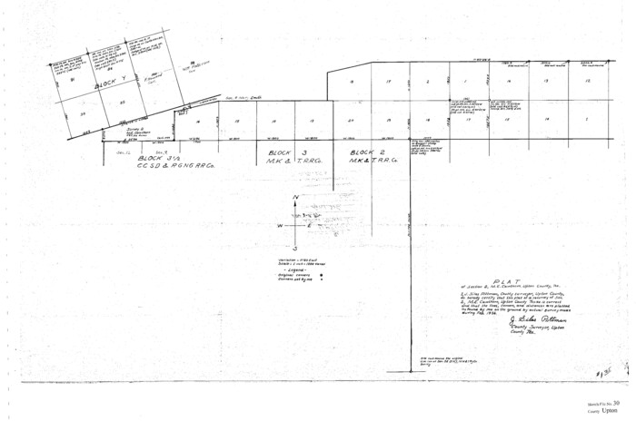
Upton County Sketch File 30

Print $5.00
- Digital $50.00
Upton County Sketch File 30
1887
Size 21.0 x 31.6 inches
Map/Doc 12522
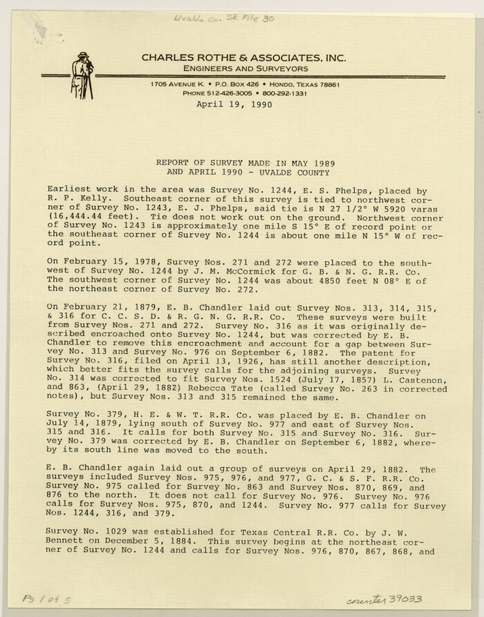
Uvalde County Sketch File 30

Print $12.00
- Digital $50.00
Uvalde County Sketch File 30
1990
Size 4.4 x 9.9 inches
Map/Doc 39032
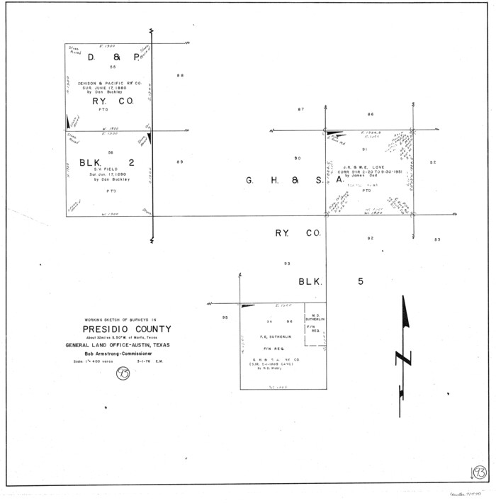
Presidio County Working Sketch 93

Print $20.00
- Digital $50.00
Presidio County Working Sketch 93
1976
Size 27.7 x 27.3 inches
Map/Doc 71770
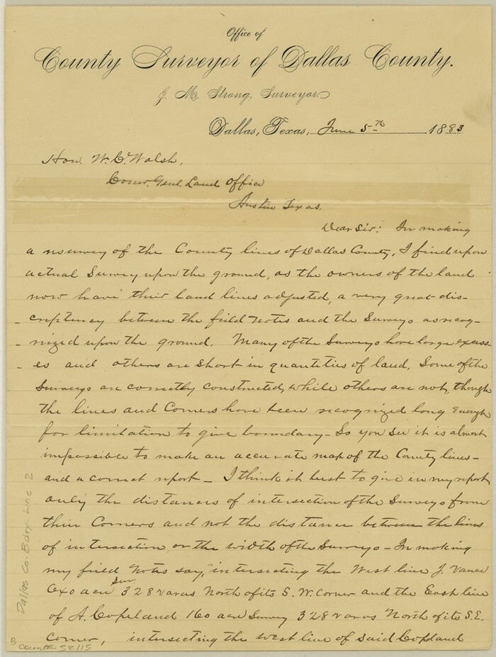
Dallas County Boundary File 2

Print $10.00
- Digital $50.00
Dallas County Boundary File 2
Size 11.2 x 8.4 inches
Map/Doc 52115
You may also like
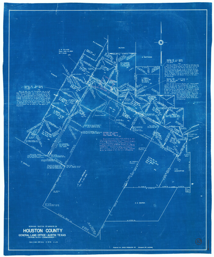
Houston County Working Sketch 10

Print $20.00
- Digital $50.00
Houston County Working Sketch 10
1953
Size 32.7 x 27.3 inches
Map/Doc 66240
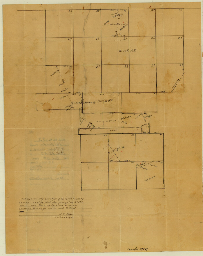
Val Verde County Sketch File 33

Print $40.00
- Digital $50.00
Val Verde County Sketch File 33
Size 17.5 x 13.9 inches
Map/Doc 39249
Knox County Working Sketch 2
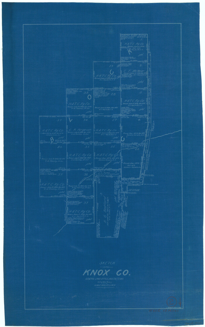

Print $20.00
- Digital $50.00
Knox County Working Sketch 2
1913
Size 22.7 x 14.2 inches
Map/Doc 70244
Van Zandt County


Print $20.00
- Digital $50.00
Van Zandt County
1972
Size 47.0 x 41.8 inches
Map/Doc 73312
Galveston County Rolled Sketch 44
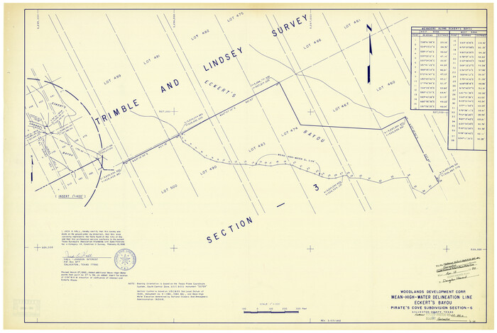

Print $20.00
- Digital $50.00
Galveston County Rolled Sketch 44
1992
Size 25.1 x 37.1 inches
Map/Doc 5978
Hansford County Sketch File 11


Print $6.00
- Digital $50.00
Hansford County Sketch File 11
Size 11.2 x 8.7 inches
Map/Doc 24972
Henderson County Rolled Sketch 11


Print $20.00
- Digital $50.00
Henderson County Rolled Sketch 11
1915
Size 29.3 x 42.6 inches
Map/Doc 75953
Montague County Rolled Sketch R


Print $20.00
- Digital $50.00
Montague County Rolled Sketch R
Size 44.3 x 29.8 inches
Map/Doc 6794
Crockett County Rolled Sketch 56
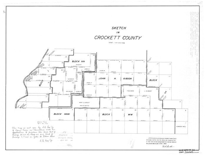

Print $20.00
- Digital $50.00
Crockett County Rolled Sketch 56
1944
Size 24.2 x 31.1 inches
Map/Doc 5599
Map of the country adjacent to the left bank of the Rio Grande below Matamoros
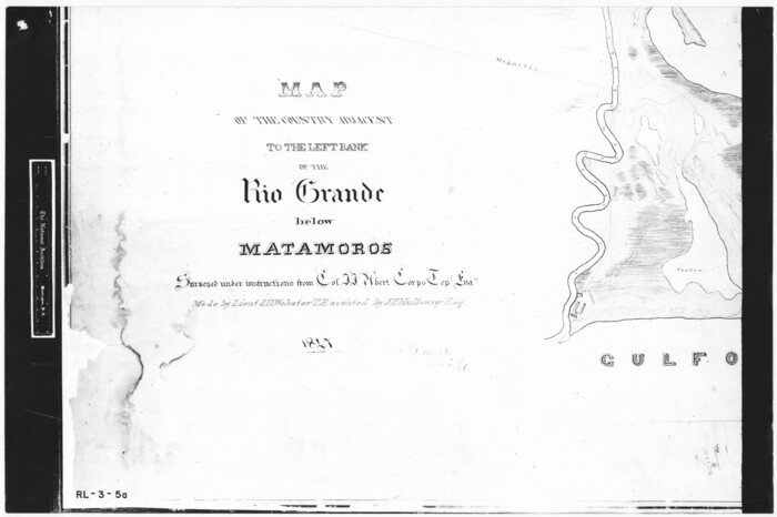

Print $20.00
- Digital $50.00
Map of the country adjacent to the left bank of the Rio Grande below Matamoros
1847
Size 18.3 x 27.5 inches
Map/Doc 72867
Kimble County Sketch File 31


Print $20.00
- Digital $50.00
Kimble County Sketch File 31
1890
Size 26.0 x 24.3 inches
Map/Doc 11929
Loving County Working Sketch 5
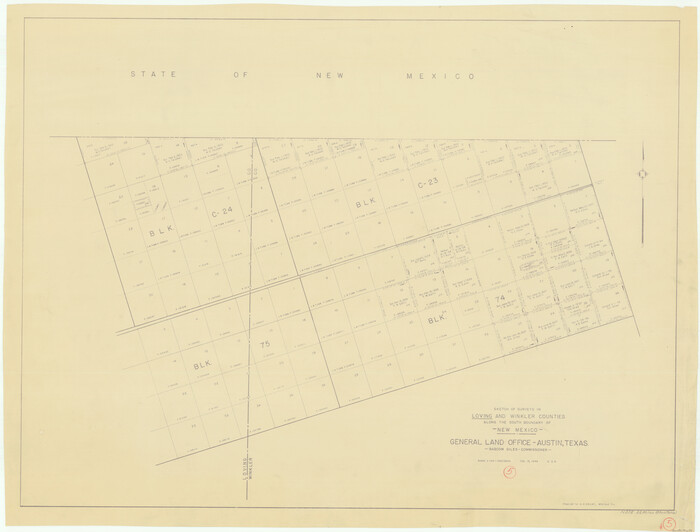

Print $20.00
- Digital $50.00
Loving County Working Sketch 5
1946
Size 29.7 x 39.0 inches
Map/Doc 70637
![65600, [Sketch for Mineral Application 24072, San Jacinto River], General Map Collection](https://historictexasmaps.com/wmedia_w1800h1800/maps/65600.tif.jpg)