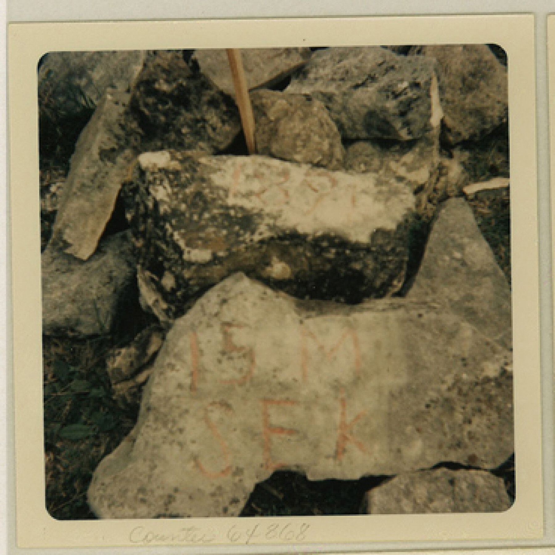
Kimble County Boundary File 4
Photos of monuments
-
Map/Doc
64868
-
Collection
General Map Collection
-
Counties
Kimble
-
Subjects
County Boundaries
-
Height x Width
7.5 x 7.3 inches
19.1 x 18.5 cm
Part of: General Map Collection
Packery Channel

Print $20.00
- Digital $50.00
Packery Channel
1975
Size 26.2 x 21.5 inches
Map/Doc 2991
Presidio County Sketch File 3

Print $6.00
- Digital $50.00
Presidio County Sketch File 3
1941
Size 8.5 x 7.7 inches
Map/Doc 34423
Brewster County Working Sketch 78

Print $20.00
- Digital $50.00
Brewster County Working Sketch 78
1970
Size 31.6 x 44.3 inches
Map/Doc 67678
Wilbarger County Working Sketch 3

Print $20.00
- Digital $50.00
Wilbarger County Working Sketch 3
1923
Size 22.0 x 23.9 inches
Map/Doc 72541
Schleicher County Working Sketch 14

Print $20.00
- Digital $50.00
Schleicher County Working Sketch 14
1928
Size 32.6 x 22.4 inches
Map/Doc 63816
Map of Panola County

Print $20.00
- Digital $50.00
Map of Panola County
1863
Size 19.6 x 19.3 inches
Map/Doc 4503
Irion County Working Sketch 11

Print $20.00
- Digital $50.00
Irion County Working Sketch 11
1959
Size 43.6 x 30.6 inches
Map/Doc 66420
[Sketch for Mineral Application 13439 - Old River, Walle Merritt]
![65689, [Sketch for Mineral Application 13439 - Old River, Walle Merritt], General Map Collection](https://historictexasmaps.com/wmedia_w700/maps/65689-1.tif.jpg)
Print $20.00
- Digital $50.00
[Sketch for Mineral Application 13439 - Old River, Walle Merritt]
1925
Size 41.0 x 19.0 inches
Map/Doc 65689
Pecos County Rolled Sketch 190

Print $20.00
- Digital $50.00
Pecos County Rolled Sketch 190
2005
Size 20.3 x 26.1 inches
Map/Doc 83284
Brewster County Sketch File C

Print $40.00
- Digital $50.00
Brewster County Sketch File C
1911
Size 18.6 x 26.6 inches
Map/Doc 10976
Angelina County Working Sketch 45

Print $20.00
- Digital $50.00
Angelina County Working Sketch 45
1976
Size 25.8 x 29.7 inches
Map/Doc 67128
Carta Agricola

Print $20.00
- Digital $50.00
Carta Agricola
1897
Size 26.0 x 34.3 inches
Map/Doc 96804
You may also like
Jeff Davis County Rolled Sketch 24

Print $20.00
- Digital $50.00
Jeff Davis County Rolled Sketch 24
1953
Size 23.2 x 32.5 inches
Map/Doc 6372
Jefferson County Sketch File 3

Print $8.00
- Digital $50.00
Jefferson County Sketch File 3
1849
Size 8.2 x 7.8 inches
Map/Doc 28097
Flight Mission No. CRC-1R, Frame 93, Chambers County

Print $20.00
- Digital $50.00
Flight Mission No. CRC-1R, Frame 93, Chambers County
1956
Size 18.7 x 22.6 inches
Map/Doc 84708
Harrison County Working Sketch 27

Print $20.00
- Digital $50.00
Harrison County Working Sketch 27
1988
Size 29.2 x 36.9 inches
Map/Doc 66047
Navarro County Sketch File 9

Print $2.00
- Digital $50.00
Navarro County Sketch File 9
Size 8.3 x 9.1 inches
Map/Doc 32317

Eastland County Working Sketch 22

Print $20.00
- Digital $50.00
Eastland County Working Sketch 22
1920
Size 19.9 x 19.2 inches
Map/Doc 68803
Fannin County Rolled Sketch 18D

Print $2.00
- Digital $50.00
Fannin County Rolled Sketch 18D
Size 12.9 x 8.1 inches
Map/Doc 5871
Cottle County Rolled Sketch 5

Print $20.00
- Digital $50.00
Cottle County Rolled Sketch 5
1911
Size 31.0 x 41.1 inches
Map/Doc 8672
West Part Presidio Co.

Print $20.00
- Digital $50.00
West Part Presidio Co.
1974
Size 40.5 x 31.4 inches
Map/Doc 77399
Bowie County Sketch File 9

Print $10.00
- Digital $50.00
Bowie County Sketch File 9
Size 8.1 x 3.9 inches
Map/Doc 14907
[Beaumont, Sour Lake and Western Ry. Right of Way and Alignment - Frisco]
![64132, [Beaumont, Sour Lake and Western Ry. Right of Way and Alignment - Frisco], General Map Collection](https://historictexasmaps.com/wmedia_w700/maps/64132.tif.jpg)
Print $20.00
- Digital $50.00
[Beaumont, Sour Lake and Western Ry. Right of Way and Alignment - Frisco]
1910
Size 19.9 x 46.1 inches
Map/Doc 64132