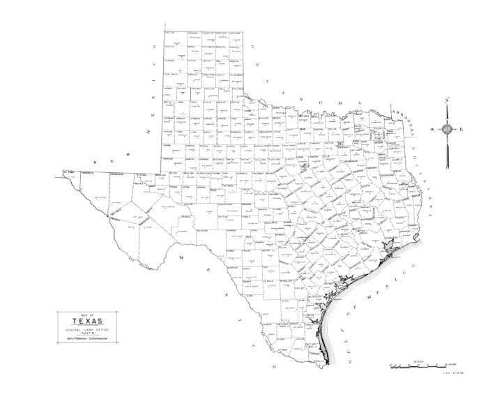
[F. W. & D. C. Ry. Co. Alignment and Right of Way Map, Clay County]
Z-2-203
-
Map/Doc
64745
-
Collection
General Map Collection
-
Object Dates
1927/8/18 (Creation Date)
-
People and Organizations
Office of Engineer Maintenance of Way (Publisher)
-
Counties
Clay Montague
-
Subjects
Railroads
-
Height x Width
18.7 x 11.8 inches
47.5 x 30.0 cm
-
Medium
paper, photocopy
-
Scale
1" = 400 feet
-
Comments
See 64722 through 64744 and 64746 through 64747 for all segments of this map.
-
Features
FW&DC
Part of: General Map Collection
Flight Mission No. BRA-16M, Frame 172, Jefferson County
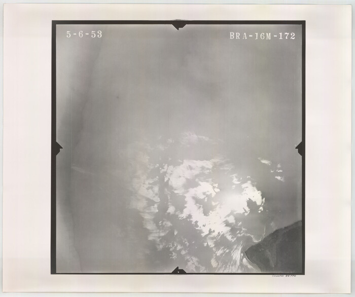

Print $20.00
- Digital $50.00
Flight Mission No. BRA-16M, Frame 172, Jefferson County
1953
Size 18.6 x 22.3 inches
Map/Doc 85770
Flight Mission No. CRE-1R, Frame 129, Jackson County


Print $20.00
- Digital $50.00
Flight Mission No. CRE-1R, Frame 129, Jackson County
1956
Size 18.5 x 22.3 inches
Map/Doc 85337
Trinity River, Sand Lake Sheet
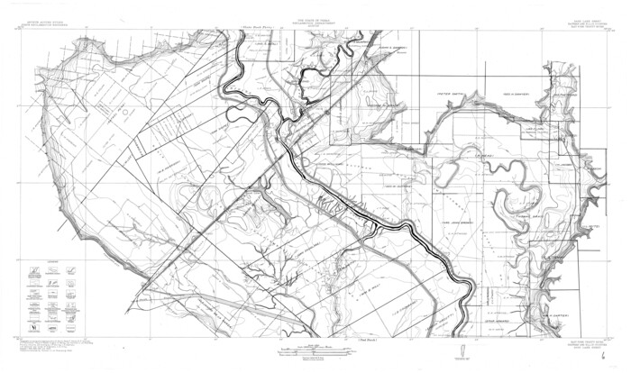

Print $40.00
- Digital $50.00
Trinity River, Sand Lake Sheet
1922
Size 29.4 x 49.7 inches
Map/Doc 65184
Map of Mexico, Guatimala and the West Indies (Inset: Map of the Country between the cities of Mexico and Vera Cruz)
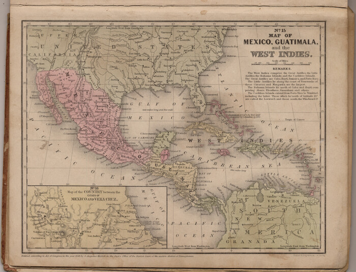

Print $20.00
- Digital $50.00
Map of Mexico, Guatimala and the West Indies (Inset: Map of the Country between the cities of Mexico and Vera Cruz)
1849
Size 9.5 x 11.8 inches
Map/Doc 93500
Presidio County Rolled Sketch 83A
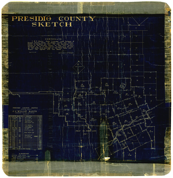

Print $20.00
- Digital $50.00
Presidio County Rolled Sketch 83A
1930
Size 28.2 x 27.6 inches
Map/Doc 7370
Cass County Working Sketch 46
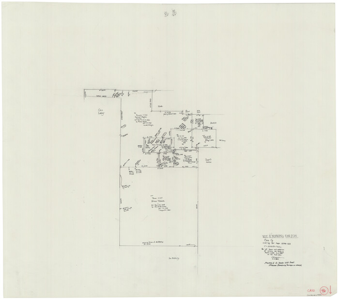

Print $20.00
- Digital $50.00
Cass County Working Sketch 46
1989
Size 26.8 x 30.6 inches
Map/Doc 67949
Rains County Sketch File 1

Print $6.00
- Digital $50.00
Rains County Sketch File 1
Size 5.9 x 9.1 inches
Map/Doc 34942
Coleman County Sketch File A2
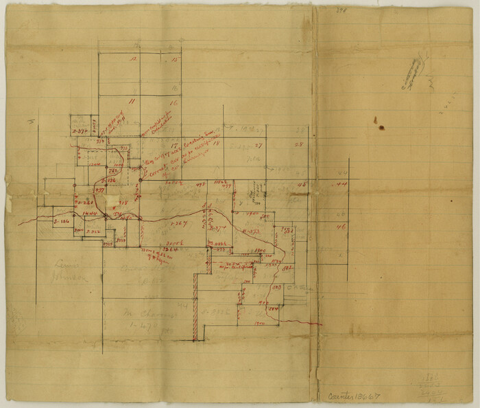

Print $5.00
- Digital $50.00
Coleman County Sketch File A2
1879
Size 9.2 x 10.8 inches
Map/Doc 18667
Flight Mission No. CRE-1R, Frame 134, Jackson County


Print $20.00
- Digital $50.00
Flight Mission No. CRE-1R, Frame 134, Jackson County
1956
Size 16.2 x 16.0 inches
Map/Doc 85342
Henderson County Sketch File 19
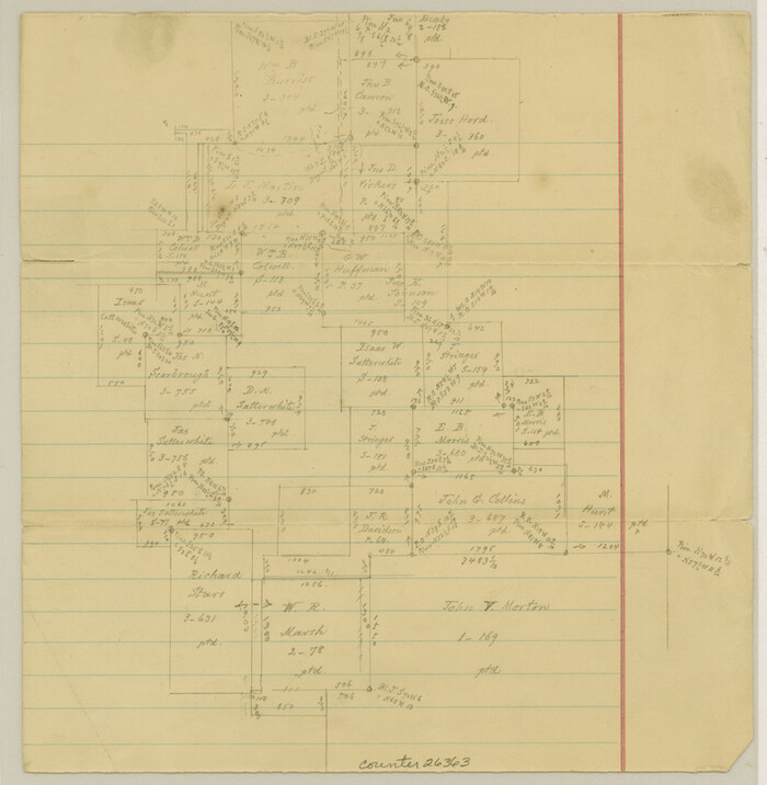

Print $4.00
- Digital $50.00
Henderson County Sketch File 19
Size 9.1 x 8.9 inches
Map/Doc 26363
Coryell County Sketch File 15
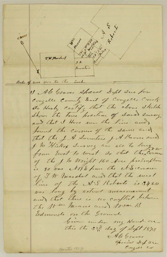

Print $4.00
- Digital $50.00
Coryell County Sketch File 15
1873
Size 13.0 x 8.5 inches
Map/Doc 19371
You may also like
Liberty County Working Sketch 51
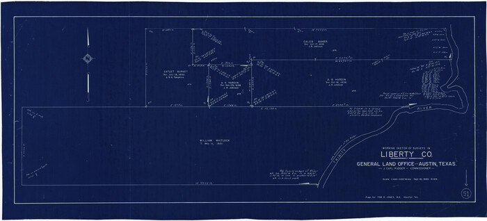

Print $20.00
- Digital $50.00
Liberty County Working Sketch 51
1955
Size 17.5 x 38.5 inches
Map/Doc 70511
Hutchinson County Sketch File 49


Print $30.00
- Digital $50.00
Hutchinson County Sketch File 49
1992
Size 14.2 x 8.6 inches
Map/Doc 27419
Terrell County Sketch File 42
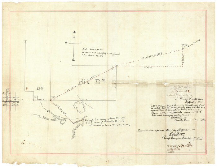

Print $20.00
- Digital $50.00
Terrell County Sketch File 42
1885
Map/Doc 97199
Calhoun County Working Sketch 2b
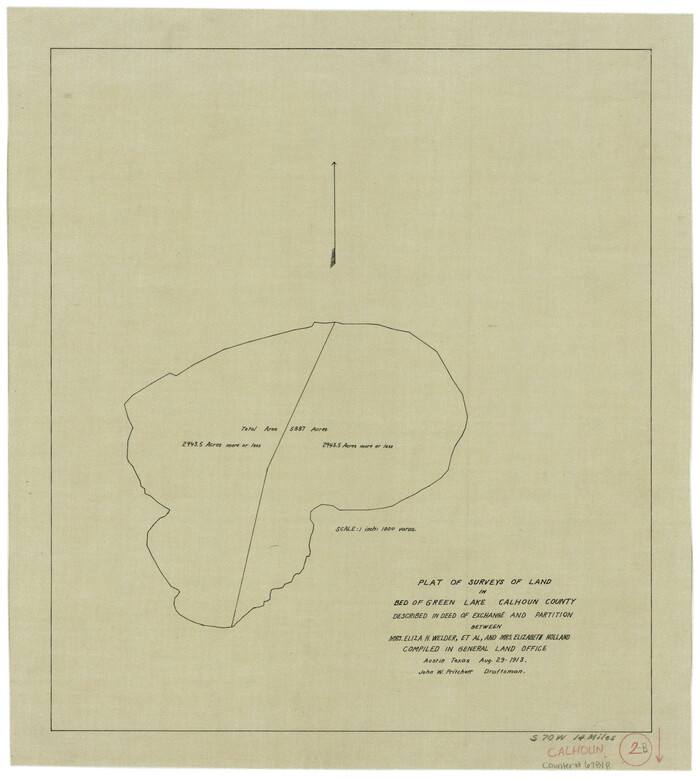

Print $20.00
- Digital $50.00
Calhoun County Working Sketch 2b
1913
Size 17.3 x 15.8 inches
Map/Doc 67818
Floyd County Rolled Sketch 9


Print $323.00
- Digital $50.00
Floyd County Rolled Sketch 9
1953
Size 10.0 x 15.7 inches
Map/Doc 44564
Shackelford County Boundary File 2


Print $88.00
- Digital $50.00
Shackelford County Boundary File 2
Size 8.7 x 5.3 inches
Map/Doc 58633
The Republic County of Nacogdoches. Spring 1842


Print $20.00
The Republic County of Nacogdoches. Spring 1842
2020
Size 15.9 x 21.8 inches
Map/Doc 96248
Anderson County Working Sketch 16
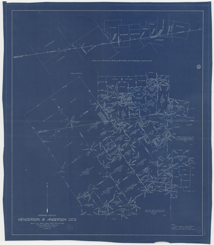

Print $20.00
- Digital $50.00
Anderson County Working Sketch 16
1938
Size 42.4 x 37.1 inches
Map/Doc 67016
Duval County Rolled Sketch 35


Print $20.00
- Digital $50.00
Duval County Rolled Sketch 35
1951
Size 23.5 x 17.0 inches
Map/Doc 5750
Liberty County Rolled Sketch D


Print $42.00
- Digital $50.00
Liberty County Rolled Sketch D
1942
Size 28.4 x 30.1 inches
Map/Doc 9572
Map of Dawson County
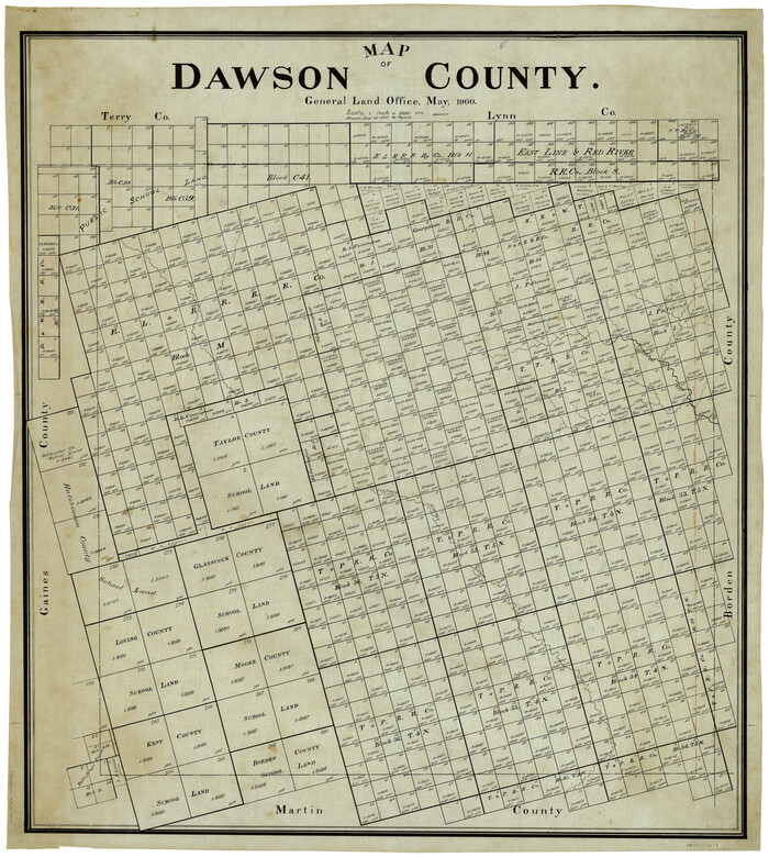

Print $20.00
- Digital $50.00
Map of Dawson County
1900
Size 40.0 x 36.5 inches
Map/Doc 4929
Harris County Historic Topographic 3
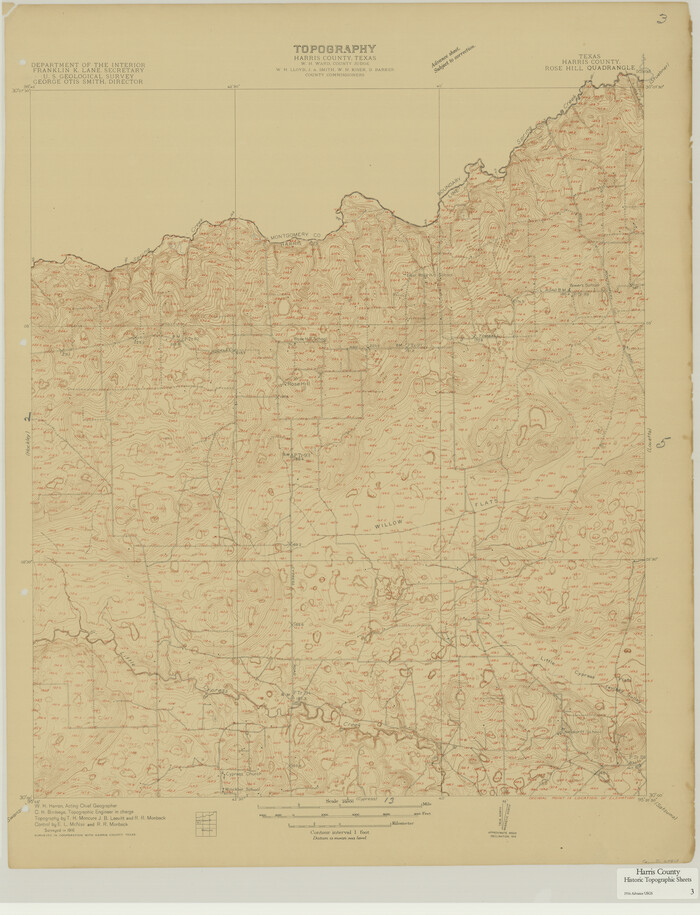

Print $20.00
- Digital $50.00
Harris County Historic Topographic 3
1916
Size 29.4 x 22.5 inches
Map/Doc 65813
![64745, [F. W. & D. C. Ry. Co. Alignment and Right of Way Map, Clay County], General Map Collection](https://historictexasmaps.com/wmedia_w1800h1800/maps/64745-GC.tif.jpg)
