[Map of the Houston and Great Northern R. R. from Trinity River to Palestine]
Z-2-170
-
Map/Doc
64550
-
Collection
General Map Collection
-
Object Dates
1872/11/13 (File Date)
1872/11/1 (Creation Date)
-
People and Organizations
C. C. Stremme (Draftsman)
-
Counties
Anderson
-
Subjects
Railroads
-
Height x Width
30.0 x 88.0 inches
76.2 x 223.5 cm
-
Medium
paper, manuscript
-
Scale
1" = 2000 feet
-
Comments
Segment 2; see counter no. 64549 for segment 1.
-
Features
H&GN
MK&T
Palestine
IRRC
Crist Creek
Box Creek
Elkhart Creek
Hurricane Bayou
Part of: General Map Collection
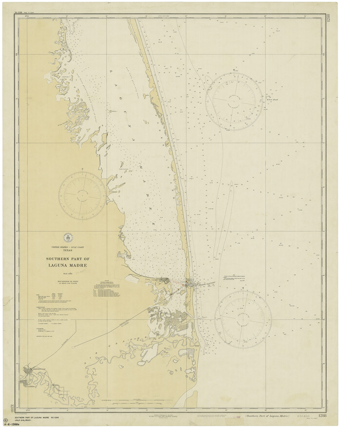
Southern Part of Laguna Madre

Print $20.00
- Digital $50.00
Southern Part of Laguna Madre
1936
Size 44.0 x 35.3 inches
Map/Doc 73533
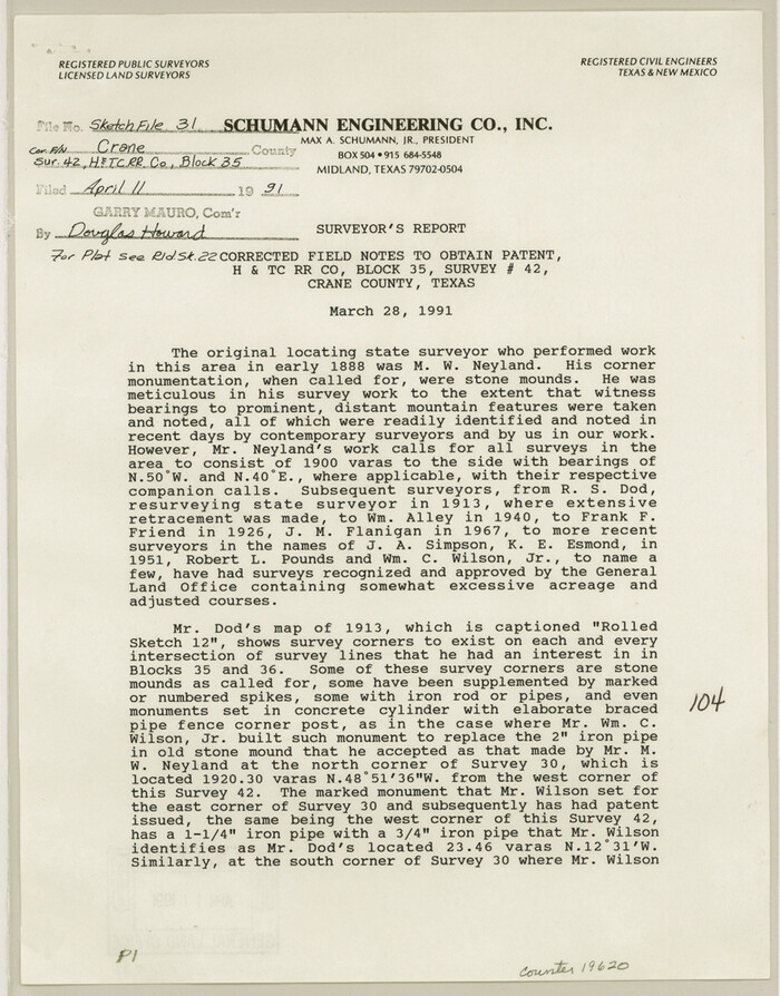
Crane County Sketch File 31

Print $8.00
- Digital $50.00
Crane County Sketch File 31
1991
Size 11.3 x 8.9 inches
Map/Doc 19620
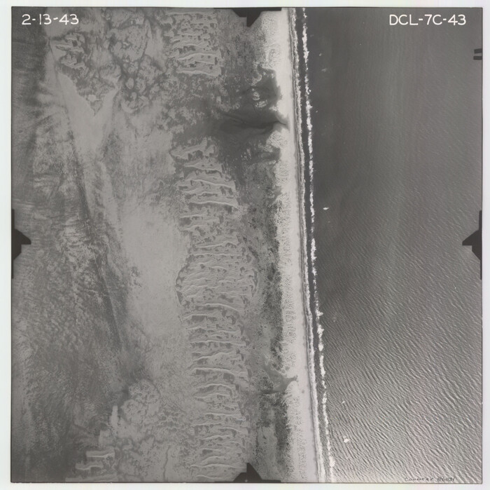
Flight Mission No. DCL-7C, Frame 43, Kenedy County

Print $20.00
- Digital $50.00
Flight Mission No. DCL-7C, Frame 43, Kenedy County
1943
Size 15.5 x 15.5 inches
Map/Doc 86031
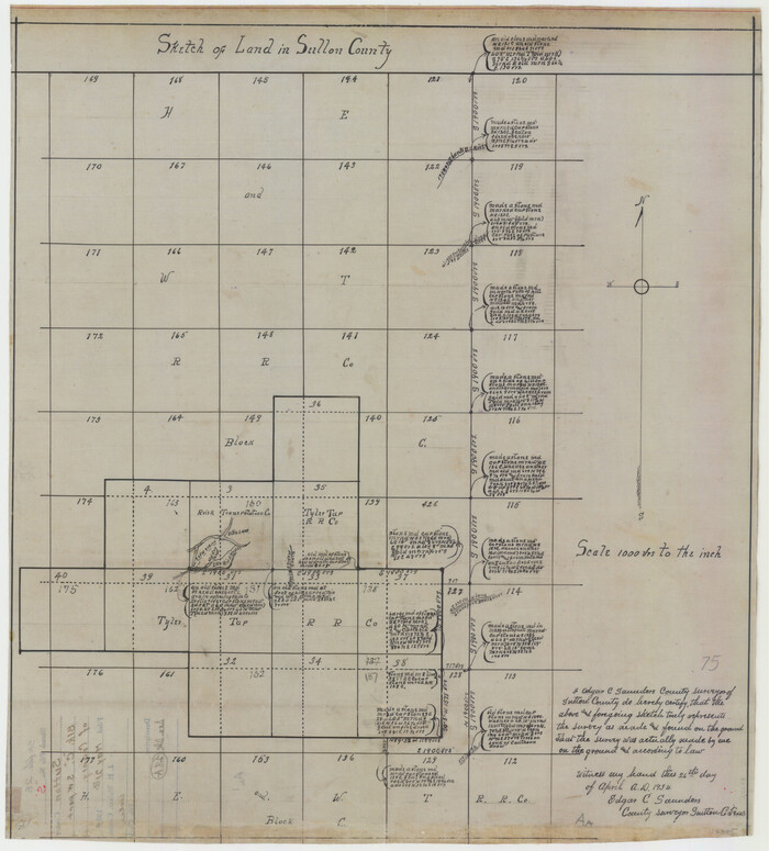
Sutton County Sketch File 28

Print $46.00
- Digital $50.00
Sutton County Sketch File 28
1934
Size 37.2 x 17.9 inches
Map/Doc 12385
Duval County Boundary File 2
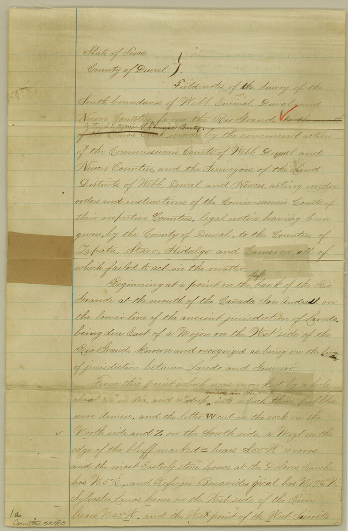

Print $32.00
- Digital $50.00
Duval County Boundary File 2
Size 12.4 x 8.1 inches
Map/Doc 52703
Bowie County Working Sketch 29
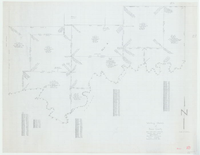

Print $20.00
- Digital $50.00
Bowie County Working Sketch 29
1991
Size 36.9 x 47.7 inches
Map/Doc 67433
Starr County Boundary File 99
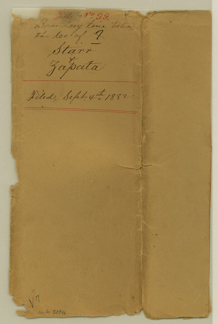

Print $56.00
- Digital $50.00
Starr County Boundary File 99
Size 9.2 x 6.2 inches
Map/Doc 58846
Jasper County Rolled Sketch 5
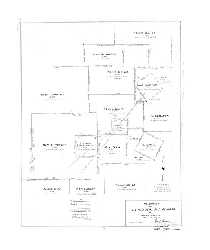

Print $20.00
- Digital $50.00
Jasper County Rolled Sketch 5
1948
Size 29.0 x 24.4 inches
Map/Doc 6352
Borden County Sketch File 10b
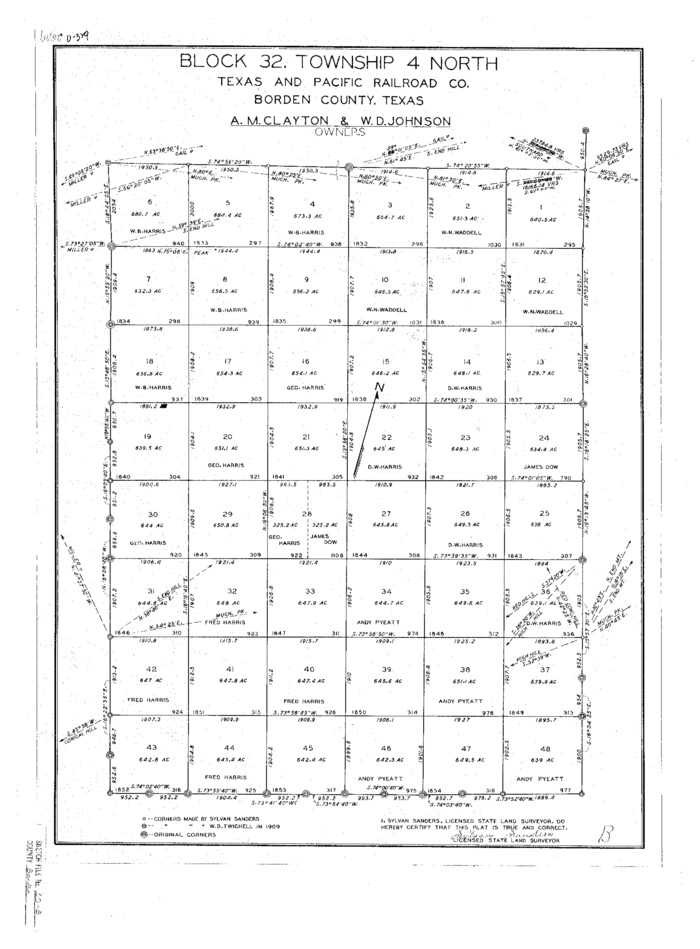

Print $40.00
- Digital $50.00
Borden County Sketch File 10b
Size 23.0 x 17.0 inches
Map/Doc 10936
Culberson County Sketch File 22


Print $6.00
- Digital $50.00
Culberson County Sketch File 22
1934
Size 11.8 x 8.8 inches
Map/Doc 20234
You may also like
Angelina County Working Sketch 22a


Print $20.00
- Digital $50.00
Angelina County Working Sketch 22a
1953
Size 22.3 x 20.1 inches
Map/Doc 67103
Medina County Sketch File 22


Print $38.00
- Digital $50.00
Medina County Sketch File 22
2007
Size 11.0 x 8.5 inches
Map/Doc 93633
Mason County Working Sketch 6


Print $20.00
- Digital $50.00
Mason County Working Sketch 6
1940
Size 17.9 x 11.1 inches
Map/Doc 70842
Austin including Bergstrom AFB, Hays, Mansfield Dam, McKinney Falls State Park, Oak Hill, Rollingwood, San Leanna, Sunset Valley and West Lake Hills - also portions of Pflugerville


Austin including Bergstrom AFB, Hays, Mansfield Dam, McKinney Falls State Park, Oak Hill, Rollingwood, San Leanna, Sunset Valley and West Lake Hills - also portions of Pflugerville
Size 38.5 x 25.6 inches
Map/Doc 94376
Working Sketch of Central State Prison Farm, Fort Bend Co., Texas
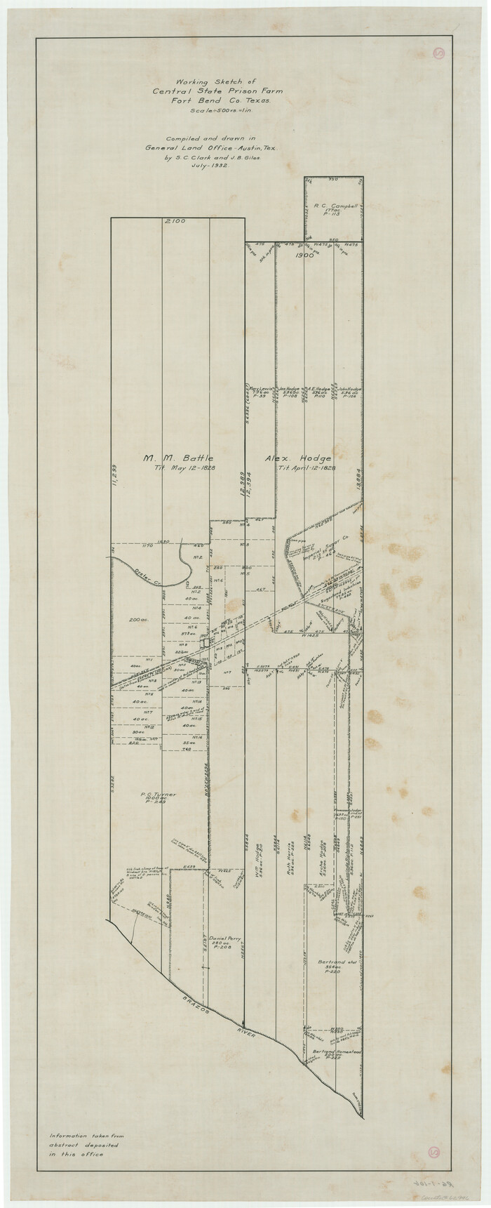

Print $20.00
- Digital $50.00
Working Sketch of Central State Prison Farm, Fort Bend Co., Texas
Size 38.9 x 16.0 inches
Map/Doc 62996
[H. & T. C. RR. Company, Block 47]
![91150, [H. & T. C. RR. Company, Block 47], Twichell Survey Records](https://historictexasmaps.com/wmedia_w700/maps/91150-1.tif.jpg)
![91150, [H. & T. C. RR. Company, Block 47], Twichell Survey Records](https://historictexasmaps.com/wmedia_w700/maps/91150-1.tif.jpg)
Print $20.00
- Digital $50.00
[H. & T. C. RR. Company, Block 47]
1874
Size 20.4 x 12.5 inches
Map/Doc 91150
Bee County Working Sketch 18
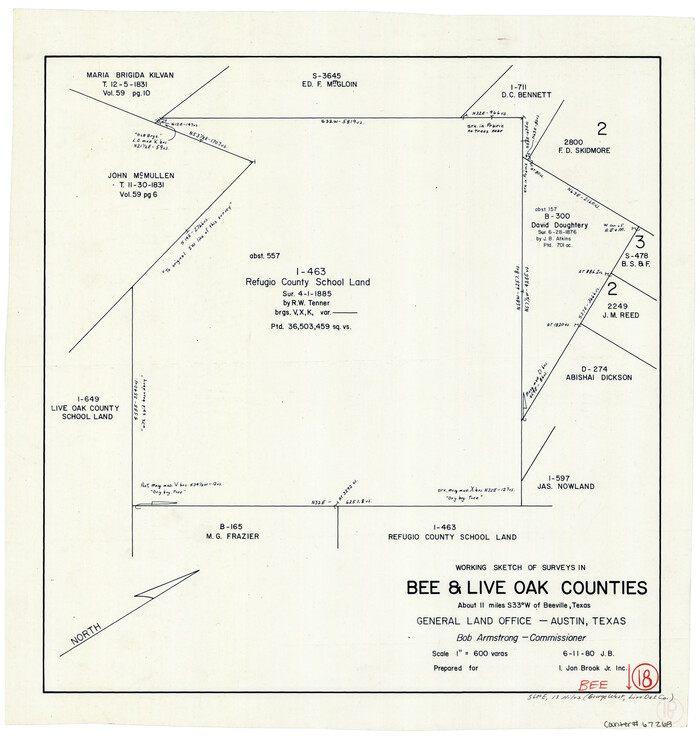

Print $20.00
- Digital $50.00
Bee County Working Sketch 18
1980
Size 19.5 x 18.5 inches
Map/Doc 67268
Gaines County


Print $20.00
- Digital $50.00
Gaines County
1956
Size 32.2 x 40.6 inches
Map/Doc 77286
Morris County Sketch File 4

Print $4.00
- Digital $50.00
Morris County Sketch File 4
1910
Size 8.3 x 8.6 inches
Map/Doc 31968
Cass County Working Sketch 48

Print $20.00
- Digital $50.00
Cass County Working Sketch 48
1992
Size 21.3 x 36.4 inches
Map/Doc 67951
![64550, [Map of the Houston and Great Northern R. R. from Trinity River to Palestine], General Map Collection](https://historictexasmaps.com/wmedia_w1800h1800/maps/64550.tif.jpg)
