[Map of Chicago, Rock Island & Texas Railway through Tarrant County, Texas]
Z-2-104
-
Map/Doc
64412
-
Collection
General Map Collection
-
Object Dates
1893/4/24 (Creation Date)
-
Counties
Tarrant
-
Subjects
Railroads
-
Height x Width
22.9 x 122.0 inches
58.2 x 309.9 cm
-
Medium
linen, manuscript
-
Scale
1 inch = 400 feet
-
Comments
Segment 1; see counter nos. 64413 and 64414 for other segments.
-
Features
Weatherford Street
Slaughter Pens
Packing House
Ice House
4th Street
3rd Street
2nd Street
1st Street
Liveoak Street
Wilderman Street
Hampton Street
Harding Street
Belknap Street
Flint Street
Peac Street
Williams Street
MK&T
Cravel Road
Oakland Avenue
FW&DC
Saginaw
Hays Street
Morgan Street
Sycamore Creek
T&P
Trinity River
Chambers Branch of Trinity River
Luella Street
Pecos Street
Colorado Street
Brazos Street
Trinity Street
Darnel Street
CRI&T
Pecan Street
Crump Street
Elm Street
10th Street
9th Street
8th Street
7th Street
6th Street
5th Street
Part of: General Map Collection
Runnels County Rolled Sketch 38


Print $20.00
- Digital $50.00
Runnels County Rolled Sketch 38
1950
Size 33.9 x 46.6 inches
Map/Doc 7524
[Sketch for Mineral Application 19144 - Pecos River Bed]
![65574, [Sketch for Mineral Application 19144 - Pecos River Bed], General Map Collection](https://historictexasmaps.com/wmedia_w700/maps/65574.tif.jpg)
![65574, [Sketch for Mineral Application 19144 - Pecos River Bed], General Map Collection](https://historictexasmaps.com/wmedia_w700/maps/65574.tif.jpg)
Print $20.00
- Digital $50.00
[Sketch for Mineral Application 19144 - Pecos River Bed]
1927
Size 46.2 x 45.1 inches
Map/Doc 65574
Go Turnpike! Dallas-Fort Worth Turnpike (Recto)
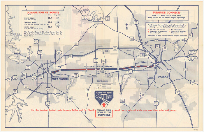

Go Turnpike! Dallas-Fort Worth Turnpike (Recto)
1963
Size 11.2 x 17.2 inches
Map/Doc 94177
Flight Mission No. DAG-24K, Frame 138, Matagorda County


Print $20.00
- Digital $50.00
Flight Mission No. DAG-24K, Frame 138, Matagorda County
1953
Size 18.4 x 15.8 inches
Map/Doc 86556
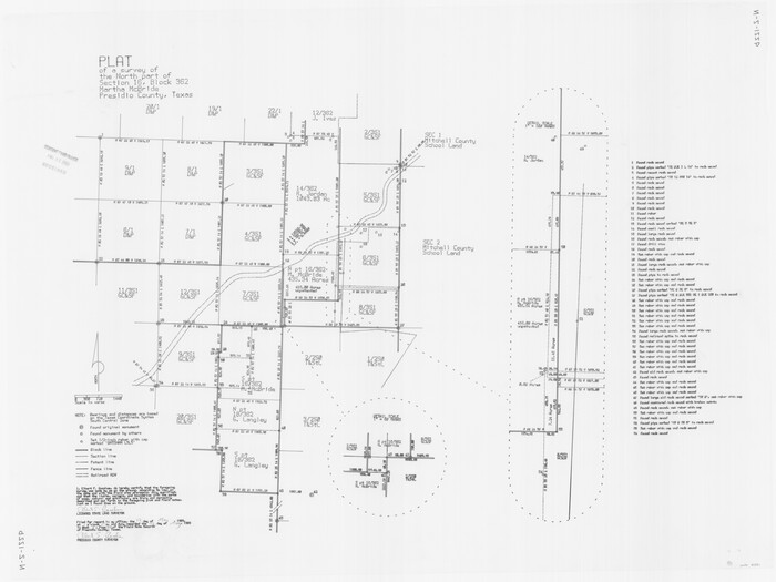
Plat of a survey of the North part of section 16, Block 362, Martha McBride, Presidio County, Texas

Print $6.00
- Digital $50.00
Plat of a survey of the North part of section 16, Block 362, Martha McBride, Presidio County, Texas
1989
Size 25.5 x 35.0 inches
Map/Doc 60521
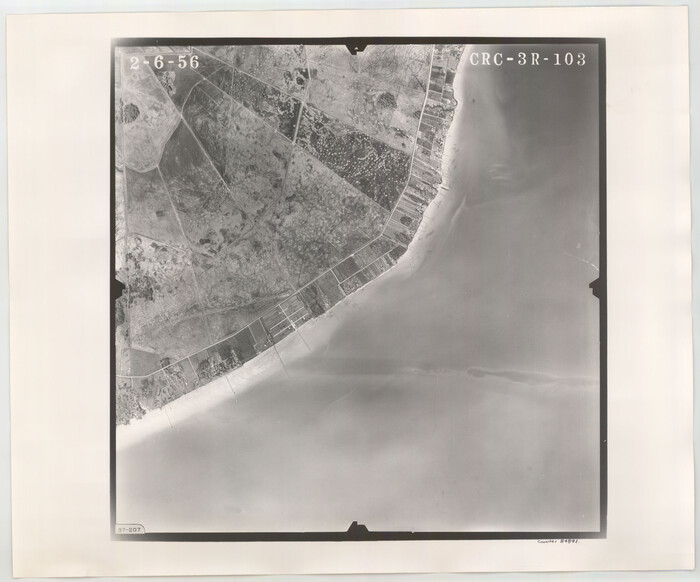
Flight Mission No. CRC-3R, Frame 103, Chambers County

Print $20.00
- Digital $50.00
Flight Mission No. CRC-3R, Frame 103, Chambers County
1956
Size 18.7 x 22.4 inches
Map/Doc 84841
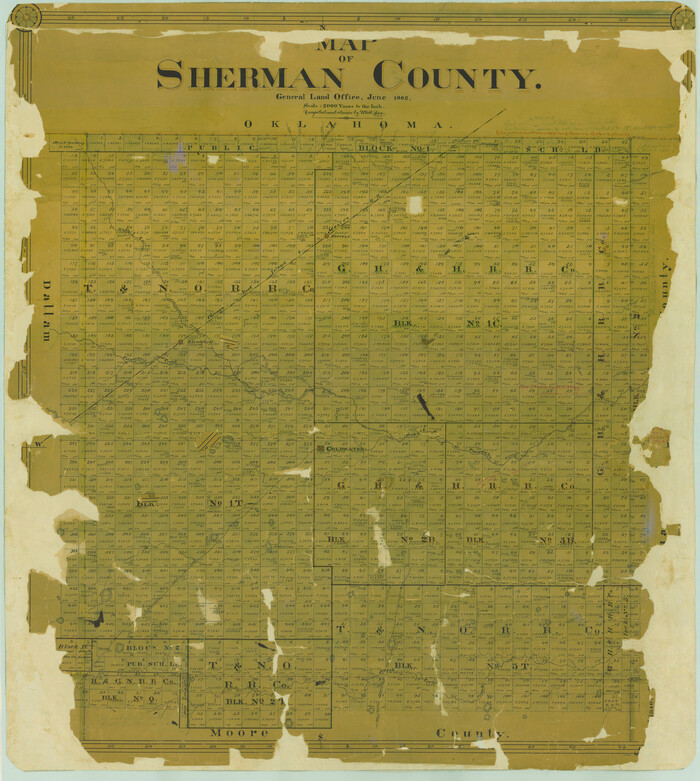
Map of Sherman County

Print $20.00
- Digital $50.00
Map of Sherman County
1902
Size 40.9 x 36.6 inches
Map/Doc 16815
Flight Mission No. BRE-1P, Frame 75, Nueces County


Print $20.00
- Digital $50.00
Flight Mission No. BRE-1P, Frame 75, Nueces County
1956
Size 18.4 x 22.2 inches
Map/Doc 86657
Flight Mission No. CRC-5R, Frame 32, Chambers County
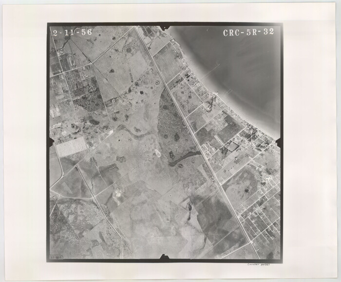

Print $20.00
- Digital $50.00
Flight Mission No. CRC-5R, Frame 32, Chambers County
1956
Size 18.5 x 22.4 inches
Map/Doc 84951
Parker County Sketch File 36
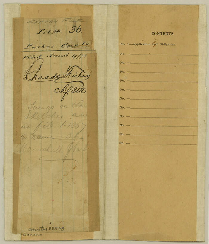

Print $7.00
- Digital $50.00
Parker County Sketch File 36
Size 9.1 x 7.8 inches
Map/Doc 33578
Nueva Hispania Tabula Nova
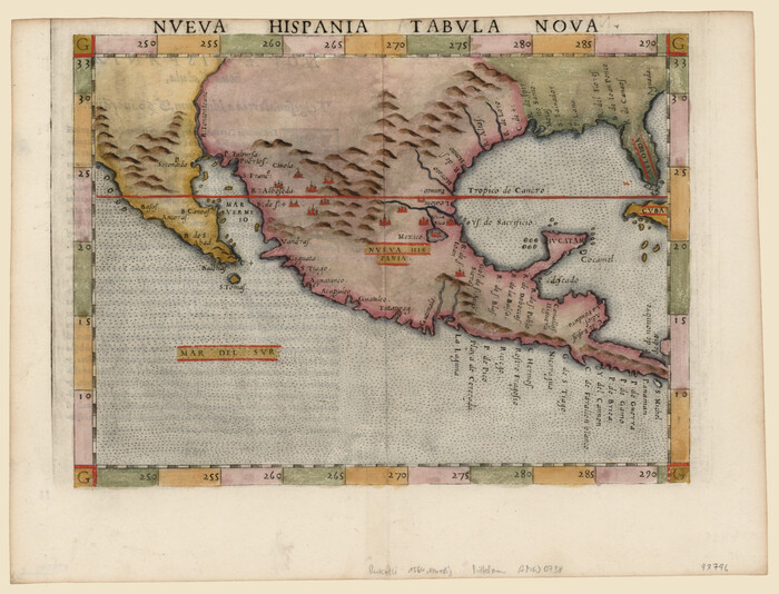

Print $20.00
- Digital $50.00
Nueva Hispania Tabula Nova
1561
Size 9.4 x 12.3 inches
Map/Doc 93796
Flight Mission No. CRC-4R, Frame 159, Chambers County


Print $20.00
- Digital $50.00
Flight Mission No. CRC-4R, Frame 159, Chambers County
1956
Size 18.6 x 22.2 inches
Map/Doc 84918
You may also like
Montague County Working Sketch 3
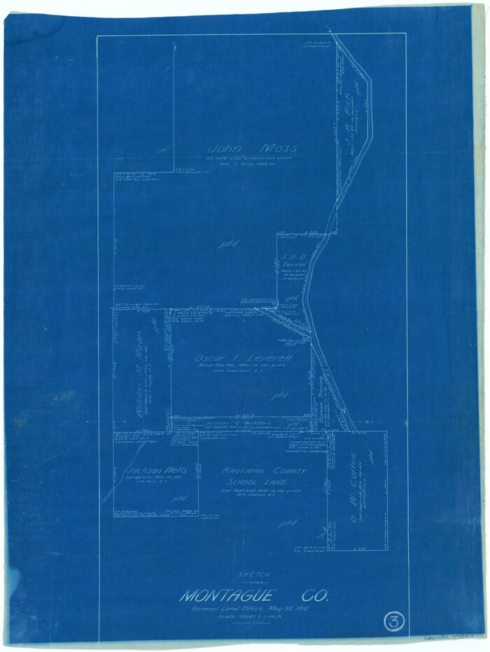

Print $20.00
- Digital $50.00
Montague County Working Sketch 3
1912
Size 20.5 x 15.4 inches
Map/Doc 71069
Houston & Texas Central Railway Through Bastrop County


Print $40.00
- Digital $50.00
Houston & Texas Central Railway Through Bastrop County
1916
Size 21.3 x 116.5 inches
Map/Doc 64418
Terrell County Sketch File 42

Print $20.00
- Digital $50.00
Terrell County Sketch File 42
1885
Map/Doc 97199
Bastrop County Rolled Sketch 5

Print $20.00
- Digital $50.00
Bastrop County Rolled Sketch 5
2013
Size 24.9 x 36.9 inches
Map/Doc 93715
Map of Dewitt County, Texas

Print $20.00
- Digital $50.00
Map of Dewitt County, Texas
Size 22.8 x 27.6 inches
Map/Doc 706
Survey of Lots 1, 2, 3, 4 and 5, Block 12G Fair View Park, Austin Texas

Print $20.00
- Digital $50.00
Survey of Lots 1, 2, 3, 4 and 5, Block 12G Fair View Park, Austin Texas
1914
Size 10.7 x 22.8 inches
Map/Doc 472
Winkler County Rolled Sketch 12
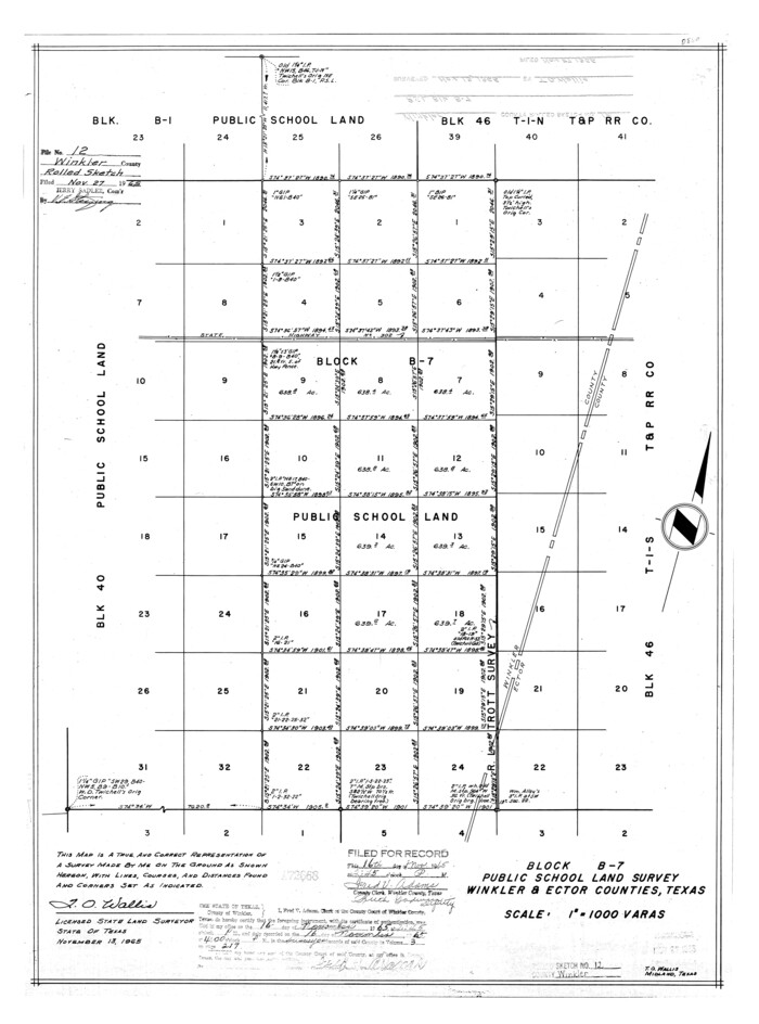

Print $20.00
- Digital $50.00
Winkler County Rolled Sketch 12
1965
Size 24.9 x 18.5 inches
Map/Doc 8279
Leon County Sketch File 6
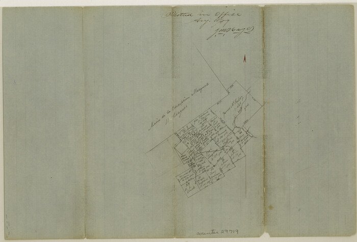

Print $4.00
- Digital $50.00
Leon County Sketch File 6
1859
Size 8.2 x 12.0 inches
Map/Doc 29719
San Augustine County Working Sketch 28
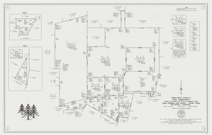

Print $20.00
- Digital $50.00
San Augustine County Working Sketch 28
2011
Size 23.4 x 36.7 inches
Map/Doc 90091
Atascosa County


Print $20.00
- Digital $50.00
Atascosa County
1862
Size 29.8 x 25.2 inches
Map/Doc 3248
Comanche County Working Sketch 6
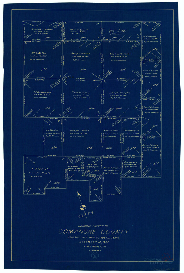

Print $20.00
- Digital $50.00
Comanche County Working Sketch 6
1935
Size 26.4 x 17.8 inches
Map/Doc 68140
[Sketch for Mineral Application 33721 - 33725 Incl. - Padre and Mustang Island]
![2869, [Sketch for Mineral Application 33721 - 33725 Incl. - Padre and Mustang Island], General Map Collection](https://historictexasmaps.com/wmedia_w700/maps/2869.tif.jpg)
![2869, [Sketch for Mineral Application 33721 - 33725 Incl. - Padre and Mustang Island], General Map Collection](https://historictexasmaps.com/wmedia_w700/maps/2869.tif.jpg)
Print $20.00
- Digital $50.00
[Sketch for Mineral Application 33721 - 33725 Incl. - Padre and Mustang Island]
1942
Size 22.2 x 22.3 inches
Map/Doc 2869
![64412, [Map of Chicago, Rock Island & Texas Railway through Tarrant County, Texas], General Map Collection](https://historictexasmaps.com/wmedia_w1800h1800/maps/64412.tif.jpg)