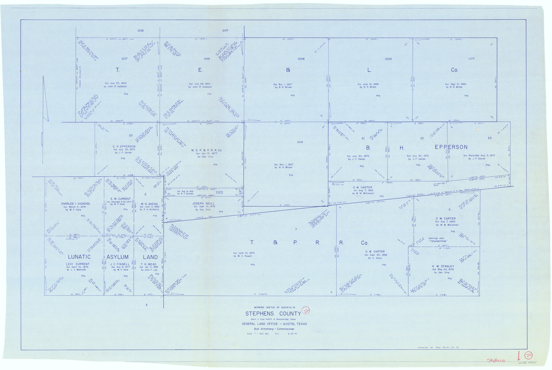
Stephens County Working Sketch 22
-
Map/Doc
63965
-
Collection
General Map Collection
-
Object Dates
6/19/1975 (Creation Date)
-
People and Organizations
Beverly Christian (Draftsman)
-
Counties
Stephens
-
Subjects
Surveying Working Sketch
-
Height x Width
32.9 x 49.0 inches
83.6 x 124.5 cm
-
Scale
1" = 500 feet
Part of: General Map Collection
Galveston County NRC Article 33.136 Sketch 81

Print $202.00
- Digital $50.00
Galveston County NRC Article 33.136 Sketch 81
2015
Size 34.0 x 22.0 inches
Map/Doc 94976
Bee County Sketch File 29

Print $6.00
- Digital $50.00
Bee County Sketch File 29
1887
Size 14.0 x 8.8 inches
Map/Doc 14338
Howard County

Print $20.00
- Digital $50.00
Howard County
1922
Size 41.3 x 35.2 inches
Map/Doc 73185
Sabine and Neches Rivers

Print $20.00
- Digital $50.00
Sabine and Neches Rivers
1973
Size 19.7 x 44.6 inches
Map/Doc 69818
Edwards County Working Sketch 122

Print $20.00
- Digital $50.00
Edwards County Working Sketch 122
1976
Size 25.8 x 33.9 inches
Map/Doc 68998
Map of Blanco County

Print $20.00
- Digital $50.00
Map of Blanco County
1871
Size 22.1 x 17.2 inches
Map/Doc 3304
Flight Mission No. BRA-16M, Frame 61, Jefferson County

Print $20.00
- Digital $50.00
Flight Mission No. BRA-16M, Frame 61, Jefferson County
1953
Size 18.6 x 22.2 inches
Map/Doc 85678
Tyler County Working Sketch 15

Print $20.00
- Digital $50.00
Tyler County Working Sketch 15
1960
Size 23.8 x 18.1 inches
Map/Doc 69485

Flight Mission No. DAG-21K, Frame 86, Matagorda County

Print $20.00
- Digital $50.00
Flight Mission No. DAG-21K, Frame 86, Matagorda County
1952
Size 18.5 x 19.5 inches
Map/Doc 86415
Flight Mission No. BRE-1P, Frame 75, Nueces County

Print $20.00
- Digital $50.00
Flight Mission No. BRE-1P, Frame 75, Nueces County
1956
Size 18.4 x 22.2 inches
Map/Doc 86657
Hansford County Working Sketch 3

Print $20.00
- Digital $50.00
Hansford County Working Sketch 3
1940
Size 20.5 x 16.5 inches
Map/Doc 63375
You may also like
Marion County Rolled Sketch JRC

Print $20.00
- Digital $50.00
Marion County Rolled Sketch JRC
1953
Size 19.4 x 20.5 inches
Map/Doc 6662
Glasscock County Rolled Sketch 1

Print $20.00
- Digital $50.00
Glasscock County Rolled Sketch 1
1906
Size 37.3 x 33.6 inches
Map/Doc 9055
Current Miscellaneous File 66

Print $34.00
- Digital $50.00
Current Miscellaneous File 66
Size 11.2 x 8.6 inches
Map/Doc 74113
Cass County Rolled Sketch 4

Print $20.00
- Digital $50.00
Cass County Rolled Sketch 4
1946
Size 20.2 x 15.1 inches
Map/Doc 5410
Palo Pinto County Sketch File 27

Print $21.00
- Digital $50.00
Palo Pinto County Sketch File 27
1875
Size 9.8 x 15.7 inches
Map/Doc 33430
Marion County Working Sketch 5

Print $20.00
- Digital $50.00
Marion County Working Sketch 5
1910
Size 24.5 x 15.2 inches
Map/Doc 70780
[Part of Map Showing Terry & Lynn County Line Highlighting Parts of Blocks D8, E, 9]
![92264, [Part of Map Showing Terry & Lynn County Line Highlighting Parts of Blocks D8, E, 9], Twichell Survey Records](https://historictexasmaps.com/wmedia_w700/maps/92264-1.tif.jpg)
Print $20.00
- Digital $50.00
[Part of Map Showing Terry & Lynn County Line Highlighting Parts of Blocks D8, E, 9]
Size 18.2 x 10.9 inches
Map/Doc 92264
Old Miscellaneous File 3

Print $4.00
- Digital $50.00
Old Miscellaneous File 3
1839
Size 8.8 x 8.2 inches
Map/Doc 75414
Kent County Sketch File 10a

Print $4.00
- Digital $50.00
Kent County Sketch File 10a
Size 5.9 x 12.0 inches
Map/Doc 28836
General Highway Map. Detail of Cities and Towns in Kinney County, Uvalde County [Uvalde and vicinity, Sabinal, and Brackettville and vicinity]
![79163, General Highway Map. Detail of Cities and Towns in Kinney County, Uvalde County [Uvalde and vicinity, Sabinal, and
Brackettville and vicinity], Texas State Library and Archives](https://historictexasmaps.com/wmedia_w700/maps/79163.tif.jpg)
Print $20.00
General Highway Map. Detail of Cities and Towns in Kinney County, Uvalde County [Uvalde and vicinity, Sabinal, and Brackettville and vicinity]
1940
Size 18.5 x 24.7 inches
Map/Doc 79163
General Highway Map, Comal County, Texas

Print $20.00
General Highway Map, Comal County, Texas
1940
Size 18.2 x 25.2 inches
Map/Doc 79055
Culberson County Rolled Sketch 41

Print $88.00
- Digital $50.00
Culberson County Rolled Sketch 41
1944
Size 57.5 x 46.0 inches
Map/Doc 8752