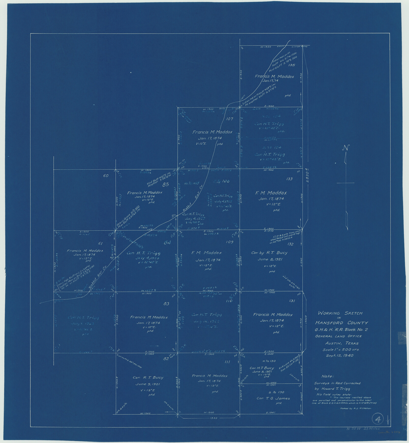
Hansford County Working Sketch 4
- 
                          Map/Doc
63376
 - 
                            Collection
General Map Collection
 - 
                            Object Dates
9/12/1940 (Creation Date)
 - 
                            People and Organizations
R.J. McMahon (Draftsman)
 - 
                            Counties
Hansford
 - 
                            Subjects
Surveying Working Sketch
 - 
                            Height x Width
27.6 x 25.4 inches
70.1 x 64.5 cm
 - 
                            Scale
1" = 500 varas
 
Part of: General Map Collection
            Harrison County Rolled Sketch 4


                                            Print $20.00                    
                                             -                         Digital $50.00                                    
                Harrison County Rolled Sketch 4
1938
Size 28.2 x 34.9 inches
                                Map/Doc 6150
            
            Upton County Rolled Sketch 9


                                            Print $20.00                    
                                             -                         Digital $50.00                                    
                Upton County Rolled Sketch 9
1911
Size 15.3 x 27.0 inches
                                Map/Doc 8068
            
            Amistad International Reservoir on Rio Grande 66


                                            Print $20.00                    
                                             -                         Digital $50.00                                    
                Amistad International Reservoir on Rio Grande 66
1949
Size 28.5 x 39.6 inches
                                Map/Doc 73351
            
            Mitchell County Boundary File 1a


                                            Print $32.00                    
                                             -                         Digital $50.00                                    
                Mitchell County Boundary File 1a
Size 13.4 x 8.6 inches
                                Map/Doc 57344
            
            Supreme Court of the United States, October Term, 1923, No. 15, Original - The State of Oklahoma, Complainant vs. The State of Texas, Defendant, The United States, Intervener; Report of the Boundary Commissioners


                                            Print $20.00                    
                                             -                         Digital $50.00                                    
                Supreme Court of the United States, October Term, 1923, No. 15, Original - The State of Oklahoma, Complainant vs. The State of Texas, Defendant, The United States, Intervener; Report of the Boundary Commissioners
1923
Size 46.4 x 33.4 inches
                                Map/Doc 75122
            
            Flight Mission No. DIX-6P, Frame 129, Aransas County


                                            Print $20.00                    
                                             -                         Digital $50.00                                    
                Flight Mission No. DIX-6P, Frame 129, Aransas County
1956
Size 18.9 x 22.4 inches
                                Map/Doc 83835
            
            [Atlas C, Table of Contents]


                                            Print $3.00                    
                                             -                         Digital $50.00                                    
                [Atlas C, Table of Contents]
Size 14.7 x 9.6 inches
                                Map/Doc 78353
            
            Flight Mission No. DIX-6P, Frame 118, Aransas County


                                            Print $20.00                    
                                             -                         Digital $50.00                                    
                Flight Mission No. DIX-6P, Frame 118, Aransas County
1956
Size 19.1 x 22.9 inches
                                Map/Doc 83824
            
            Houston Ship Channel, Alexander Island to Carpenter Bayou


                                            Print $20.00                    
                                             -                         Digital $50.00                                    
                Houston Ship Channel, Alexander Island to Carpenter Bayou
1971
Size 35.1 x 46.7 inches
                                Map/Doc 69907
            
            Flight Mission No. DQN-1K, Frame 72, Calhoun County


                                            Print $20.00                    
                                             -                         Digital $50.00                                    
                Flight Mission No. DQN-1K, Frame 72, Calhoun County
1953
Size 18.4 x 22.3 inches
                                Map/Doc 84159
            
            Edwards County Working Sketch 14


                                            Print $20.00                    
                                             -                         Digital $50.00                                    
                Edwards County Working Sketch 14
1924
Size 19.4 x 31.0 inches
                                Map/Doc 68890
            
            Kinney County Working Sketch 51


                                            Print $20.00                    
                                             -                         Digital $50.00                                    
                Kinney County Working Sketch 51
1980
Size 34.6 x 47.2 inches
                                Map/Doc 70233
            You may also like
            Colorado County Working Sketch 12


                                            Print $20.00                    
                                             -                         Digital $50.00                                    
                Colorado County Working Sketch 12
1943
Size 27.5 x 21.4 inches
                                Map/Doc 68112
            
            Uvalde County Sketch File 26-2


                                            Print $6.00                    
                                             -                         Digital $50.00                                    
                Uvalde County Sketch File 26-2
1942
Size 11.4 x 9.0 inches
                                Map/Doc 39020
            
            [Sketch of area in dispute between Archibald Smith and Cyrena McReara Surveys]


                                            Print $20.00                    
                                             -                         Digital $50.00                                    
                [Sketch of area in dispute between Archibald Smith and Cyrena McReara Surveys]
Size 27.8 x 31.9 inches
                                Map/Doc 91923
            
            Topographic Map of Texas and Oklahoma Boundary, Fort Augur Area


                                            Print $20.00                    
                                    
                Topographic Map of Texas and Oklahoma Boundary, Fort Augur Area
1924
Size 32.3 x 33.8 inches
                                Map/Doc 79755
            
            Carson County


                                            Print $20.00                    
                                             -                         Digital $50.00                                    
                Carson County
1932
Size 43.4 x 38.8 inches
                                Map/Doc 95449
            
            Upshur County Sketch File 21


                                            Print $78.00                    
                                             -                         Digital $50.00                                    
                Upshur County Sketch File 21
2000
Size 36.6 x 24.9 inches
                                Map/Doc 12508
            
            Montague County Sketch File 28


                                            Print $4.00                    
                                             -                         Digital $50.00                                    
                Montague County Sketch File 28
1963
Size 18.7 x 22.6 inches
                                Map/Doc 12110
            
            Clay County Sketch File 38a


                                            Print $6.00                    
                                             -                         Digital $50.00                                    
                Clay County Sketch File 38a
1939
Size 14.3 x 8.8 inches
                                Map/Doc 18469
            
            Presidio County Sketch File S


                                            Print $27.00                    
                                             -                         Digital $50.00                                    
                Presidio County Sketch File S
1917
Size 14.3 x 8.8 inches
                                Map/Doc 34561
            
            Fisher County Sketch File A2


                                            Print $20.00                    
                                             -                         Digital $50.00                                    
                Fisher County Sketch File A2
1901
Size 35.8 x 31.0 inches
                                Map/Doc 10450
            
            Colorado River Project - Texas, Marshall Ford Dam right of way survey


                                            Print $20.00                    
                                             -                         Digital $50.00                                    
                Colorado River Project - Texas, Marshall Ford Dam right of way survey
1937
Size 22.1 x 42.0 inches
                                Map/Doc 3151
            
            Wise County Sketch File 34


                                            Print $6.00                    
                                             -                         Digital $50.00                                    
                Wise County Sketch File 34
1856
Size 6.3 x 9.6 inches
                                Map/Doc 40592