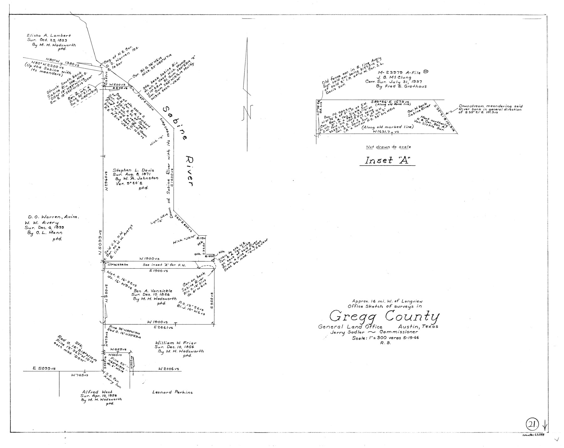
Gregg County Working Sketch 21
-
Map/Doc
63288
-
Collection
General Map Collection
-
Object Dates
5/19/1966 (Creation Date)
-
People and Organizations
Roy Buckholts (Draftsman)
-
Counties
Gregg
-
Subjects
Surveying Working Sketch
-
Height x Width
25.5 x 32.1 inches
64.8 x 81.5 cm
-
Scale
1" = 300 varas
Part of: General Map Collection
Irion County Rolled Sketch 3

Print $20.00
- Digital $50.00
Irion County Rolled Sketch 3
Size 26.2 x 27.5 inches
Map/Doc 6318
Crockett County Working Sketch 61

Print $20.00
- Digital $50.00
Crockett County Working Sketch 61
1955
Size 36.5 x 33.2 inches
Map/Doc 68394
Harrison County Sketch File 10

Print $4.00
- Digital $50.00
Harrison County Sketch File 10
Size 7.7 x 8.0 inches
Map/Doc 26050
Street guide and metropolitan map of New Orleans [Verso]
![94199, Street guide and metropolitan map of New Orleans [Verso], General Map Collection](https://historictexasmaps.com/wmedia_w700/maps/94199.tif.jpg)
Street guide and metropolitan map of New Orleans [Verso]
1963
Size 18.3 x 27.1 inches
Map/Doc 94199
Freestone County Working Sketch 31a

Print $20.00
- Digital $50.00
Freestone County Working Sketch 31a
1996
Size 25.4 x 31.9 inches
Map/Doc 69273
City of Austin, Texas and Suburban Territory

Print $40.00
- Digital $50.00
City of Austin, Texas and Suburban Territory
1952
Size 52.9 x 47.2 inches
Map/Doc 73582
Cooke County Boundary File 4

Print $6.00
- Digital $50.00
Cooke County Boundary File 4
Size 8.6 x 11.3 inches
Map/Doc 51855
San Patricio County

Print $40.00
- Digital $50.00
San Patricio County
1939
Size 40.3 x 49.3 inches
Map/Doc 95634
Flight Mission No. DQO-11K, Frame 27, Galveston County

Print $20.00
- Digital $50.00
Flight Mission No. DQO-11K, Frame 27, Galveston County
1952
Size 18.8 x 22.4 inches
Map/Doc 85224
Tarrant's Key and Guide to Dallas

Print $3.00
- Digital $50.00
Tarrant's Key and Guide to Dallas
1922
Size 7.9 x 10.4 inches
Map/Doc 89257
Crane County Sketch File 17

Print $6.00
- Digital $50.00
Crane County Sketch File 17
1927
Size 11.1 x 8.4 inches
Map/Doc 19581

You may also like
Sutton County Sketch File 2

Print $4.00
- Digital $50.00
Sutton County Sketch File 2
1898
Size 6.1 x 9.7 inches
Map/Doc 37351
Eastland County Sketch File 7

Print $4.00
- Digital $50.00
Eastland County Sketch File 7
1872
Size 12.6 x 8.5 inches
Map/Doc 21574
Map of part of Waller County

Print $20.00
- Digital $50.00
Map of part of Waller County
Size 16.3 x 13.5 inches
Map/Doc 685
Milam County Boundary File 3

Print $16.00
- Digital $50.00
Milam County Boundary File 3
Size 13.9 x 8.5 inches
Map/Doc 57213
[Worksheets related to the Wilson Strickland survey and vicinity]
![91384, [Worksheets related to the Wilson Strickland survey and vicinity], Twichell Survey Records](https://historictexasmaps.com/wmedia_w700/maps/91384-1.tif.jpg)
Print $20.00
- Digital $50.00
[Worksheets related to the Wilson Strickland survey and vicinity]
Size 23.6 x 28.0 inches
Map/Doc 91384
Houston Ship Channel, Alexander Island to Carpenter Bayou

Print $40.00
- Digital $50.00
Houston Ship Channel, Alexander Island to Carpenter Bayou
1989
Size 35.5 x 49.4 inches
Map/Doc 69916
Flight Mission No. CGI-4N, Frame 158, Cameron County

Print $20.00
- Digital $50.00
Flight Mission No. CGI-4N, Frame 158, Cameron County
1955
Size 18.5 x 22.2 inches
Map/Doc 84666
Harris County Working Sketch 83

Print $20.00
- Digital $50.00
Harris County Working Sketch 83
1970
Size 26.0 x 30.1 inches
Map/Doc 65975
[Map of North Carolina and South Carolina]
![96621, [Map of North Carolina and South Carolina], Cobb Digital Map Collection](https://historictexasmaps.com/wmedia_w700/maps/96621.tif.jpg)
Print $20.00
- Digital $50.00
[Map of North Carolina and South Carolina]
1869
Size 8.9 x 9.2 inches
Map/Doc 96621
Rusk County Sketch File 6

Print $4.00
Rusk County Sketch File 6
1848
Size 6.3 x 7.9 inches
Map/Doc 35499
Robertson County Working Sketch 16

Print $20.00
- Digital $50.00
Robertson County Working Sketch 16
Size 21.7 x 33.0 inches
Map/Doc 63589
Flight Mission No. DQO-8K, Frame 67, Galveston County

Print $20.00
- Digital $50.00
Flight Mission No. DQO-8K, Frame 67, Galveston County
1952
Size 18.9 x 22.4 inches
Map/Doc 85171