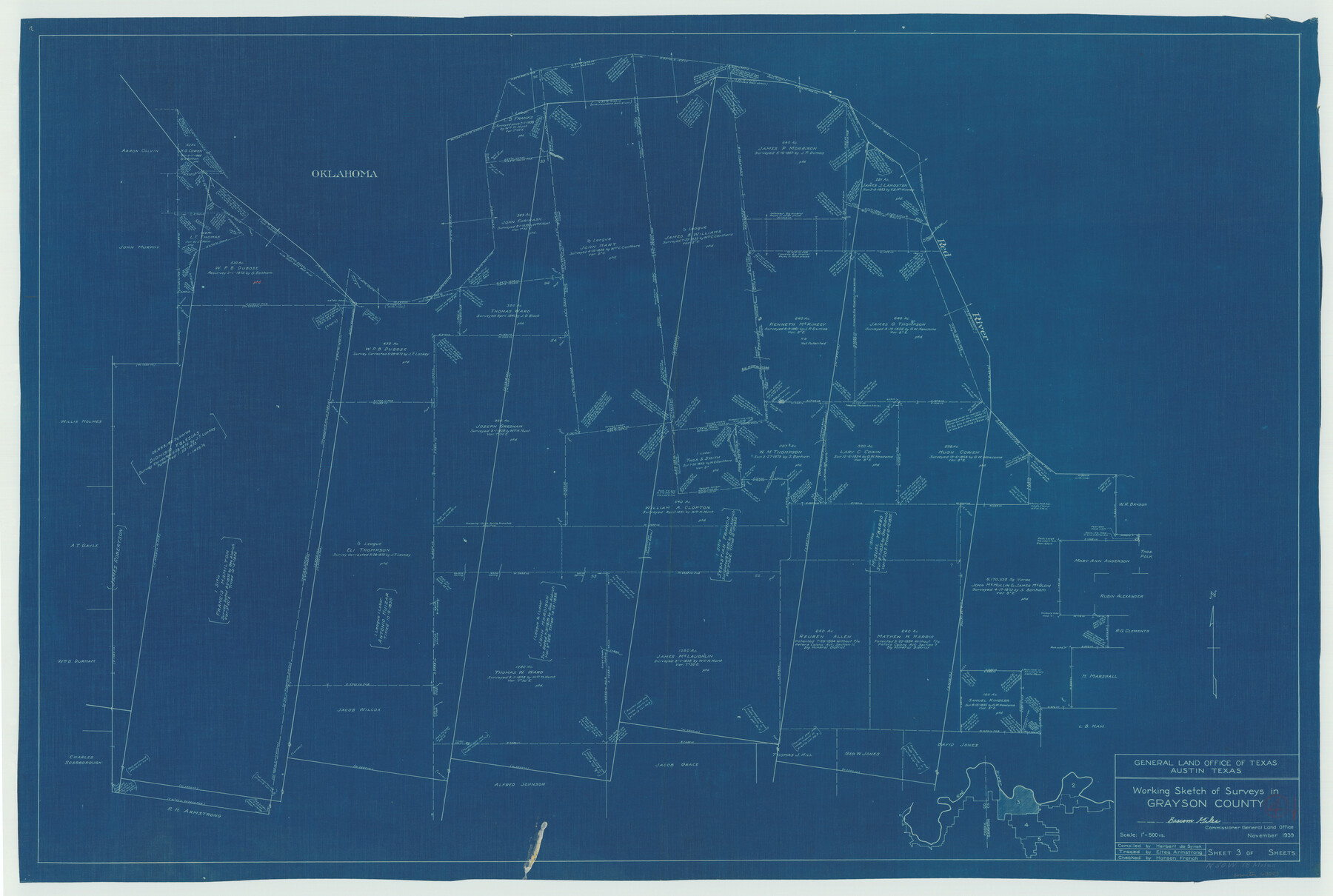
Grayson County Working Sketch 4
-
Map/Doc
63243
-
Collection
General Map Collection
-
Object Dates
10/1939 (Creation Date)
-
People and Organizations
Herbert de Synek (Compiler)
Eltea Armstrong (Tracer)
-
Counties
Grayson
-
Subjects
Surveying Working Sketch
-
Height x Width
27.6 x 41.0 inches
70.1 x 104.1 cm
-
Scale
1" = 500 varas
Part of: General Map Collection
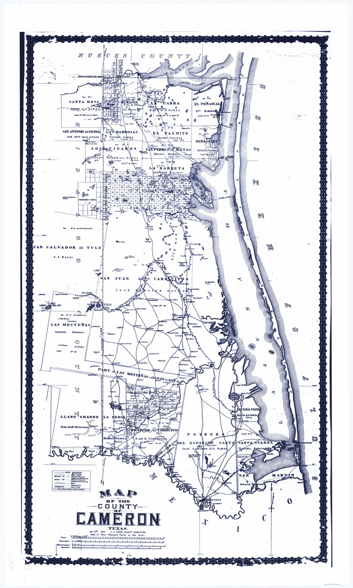
Map of the County of Cameron
Print $40.00
- Digital $50.00
Map of the County of Cameron
1884
Size 59.4 x 35.8 inches
Map/Doc 76058
Pecos County Rolled Sketch 34

Print $20.00
- Digital $50.00
Pecos County Rolled Sketch 34
1891
Size 26.1 x 40.4 inches
Map/Doc 7215
Intracoastal Waterway in Texas - Corpus Christi to Point Isabel including Arroyo Colorado to Mo. Pac. R.R. Bridge Near Harlingen

Print $20.00
- Digital $50.00
Intracoastal Waterway in Texas - Corpus Christi to Point Isabel including Arroyo Colorado to Mo. Pac. R.R. Bridge Near Harlingen
1934
Size 22.1 x 32.7 inches
Map/Doc 61887
Runnels County Rolled Sketch 47

Print $40.00
- Digital $50.00
Runnels County Rolled Sketch 47
1954
Size 49.9 x 30.5 inches
Map/Doc 76167
[Surveys between the Little River and Darr's Creek]
![69757, [Surveys between the Little River and Darr's Creek], General Map Collection](https://historictexasmaps.com/wmedia_w700/maps/69757.tif.jpg)
Print $2.00
- Digital $50.00
[Surveys between the Little River and Darr's Creek]
1846
Size 7.6 x 7.9 inches
Map/Doc 69757
Borden County Sketch File 4

Print $24.00
- Digital $50.00
Borden County Sketch File 4
1903
Size 8.8 x 7.8 inches
Map/Doc 14707

[Surveys along the boundary between Jasper and Jefferson Counties]
![99, [Surveys along the boundary between Jasper and Jefferson Counties], General Map Collection](https://historictexasmaps.com/wmedia_w700/maps/99.tif.jpg)
Print $3.00
- Digital $50.00
[Surveys along the boundary between Jasper and Jefferson Counties]
1841
Size 9.3 x 16.9 inches
Map/Doc 99
Irion County Sketch File 13

Print $4.00
- Digital $50.00
Irion County Sketch File 13
1940
Size 11.2 x 8.8 inches
Map/Doc 27484
Calhoun County Rolled Sketch 14

Print $20.00
- Digital $50.00
Calhoun County Rolled Sketch 14
Size 22.2 x 40.6 inches
Map/Doc 5369
Val Verde County Sketch File 19

Print $4.00
- Digital $50.00
Val Verde County Sketch File 19
1858
Size 13.0 x 8.1 inches
Map/Doc 39229
Freestone County Sketch File 16

Print $4.00
- Digital $50.00
Freestone County Sketch File 16
Size 6.4 x 8.7 inches
Map/Doc 23072
You may also like
Reeves County Rolled Sketch N1

Print $20.00
- Digital $50.00
Reeves County Rolled Sketch N1
Size 21.8 x 41.9 inches
Map/Doc 7505
Harris County Sketch File 69

Print $12.00
- Digital $50.00
Harris County Sketch File 69
1938
Size 11.5 x 8.8 inches
Map/Doc 25512
Map Representing the Original Locations of Various Surveys Deliniated Thereon

Print $40.00
- Digital $50.00
Map Representing the Original Locations of Various Surveys Deliniated Thereon
1890
Size 40.8 x 62.0 inches
Map/Doc 469
Chambers County NRC Article 33.136 Sketch 6

Print $58.00
- Digital $50.00
Chambers County NRC Article 33.136 Sketch 6
2007
Size 11.0 x 8.5 inches
Map/Doc 88802
Flight Mission No. CLL-1N, Frame 88, Willacy County

Print $20.00
- Digital $50.00
Flight Mission No. CLL-1N, Frame 88, Willacy County
1954
Size 18.4 x 22.1 inches
Map/Doc 87034
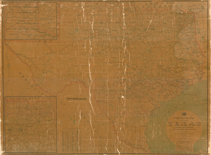
Post Route Map of the State of Texas showing post offices with the intermediate distances on mail routes in operation on the 1st of March, 1907
Print $40.00
- Digital $50.00
Post Route Map of the State of Texas showing post offices with the intermediate distances on mail routes in operation on the 1st of March, 1907
1907
Size 50.1 x 68.0 inches
Map/Doc 2090
Intracoastal Waterway in Texas - Corpus Christi to Point Isabel including Arroyo Colorado to Mo. Pac. R.R. Bridge Near Harlingen

Print $20.00
- Digital $50.00
Intracoastal Waterway in Texas - Corpus Christi to Point Isabel including Arroyo Colorado to Mo. Pac. R.R. Bridge Near Harlingen
1933
Size 27.7 x 40.9 inches
Map/Doc 61859
Sketch of a portion of the Texas Coast showing the relative positions of different harbours with the interior Military Posts, and the roads communicating with them, also two new routes from Black Point and Lamar to San Antonio

Print $20.00
- Digital $50.00
Sketch of a portion of the Texas Coast showing the relative positions of different harbours with the interior Military Posts, and the roads communicating with them, also two new routes from Black Point and Lamar to San Antonio
1855
Size 27.3 x 18.3 inches
Map/Doc 72709
Map showing eight tidal areas in Oso Bay and Oso Creek, Nueces County, Texas offered for Mineral Development

Print $20.00
- Digital $50.00
Map showing eight tidal areas in Oso Bay and Oso Creek, Nueces County, Texas offered for Mineral Development
1936
Size 17.9 x 29.7 inches
Map/Doc 2067
Current Miscellaneous File 81

Print $14.00
- Digital $50.00
Current Miscellaneous File 81
1942
Size 14.2 x 8.9 inches
Map/Doc 74217
Culberson County Rolled Sketch 44

Print $20.00
- Digital $50.00
Culberson County Rolled Sketch 44
1949
Size 24.4 x 31.1 inches
Map/Doc 5666
Morris County Rolled Sketch 2A

Print $20.00
- Digital $50.00
Morris County Rolled Sketch 2A
Size 24.0 x 18.7 inches
Map/Doc 10258