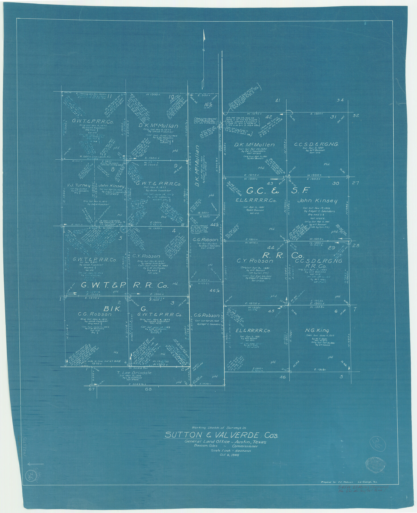
Sutton County Working Sketch 36
-
Map/Doc
62379
-
Collection
General Map Collection
-
Object Dates
10/8/1945 (Creation Date)
-
Counties
Sutton Val Verde
-
Subjects
Surveying Working Sketch
-
Height x Width
31.3 x 25.4 inches
79.5 x 64.5 cm
-
Scale
1" = 500 varas
Part of: General Map Collection
Sabine River, Iron Bridge Crossing Sheet

Print $20.00
- Digital $50.00
Sabine River, Iron Bridge Crossing Sheet
1936
Size 33.0 x 40.6 inches
Map/Doc 65139
McMullen County Working Sketch 54

Print $20.00
- Digital $50.00
McMullen County Working Sketch 54
1983
Size 25.3 x 29.0 inches
Map/Doc 70755
Crane County Sketch File 20

Print $4.00
- Digital $50.00
Crane County Sketch File 20
1928
Size 14.4 x 9.0 inches
Map/Doc 19588
El Paso County Rolled Sketch 30

Print $20.00
- Digital $50.00
El Paso County Rolled Sketch 30
1906
Size 40.9 x 22.8 inches
Map/Doc 5825
Cameron County Aerial Photograph Index Sheet 7

Print $20.00
- Digital $50.00
Cameron County Aerial Photograph Index Sheet 7
1955
Size 21.8 x 16.2 inches
Map/Doc 83679
Jim Wells County Working Sketch 2

Print $20.00
- Digital $50.00
Jim Wells County Working Sketch 2
1931
Size 17.0 x 18.0 inches
Map/Doc 66600
Goliad County

Print $20.00
- Digital $50.00
Goliad County
1946
Size 42.8 x 45.0 inches
Map/Doc 73159
Map of Kaufman County showing location of the Texas and Pacific Railway

Print $20.00
- Digital $50.00
Map of Kaufman County showing location of the Texas and Pacific Railway
1872
Size 24.2 x 17.8 inches
Map/Doc 64138
Carte de la Louisiane et du Cours du Mississipi

Print $20.00
- Digital $50.00
Carte de la Louisiane et du Cours du Mississipi
1718
Size 21.7 x 28.6 inches
Map/Doc 95161
Nueces County Rolled Sketch 2

Print $20.00
- Digital $50.00
Nueces County Rolled Sketch 2
1907
Size 18.4 x 35.8 inches
Map/Doc 6865
Reeves County Sketch File 5

Print $20.00
- Digital $50.00
Reeves County Sketch File 5
Size 16.1 x 33.4 inches
Map/Doc 12241
Flight Mission No. BRA-8M, Frame 131, Jefferson County

Print $20.00
- Digital $50.00
Flight Mission No. BRA-8M, Frame 131, Jefferson County
1953
Size 15.9 x 16.0 inches
Map/Doc 85627
You may also like
Map of State University Land, Pecos County, Texas

Print $20.00
- Digital $50.00
Map of State University Land, Pecos County, Texas
1929
Size 42.1 x 33.5 inches
Map/Doc 91626
[Galveston, Harrisburg & San Antonio through El Paso County]
![64005, [Galveston, Harrisburg & San Antonio through El Paso County], General Map Collection](https://historictexasmaps.com/wmedia_w700/maps/64005.tif.jpg)
Print $20.00
- Digital $50.00
[Galveston, Harrisburg & San Antonio through El Paso County]
1906
Size 13.3 x 33.6 inches
Map/Doc 64005
Reconnoissance of Sabine Pass

Print $20.00
Reconnoissance of Sabine Pass
1853
Size 12.4 x 10.3 inches
Map/Doc 76281
Val Verde County Sketch File A2

Print $10.00
- Digital $50.00
Val Verde County Sketch File A2
1916
Size 14.5 x 9.1 inches
Map/Doc 39041
Intracoastal Waterway, Houma, LA to Corpus Christi, TX

Print $4.00
- Digital $50.00
Intracoastal Waterway, Houma, LA to Corpus Christi, TX
Size 23.8 x 22.0 inches
Map/Doc 61910
Borden County Working Sketch 4

Print $20.00
- Digital $50.00
Borden County Working Sketch 4
1944
Size 21.7 x 23.7 inches
Map/Doc 67464
Map of Red River Division of International & Great Northern Railroad

Print $40.00
- Digital $50.00
Map of Red River Division of International & Great Northern Railroad
Size 23.5 x 103.4 inches
Map/Doc 64475

Official Railroad and County Map of Texas

Print $40.00
Official Railroad and County Map of Texas
1914
Size 45.8 x 48.6 inches
Map/Doc 76233

Sutton County Sketch File 50

Print $20.00
- Digital $50.00
Sutton County Sketch File 50
1941
Size 18.6 x 18.4 inches
Map/Doc 12392
Map of Atascosa Co.

Print $40.00
- Digital $50.00
Map of Atascosa Co.
1894
Size 49.4 x 46.6 inches
Map/Doc 4794