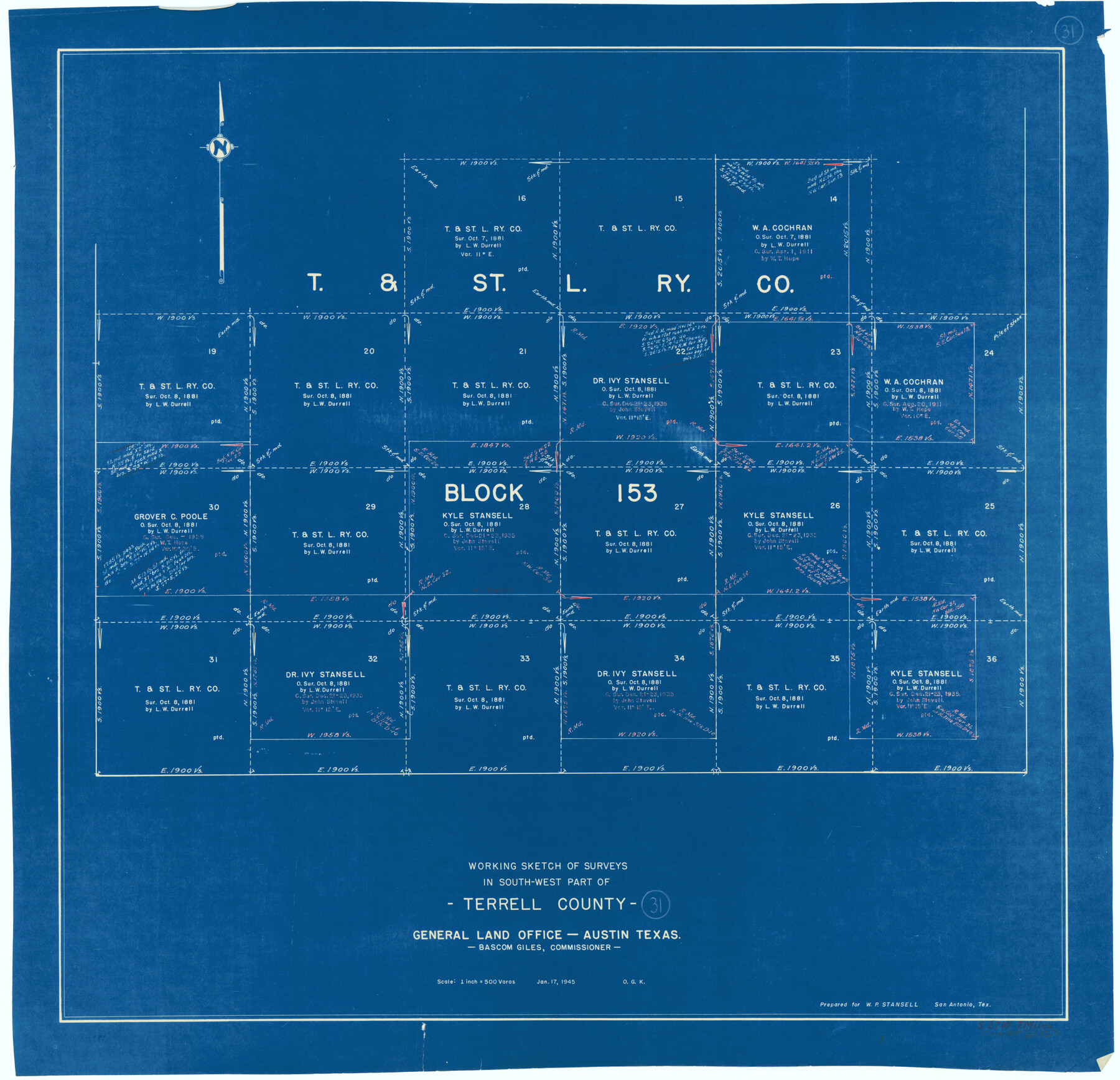
Terrell County Working Sketch 31
-
Map/Doc
62123
-
Collection
General Map Collection
-
Object Dates
1/17/1945 (Creation Date)
-
People and Organizations
Otto G. Kurio (Draftsman)
-
Counties
Terrell
-
Subjects
Surveying Working Sketch
-
Height x Width
26.8 x 27.8 inches
68.1 x 70.6 cm
-
Scale
1" = 500 varas
Part of: General Map Collection
Georgetown and the City of Washington the Capital of the United States of America

Print $20.00
- Digital $50.00
Georgetown and the City of Washington the Capital of the United States of America
1856
Size 15.7 x 18.7 inches
Map/Doc 95359
Clay County Boundary File 18a

Print $80.00
- Digital $50.00
Clay County Boundary File 18a
Size 65.3 x 17.3 inches
Map/Doc 51443
Aransas County Rolled Sketch 25

Print $20.00
- Digital $50.00
Aransas County Rolled Sketch 25
1983
Size 18.4 x 24.5 inches
Map/Doc 5061
Treaty to Resolve Pending Boundary Differences and Maintain the Rio Grande and Colorado River as the International Boundary Between the United States of American and Mexico

Print $20.00
- Digital $50.00
Treaty to Resolve Pending Boundary Differences and Maintain the Rio Grande and Colorado River as the International Boundary Between the United States of American and Mexico
1970
Size 11.0 x 35.3 inches
Map/Doc 83103
Gray County Boundary File 9

Print $6.00
- Digital $50.00
Gray County Boundary File 9
Size 11.6 x 9.1 inches
Map/Doc 53902
Concho County Sketch File 3

Print $6.00
- Digital $50.00
Concho County Sketch File 3
1857
Size 13.1 x 8.4 inches
Map/Doc 19124
Haskell County Rolled Sketch 15A

Print $3.00
- Digital $50.00
Haskell County Rolled Sketch 15A
1991
Size 11.3 x 17.1 inches
Map/Doc 6174
Potter County

Print $20.00
- Digital $50.00
Potter County
1960
Size 40.0 x 32.3 inches
Map/Doc 77397
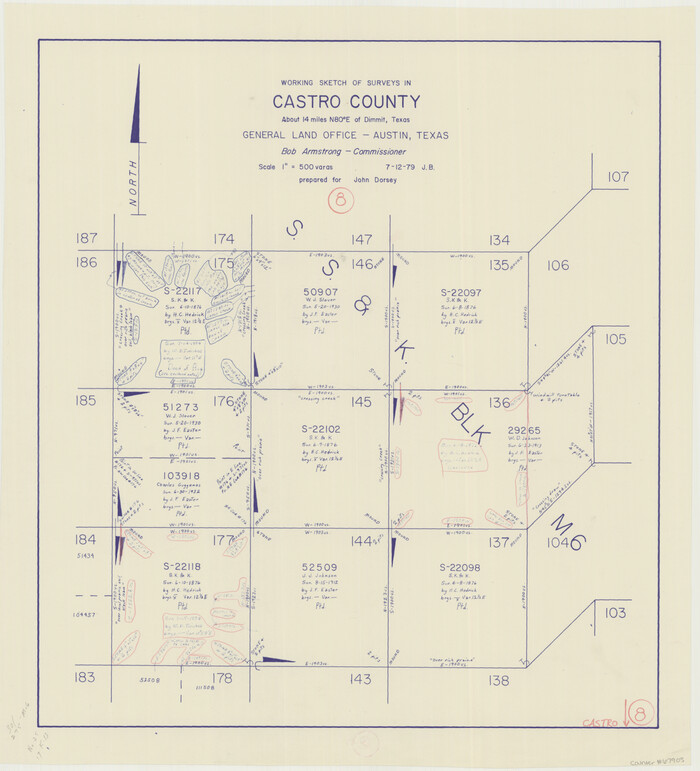
Castro County Working Sketch 8
Print $20.00
- Digital $50.00
Castro County Working Sketch 8
1979
Size 21.2 x 19.3 inches
Map/Doc 67903
[Sketch for Mineral Application 26501 - Sabine River, T. A. Oldhausen]
![2839, [Sketch for Mineral Application 26501 - Sabine River, T. A. Oldhausen], General Map Collection](https://historictexasmaps.com/wmedia_w700/maps/2839.tif.jpg)
Print $20.00
- Digital $50.00
[Sketch for Mineral Application 26501 - Sabine River, T. A. Oldhausen]
1931
Size 17.7 x 36.4 inches
Map/Doc 2839
Parker County Boundary File 3a

Print $34.00
- Digital $50.00
Parker County Boundary File 3a
Size 11.2 x 8.8 inches
Map/Doc 57840
Hartley County

Print $40.00
- Digital $50.00
Hartley County
1925
Size 41.1 x 48.5 inches
Map/Doc 73174
You may also like
Denton County Working Sketch 7

Print $20.00
- Digital $50.00
Denton County Working Sketch 7
1958
Size 26.0 x 28.8 inches
Map/Doc 68612
Runnels County

Print $20.00
- Digital $50.00
Runnels County
1879
Size 22.1 x 19.2 inches
Map/Doc 3999
McLennan County Working Sketch 8

Print $20.00
- Digital $50.00
McLennan County Working Sketch 8
1974
Size 34.1 x 30.6 inches
Map/Doc 70701
Hardeman County Rolled Sketch 25

Print $20.00
- Digital $50.00
Hardeman County Rolled Sketch 25
1985
Size 20.9 x 15.1 inches
Map/Doc 6075
Right of Way & Track Map, St. Louis, Brownsville & Mexico Ry. operated by St. Louis, Brownsville & Mexico Ry. Co.

Print $40.00
- Digital $50.00
Right of Way & Track Map, St. Louis, Brownsville & Mexico Ry. operated by St. Louis, Brownsville & Mexico Ry. Co.
1919
Size 25.7 x 57.6 inches
Map/Doc 64619
Presidio County Working Sketch 7

Print $20.00
- Digital $50.00
Presidio County Working Sketch 7
1926
Size 35.0 x 40.0 inches
Map/Doc 71681
Map of Harris County

Print $40.00
- Digital $50.00
Map of Harris County
1896
Size 52.7 x 66.7 inches
Map/Doc 82071
Lynn County Rolled Sketch 15

Print $20.00
- Digital $50.00
Lynn County Rolled Sketch 15
1986
Size 36.4 x 24.5 inches
Map/Doc 6651
Hill County Boundary File 45c

Print $64.00
- Digital $50.00
Hill County Boundary File 45c
Size 14.5 x 8.8 inches
Map/Doc 54784
[A. Dubois Survey and vicinity]
![91524, [A. Dubois Survey and vicinity], Twichell Survey Records](https://historictexasmaps.com/wmedia_w700/maps/91524-1.tif.jpg)
Print $3.00
- Digital $50.00
[A. Dubois Survey and vicinity]
Size 11.4 x 14.6 inches
Map/Doc 91524
Orange County Sketch File 16

Print $20.00
- Digital $50.00
Orange County Sketch File 16
Size 18.1 x 32.8 inches
Map/Doc 12119
Real County Working Sketch 49

Print $20.00
- Digital $50.00
Real County Working Sketch 49
1957
Size 25.9 x 25.7 inches
Map/Doc 71941