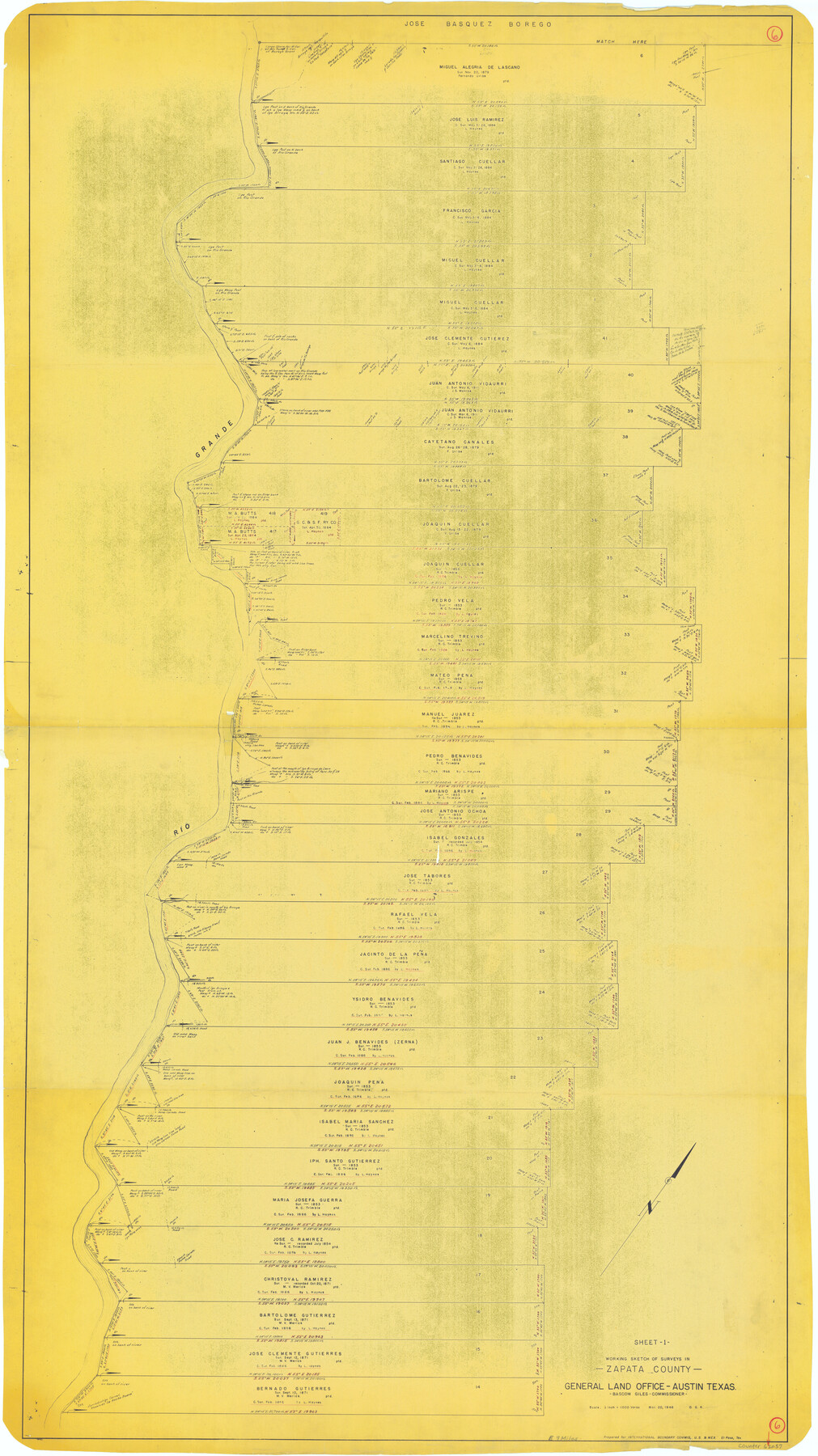
Zapata County Working Sketch 6
-
Map/Doc
62057
-
Collection
General Map Collection
-
Object Dates
3/20/1946 (Creation Date)
-
People and Organizations
Otto G. Kurio (Draftsman)
-
Counties
Zapata
-
Subjects
Surveying Working Sketch
-
Height x Width
65.9 x 37.0 inches
167.4 x 94.0 cm
-
Scale
1" = 1000 varas
Part of: General Map Collection
Childress Co.

Print $20.00
- Digital $50.00
Childress Co.
1892
Size 40.3 x 33.7 inches
Map/Doc 66752
Map of University Land in Shackelford and Callahan Counties

Print $20.00
- Digital $50.00
Map of University Land in Shackelford and Callahan Counties
1905
Size 33.4 x 25.3 inches
Map/Doc 2435
La Salle County Rolled Sketch 18

Print $20.00
- Digital $50.00
La Salle County Rolled Sketch 18
Size 29.8 x 20.6 inches
Map/Doc 6582
Pecos County Working Sketch 96

Print $20.00
- Digital $50.00
Pecos County Working Sketch 96
1970
Size 41.2 x 39.0 inches
Map/Doc 71569
Fisher County Working Sketch 3

Print $20.00
- Digital $50.00
Fisher County Working Sketch 3
1926
Size 19.7 x 15.7 inches
Map/Doc 69137
Flight Mission No. CRE-2R, Frame 80, Jackson County

Print $20.00
- Digital $50.00
Flight Mission No. CRE-2R, Frame 80, Jackson County
1956
Size 18.7 x 22.3 inches
Map/Doc 85352
Denton County Working Sketch 6

Print $20.00
- Digital $50.00
Denton County Working Sketch 6
1958
Size 21.3 x 33.0 inches
Map/Doc 68611
Coleman County Sketch File 43a

Print $6.00
- Digital $50.00
Coleman County Sketch File 43a
1892
Size 13.2 x 8.2 inches
Map/Doc 18780
Jefferson County Rolled Sketch 4

Print $40.00
- Digital $50.00
Jefferson County Rolled Sketch 4
Size 36.7 x 65.3 inches
Map/Doc 9269
Trinity County Working Sketch 15

Print $20.00
- Digital $50.00
Trinity County Working Sketch 15
1974
Size 30.5 x 32.5 inches
Map/Doc 69464
Flight Mission No. BRA-9M, Frame 67, Jefferson County

Print $20.00
- Digital $50.00
Flight Mission No. BRA-9M, Frame 67, Jefferson County
1953
Size 18.7 x 22.4 inches
Map/Doc 85650
El Paso County Sketch File 20

Print $40.00
- Digital $50.00
El Paso County Sketch File 20
Size 31.4 x 49.4 inches
Map/Doc 10447
You may also like
Brewster County Rolled Sketch 66

Print $20.00
- Digital $50.00
Brewster County Rolled Sketch 66
1940
Size 33.0 x 36.2 inches
Map/Doc 8490
Webb County Rolled Sketch 50

Print $20.00
- Digital $50.00
Webb County Rolled Sketch 50
1943
Size 38.2 x 42.6 inches
Map/Doc 10125
The Republic County of Milam. Spring 1842

Print $20.00
The Republic County of Milam. Spring 1842
2020
Size 17.4 x 21.6 inches
Map/Doc 96232
Hudspeth County Sketch File 24

Print $20.00
- Digital $50.00
Hudspeth County Sketch File 24
1936
Size 17.8 x 16.7 inches
Map/Doc 11802
Travis County Working Sketch 36

Print $20.00
- Digital $50.00
Travis County Working Sketch 36
1967
Size 23.4 x 30.8 inches
Map/Doc 69420
General Highway Map, Archer County, Texas

Print $20.00
General Highway Map, Archer County, Texas
1940
Size 18.2 x 24.8 inches
Map/Doc 79005
Geographical Observations on the Inner Margins of the Border and Coastal Reserves of Texas, 1824-1836

Geographical Observations on the Inner Margins of the Border and Coastal Reserves of Texas, 1824-1836
2022
Map/Doc 97131
Schleicher County Sketch File 44

Print $4.00
- Digital $50.00
Schleicher County Sketch File 44
1950
Size 8.9 x 14.4 inches
Map/Doc 36550
Kinney County Rolled Sketch 11

Print $20.00
- Digital $50.00
Kinney County Rolled Sketch 11
1944
Size 39.2 x 32.0 inches
Map/Doc 6540
Flight Mission No. BQY-15M, Frame 15, Harris County

Print $20.00
- Digital $50.00
Flight Mission No. BQY-15M, Frame 15, Harris County
1953
Size 18.6 x 22.4 inches
Map/Doc 85313
Working Sketch of surveys in Brazoria County, showing Cedar Lakes

Print $40.00
- Digital $50.00
Working Sketch of surveys in Brazoria County, showing Cedar Lakes
1950
Size 31.2 x 57.3 inches
Map/Doc 1932