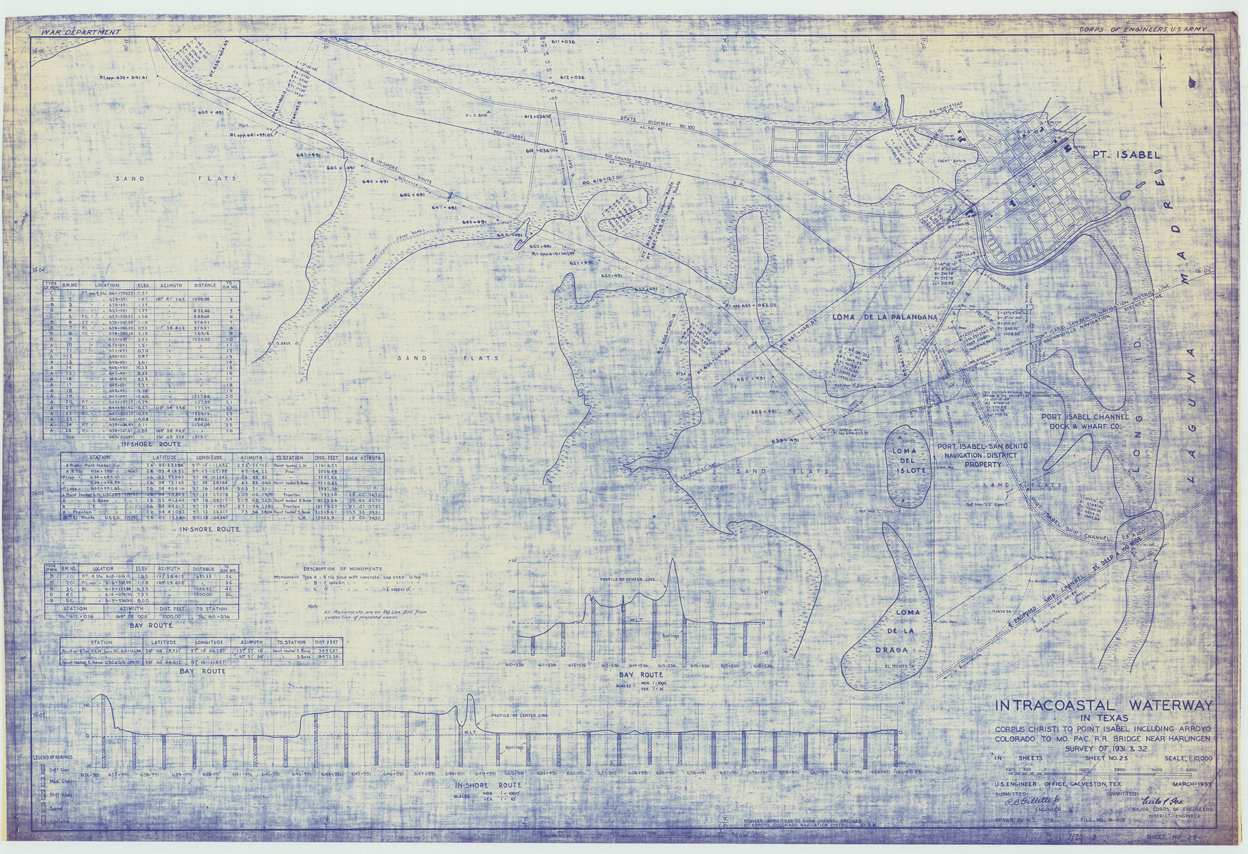
Intracoastal Waterway in Texas - Corpus Christi to Point Isabel including Arroyo Colorado to Mo. Pac. R.R. Bridge Near Harlingen
-
Map/Doc
61873
-
Collection
General Map Collection
-
Object Dates
1933 (Creation Date)
-
Subjects
Intracoastal Waterways
-
Height x Width
28.2 x 41.3 inches
71.6 x 104.9 cm
Part of: General Map Collection
Chart of the West Indies and Spanish Dominions in North America

Print $20.00
- Digital $50.00
Chart of the West Indies and Spanish Dominions in North America
1803
Size 25.5 x 38.9 inches
Map/Doc 97139
Stephens County Sketch File 22

Print $40.00
- Digital $50.00
Stephens County Sketch File 22
1919
Size 22.1 x 28.8 inches
Map/Doc 12352
East Line & Red River Railroad, Map of the Line from Sulphur Springs to Greenville

Print $40.00
- Digital $50.00
East Line & Red River Railroad, Map of the Line from Sulphur Springs to Greenville
1881
Size 19.0 x 88.2 inches
Map/Doc 64350
Jackson County

Print $20.00
- Digital $50.00
Jackson County
1840
Size 33.5 x 26.7 inches
Map/Doc 4505
Map of Lampasas County

Print $20.00
- Digital $50.00
Map of Lampasas County
1864
Size 20.5 x 24.8 inches
Map/Doc 3793
Denton County Working Sketch 33

Print $20.00
- Digital $50.00
Denton County Working Sketch 33
2002
Size 35.3 x 46.1 inches
Map/Doc 78203
Brewster County Working Sketch 16

Print $20.00
- Digital $50.00
Brewster County Working Sketch 16
1930
Size 42.0 x 40.1 inches
Map/Doc 67550
Martin County Boundary File 2b

Print $40.00
- Digital $50.00
Martin County Boundary File 2b
Size 46.4 x 20.2 inches
Map/Doc 56779
Austin County Sketch File 12

Print $40.00
- Digital $50.00
Austin County Sketch File 12
Size 22.5 x 18.0 inches
Map/Doc 10876
Montague County Rolled Sketch 3

Print $20.00
- Digital $50.00
Montague County Rolled Sketch 3
1940
Size 24.0 x 15.9 inches
Map/Doc 6787
Mason County Sketch File 20

Print $12.00
- Digital $50.00
Mason County Sketch File 20
1901
Size 14.0 x 8.6 inches
Map/Doc 30711
Texas-Louisiana Gulf Coastal Region showing Oil & Gas Fields & Prospects, Pipe Lines, Refineries & Principal Highways

Print $20.00
- Digital $50.00
Texas-Louisiana Gulf Coastal Region showing Oil & Gas Fields & Prospects, Pipe Lines, Refineries & Principal Highways
Size 22.4 x 44.2 inches
Map/Doc 96874
You may also like
Cass County Sketch File 16

Print $4.00
- Digital $50.00
Cass County Sketch File 16
Size 8.5 x 12.8 inches
Map/Doc 17416
Map of Cherokee County

Print $20.00
- Digital $50.00
Map of Cherokee County
1863
Size 25.5 x 17.7 inches
Map/Doc 3387
Maverick County Working Sketch 13

Print $20.00
- Digital $50.00
Maverick County Working Sketch 13
1969
Size 27.3 x 35.8 inches
Map/Doc 70905
Outer Continental Shelf Leasing Maps (Louisiana Offshore Operations)

Print $20.00
- Digital $50.00
Outer Continental Shelf Leasing Maps (Louisiana Offshore Operations)
1954
Size 25.5 x 15.3 inches
Map/Doc 76093
Edwards County Working Sketch 94

Print $40.00
- Digital $50.00
Edwards County Working Sketch 94
1968
Size 28.0 x 49.4 inches
Map/Doc 68970
Archer County Sketch File B-1

Print $40.00
- Digital $50.00
Archer County Sketch File B-1
Size 34.5 x 38.8 inches
Map/Doc 10370
Garza County Rolled Sketch 3

Print $2.00
- Digital $50.00
Garza County Rolled Sketch 3
Size 10.0 x 8.1 inches
Map/Doc 75940
Dimmit County Working Sketch 15

Print $20.00
- Digital $50.00
Dimmit County Working Sketch 15
1942
Size 19.0 x 34.5 inches
Map/Doc 68676
Glasscock County Sketch File 26

Print $20.00
- Digital $50.00
Glasscock County Sketch File 26
1951
Size 16.1 x 28.3 inches
Map/Doc 11567
Trinity County Sketch File 2

Print $36.00
- Digital $50.00
Trinity County Sketch File 2
1855
Size 10.3 x 8.2 inches
Map/Doc 38490
Blanco County Sketch File 52

Print $4.00
- Digital $50.00
Blanco County Sketch File 52
Size 11.3 x 8.9 inches
Map/Doc 76332
El Paso County Rolled Sketch 52

Print $20.00
- Digital $50.00
El Paso County Rolled Sketch 52
1929
Size 18.4 x 24.4 inches
Map/Doc 5844