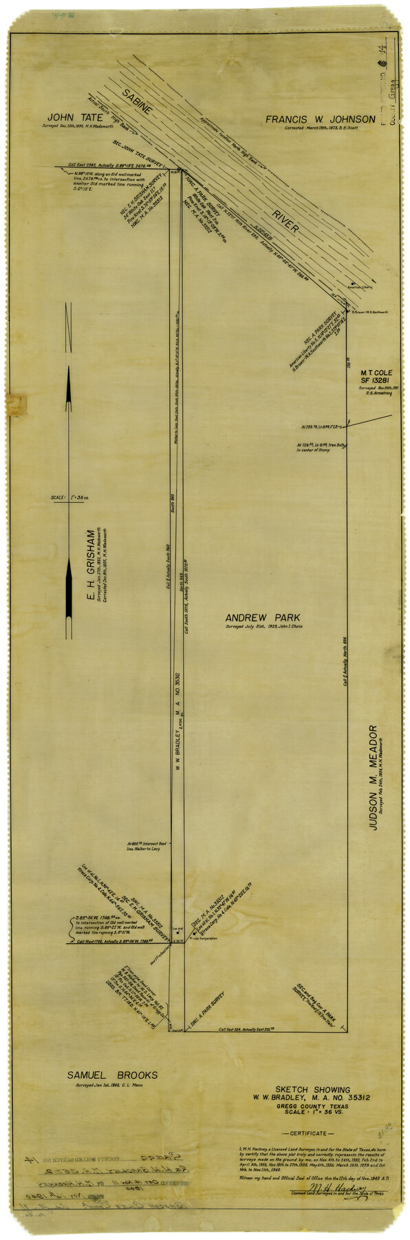
Gregg County Rolled Sketch 14
Sketch showing W.W. Bradley, MA. No. 35312
-
Map/Doc
6037
-
Collection
General Map Collection
-
Object Dates
11/12/1940 (Creation Date)
11/16/1940 (File Date)
-
People and Organizations
M.H. Hackney (Surveyor/Engineer)
-
Counties
Gregg
-
Subjects
Surveying Rolled Sketch
-
Height x Width
42.4 x 14.1 inches
107.7 x 35.8 cm
-
Medium
paper, manuscript
-
Scale
1" = 36 varas
Part of: General Map Collection
Real County Working Sketch 46

Print $20.00
- Digital $50.00
Real County Working Sketch 46
1956
Size 21.2 x 18.9 inches
Map/Doc 71938
Matagorda County Working Sketch 21

Print $20.00
- Digital $50.00
Matagorda County Working Sketch 21
1966
Size 35.5 x 41.2 inches
Map/Doc 70879
Mason County Sketch File 21A

Print $20.00
- Digital $50.00
Mason County Sketch File 21A
1932
Size 19.2 x 26.6 inches
Map/Doc 12037
Cherokee County Working Sketch 22

Print $20.00
- Digital $50.00
Cherokee County Working Sketch 22
1972
Size 24.0 x 19.2 inches
Map/Doc 67977
Crane County Rolled Sketch 17

Print $20.00
- Digital $50.00
Crane County Rolled Sketch 17
1926
Size 20.3 x 33.8 inches
Map/Doc 5576
Hardeman County

Print $20.00
- Digital $50.00
Hardeman County
1935
Size 45.1 x 42.2 inches
Map/Doc 1848
Flight Mission No. CUG-1P, Frame 106, Kleberg County

Print $20.00
- Digital $50.00
Flight Mission No. CUG-1P, Frame 106, Kleberg County
1956
Size 18.8 x 22.3 inches
Map/Doc 86156
Loving County Rolled Sketch 3

Print $40.00
- Digital $50.00
Loving County Rolled Sketch 3
Size 13.9 x 145.3 inches
Map/Doc 9464
Hunt County Sketch File 14

Print $4.00
- Digital $50.00
Hunt County Sketch File 14
1851
Size 8.5 x 15.2 inches
Map/Doc 27107
Sterling County Working Sketch 6

Print $40.00
- Digital $50.00
Sterling County Working Sketch 6
1955
Size 38.1 x 121.6 inches
Map/Doc 63988
Cuadro Geografico y Estadistico

Print $20.00
- Digital $50.00
Cuadro Geografico y Estadistico
Size 23.1 x 30.9 inches
Map/Doc 96982
Leon County Working Sketch 52a

Print $20.00
- Digital $50.00
Leon County Working Sketch 52a
1982
Size 35.1 x 42.8 inches
Map/Doc 70451
You may also like
Val Verde County Sketch File 32

Print $20.00
- Digital $50.00
Val Verde County Sketch File 32
Size 45.1 x 20.1 inches
Map/Doc 10420

[New York, Texas & Mexican Railway]
![64148, [New York, Texas & Mexican Railway], General Map Collection](https://historictexasmaps.com/wmedia_w700/maps/64148.tif.jpg)
Print $20.00
- Digital $50.00
[New York, Texas & Mexican Railway]
Size 12.1 x 24.1 inches
Map/Doc 64148
Mills County Sketch File 25

Print $8.00
- Digital $50.00
Mills County Sketch File 25
1949
Size 11.3 x 8.8 inches
Map/Doc 31674
General Highway Map, Bexar County, Texas

Print $20.00
General Highway Map, Bexar County, Texas
1940
Size 18.4 x 25.1 inches
Map/Doc 79016
Loving County Rolled Sketch 17

Print $40.00
- Digital $50.00
Loving County Rolled Sketch 17
2022
Size 38.2 x 49.3 inches
Map/Doc 97292
Howard County Sketch File 13

Print $62.00
- Digital $50.00
Howard County Sketch File 13
1935
Size 15.0 x 13.3 inches
Map/Doc 26867
Taylor County Rolled Sketch 25

Print $20.00
- Digital $50.00
Taylor County Rolled Sketch 25
1962
Size 27.1 x 46.0 inches
Map/Doc 7917
Crockett County Rolled Sketch 62

Print $20.00
- Digital $50.00
Crockett County Rolled Sketch 62
1947
Size 27.0 x 38.1 inches
Map/Doc 5605
New Map of Texas with the Contiguous American and Mexican States

Print $20.00
New Map of Texas with the Contiguous American and Mexican States
1835
Size 13.3 x 15.9 inches
Map/Doc 88894
Flight Mission No. DQO-7K, Frame 108, Galveston County

Print $20.00
- Digital $50.00
Flight Mission No. DQO-7K, Frame 108, Galveston County
1952
Size 18.7 x 22.5 inches
Map/Doc 85123
Brewster County Rolled Sketch 114

Print $20.00
- Digital $50.00
Brewster County Rolled Sketch 114
1964
Size 11.7 x 18.3 inches
Map/Doc 5276