[Map of Texas showing Counties, County Seats, Rivers and Location of State Boundary Line Markers]
A-2-21b
-
Map/Doc
60304
-
Collection
General Map Collection
-
Object Dates
1950 (Creation Date)
-
Subjects
State of Texas Texas Boundaries
-
Height x Width
30.2 x 32.9 inches
76.7 x 83.6 cm
Part of: General Map Collection
Upton County Sketch File 26
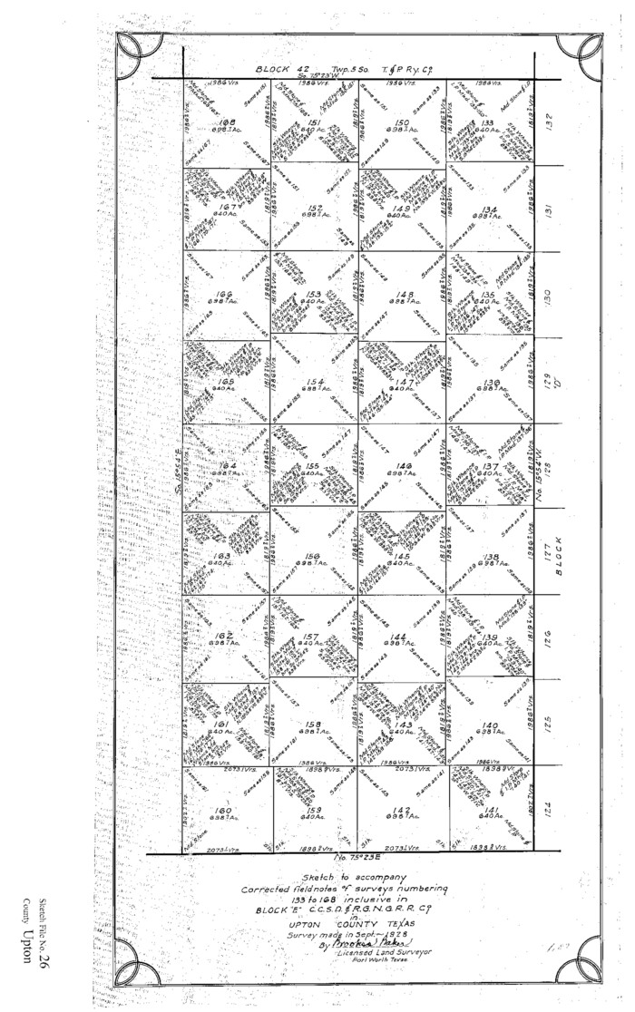

Print $20.00
- Digital $50.00
Upton County Sketch File 26
1928
Size 22.6 x 14.2 inches
Map/Doc 12520
Comanche County Boundary File 2b
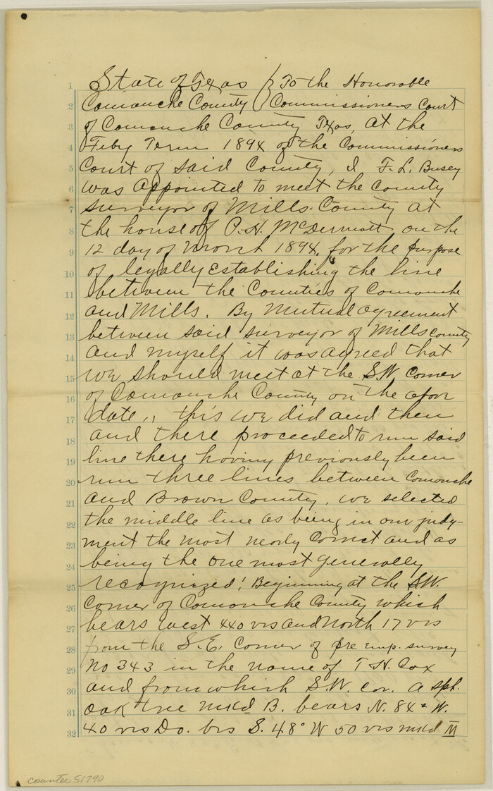

Print $12.00
- Digital $50.00
Comanche County Boundary File 2b
Size 14.3 x 8.9 inches
Map/Doc 51790
Part of the boundary between the Republic of Texas and the United States, North of Sabine River, from the 72nd Mile Mound to Red River (Sheet No. 3)


Print $20.00
- Digital $50.00
Part of the boundary between the Republic of Texas and the United States, North of Sabine River, from the 72nd Mile Mound to Red River (Sheet No. 3)
1842
Size 33.8 x 26.2 inches
Map/Doc 4670
Map of sections 1 & 2 of a survey of Padre Island made for the Office of the Attorney General of the State of Texas


Print $20.00
- Digital $50.00
Map of sections 1 & 2 of a survey of Padre Island made for the Office of the Attorney General of the State of Texas
1941
Size 40.8 x 39.8 inches
Map/Doc 2258
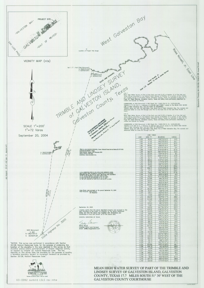
Galveston County NRC Article 33.136 Sketch 28

Print $26.00
- Digital $50.00
Galveston County NRC Article 33.136 Sketch 28
2004
Size 35.3 x 25.0 inches
Map/Doc 82909
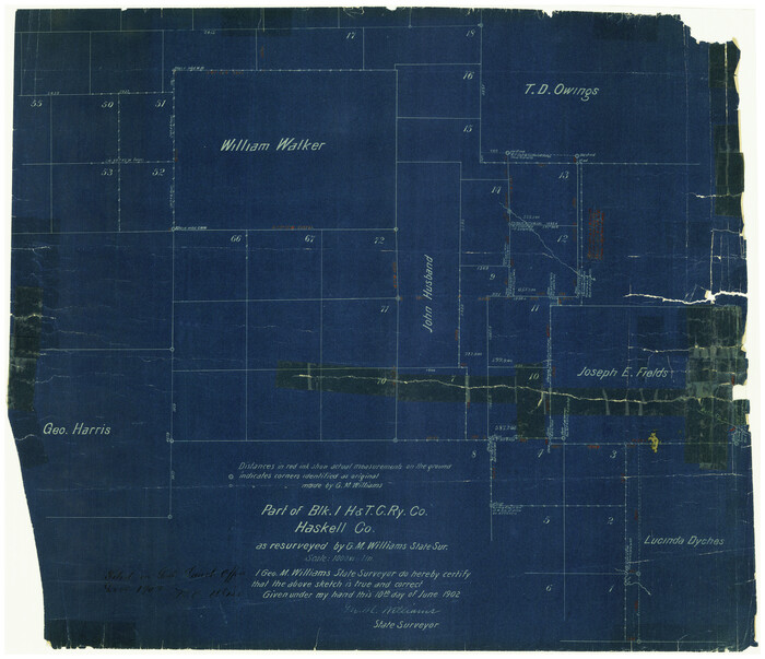
Haskell County Rolled Sketch 3

Print $20.00
- Digital $50.00
Haskell County Rolled Sketch 3
1902
Size 18.1 x 21.0 inches
Map/Doc 6164
Wise County Sketch File 54


Print $22.00
- Digital $50.00
Wise County Sketch File 54
2012
Size 11.0 x 8.5 inches
Map/Doc 93553
St. Louis, Brownsville & Mexico Railway Location Map from Mile 100 to Mile 120


Print $40.00
- Digital $50.00
St. Louis, Brownsville & Mexico Railway Location Map from Mile 100 to Mile 120
1905
Size 20.0 x 61.2 inches
Map/Doc 64167
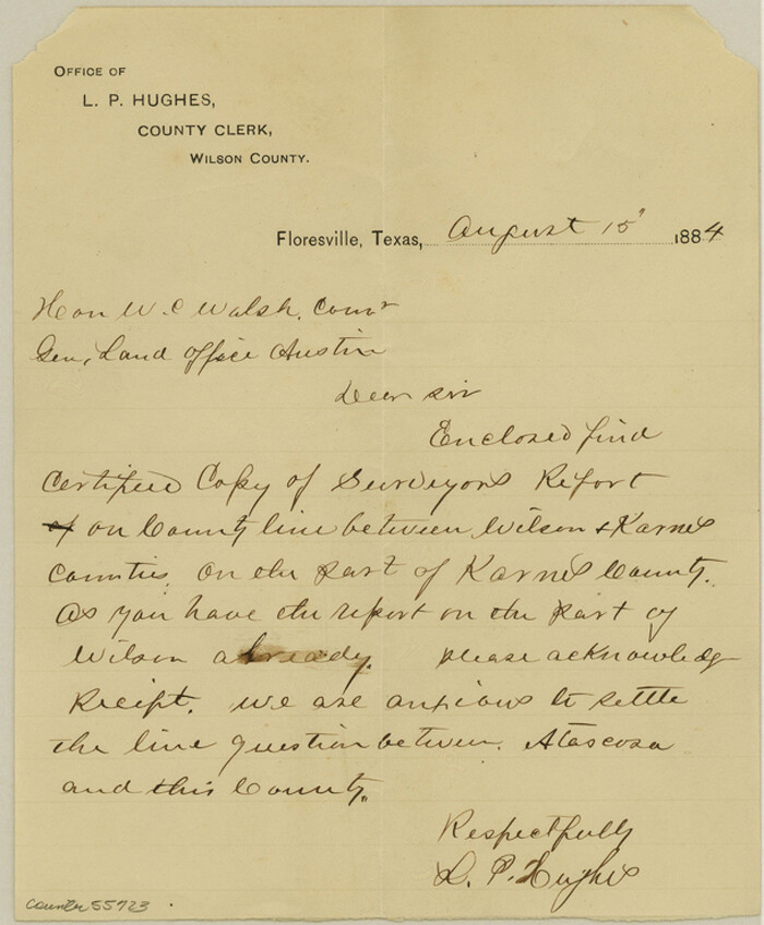
Karnes County Boundary File 5b

Print $78.00
- Digital $50.00
Karnes County Boundary File 5b
Size 7.4 x 6.1 inches
Map/Doc 55723
St. L. S-W. Ry. of Texas Map of Lufkin Branch in Cherokee County Texas


Print $40.00
- Digital $50.00
St. L. S-W. Ry. of Texas Map of Lufkin Branch in Cherokee County Texas
1912
Size 23.4 x 121.6 inches
Map/Doc 64016
You may also like
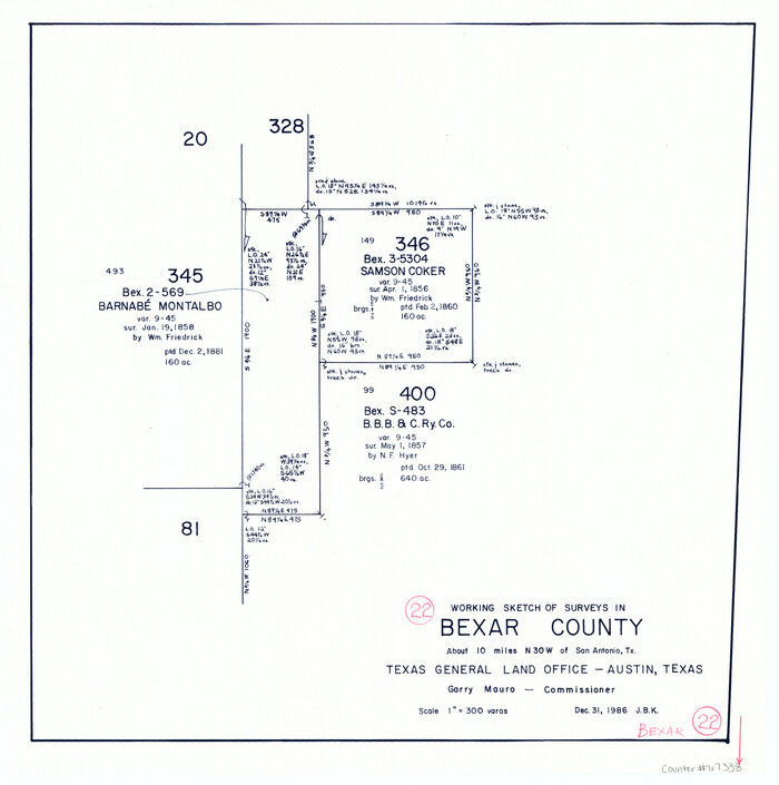
Bexar County Working Sketch 22

Print $20.00
- Digital $50.00
Bexar County Working Sketch 22
1986
Size 16.3 x 16.1 inches
Map/Doc 67338
Right of Way and Track Map International & Gt. Northern Ry. operated by the International & Gt. Northern Ry. Co., Gulf Division, Columbia Branch


Print $40.00
- Digital $50.00
Right of Way and Track Map International & Gt. Northern Ry. operated by the International & Gt. Northern Ry. Co., Gulf Division, Columbia Branch
1917
Size 25.1 x 57.0 inches
Map/Doc 64600
Jasper County Rolled Sketch 1
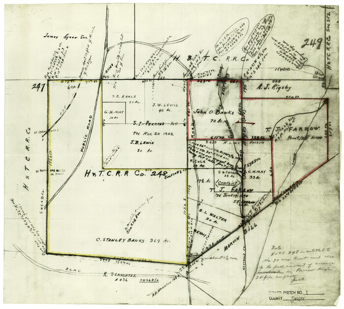

Print $20.00
- Digital $50.00
Jasper County Rolled Sketch 1
Size 17.0 x 18.9 inches
Map/Doc 6346
Galveston to Rio Grande


Print $20.00
- Digital $50.00
Galveston to Rio Grande
1961
Size 44.4 x 37.2 inches
Map/Doc 69954
University Land Field Notes for Blocks 39, 41, 42, 44, 45, 46, 47, 50, and 51 in Crockett County, Blocks 38 and 40 in Crockett and Irion Counties, and Blocks 48 and 49 in Crockett and Reagan Counties, and Block 43 in Crockett, Irion, and Reagan Counties


University Land Field Notes for Blocks 39, 41, 42, 44, 45, 46, 47, 50, and 51 in Crockett County, Blocks 38 and 40 in Crockett and Irion Counties, and Blocks 48 and 49 in Crockett and Reagan Counties, and Block 43 in Crockett, Irion, and Reagan Counties
Map/Doc 81718
Wilbarger County Aerial Photograph Index Sheet 1
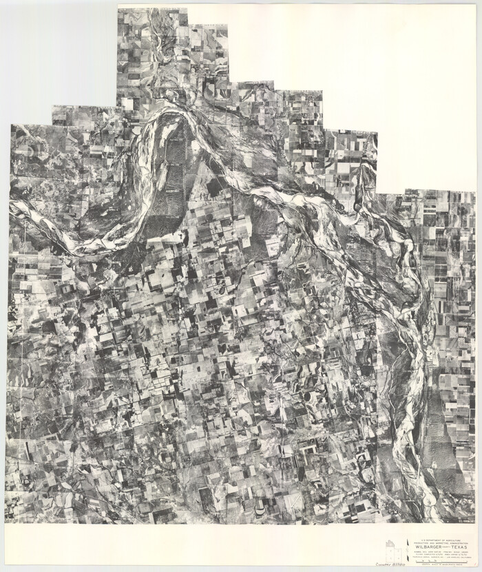

Print $20.00
- Digital $50.00
Wilbarger County Aerial Photograph Index Sheet 1
1950
Size 22.4 x 18.9 inches
Map/Doc 83750
Pecos County Working Sketch 52
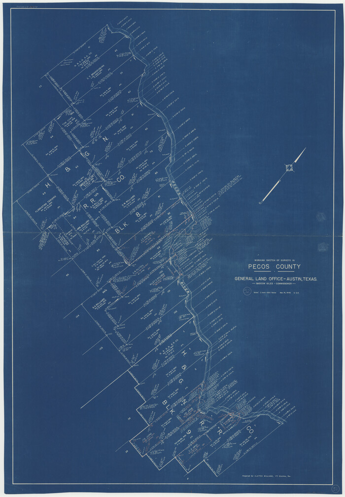

Print $20.00
- Digital $50.00
Pecos County Working Sketch 52
1948
Size 46.8 x 32.5 inches
Map/Doc 71524
Atascosa County Rolled Sketch 22
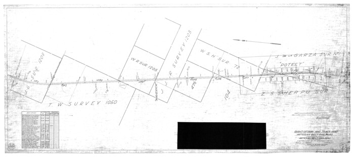

Print $40.00
- Digital $50.00
Atascosa County Rolled Sketch 22
1917
Size 25.9 x 57.4 inches
Map/Doc 8920
Plat of Littlefield, Texas


Print $20.00
- Digital $50.00
Plat of Littlefield, Texas
Size 23.6 x 19.3 inches
Map/Doc 90990
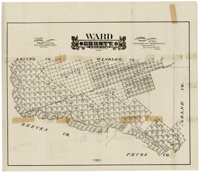
Ward County State of Texas

Print $20.00
- Digital $50.00
Ward County State of Texas
1888
Size 22.6 x 26.0 inches
Map/Doc 4641
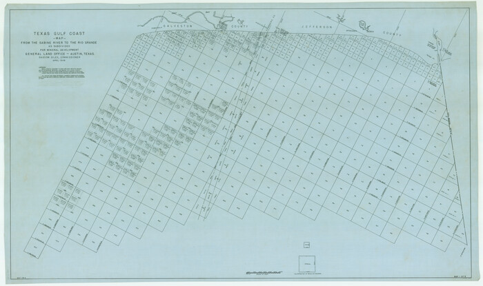
Texas Gulf Coast from Sabine River to Rio Grande As Subdivided for Mineral Development - Obsolete

Print $40.00
- Digital $50.00
Texas Gulf Coast from Sabine River to Rio Grande As Subdivided for Mineral Development - Obsolete
1948
Size 42.0 x 70.8 inches
Map/Doc 2946
![60304, [Map of Texas showing Counties, County Seats, Rivers and Location of State Boundary Line Markers], General Map Collection](https://historictexasmaps.com/wmedia_w1800h1800/maps/60304.tif.jpg)

