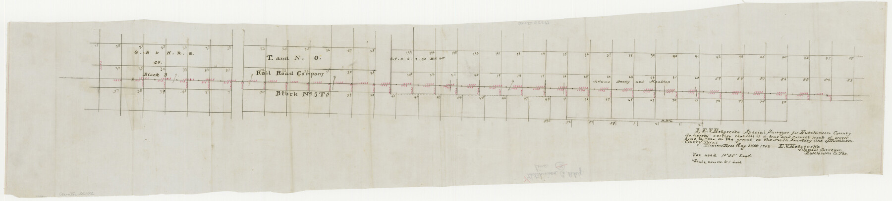
Hutchinson County Boundary File 1
-
Map/Doc
55292
-
Collection
General Map Collection
-
Counties
Hutchinson
-
Subjects
County Boundaries
-
Height x Width
8.7 x 38.3 inches
22.1 x 97.3 cm
Part of: General Map Collection
Flight Mission No. DAH-9M, Frame 162, Orange County

Print $20.00
- Digital $50.00
Flight Mission No. DAH-9M, Frame 162, Orange County
1953
Size 18.6 x 22.3 inches
Map/Doc 86861
Hall County Sketch File C

Print $20.00
- Digital $50.00
Hall County Sketch File C
1905
Size 13.7 x 32.8 inches
Map/Doc 11614
McLennan County Sketch File 1a

Print $4.00
- Digital $50.00
McLennan County Sketch File 1a
1872
Size 8.0 x 12.2 inches
Map/Doc 31226
Coke County Sketch File 22

Print $20.00
- Digital $50.00
Coke County Sketch File 22
1923
Size 22.1 x 27.8 inches
Map/Doc 11111
Val Verde County Sketch File 22

Print $20.00
- Digital $50.00
Val Verde County Sketch File 22
Size 14.3 x 22.3 inches
Map/Doc 12571
Flight Mission No. CUG-3P, Frame 40, Kleberg County

Print $20.00
- Digital $50.00
Flight Mission No. CUG-3P, Frame 40, Kleberg County
1956
Size 18.5 x 22.2 inches
Map/Doc 86245
Loving County Working Sketch 13

Print $40.00
- Digital $50.00
Loving County Working Sketch 13
1957
Size 48.4 x 34.6 inches
Map/Doc 70646
Bastrop County

Print $20.00
- Digital $50.00
Bastrop County
1917
Size 45.5 x 40.8 inches
Map/Doc 66711
Kimble County Rolled Sketch 42

Print $20.00
- Digital $50.00
Kimble County Rolled Sketch 42
1995
Size 37.7 x 47.8 inches
Map/Doc 9341
Dallam County Sketch File 2

Print $260.00
- Digital $50.00
Dallam County Sketch File 2
1886
Size 29.9 x 17.4 inches
Map/Doc 11278
Ward County Working Sketch 54

Print $40.00
- Digital $50.00
Ward County Working Sketch 54
1978
Size 24.1 x 48.8 inches
Map/Doc 72360
Winkler County Rolled Sketch 4

Print $40.00
- Digital $50.00
Winkler County Rolled Sketch 4
1927
Size 59.1 x 39.5 inches
Map/Doc 10147
You may also like
Flight Mission No. CRC-5R, Frame 35, Chambers County

Print $20.00
- Digital $50.00
Flight Mission No. CRC-5R, Frame 35, Chambers County
1956
Size 18.5 x 22.3 inches
Map/Doc 84954
Flight Mission No. CGI-4N, Frame 161, Cameron County

Print $20.00
- Digital $50.00
Flight Mission No. CGI-4N, Frame 161, Cameron County
1955
Size 18.7 x 22.4 inches
Map/Doc 84669
The Republic County of Brazos. December 29, 1845

Print $20.00
The Republic County of Brazos. December 29, 1845
2020
Size 20.6 x 21.7 inches
Map/Doc 96117
Orange County NRC Article 33.136 Location Key Sheet

Print $20.00
- Digital $50.00
Orange County NRC Article 33.136 Location Key Sheet
1974
Size 27.0 x 23.0 inches
Map/Doc 87911
Map of Jones County

Print $20.00
- Digital $50.00
Map of Jones County
1898
Size 41.9 x 39.8 inches
Map/Doc 4996
[I. & G. N. Block 1, sections 64, 65, 67-71 and 545 along river]
![91602, [I. & G. N. Block 1, sections 64, 65, 67-71 and 545 along river], Twichell Survey Records](https://historictexasmaps.com/wmedia_w700/maps/91602-1.tif.jpg)
Print $2.00
- Digital $50.00
[I. & G. N. Block 1, sections 64, 65, 67-71 and 545 along river]
Size 8.8 x 14.3 inches
Map/Doc 91602
Hudspeth County Rolled Sketch 37

Print $20.00
- Digital $50.00
Hudspeth County Rolled Sketch 37
1938
Size 23.3 x 29.8 inches
Map/Doc 6250
Terry County Boundary File 4

Print $64.00
- Digital $50.00
Terry County Boundary File 4
Size 14.5 x 8.9 inches
Map/Doc 59236
Clay County Sketch File 46

Print $20.00
- Digital $50.00
Clay County Sketch File 46
1890
Size 18.9 x 19.3 inches
Map/Doc 11098
El Paso County Rolled Sketch 43A

Print $20.00
- Digital $50.00
El Paso County Rolled Sketch 43A
Size 23.2 x 22.6 inches
Map/Doc 5829
Colorado County Working Sketch 18

Print $20.00
- Digital $50.00
Colorado County Working Sketch 18
1957
Size 31.2 x 37.3 inches
Map/Doc 68118
San Jacinto County Working Sketch 42b

Print $3.00
- Digital $50.00
San Jacinto County Working Sketch 42b
1979
Size 10.7 x 14.4 inches
Map/Doc 63756