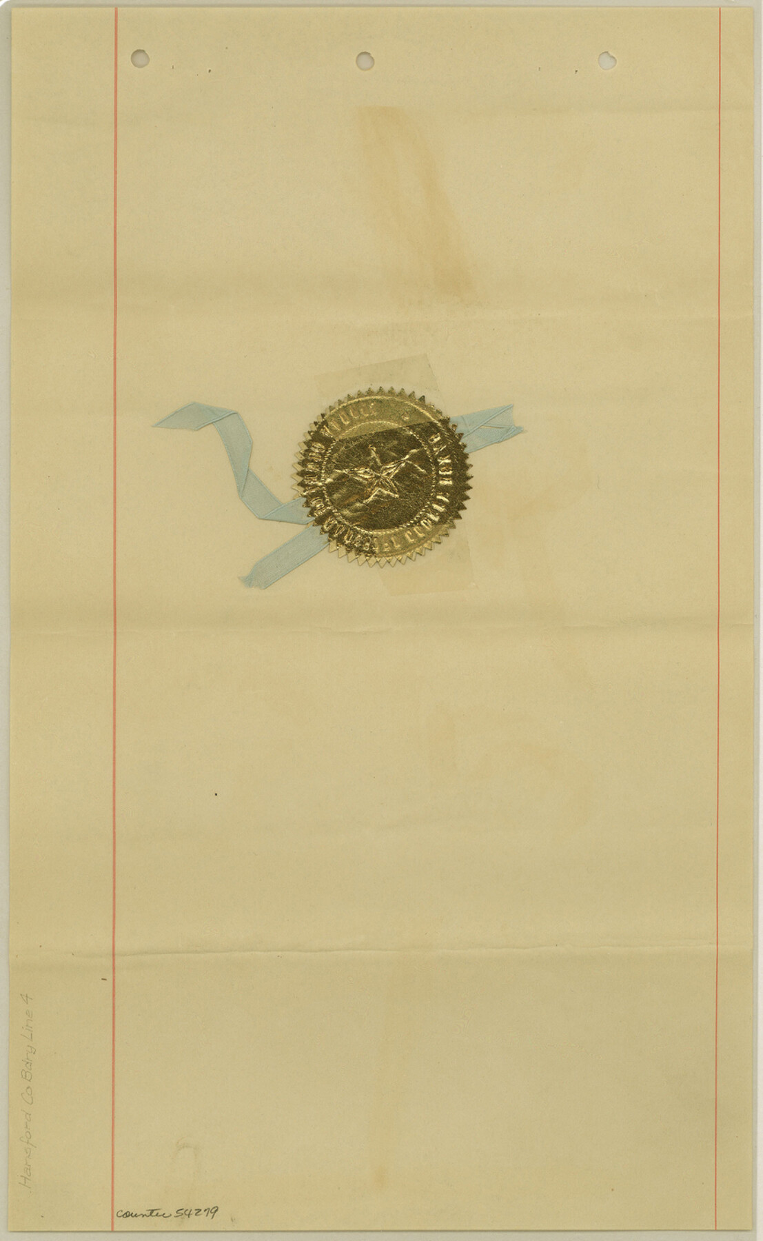
Hansford County Boundary File 4
Ochiltree-Hansford County Boundary Copy of Field notes and Court Order from Hansford County
-
Map/Doc
54279
-
Collection
General Map Collection
-
Counties
Hansford
-
Subjects
County Boundaries
-
Height x Width
14.1 x 8.7 inches
35.8 x 22.1 cm
Part of: General Map Collection
Dawson County Rolled Sketch 6

Print $20.00
- Digital $50.00
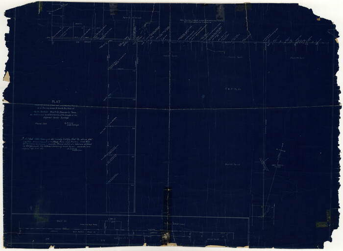
Dawson County Rolled Sketch 6
1913
Size 22.0 x 30.1 inches
Map/Doc 8771
Panola County

Print $20.00
- Digital $50.00
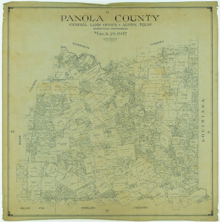
Panola County
1947
Size 40.8 x 40.3 inches
Map/Doc 66969
St. L. S-W. Ry. of Texas Map of Lufkin Branch in Cherokee County Texas


Print $20.00
- Digital $50.00
St. L. S-W. Ry. of Texas Map of Lufkin Branch in Cherokee County Texas
1912
Size 22.0 x 17.8 inches
Map/Doc 64790
Val Verde County Working Sketch 82

Print $20.00
- Digital $50.00
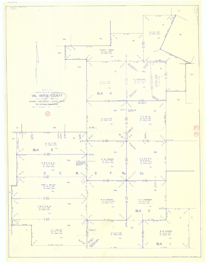
Val Verde County Working Sketch 82
1973
Size 42.1 x 33.1 inches
Map/Doc 72217
Nueces County Rolled Sketch 13
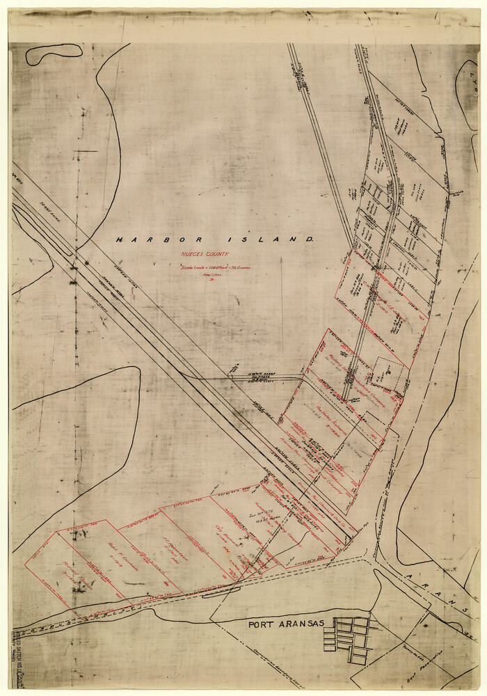

Print $20.00
- Digital $50.00
Nueces County Rolled Sketch 13
1930
Size 26.5 x 18.5 inches
Map/Doc 6869
Garza County Boundary File 1
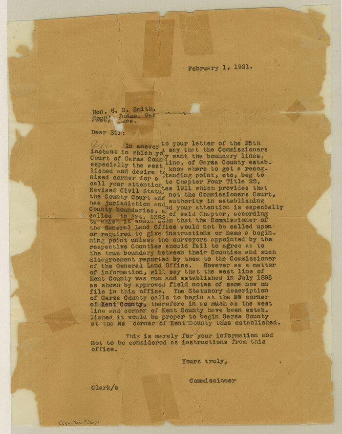

Print $4.00
- Digital $50.00
Garza County Boundary File 1
Size 11.4 x 9.0 inches
Map/Doc 53671
[William Steele Survey near Copano Bay]
![60284, [William Steele Survey near Copano Bay], General Map Collection](https://historictexasmaps.com/wmedia_w700/maps/60284-1.tif.jpg)
![60284, [William Steele Survey near Copano Bay], General Map Collection](https://historictexasmaps.com/wmedia_w700/maps/60284-1.tif.jpg)
Print $3.00
- Digital $50.00
[William Steele Survey near Copano Bay]
1927
Size 15.5 x 9.5 inches
Map/Doc 60284
Current Miscellaneous File 84
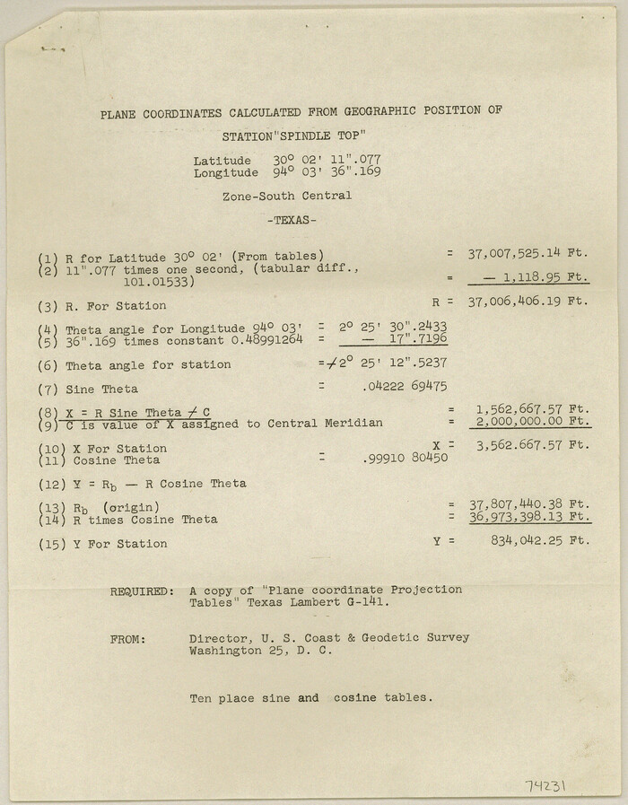

Print $10.00
- Digital $50.00
Current Miscellaneous File 84
1954
Size 11.2 x 8.8 inches
Map/Doc 74231
McMullen County Sketch File 2

Print $22.00
- Digital $50.00
McMullen County Sketch File 2
1849
Size 8.3 x 12.4 inches
Map/Doc 31337
Culberson County Working Sketch 23


Print $20.00
- Digital $50.00
Culberson County Working Sketch 23
1945
Size 38.3 x 44.7 inches
Map/Doc 68476
Lay's Map of the United States


Print $40.00
- Digital $50.00
Lay's Map of the United States
Size 55.0 x 61.7 inches
Map/Doc 95693
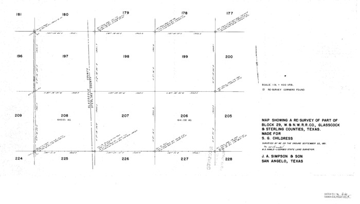
Glasscock County Sketch File 26

Print $20.00
- Digital $50.00
Glasscock County Sketch File 26
1951
Size 16.1 x 28.3 inches
Map/Doc 11567
You may also like
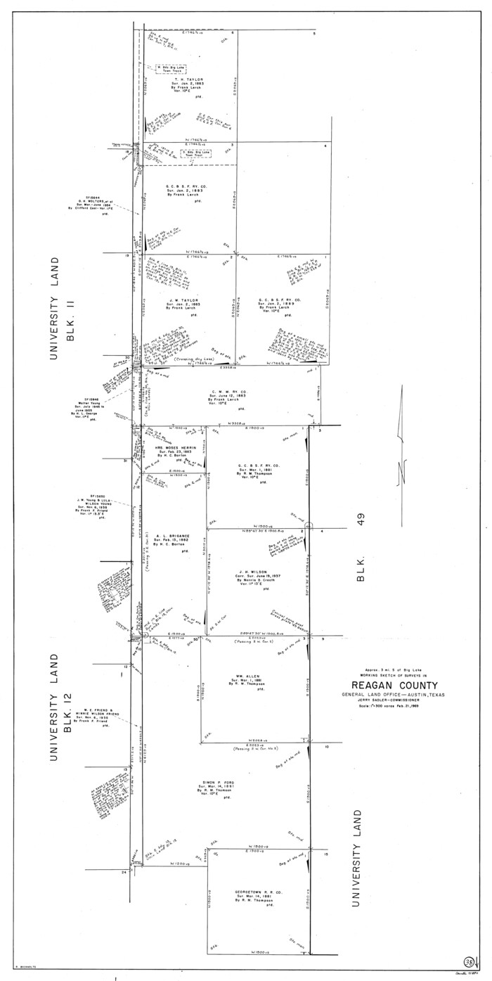
Reagan County Working Sketch 38

Print $40.00
- Digital $50.00
Reagan County Working Sketch 38
1969
Size 60.8 x 30.5 inches
Map/Doc 71880
Flight Mission No. BQY-15M, Frame 16, Harris County


Print $20.00
- Digital $50.00
Flight Mission No. BQY-15M, Frame 16, Harris County
1953
Size 18.6 x 22.4 inches
Map/Doc 85314
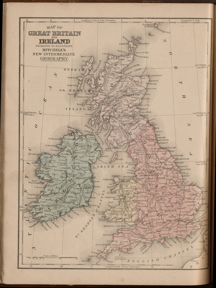
Map of Great Britain and Ireland engraved to illustrate Mitchell's new intermediate geography

Print $20.00
- Digital $50.00
Map of Great Britain and Ireland engraved to illustrate Mitchell's new intermediate geography
1885
Size 12.2 x 9.0 inches
Map/Doc 93527
Burnham Townsite at Justiceburg


Print $20.00
- Digital $50.00
Burnham Townsite at Justiceburg
Size 36.6 x 29.0 inches
Map/Doc 92694
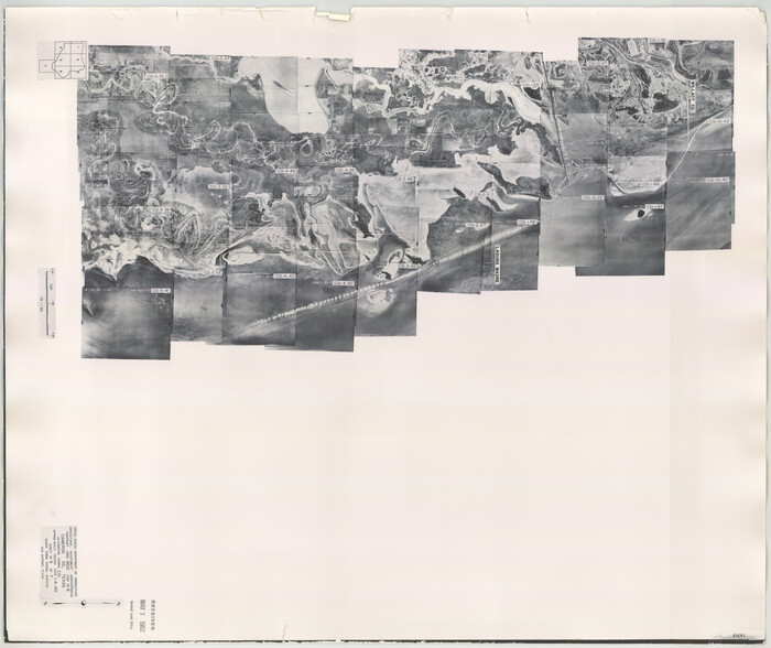
Cameron County Aerial Photograph Index Sheet 5

Print $20.00
- Digital $50.00
Cameron County Aerial Photograph Index Sheet 5
1940
Size 20.4 x 24.3 inches
Map/Doc 83681
Orange County Sketch File 8
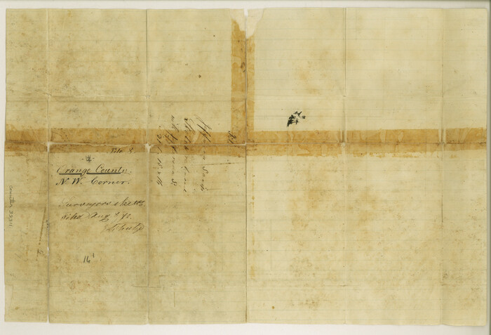

Print $6.00
- Digital $50.00
Orange County Sketch File 8
Size 11.0 x 16.1 inches
Map/Doc 33311
Flight Mission No. BQY-4M, Frame 44, Harris County
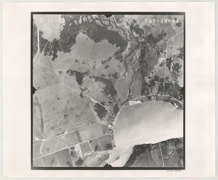

Print $20.00
- Digital $50.00
Flight Mission No. BQY-4M, Frame 44, Harris County
1953
Size 18.5 x 22.4 inches
Map/Doc 85259
Henderson County Sketch File 8
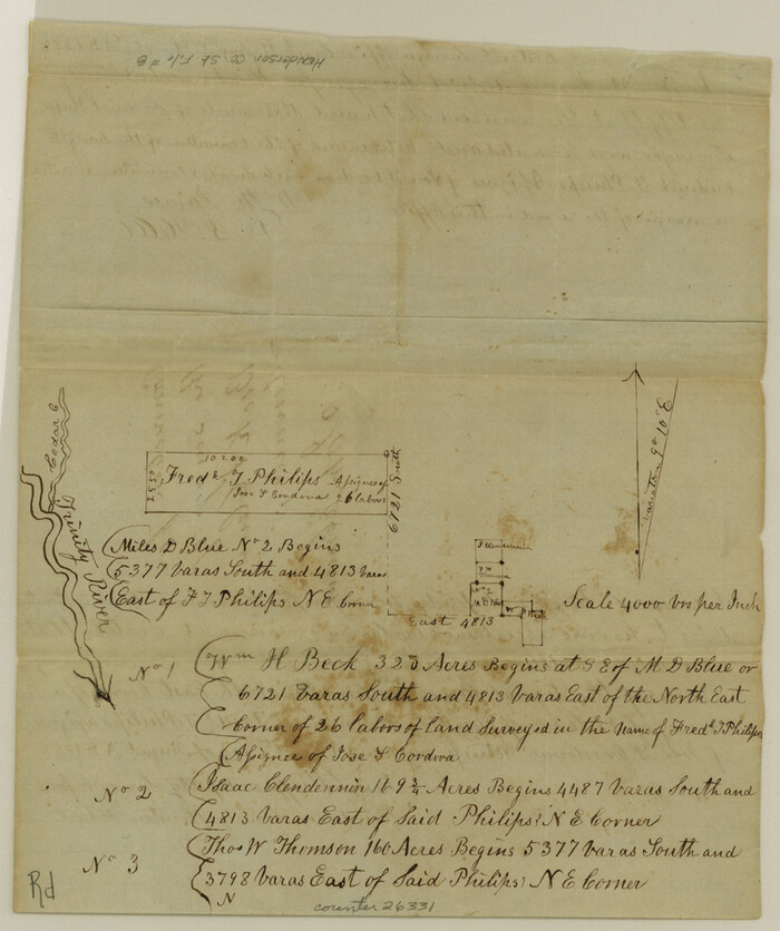

Print $6.00
- Digital $50.00
Henderson County Sketch File 8
1853
Size 9.8 x 8.2 inches
Map/Doc 26331
Calhoun County Rolled Sketch 29B


Print $20.00
- Digital $50.00
Calhoun County Rolled Sketch 29B
Size 43.4 x 45.0 inches
Map/Doc 8558
[Blocks B, T, and 1]
![90972, [Blocks B, T, and 1], Twichell Survey Records](https://historictexasmaps.com/wmedia_w700/maps/90972-1.tif.jpg)
![90972, [Blocks B, T, and 1], Twichell Survey Records](https://historictexasmaps.com/wmedia_w700/maps/90972-1.tif.jpg)
Print $2.00
- Digital $50.00
[Blocks B, T, and 1]
Size 9.2 x 13.7 inches
Map/Doc 90972
Shackelford County Working Sketch 14
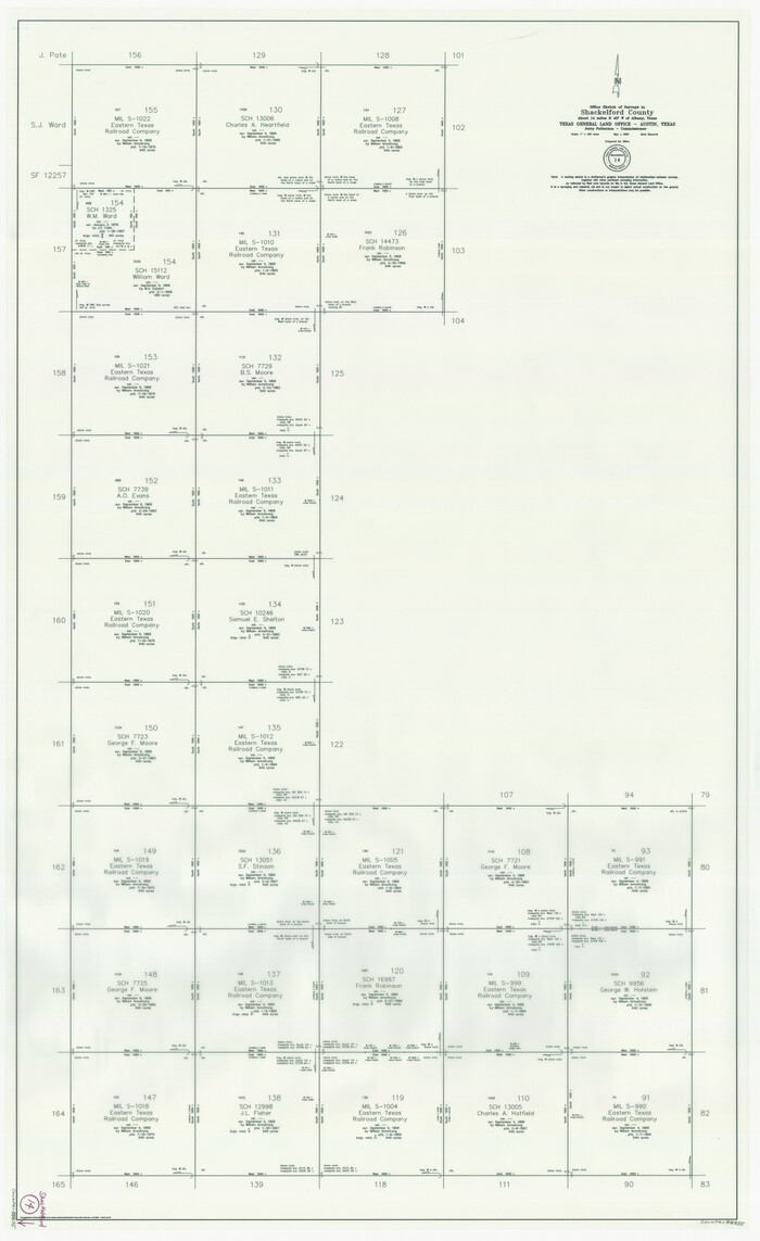

Print $20.00
- Digital $50.00
Shackelford County Working Sketch 14
2008
Size 47.7 x 29.2 inches
Map/Doc 88835
Hunt County Sketch File 12


Print $40.00
- Digital $50.00
Hunt County Sketch File 12
1852
Size 12.7 x 16.0 inches
Map/Doc 27104
