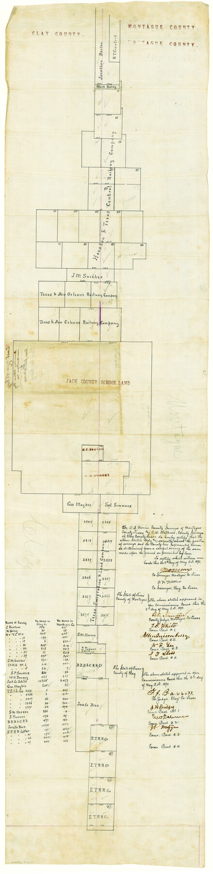
Clay County Boundary File 14
Boundary between Clay and Montague Cos.
-
Map/Doc
51416
-
Collection
General Map Collection
-
Counties
Clay
-
Subjects
County Boundaries
-
Height x Width
63.1 x 15.4 inches
160.3 x 39.1 cm
Part of: General Map Collection
Anderson County Sketch File 11

Print $6.00
- Digital $50.00
Anderson County Sketch File 11
1853
Size 8.7 x 6.6 inches
Map/Doc 12765
Rio Grande - North Extension Raymondville Sheet

Print $40.00
- Digital $50.00
Rio Grande - North Extension Raymondville Sheet
1937
Size 16.4 x 56.9 inches
Map/Doc 65104
Karnes County Working Sketch 4

Print $20.00
- Digital $50.00
Karnes County Working Sketch 4
1960
Size 29.3 x 38.8 inches
Map/Doc 66652
Gaines County Rolled Sketch 8

Print $20.00
- Digital $50.00
Gaines County Rolled Sketch 8
Size 14.6 x 20.9 inches
Map/Doc 5928
Flight Mission No. CGI-3N, Frame 172, Cameron County

Print $20.00
- Digital $50.00
Flight Mission No. CGI-3N, Frame 172, Cameron County
1954
Size 18.7 x 22.3 inches
Map/Doc 84636
Lampasas County Working Sketch Graphic Index

Print $20.00
- Digital $50.00
Lampasas County Working Sketch Graphic Index
1972
Size 34.6 x 42.0 inches
Map/Doc 76614
Hardin County Sketch File 3a

Print $12.00
- Digital $50.00
Hardin County Sketch File 3a
1858
Size 10.0 x 7.9 inches
Map/Doc 25088
Collin County Boundary File 18b

Print $24.00
- Digital $50.00
Collin County Boundary File 18b
Size 12.7 x 8.1 inches
Map/Doc 51721
Kimble County Sketch File 28

Print $20.00
- Digital $50.00
Kimble County Sketch File 28
Size 23.3 x 17.8 inches
Map/Doc 11927
Crockett County Working Sketch 84

Print $40.00
- Digital $50.00
Crockett County Working Sketch 84
1976
Size 49.4 x 26.2 inches
Map/Doc 68417
Texas Intracoastal Waterway - Stover Point to Port Brownsville including Brazos Santiago

Print $20.00
- Digital $50.00
Texas Intracoastal Waterway - Stover Point to Port Brownsville including Brazos Santiago
1961
Size 27.2 x 38.9 inches
Map/Doc 73519
Sketch of Sabine Lake and Pass

Print $20.00
- Digital $50.00
Sketch of Sabine Lake and Pass
1840
Size 24.8 x 18.2 inches
Map/Doc 72725
You may also like
San Jacinto County Sketch File 12a

Print $20.00
San Jacinto County Sketch File 12a
Size 12.8 x 14.3 inches
Map/Doc 35722
Sketch Showing Block 142, Original Town, Survey 1, Block O

Print $20.00
- Digital $50.00
Sketch Showing Block 142, Original Town, Survey 1, Block O
Size 23.0 x 18.0 inches
Map/Doc 92782
[Texas & Pacific Railway through Callahan County]
![64235, [Texas & Pacific Railway through Callahan County], General Map Collection](https://historictexasmaps.com/wmedia_w700/maps/64235.tif.jpg)
Print $20.00
- Digital $50.00
[Texas & Pacific Railway through Callahan County]
1918
Size 23.2 x 8.3 inches
Map/Doc 64235
DeWitt County Boundary File 3

Print $17.00
- Digital $50.00
DeWitt County Boundary File 3
Size 12.7 x 8.3 inches
Map/Doc 52514
Map of the European Settlements in Mexico or New Spain and the West Indies

Print $20.00
- Digital $50.00
Map of the European Settlements in Mexico or New Spain and the West Indies
1783
Size 14.1 x 21.1 inches
Map/Doc 93643
Bastrop County Boundary File 6

Print $20.00
- Digital $50.00
Bastrop County Boundary File 6
Size 8.8 x 7.9 inches
Map/Doc 50337
Engineer map showing engineer information at 23 O'Clock 23 Oct. 1918 drawn under direction of Col. W.A. Mitchell - Verso

Print $20.00
Engineer map showing engineer information at 23 O'Clock 23 Oct. 1918 drawn under direction of Col. W.A. Mitchell - Verso
1918
Size 19.7 x 12.6 inches
Map/Doc 94128
Current Miscellaneous File 13

Print $20.00
- Digital $50.00
Current Miscellaneous File 13
Size 16.2 x 21.6 inches
Map/Doc 73820
Township 4 South Ranges 12 and 13 West, South Western District, Louisiana

Print $20.00
- Digital $50.00
Township 4 South Ranges 12 and 13 West, South Western District, Louisiana
1857
Size 18.6 x 24.2 inches
Map/Doc 65891
From Citizens of Austin and Harris Counties Living in What Was to Become Fort Bend County for the Creation of a New County (Unnamed), Undated

Print $20.00
From Citizens of Austin and Harris Counties Living in What Was to Become Fort Bend County for the Creation of a New County (Unnamed), Undated
2020
Size 22.6 x 21.7 inches
Map/Doc 96399
Gaines County Working Sketch 1

Print $40.00
- Digital $50.00
Gaines County Working Sketch 1
1937
Size 22.7 x 53.1 inches
Map/Doc 69301
Crockett County Rolled Sketch 26B

Print $20.00
- Digital $50.00
Crockett County Rolled Sketch 26B
Size 33.1 x 40.1 inches
Map/Doc 8694