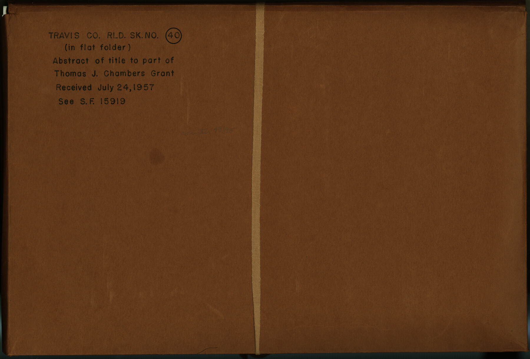
Travis County Rolled Sketch 40
Abstract of Title to part of Thomas J. Chambers grant
-
Map/Doc
49195
-
Collection
General Map Collection
-
Object Dates
1957/7/24 (File Date)
1953/8/14 (Creation Date)
-
People and Organizations
Photo Record Abstract & Title Co., Inc. (Publisher)
-
Counties
Travis
-
Subjects
Surveying Rolled Sketch
-
Height x Width
10.4 x 15.4 inches
26.4 x 39.1 cm
-
Medium
paper, print
-
Comments
See SF-15919
Part of: General Map Collection
[Galveston, Harrisburg & San Antonio through El Paso County]
![64001, [Galveston, Harrisburg & San Antonio through El Paso County], General Map Collection](https://historictexasmaps.com/wmedia_w700/maps/64001.tif.jpg)
Print $20.00
- Digital $50.00
[Galveston, Harrisburg & San Antonio through El Paso County]
1907
Size 13.6 x 33.7 inches
Map/Doc 64001
San Jacinto County Working Sketch 4

Print $20.00
- Digital $50.00
San Jacinto County Working Sketch 4
1934
Size 16.2 x 20.8 inches
Map/Doc 63717
[Pacific & Santa Fe Railroad through Fort Stockton]
![64770, [Pacific & Santa Fe Railroad through Fort Stockton], General Map Collection](https://historictexasmaps.com/wmedia_w700/maps/64770.tif.jpg)
Print $20.00
- Digital $50.00
[Pacific & Santa Fe Railroad through Fort Stockton]
Size 18.4 x 20.5 inches
Map/Doc 64770
Jim Hogg County Rolled Sketch 2

Print $20.00
- Digital $50.00
Jim Hogg County Rolled Sketch 2
Size 27.9 x 32.7 inches
Map/Doc 6438
Crane County Rolled Sketch 19

Print $20.00
- Digital $50.00
Crane County Rolled Sketch 19
1926
Size 26.4 x 28.3 inches
Map/Doc 5577
Map of The Surveyed Part of Peters Colony Texas

Print $40.00
- Digital $50.00
Map of The Surveyed Part of Peters Colony Texas
1854
Size 53.7 x 32.0 inches
Map/Doc 83007
Starr County Rolled Sketch 22

Print $20.00
- Digital $50.00
Starr County Rolled Sketch 22
1919
Size 37.3 x 22.3 inches
Map/Doc 7806
Young County Sketch File 17

Print $20.00
- Digital $50.00
Young County Sketch File 17
Size 18.5 x 24.3 inches
Map/Doc 12713
Travis County Sketch File 55

Print $20.00
- Digital $50.00
Travis County Sketch File 55
1945
Size 27.3 x 14.5 inches
Map/Doc 12471
San Patricio County Working Sketch 26

Print $20.00
- Digital $50.00
San Patricio County Working Sketch 26
1986
Size 29.0 x 34.4 inches
Map/Doc 63788
Real County Sketch File 15

Print $8.00
- Digital $50.00
Real County Sketch File 15
1933
Size 14.3 x 8.6 inches
Map/Doc 35069
Flight Mission No. DQN-1K, Frame 65, Calhoun County

Print $20.00
- Digital $50.00
Flight Mission No. DQN-1K, Frame 65, Calhoun County
1953
Size 18.5 x 22.2 inches
Map/Doc 84152
You may also like
University of Texas System University Lands

Print $20.00
- Digital $50.00
University of Texas System University Lands
1937
Size 23.3 x 17.6 inches
Map/Doc 93237
Flight Mission No. BQR-12K, Frame 46, Brazoria County

Print $20.00
- Digital $50.00
Flight Mission No. BQR-12K, Frame 46, Brazoria County
1952
Size 18.8 x 22.4 inches
Map/Doc 84061

Foard County Boundary File 4a

Print $40.00
- Digital $50.00
Foard County Boundary File 4a
Size 16.9 x 45.4 inches
Map/Doc 53522
Flight Mission No. CRC-2R, Frame 197, Chambers County

Print $20.00
- Digital $50.00
Flight Mission No. CRC-2R, Frame 197, Chambers County
1956
Size 18.7 x 22.5 inches
Map/Doc 84775
Hopkins County Sketch File 24

Print $4.00
- Digital $50.00
Hopkins County Sketch File 24
1871
Size 12.8 x 8.4 inches
Map/Doc 26734
Kenedy County Rolled Sketch 4A

Print $40.00
- Digital $50.00
Kenedy County Rolled Sketch 4A
1904
Size 40.0 x 56.5 inches
Map/Doc 9332
Crockett County Rolled Sketch 62

Print $20.00
- Digital $50.00
Crockett County Rolled Sketch 62
1947
Size 27.0 x 38.1 inches
Map/Doc 5605
Comanche County Working Sketch 16

Print $20.00
- Digital $50.00
Comanche County Working Sketch 16
1969
Size 16.5 x 23.8 inches
Map/Doc 68150

Potter County

Print $20.00
- Digital $50.00
Potter County
1960
Size 42.6 x 34.6 inches
Map/Doc 66985
[Overlay for Fractional Township No. 7 South Range No. 17 East of the Indian Meridian, Indian Territory]
![75230, [Overlay for Fractional Township No. 7 South Range No. 17 East of the Indian Meridian, Indian Territory], General Map Collection](https://historictexasmaps.com/wmedia_w700/maps/75230.tif.jpg)
Print $3.00
- Digital $50.00
[Overlay for Fractional Township No. 7 South Range No. 17 East of the Indian Meridian, Indian Territory]
Size 11.2 x 11.7 inches
Map/Doc 75230