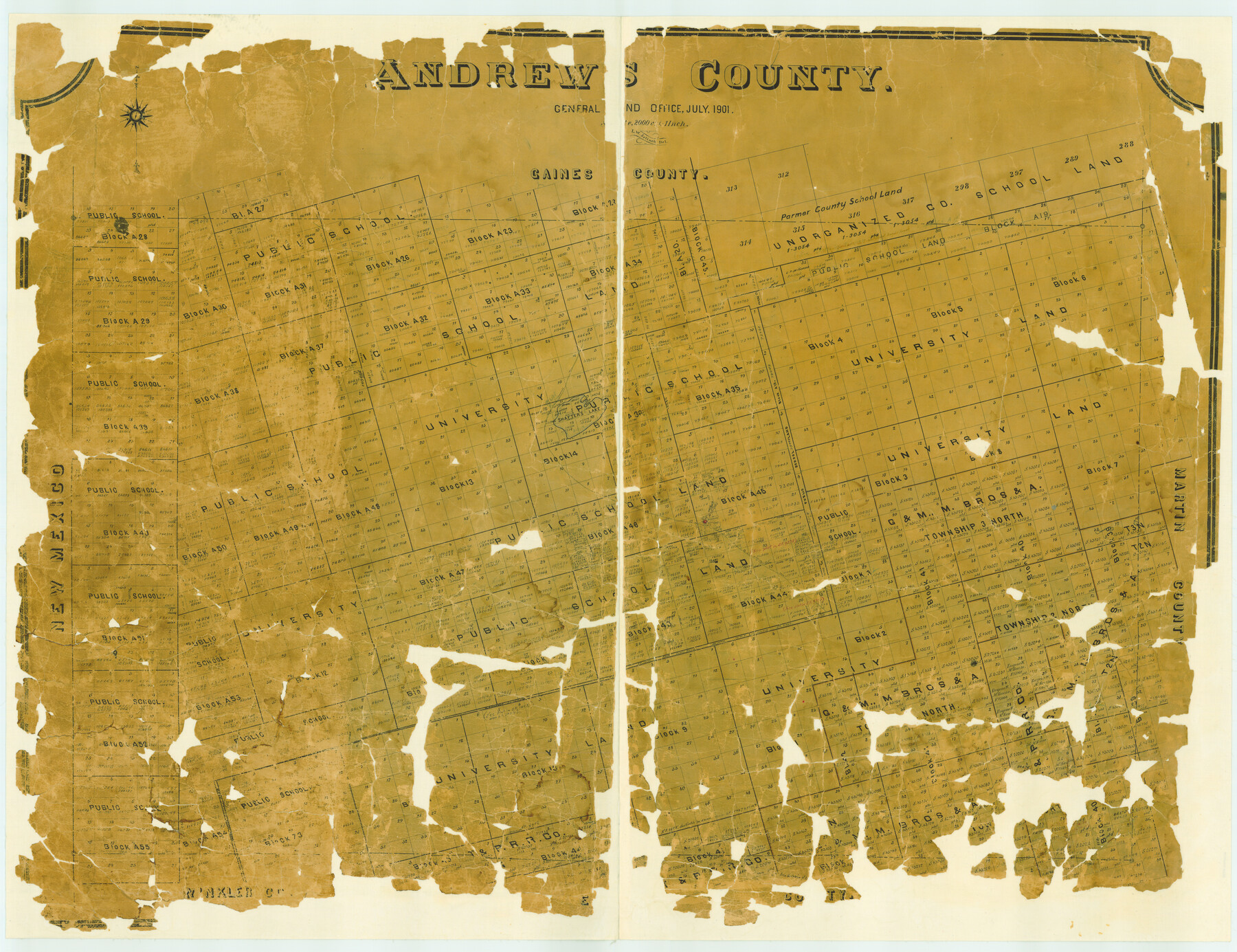
Andrews County
- 
                          Map/Doc
4779
 - 
                            Collection
General Map Collection
 - 
                            Object Dates
1901 (Creation Date)
 - 
                            People and Organizations
Texas General Land Office (Publisher)
L.W. Jelinek (Draftsman)
L.W. Jelinek (Compiler)
 - 
                            Counties
Andrews
 - 
                            Subjects
County
 - 
                            Height x Width
42.5 x 55.2 inches
108.0 x 140.2 cm
 - 
                            Features
Shafter's Lake
Andrews
Shafter's Trail
 
Part of: General Map Collection
            Potter County Boundary File 6a


                                            Print $20.00                    
                                             -                         Digital $50.00                                    
                Potter County Boundary File 6a
Size 43.8 x 15.6 inches
                                Map/Doc 58039
            
            Atlas Pintoresco e Historico de los Estados Unidos Mexicanos


            Atlas Pintoresco e Historico de los Estados Unidos Mexicanos
Map/Doc 96796
            
            Anderson County Working Sketch 11


                                            Print $40.00                    
                                             -                         Digital $50.00                                    
                Anderson County Working Sketch 11
1933
Size 42.8 x 57.9 inches
                                Map/Doc 67010
            
            [Surveys near the Medina River, Bexar District]


                                            Print $2.00                    
                                             -                         Digital $50.00                                    
                [Surveys near the Medina River, Bexar District]
1847
Size 13.1 x 8.0 inches
                                Map/Doc 230
            
            Sketch of Resurvey of J. R. Castlebury Est., SF 12725 in Gregg County


                                            Print $20.00                    
                                             -                         Digital $50.00                                    
                Sketch of Resurvey of J. R. Castlebury Est., SF 12725 in Gregg County
1931
Size 38.6 x 33.3 inches
                                Map/Doc 2039
            
            Caldwell County


                                            Print $20.00                    
                                             -                         Digital $50.00                                    
                Caldwell County
1935
Size 37.8 x 42.0 inches
                                Map/Doc 73095
            
            Jasper County Boundary File 3


                                            Print $54.00                    
                                             -                         Digital $50.00                                    
                Jasper County Boundary File 3
Size 9.3 x 31.0 inches
                                Map/Doc 55480
            
            Plat of South 1/2 of Colorado River Channel in McCulloch Co., Texas from Concho County line down river 34 mile 315 varas


                                            Print $40.00                    
                                             -                         Digital $50.00                                    
                Plat of South 1/2 of Colorado River Channel in McCulloch Co., Texas from Concho County line down river 34 mile 315 varas
1918
Size 41.1 x 144.3 inches
                                Map/Doc 76044
            
            Kerr County Working Sketch Graphic Index


                                            Print $40.00                    
                                             -                         Digital $50.00                                    
                Kerr County Working Sketch Graphic Index
1923
Size 40.4 x 55.9 inches
                                Map/Doc 76605
            
            Leon County Working Sketch 42


                                            Print $40.00                    
                                             -                         Digital $50.00                                    
                Leon County Working Sketch 42
1980
Size 56.8 x 42.8 inches
                                Map/Doc 70441
            
            Haskell County Boundary File 4a


                                            Print $62.00                    
                                             -                         Digital $50.00                                    
                Haskell County Boundary File 4a
Size 9.0 x 4.5 inches
                                Map/Doc 54545
            
            Hutchinson County Sketch File 10


                                            Print $40.00                    
                                             -                         Digital $50.00                                    
                Hutchinson County Sketch File 10
Size 55.8 x 9.2 inches
                                Map/Doc 10500
            You may also like
            [C. C. Slaughter Block 1, T. T. RR. Co. Block 2]


                                            Print $2.00                    
                                             -                         Digital $50.00                                    
                [C. C. Slaughter Block 1, T. T. RR. Co. Block 2]
Size 8.6 x 11.5 inches
                                Map/Doc 90621
            
            Mills County Rolled Sketch 4


                                            Print $20.00                    
                                             -                         Digital $50.00                                    
                Mills County Rolled Sketch 4
2000
Size 26.6 x 21.6 inches
                                Map/Doc 6782
            
            County Map of Texas, and Indian Territory


                                            Print $20.00                    
                                    
                County Map of Texas, and Indian Territory
1872
Size 18.9 x 16.1 inches
                                Map/Doc 88820
            
            Scraped-Out Division of the Slaughter Ranch Cochran County, Texas


                                            Print $20.00                    
                                             -                         Digital $50.00                                    
                Scraped-Out Division of the Slaughter Ranch Cochran County, Texas
1936
Size 20.1 x 22.1 inches
                                Map/Doc 92485
            
            Cottle County Working Sketch 21


                                            Print $20.00                    
                                             -                         Digital $50.00                                    
                Cottle County Working Sketch 21
1982
Size 37.0 x 46.6 inches
                                Map/Doc 68331
            
            San Jacinto Co.


                                            Print $20.00                    
                                             -                         Digital $50.00                                    
                San Jacinto Co.
1889
Size 46.4 x 37.9 inches
                                Map/Doc 63016
            
            Castro County Sketch File 4d


                                            Print $4.00                    
                                             -                         Digital $50.00                                    
                Castro County Sketch File 4d
Size 13.6 x 8.8 inches
                                Map/Doc 17471
            
            Atascosa County Boundary File 5


                                            Print $32.00                    
                                             -                         Digital $50.00                                    
                Atascosa County Boundary File 5
Size 8.8 x 6.3 inches
                                Map/Doc 50198
            
            Gonzales County


                                            Print $20.00                    
                                             -                         Digital $50.00                                    
                Gonzales County
1880
Size 25.3 x 22.6 inches
                                Map/Doc 3594
            
            Hunt County Sketch File 21


                                            Print $4.00                    
                                             -                         Digital $50.00                                    
                Hunt County Sketch File 21
Size 8.1 x 5.8 inches
                                Map/Doc 27122
            
            Jefferson County Rolled Sketch 48


                                            Print $20.00                    
                                             -                         Digital $50.00                                    
                Jefferson County Rolled Sketch 48
1963
Size 28.3 x 34.8 inches
                                Map/Doc 6403