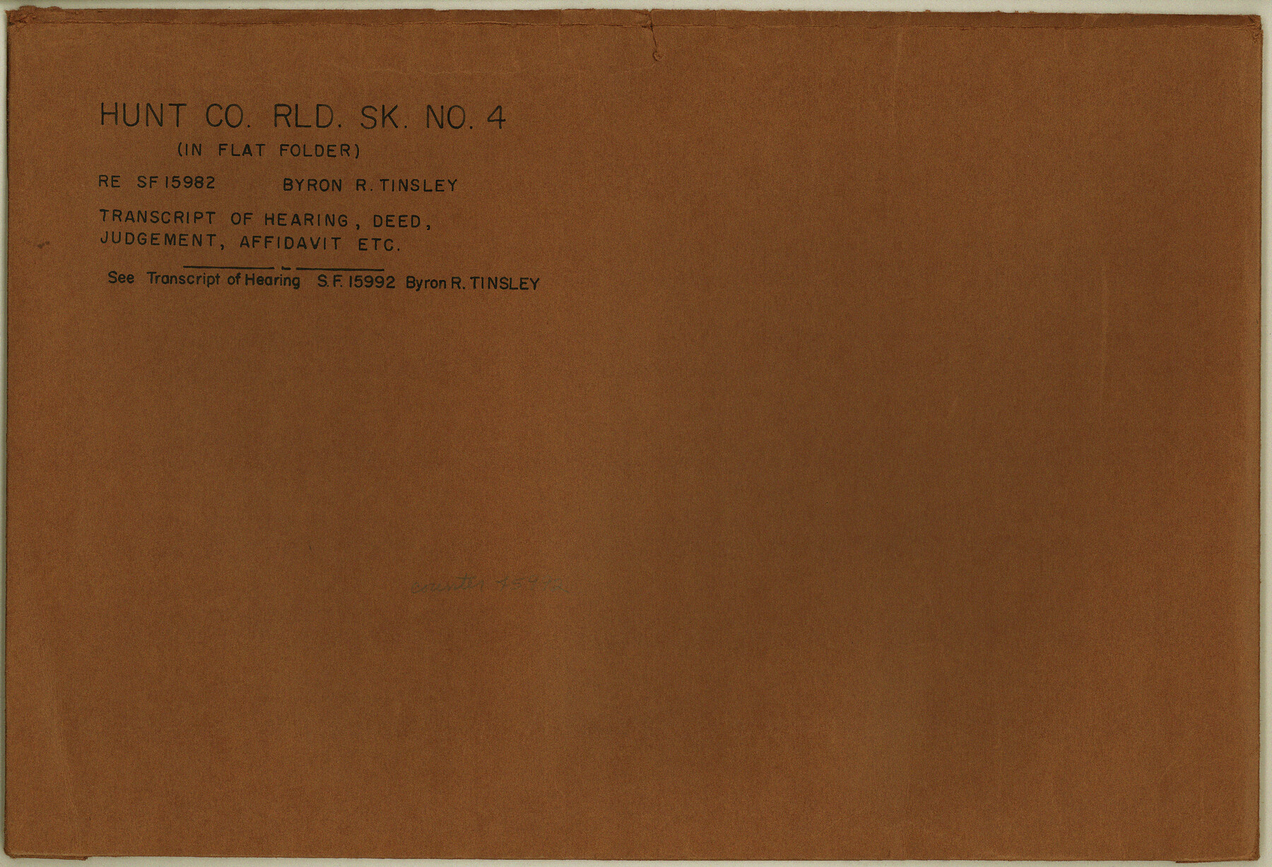
Hunt County Rolled Sketch 4
Transcript of Hearing, Deed, Judgement, Affidavit, etc. regarding SF-15992
-
Map/Doc
45992
-
Collection
General Map Collection
-
Object Dates
1959 (Creation Date)
1959/6/5 (File Date)
-
Counties
Hunt
-
Subjects
Surveying Rolled Sketch
-
Height x Width
10.4 x 15.2 inches
26.4 x 38.6 cm
-
Medium
multi-page, multi-format
Part of: General Map Collection
Bexar County Sketch File 52

Print $28.00
- Digital $50.00
Bexar County Sketch File 52
1935
Size 13.5 x 16.8 inches
Map/Doc 14534
Starr County Rolled Sketch 43

Print $20.00
- Digital $50.00
Starr County Rolled Sketch 43
1982
Size 36.1 x 30.9 inches
Map/Doc 7836
Jefferson County Rolled Sketch 41

Print $20.00
- Digital $50.00
Jefferson County Rolled Sketch 41
1897
Size 25.1 x 17.8 inches
Map/Doc 6399
Newton County Aerial Photograph Index Sheet 1

Print $20.00
- Digital $50.00
Newton County Aerial Photograph Index Sheet 1
1953
Size 23.8 x 18.7 inches
Map/Doc 83730
Flight Mission No. BRA-8M, Frame 122, Jefferson County

Print $20.00
- Digital $50.00
Flight Mission No. BRA-8M, Frame 122, Jefferson County
1953
Size 18.5 x 22.4 inches
Map/Doc 85618
Map of the Harlem State Farm and the Central State Farm, Fort Bend County, Texas

Print $20.00
- Digital $50.00
Map of the Harlem State Farm and the Central State Farm, Fort Bend County, Texas
Size 35.7 x 32.1 inches
Map/Doc 62995
San Patricio County Rolled Sketch 53

Print $20.00
- Digital $50.00
San Patricio County Rolled Sketch 53
1996
Size 19.1 x 25.3 inches
Map/Doc 7738
McMullen County Rolled Sketch 19

Print $20.00
- Digital $50.00
McMullen County Rolled Sketch 19
1963
Size 26.6 x 39.6 inches
Map/Doc 6735
Flight Mission No. DCL-6C, Frame 51, Kenedy County

Print $20.00
- Digital $50.00
Flight Mission No. DCL-6C, Frame 51, Kenedy County
1943
Size 18.6 x 22.4 inches
Map/Doc 85893
Fractional Township No. 9 South Range No. 24 East of the Indian Meridian, Indian Territory

Print $20.00
- Digital $50.00
Fractional Township No. 9 South Range No. 24 East of the Indian Meridian, Indian Territory
1898
Size 19.2 x 24.3 inches
Map/Doc 75241
Flight Mission No. DQO-12K, Frame 34, Galveston County

Print $20.00
- Digital $50.00
Flight Mission No. DQO-12K, Frame 34, Galveston County
1952
Size 18.8 x 22.5 inches
Map/Doc 85225
McMullen County Sketch File 17

Print $4.00
- Digital $50.00
McMullen County Sketch File 17
Size 8.0 x 10.0 inches
Map/Doc 31369
You may also like
Sutton County Sketch File 59

Print $20.00
- Digital $50.00
Sutton County Sketch File 59
Size 24.6 x 16.5 inches
Map/Doc 12394
Hockley County Rolled Sketch 5

Print $40.00
- Digital $50.00
Hockley County Rolled Sketch 5
Size 80.8 x 29.5 inches
Map/Doc 9175
Outer Continental Shelf Leasing Maps (Louisiana Offshore Operations)

Print $20.00
- Digital $50.00
Outer Continental Shelf Leasing Maps (Louisiana Offshore Operations)
1954
Size 13.0 x 15.0 inches
Map/Doc 76111
Houston County

Print $20.00
- Digital $50.00
Houston County
1877
Size 25.9 x 26.2 inches
Map/Doc 3684
Harris County Rolled Sketch R & B

Print $40.00
- Digital $50.00
Harris County Rolled Sketch R & B
1901
Size 63.8 x 30.0 inches
Map/Doc 8344
S.P.O. Co. No. 7, State Submerged Tract No. 12, Laguna Madre, Nueces Co., Texas

Print $20.00
- Digital $50.00
S.P.O. Co. No. 7, State Submerged Tract No. 12, Laguna Madre, Nueces Co., Texas
1937
Size 27.9 x 27.4 inches
Map/Doc 3026
Val Verde County Working Sketch 97

Print $20.00
- Digital $50.00
Val Verde County Working Sketch 97
1980
Size 41.7 x 47.6 inches
Map/Doc 72232
Lipscomb County Rolled Sketch 7

Print $20.00
- Digital $50.00
Lipscomb County Rolled Sketch 7
1968
Size 23.6 x 23.4 inches
Map/Doc 6630
Carta Particular de las Costas Setentrionales del Seno Mexicano que comprehende las de la Florida Ocidental las Margenes de la Luisiana y toda la rivera que sigue por la Bahía de San Bernardo y el Río Bravo del Norte hasta la Laguna Madre

Carta Particular de las Costas Setentrionales del Seno Mexicano que comprehende las de la Florida Ocidental las Margenes de la Luisiana y toda la rivera que sigue por la Bahía de San Bernardo y el Río Bravo del Norte hasta la Laguna Madre
1825
Size 26.1 x 38.7 inches
Map/Doc 94568
Johnson County Working Sketch 3

Print $20.00
- Digital $50.00
Johnson County Working Sketch 3
1948
Size 29.1 x 24.2 inches
Map/Doc 66616
Borden County Sketch File 11

Print $4.00
- Digital $50.00
Borden County Sketch File 11
1892
Size 11.0 x 8.9 inches
Map/Doc 14730
Presidio County Rolled Sketch 83A

Print $20.00
- Digital $50.00
Presidio County Rolled Sketch 83A
1930
Size 28.2 x 27.6 inches
Map/Doc 7370