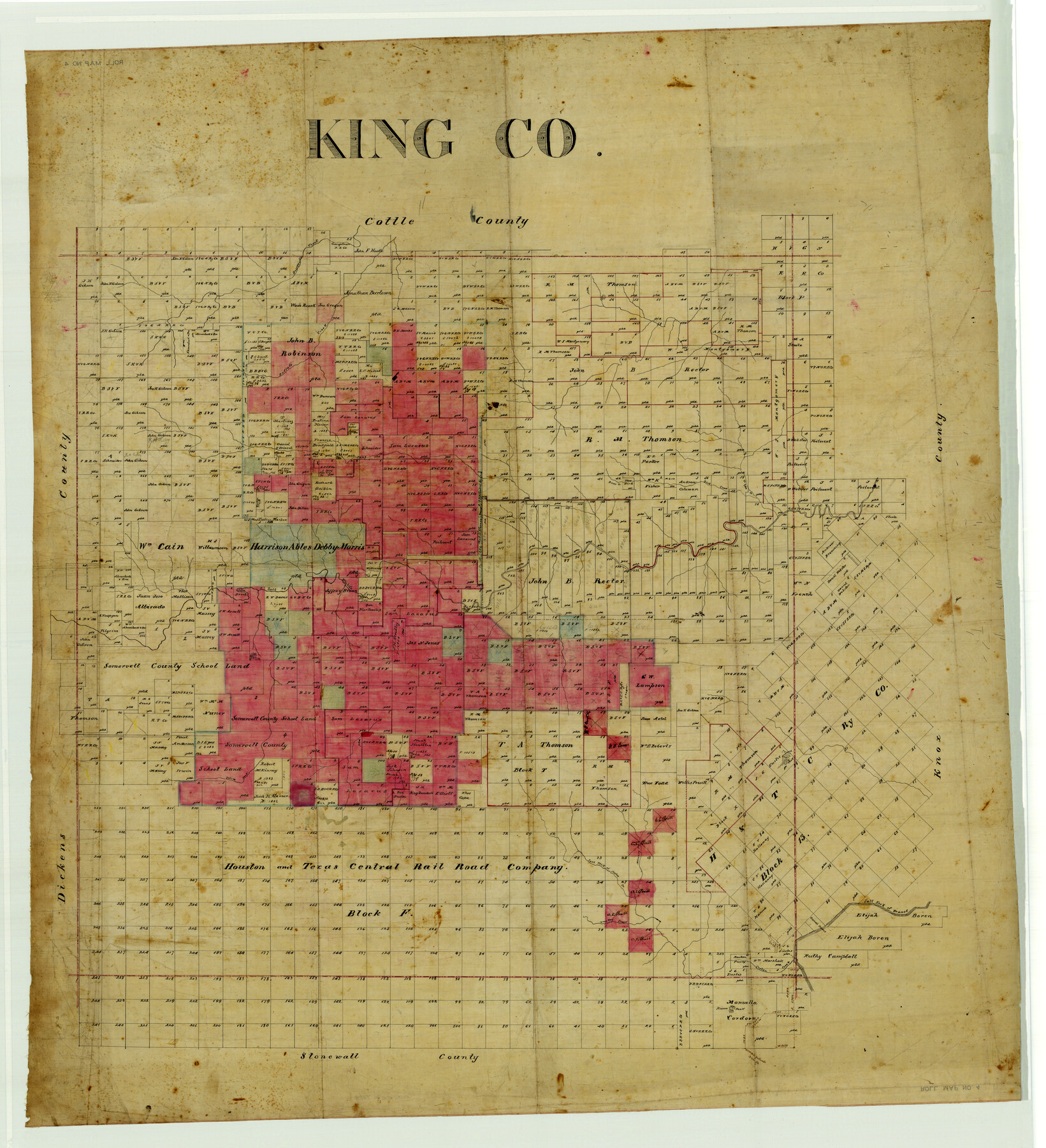
King Co.
Maddox County Rolled Map 4
- 
                          Map/Doc
4489
 - 
                            Collection
Maddox Collection
 - 
                            Counties
King
 - 
                            Height x Width
45.4 x 41.4 inches
115.3 x 105.2 cm
 
Part of: Maddox Collection
            [Sketch Showing Surveys in Dimmit County, Texas]


                                            Print $20.00                    
                                             -                         Digital $50.00                                    
                [Sketch Showing Surveys in Dimmit County, Texas]
Size 42.3 x 31.8 inches
                                Map/Doc 75783
            
            [Surveying Sketch of A. Forsythe Block B and R. M. Thomson Block M in Cottle County, Texas]


                                            Print $3.00                    
                                             -                         Digital $50.00                                    
                [Surveying Sketch of A. Forsythe Block B and R. M. Thomson Block M in Cottle County, Texas]
1912
Size 11.0 x 15.8 inches
                                Map/Doc 523
            
            Martin County, Texas


                                            Print $20.00                    
                                             -                         Digital $50.00                                    
                Martin County, Texas
1870
Size 22.9 x 18.0 inches
                                Map/Doc 391
            
            Map of surveys 191 & 192 T. C. R.R. Co. in Travis County, Texas


                                            Print $20.00                    
                                             -                         Digital $50.00                                    
                Map of surveys 191 & 192 T. C. R.R. Co. in Travis County, Texas
1915
Size 20.6 x 13.6 inches
                                Map/Doc 75554
            
            [Highway Map of the State of Texas]


                                            Print $20.00                    
                                             -                         Digital $50.00                                    
                [Highway Map of the State of Texas]
1923
Size 44.7 x 46.7 inches
                                Map/Doc 5039
            
            Map of Orange County, Texas


                                            Print $20.00                    
                                             -                         Digital $50.00                                    
                Map of Orange County, Texas
1880
Size 15.6 x 19.1 inches
                                Map/Doc 746
            
            Loving County, Texas


                                            Print $20.00                    
                                             -                         Digital $50.00                                    
                Loving County, Texas
1889
Size 18.8 x 23.8 inches
                                Map/Doc 638
            
            [Office Sketch Showing Surveys North of Loma Blanca Grant, Brooks County, Texas]


                                            Print $20.00                    
                                             -                         Digital $50.00                                    
                [Office Sketch Showing Surveys North of Loma Blanca Grant, Brooks County, Texas]
Size 16.6 x 19.6 inches
                                Map/Doc 412
            
            San Antonio del Encinal as Corrected


                                            Print $20.00                    
                                             -                         Digital $50.00                                    
                San Antonio del Encinal as Corrected
1916
Size 31.2 x 31.5 inches
                                Map/Doc 10757
            
            Guadalupe County, Texas


                                            Print $20.00                    
                                             -                         Digital $50.00                                    
                Guadalupe County, Texas
1880
Size 24.7 x 22.5 inches
                                Map/Doc 491
            
            Topography and water depth as shown by the U.S. Coast Survey of 1888


                                            Print $20.00                    
                                             -                         Digital $50.00                                    
                Topography and water depth as shown by the U.S. Coast Survey of 1888
1890
Size 17.0 x 18.8 inches
                                Map/Doc 390
            
            Map of Walker County, Texas


                                            Print $20.00                    
                                             -                         Digital $50.00                                    
                Map of Walker County, Texas
1879
Size 19.9 x 16.6 inches
                                Map/Doc 655
            You may also like
            Flight Mission No. DIX-7P, Frame 19, Aransas County


                                            Print $20.00                    
                                             -                         Digital $50.00                                    
                Flight Mission No. DIX-7P, Frame 19, Aransas County
1956
Size 19.0 x 22.6 inches
                                Map/Doc 83871
            
            Brazoria County Sketch File 34


                                            Print $4.00                    
                                             -                         Digital $50.00                                    
                Brazoria County Sketch File 34
Size 14.3 x 8.9 inches
                                Map/Doc 15041
            
            Midland County Sketch File D


                                            Print $42.00                    
                                             -                         Digital $50.00                                    
                Midland County Sketch File D
1901
Size 32.6 x 18.4 inches
                                Map/Doc 12089
            
            [Sketch showing Capitol Lands]


                                            Print $40.00                    
                                             -                         Digital $50.00                                    
                [Sketch showing Capitol Lands]
Size 38.3 x 72.0 inches
                                Map/Doc 89725
            
            Map Illustrating the plan of the defences of the Western & North-Western Frontier, as proposed by Charles Gratiot in his report of Oct. 31, 1837


                                            Print $20.00                    
                                             -                         Digital $50.00                                    
                Map Illustrating the plan of the defences of the Western & North-Western Frontier, as proposed by Charles Gratiot in his report of Oct. 31, 1837
1837
Size 23.8 x 17.7 inches
                                Map/Doc 95698
            
            San Jacinto County Sketch File 22


                                            Print $136.00                    
                                    
                San Jacinto County Sketch File 22
1935
Size 11.3 x 8.7 inches
                                Map/Doc 35734
            
            Hockley County Working Sketch Graphic Index


                                            Print $20.00                    
                                             -                         Digital $50.00                                    
                Hockley County Working Sketch Graphic Index
1954
Size 42.3 x 37.8 inches
                                Map/Doc 76579
            
            [Map of Line Dividing Fannin and Nacogdoches Districts]


                                            Print $20.00                    
                                             -                         Digital $50.00                                    
                [Map of Line Dividing Fannin and Nacogdoches Districts]
1850
Size 34.2 x 39.0 inches
                                Map/Doc 1707
            
            Lamb County Boundary File 1b


                                            Print $2.00                    
                                             -                         Digital $50.00                                    
                Lamb County Boundary File 1b
Size 10.9 x 8.8 inches
                                Map/Doc 56044
            
            Jim Hogg County Boundary File 1


                                            Print $16.00                    
                                             -                         Digital $50.00                                    
                Jim Hogg County Boundary File 1
Size 11.4 x 8.8 inches
                                Map/Doc 55519
            
            Pecos County Working Sketch 97


                                            Print $40.00                    
                                             -                         Digital $50.00                                    
                Pecos County Working Sketch 97
1970
Size 35.7 x 48.9 inches
                                Map/Doc 71570
            
            Flight Mission No. CRK-3P, Frame 128, Refugio County


                                            Print $20.00                    
                                             -                         Digital $50.00                                    
                Flight Mission No. CRK-3P, Frame 128, Refugio County
1956
Size 18.6 x 22.4 inches
                                Map/Doc 86916