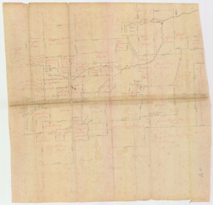
[Surveys near Brushy Creek]
Atlas G, Page 3, Sketch 5 (G-3-5)
G-3-5
-
Map/Doc
360
-
Collection
General Map Collection
-
Object Dates
1845 (Creation Date)
-
People and Organizations
Matthias Wilbarger (Surveyor/Engineer)
-
Counties
Williamson
-
Subjects
Atlas
-
Height x Width
10.0 x 7.9 inches
25.4 x 20.1 cm
-
Medium
paper, manuscript
-
Comments
Conserved in 2003.
-
Features
Brushy Creek
Part of: General Map Collection
Intracoastal Waterway, Houma, LA to Corpus Christi, TX
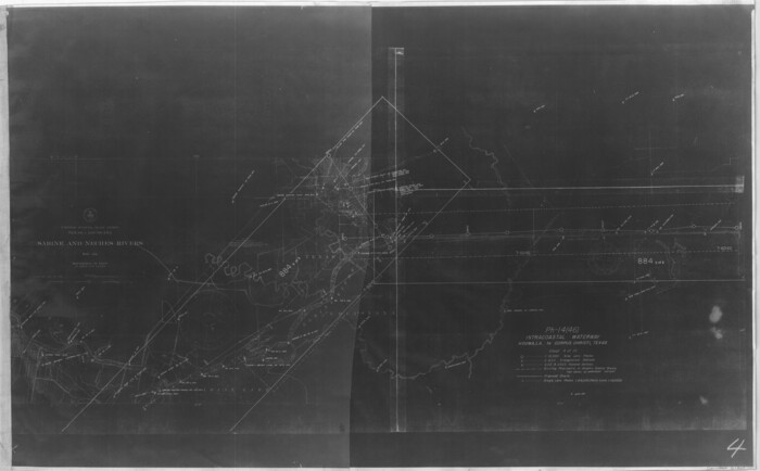

Print $20.00
- Digital $50.00
Intracoastal Waterway, Houma, LA to Corpus Christi, TX
Size 18.7 x 30.2 inches
Map/Doc 61908
Flight Mission No. DAG-22K, Frame 86, Matagorda County
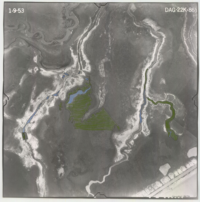

Print $20.00
- Digital $50.00
Flight Mission No. DAG-22K, Frame 86, Matagorda County
1953
Size 15.7 x 15.5 inches
Map/Doc 86470
Stephens County Working Sketch 37
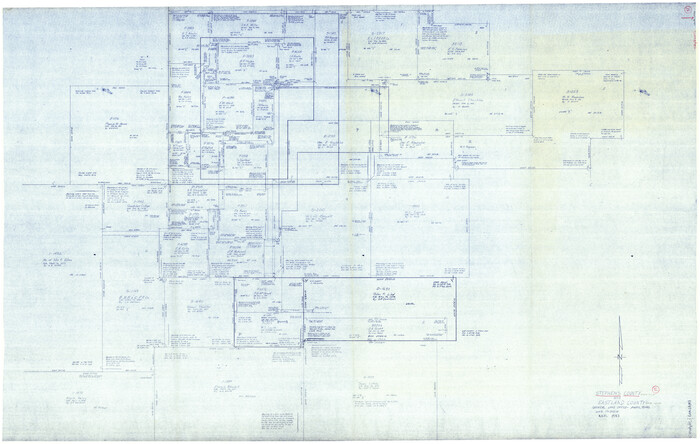

Print $40.00
- Digital $50.00
Stephens County Working Sketch 37
1983
Size 42.9 x 67.7 inches
Map/Doc 63980
Texas Official Highway Travel Map
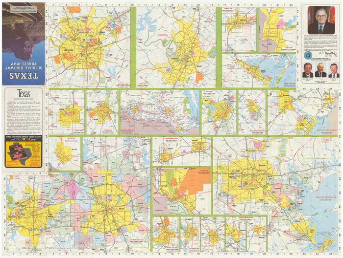

Texas Official Highway Travel Map
Size 27.4 x 36.3 inches
Map/Doc 94307
Smith County Working Sketch 5
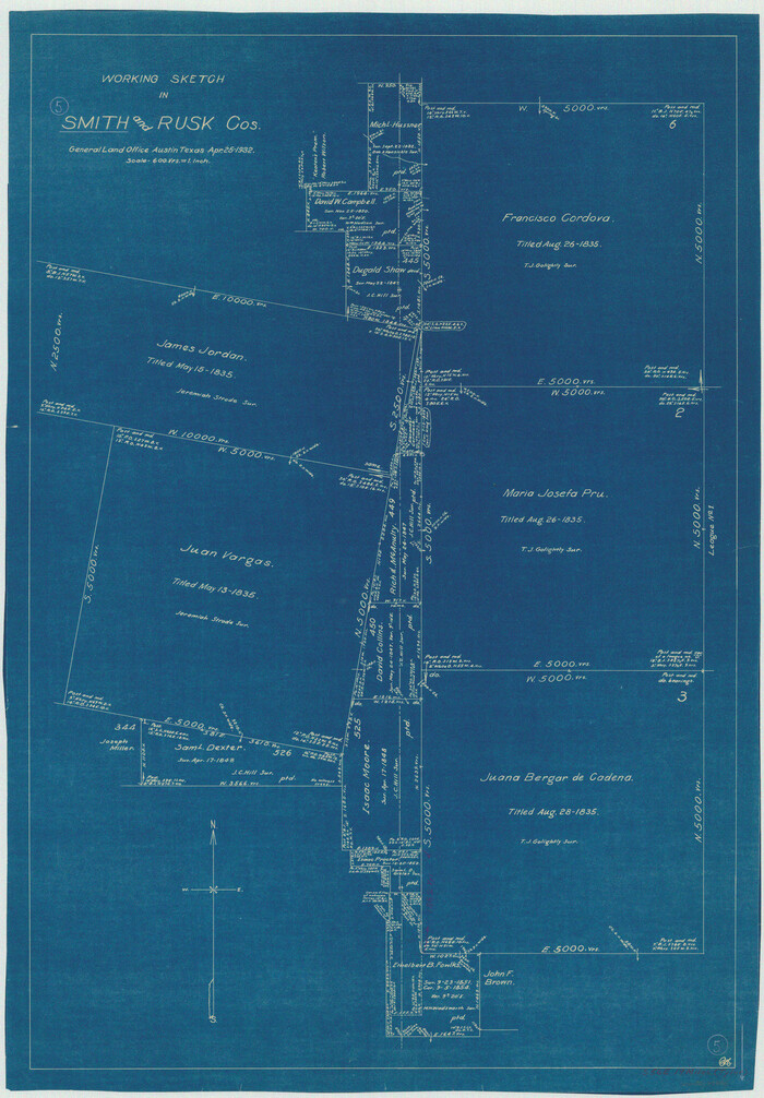

Print $20.00
- Digital $50.00
Smith County Working Sketch 5
1932
Size 32.2 x 22.4 inches
Map/Doc 63890
Val Verde County Sketch File 51

Print $10.00
- Digital $50.00
Val Verde County Sketch File 51
1959
Size 9.8 x 8.7 inches
Map/Doc 39320
Fort Bend County Sketch File 26

Print $46.00
- Digital $50.00
Fort Bend County Sketch File 26
Size 8.9 x 9.1 inches
Map/Doc 22956
United States - Gulf Coast Texas - Southern part of Laguna Madre
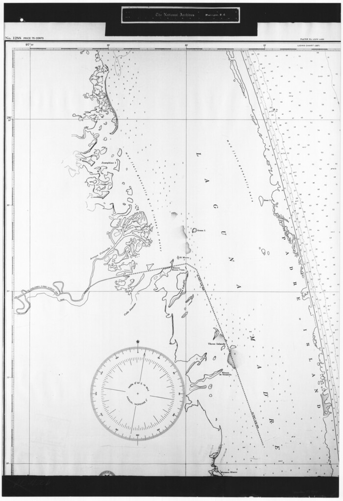

Print $20.00
- Digital $50.00
United States - Gulf Coast Texas - Southern part of Laguna Madre
1941
Size 26.7 x 18.3 inches
Map/Doc 72944
Lavaca County Sketch File 2


Print $6.00
- Digital $50.00
Lavaca County Sketch File 2
1849
Size 8.7 x 7.5 inches
Map/Doc 29630
Hockley County Working Sketch 3
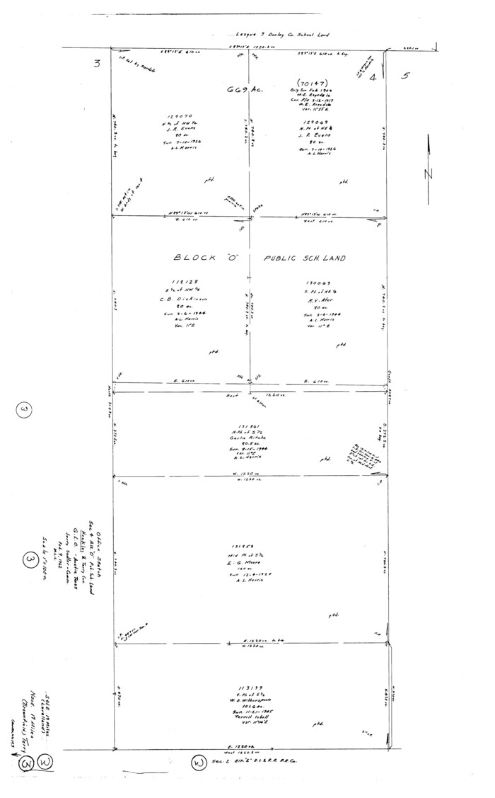

Print $20.00
- Digital $50.00
Hockley County Working Sketch 3
1962
Size 35.4 x 22.0 inches
Map/Doc 66193
Harris County Rolled Sketch 84
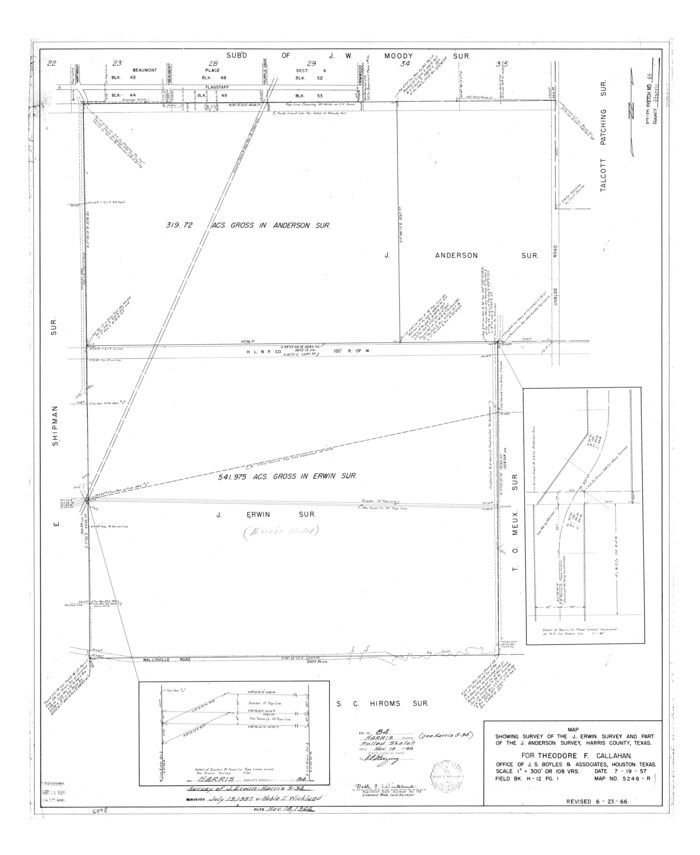

Print $20.00
- Digital $50.00
Harris County Rolled Sketch 84
1957
Size 38.7 x 31.7 inches
Map/Doc 6118
Current Miscellaneous File 36


Print $12.00
- Digital $50.00
Current Miscellaneous File 36
Size 10.3 x 12.4 inches
Map/Doc 73952
You may also like
Atascosa County Rolled Sketch 22


Print $40.00
- Digital $50.00
Atascosa County Rolled Sketch 22
1917
Size 26.5 x 57.2 inches
Map/Doc 8922
Polk County Sketch File 4
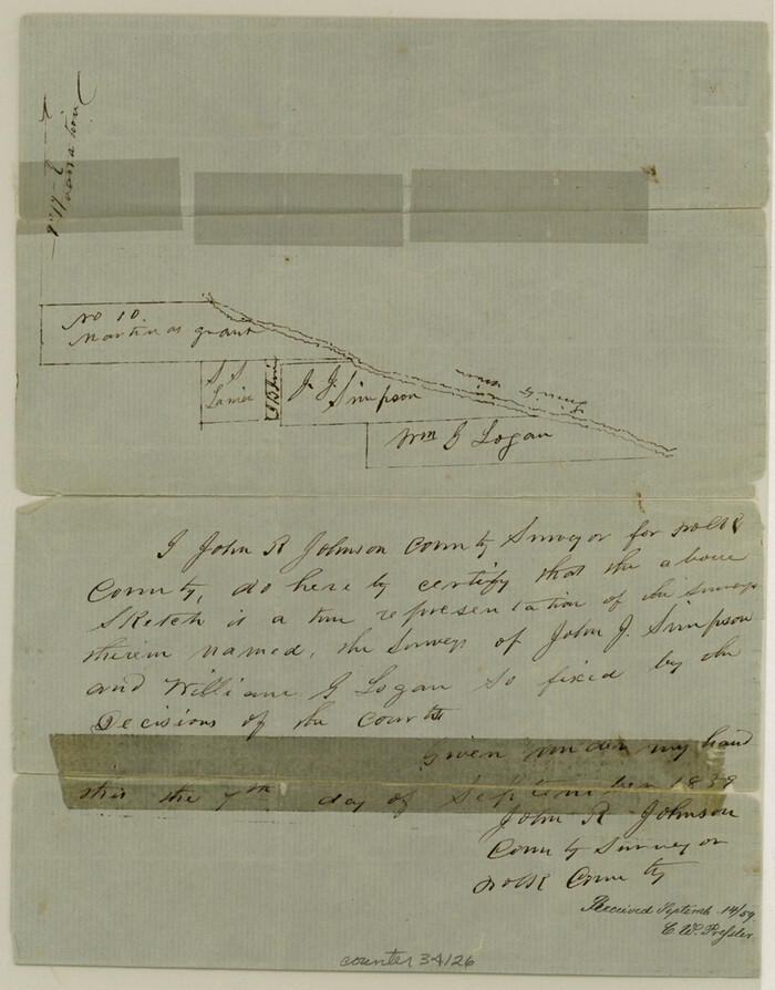

Print $4.00
- Digital $50.00
Polk County Sketch File 4
1859
Size 10.2 x 8.0 inches
Map/Doc 34126
Presidio County Rolled Sketch 129
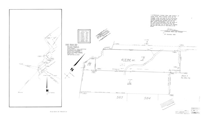

Print $20.00
- Digital $50.00
Presidio County Rolled Sketch 129
1989
Size 27.0 x 46.0 inches
Map/Doc 7399
Madison County Working Sketch 10


Print $20.00
- Digital $50.00
Madison County Working Sketch 10
1960
Size 34.7 x 32.0 inches
Map/Doc 70772
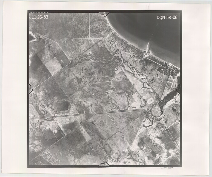
Flight Mission No. DQN-5K, Frame 26, Calhoun County

Print $20.00
- Digital $50.00
Flight Mission No. DQN-5K, Frame 26, Calhoun County
1953
Size 18.6 x 22.3 inches
Map/Doc 84377
Tyler County Working Sketch 20


Print $20.00
- Digital $50.00
Tyler County Working Sketch 20
1982
Size 41.0 x 32.7 inches
Map/Doc 69490
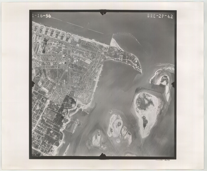
Flight Mission No. BRE-2P, Frame 42, Nueces County

Print $20.00
- Digital $50.00
Flight Mission No. BRE-2P, Frame 42, Nueces County
1956
Size 18.5 x 22.4 inches
Map/Doc 86744
Flight Mission No. DCL-7C, Frame 110, Kenedy County


Print $20.00
- Digital $50.00
Flight Mission No. DCL-7C, Frame 110, Kenedy County
1943
Size 18.5 x 22.3 inches
Map/Doc 86075
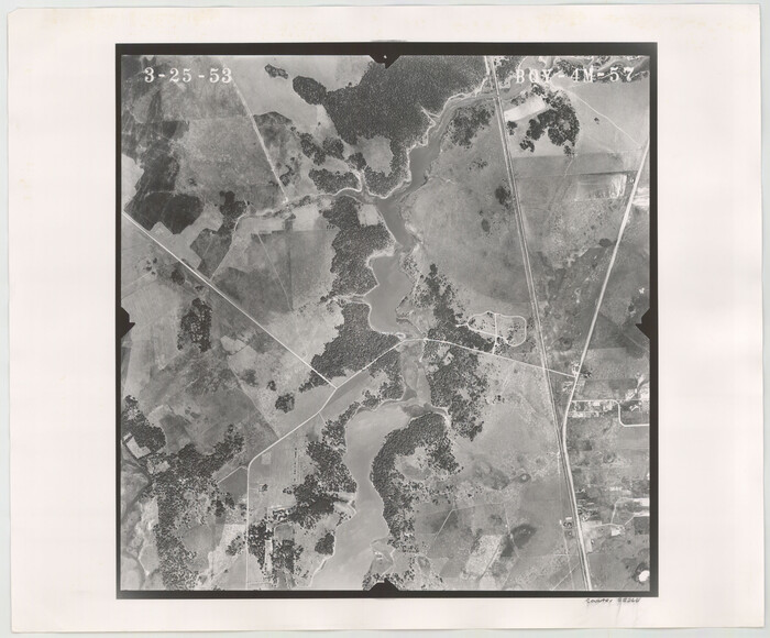
Flight Mission No. BQY-4M, Frame 57, Harris County

Print $20.00
- Digital $50.00
Flight Mission No. BQY-4M, Frame 57, Harris County
1953
Size 18.5 x 22.3 inches
Map/Doc 85266
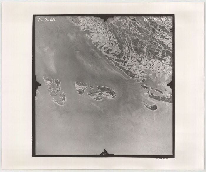
Flight Mission No. DCL-6C, Frame 71, Kenedy County

Print $20.00
- Digital $50.00
Flight Mission No. DCL-6C, Frame 71, Kenedy County
1943
Size 18.6 x 22.3 inches
Map/Doc 85913
Jefferson County Sketch File 15b

Print $26.00
- Digital $50.00
Jefferson County Sketch File 15b
Size 17.4 x 33.2 inches
Map/Doc 11869
[Abstract Numbering Register - Kaufman through Reagan]
![82967, [Abstract Numbering Register - Kaufman through Reagan], General Map Collection](https://historictexasmaps.com/wmedia_w700/pdf_converted_jpg/qi_pdf_thumbnail_30614.jpg)
![82967, [Abstract Numbering Register - Kaufman through Reagan], General Map Collection](https://historictexasmaps.com/wmedia_w700/pdf_converted_jpg/qi_pdf_thumbnail_30614.jpg)
[Abstract Numbering Register - Kaufman through Reagan]
Map/Doc 82967
![360, [Surveys near Brushy Creek], General Map Collection](https://historictexasmaps.com/wmedia_w1800h1800/maps/360.tif.jpg)