[Map of Clay County]
-
Map/Doc
3402
-
Collection
General Map Collection
-
Object Dates
10/4/1860 (Creation Date)
10/15/1860 (File Date)
-
People and Organizations
Clay County (Publisher)
William Cloud (Draftsman)
William Cloud (Surveyor/Engineer)
-
Counties
Clay
-
Subjects
County
-
Height x Width
28.3 x 19.1 inches
71.9 x 48.5 cm
-
Features
[Red River]
[Big Wichita River]
Part of: General Map Collection
Aransas County Rolled Sketch 16


Digital $50.00
Aransas County Rolled Sketch 16
Size 44.1 x 92.5 inches
Map/Doc 8412
Henderson County Rolled Sketch 5


Print $40.00
- Digital $50.00
Henderson County Rolled Sketch 5
1962
Size 62.7 x 43.9 inches
Map/Doc 49660
Milam County Working Sketch 14


Print $20.00
- Digital $50.00
Milam County Working Sketch 14
1904
Size 28.2 x 16.7 inches
Map/Doc 71029
Van Zandt County Sketch File 19


Print $4.00
- Digital $50.00
Van Zandt County Sketch File 19
1858
Size 9.7 x 7.7 inches
Map/Doc 39422
Kenedy County Working Sketch Graphic Index

Print $20.00
- Digital $50.00
Kenedy County Working Sketch Graphic Index
1978
Size 46.6 x 35.8 inches
Map/Doc 76603
Gray County Sketch File 11

Print $40.00
- Digital $50.00
Gray County Sketch File 11
Size 15.0 x 13.5 inches
Map/Doc 24452
Flight Mission No. DCL-6C, Frame 70, Kenedy County
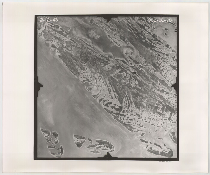

Print $20.00
- Digital $50.00
Flight Mission No. DCL-6C, Frame 70, Kenedy County
1943
Size 18.6 x 22.3 inches
Map/Doc 85912
Current Miscellaneous File 54


Print $24.00
- Digital $50.00
Current Miscellaneous File 54
1955
Size 11.2 x 8.7 inches
Map/Doc 74042
[Surveys in the Travis District along Onion Creek and the Pedernales River]
![40, [Surveys in the Travis District along Onion Creek and the Pedernales River], General Map Collection](https://historictexasmaps.com/wmedia_w700/maps/40.tif.jpg)
![40, [Surveys in the Travis District along Onion Creek and the Pedernales River], General Map Collection](https://historictexasmaps.com/wmedia_w700/maps/40.tif.jpg)
Print $20.00
- Digital $50.00
[Surveys in the Travis District along Onion Creek and the Pedernales River]
1841
Size 14.0 x 15.8 inches
Map/Doc 40
Tarrant County Sketch File 7

Print $6.00
- Digital $50.00
Tarrant County Sketch File 7
1856
Size 8.2 x 10.2 inches
Map/Doc 37684
Reagan County Working Sketch 41
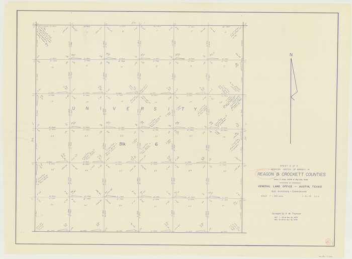

Print $20.00
- Digital $50.00
Reagan County Working Sketch 41
1973
Size 28.6 x 38.9 inches
Map/Doc 71883
You may also like
Trinity County Boundary File 102a


Print $50.00
- Digital $50.00
Trinity County Boundary File 102a
Size 9.6 x 4.7 inches
Map/Doc 59487
[I. M. Bolton, L. S. Thacker, and R. C. Poteet Subdivisions]
![92577, [I. M. Bolton, L. S. Thacker, and R. C. Poteet Subdivisions], Twichell Survey Records](https://historictexasmaps.com/wmedia_w700/maps/92577-1.tif.jpg)
![92577, [I. M. Bolton, L. S. Thacker, and R. C. Poteet Subdivisions], Twichell Survey Records](https://historictexasmaps.com/wmedia_w700/maps/92577-1.tif.jpg)
Print $20.00
- Digital $50.00
[I. M. Bolton, L. S. Thacker, and R. C. Poteet Subdivisions]
1924
Size 18.8 x 24.5 inches
Map/Doc 92577
Gillespie County Sketch File 10
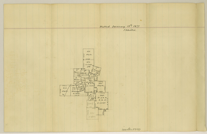

Print $4.00
- Digital $50.00
Gillespie County Sketch File 10
1877
Size 8.3 x 12.9 inches
Map/Doc 24147
General Highway Map, Llano County, Texas


Print $20.00
General Highway Map, Llano County, Texas
1961
Size 18.2 x 24.6 inches
Map/Doc 79576
Newton County Sketch File 45
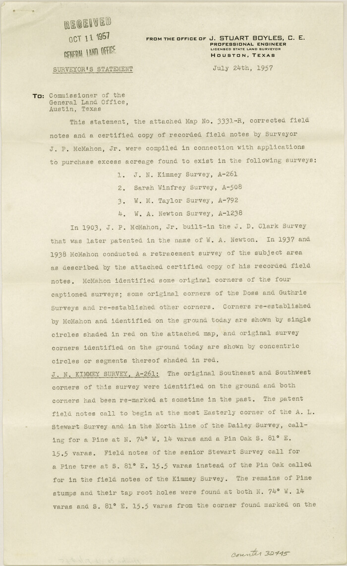

Print $12.00
- Digital $50.00
Newton County Sketch File 45
1957
Size 14.1 x 8.7 inches
Map/Doc 32445
Part of Matagorda Bay & Peninsula, Texas
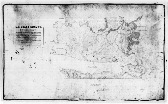

Print $40.00
- Digital $50.00
Part of Matagorda Bay & Peninsula, Texas
1856
Size 31.8 x 51.4 inches
Map/Doc 69978
Van Zandt County Working Sketch 6a
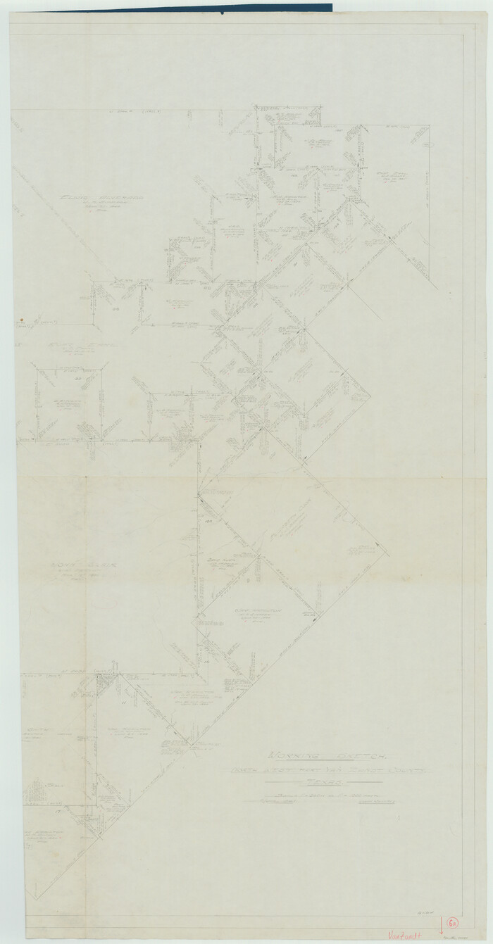

Print $40.00
- Digital $50.00
Van Zandt County Working Sketch 6a
1941
Size 57.6 x 30.1 inches
Map/Doc 72255
Jeff Davis County Rolled Sketch T4


Print $20.00
- Digital $50.00
Jeff Davis County Rolled Sketch T4
Size 28.9 x 23.9 inches
Map/Doc 6382
General Highway Map, Zapata County, Texas
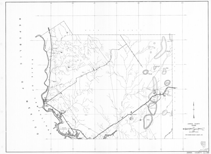

Print $20.00
General Highway Map, Zapata County, Texas
1961
Size 18.0 x 24.7 inches
Map/Doc 79722
Flight Mission No. CGI-3N, Frame 143, Cameron County
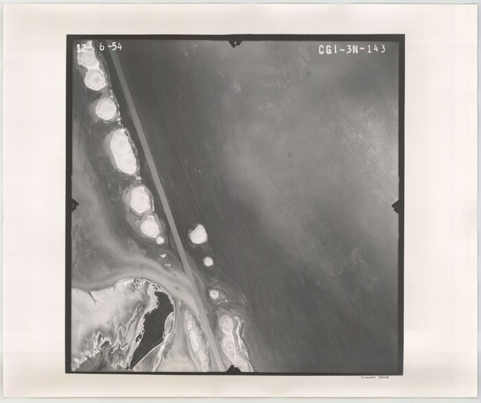

Print $20.00
- Digital $50.00
Flight Mission No. CGI-3N, Frame 143, Cameron County
1954
Size 18.5 x 22.1 inches
Map/Doc 84616
Map of the Pitchfork Ranch
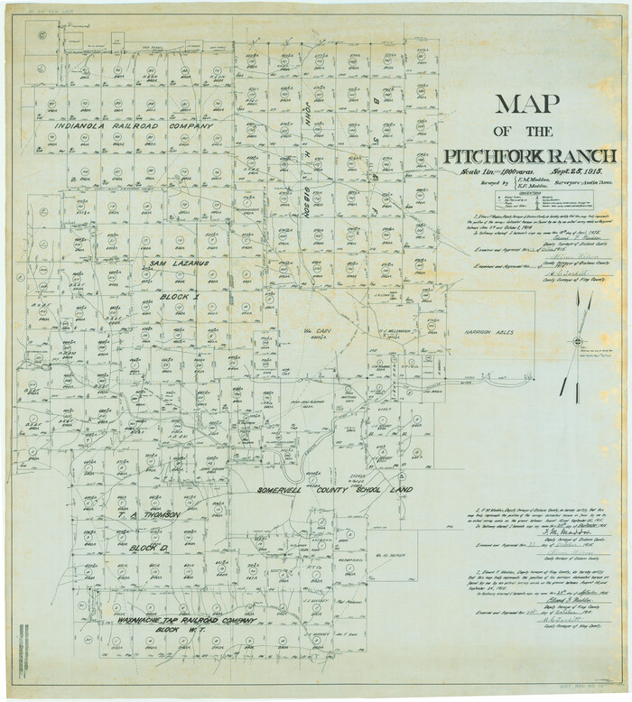

Print $20.00
- Digital $50.00
Map of the Pitchfork Ranch
1915
Size 39.9 x 35.9 inches
Map/Doc 75826
![3402, [Map of Clay County], General Map Collection](https://historictexasmaps.com/wmedia_w1800h1800/maps/3402-1.tif.jpg)
