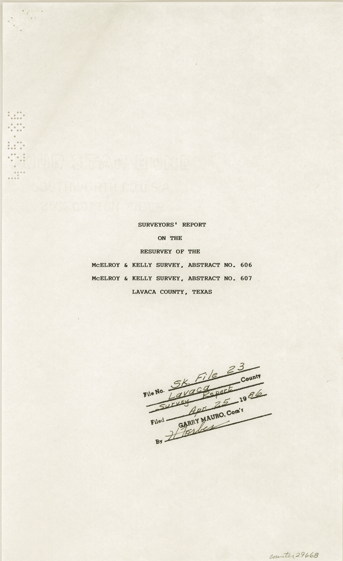
Lavaca County Sketch File 23
[Surveyor's report on the resurvey of the McElroy and Kelly surveys A-606 and A-607]
-
Map/Doc
29668
-
Collection
General Map Collection
-
Object Dates
2/8/1986 (Creation Date)
4/25/1986 (File Date)
-
People and Organizations
S. Michael Rains (Surveyor/Engineer)
-
Counties
Lavaca
-
Subjects
Surveying Sketch File
-
Height x Width
14.0 x 8.6 inches
35.6 x 21.8 cm
-
Medium
paper, print
-
Comments
See Lavaca County Rolled Sketch 7 (10291) for sketch.
Related maps
Lavaca County Rolled Sketch 7

Print $20.00
- Digital $50.00
Lavaca County Rolled Sketch 7
Size 37.4 x 32.7 inches
Map/Doc 10291
Part of: General Map Collection
Jefferson County Sketch File 22

Print $22.00
- Digital $50.00
Jefferson County Sketch File 22
Size 7.6 x 11.9 inches
Map/Doc 28179
Fannin County Sketch File 1

Print $4.00
- Digital $50.00
Fannin County Sketch File 1
1848
Size 9.0 x 7.9 inches
Map/Doc 22443
[Sketch for Mineral Application 24072, San Jacinto River]
![65592, [Sketch for Mineral Application 24072, San Jacinto River], General Map Collection](https://historictexasmaps.com/wmedia_w700/maps/65592.tif.jpg)
Print $20.00
- Digital $50.00
[Sketch for Mineral Application 24072, San Jacinto River]
1929
Size 39.7 x 21.0 inches
Map/Doc 65592
Cochran County Working Sketch 2

Print $40.00
- Digital $50.00
Cochran County Working Sketch 2
1971
Size 52.9 x 45.3 inches
Map/Doc 68013
Val Verde County Working Sketch 27

Print $20.00
- Digital $50.00
Val Verde County Working Sketch 27
1937
Size 26.6 x 26.4 inches
Map/Doc 72162
Jasper County Rolled Sketch 7B

Print $20.00
- Digital $50.00
Jasper County Rolled Sketch 7B
Size 19.7 x 11.6 inches
Map/Doc 6355
Current Miscellaneous File 58

Print $8.00
- Digital $50.00
Current Miscellaneous File 58
1955
Size 11.6 x 9.2 inches
Map/Doc 74052
Rusk County Sketch File 6

Print $4.00
Rusk County Sketch File 6
1848
Size 6.3 x 7.9 inches
Map/Doc 35499
Pecos County Rolled Sketch 109

Print $40.00
- Digital $50.00
Pecos County Rolled Sketch 109
1940
Size 40.6 x 49.3 inches
Map/Doc 9719
Erath County Boundary File 1

Print $8.00
- Digital $50.00
Erath County Boundary File 1
Size 13.1 x 8.8 inches
Map/Doc 53237
Map of the Reconnaissance in Texas by Lieuts Blake & Meade of the Corps of Topl. Engrs.

Print $20.00
- Digital $50.00
Map of the Reconnaissance in Texas by Lieuts Blake & Meade of the Corps of Topl. Engrs.
1845
Size 27.7 x 18.5 inches
Map/Doc 72892
Kimble County Rolled Sketch 35

Print $20.00
- Digital $50.00
Kimble County Rolled Sketch 35
1978
Size 20.0 x 19.6 inches
Map/Doc 6525
You may also like
Flight Mission No. BRA-16M, Frame 110, Jefferson County

Print $20.00
- Digital $50.00
Flight Mission No. BRA-16M, Frame 110, Jefferson County
1953
Size 18.6 x 22.4 inches
Map/Doc 85720
Jack County Sketch File 30

Print $20.00
- Digital $50.00
Jack County Sketch File 30
Size 24.9 x 34.7 inches
Map/Doc 11829
Map of Europe engraved to illustrate Mitchell's school and family geography

Print $20.00
- Digital $50.00
Map of Europe engraved to illustrate Mitchell's school and family geography
1839
Size 9.5 x 11.8 inches
Map/Doc 93502
General Highway Map, Dallam County, Texas

Print $20.00
General Highway Map, Dallam County, Texas
1961
Size 24.6 x 18.3 inches
Map/Doc 79428
Medina County Sketch File 13

Print $20.00
- Digital $50.00
Medina County Sketch File 13
Size 18.1 x 22.7 inches
Map/Doc 12069
Webb County Rolled Sketch 74

Print $20.00
- Digital $50.00
Webb County Rolled Sketch 74
1982
Size 40.7 x 31.9 inches
Map/Doc 10131
General Highway Map, Wilbarger County, Texas

Print $20.00
General Highway Map, Wilbarger County, Texas
1961
Size 24.9 x 18.2 inches
Map/Doc 79710
Harris County Working Sketch 60

Print $20.00
- Digital $50.00
Harris County Working Sketch 60
1953
Size 31.8 x 35.2 inches
Map/Doc 65952
Revised Map of Block "A", Parmer County

Print $20.00
- Digital $50.00
Revised Map of Block "A", Parmer County
1913
Size 21.1 x 23.9 inches
Map/Doc 91609
Bird's Eye View of San Antonio, Bexar Co[unty], Texas (Looking North East)
![89204, Bird's Eye View of San Antonio, Bexar Co[unty], Texas (Looking North East), Non-GLO Digital Images](https://historictexasmaps.com/wmedia_w700/maps/89204.tif.jpg)
Print $20.00
Bird's Eye View of San Antonio, Bexar Co[unty], Texas (Looking North East)
1886
Size 21.5 x 28.1 inches
Map/Doc 89204
Montgomery County Rolled Sketch 10

Print $20.00
- Digital $50.00
Montgomery County Rolled Sketch 10
1905
Size 35.5 x 26.2 inches
Map/Doc 6796
Jones County Sketch File 13a

Print $4.00
- Digital $50.00
Jones County Sketch File 13a
Size 8.3 x 15.0 inches
Map/Doc 28499