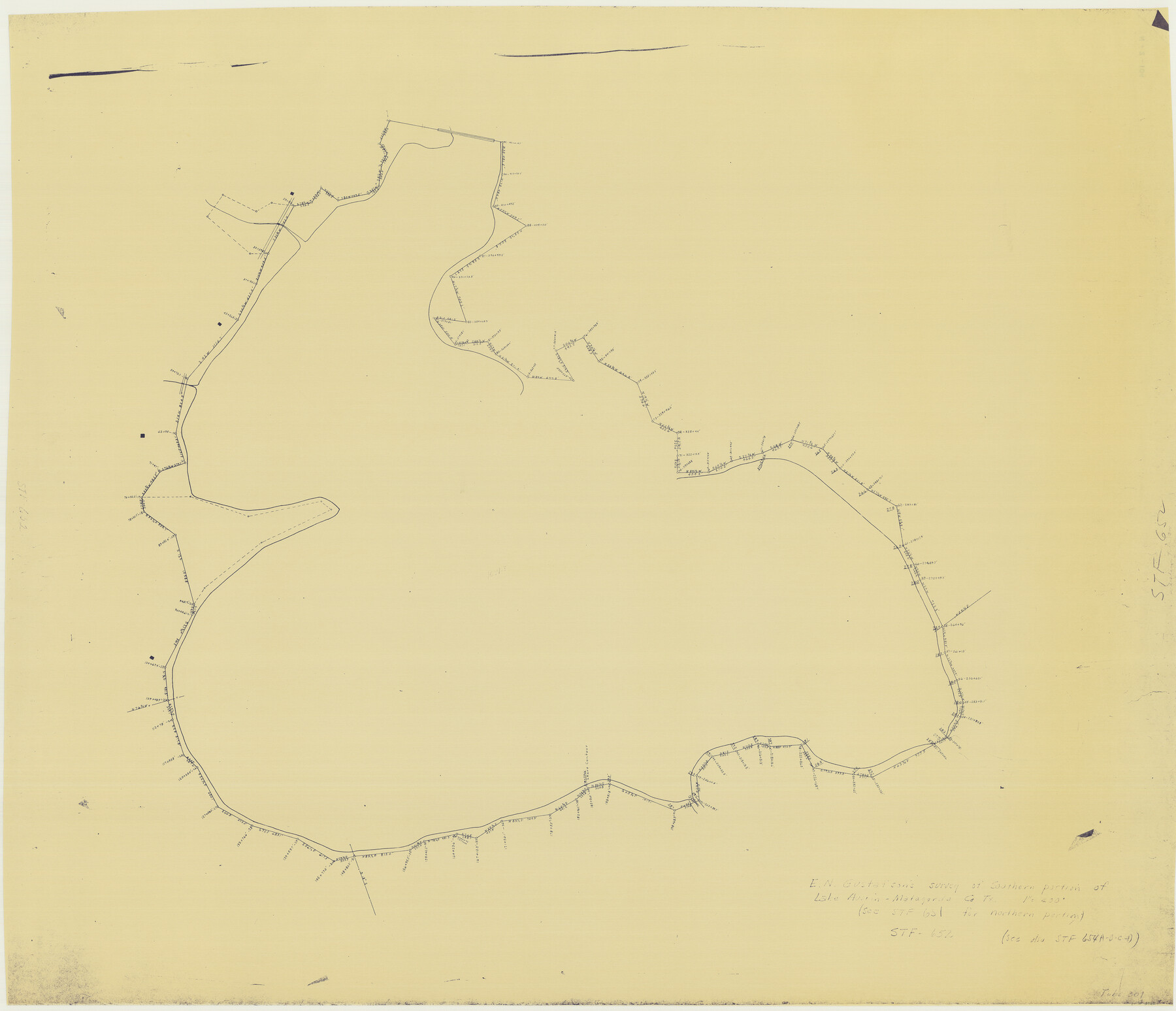
E. N. Gustafson's survey of Sorthern Portion of Lake Austin, Matagorda Co., TX
N-2-104
-
Map/Doc
2922
-
Collection
General Map Collection
-
Object Dates
1926 (Creation Date)
-
People and Organizations
E.N. Gustafson (Surveyor/Engineer)
-
Counties
Matagorda
-
Height x Width
36.7 x 42.7 inches
93.2 x 108.5 cm
-
Comments
Job No. Stf-652. See Stf-651 counter no. 2068.
Part of: General Map Collection
Flight Mission No. CRC-1R, Frame 96, Chambers County

Print $20.00
- Digital $50.00
Flight Mission No. CRC-1R, Frame 96, Chambers County
1956
Size 18.6 x 22.3 inches
Map/Doc 84711
Map of Chicago, Rock Island & Texas Railway through Tarrant County, Texas

Print $20.00
- Digital $50.00
Map of Chicago, Rock Island & Texas Railway through Tarrant County, Texas
1893
Size 20.7 x 35.7 inches
Map/Doc 64414
Flight Mission No. DQN-2K, Frame 156, Calhoun County

Print $20.00
- Digital $50.00
Flight Mission No. DQN-2K, Frame 156, Calhoun County
1953
Size 18.5 x 22.3 inches
Map/Doc 84318
Rio Grande Rectification Project, El Paso and Juarez Valley

Print $20.00
- Digital $50.00
Rio Grande Rectification Project, El Paso and Juarez Valley
1935
Size 10.8 x 29.6 inches
Map/Doc 60861
Flight Mission No. DQN-2K, Frame 87, Calhoun County

Print $20.00
- Digital $50.00
Flight Mission No. DQN-2K, Frame 87, Calhoun County
1953
Size 18.9 x 22.6 inches
Map/Doc 84277
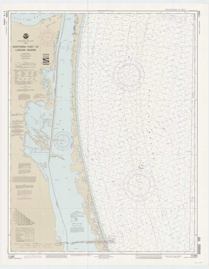
Northern Part of Laguna Madre
Print $20.00
- Digital $50.00
Northern Part of Laguna Madre
1992
Size 45.4 x 35.3 inches
Map/Doc 73532
Pecos County Working Sketch 131

Print $5.00
- Digital $50.00
Pecos County Working Sketch 131
Size 27.8 x 21.1 inches
Map/Doc 71605
Clay County Boundary File 18a

Print $80.00
- Digital $50.00
Clay County Boundary File 18a
Size 65.3 x 17.3 inches
Map/Doc 51443
Montgomery County Working Sketch Graphic Index, Sheet 1 (Sketches 1 to 35)

Print $40.00
- Digital $50.00
Montgomery County Working Sketch Graphic Index, Sheet 1 (Sketches 1 to 35)
1943
Size 43.0 x 51.9 inches
Map/Doc 76646
Flight Mission No. DAG-24K, Frame 49, Matagorda County

Print $20.00
- Digital $50.00
Flight Mission No. DAG-24K, Frame 49, Matagorda County
1953
Size 18.5 x 22.2 inches
Map/Doc 86536
Kendall County Boundary File 3a

Print $8.00
- Digital $50.00
Kendall County Boundary File 3a
Size 11.2 x 8.9 inches
Map/Doc 55765
Kent County Boundary File 10

Print $16.00
- Digital $50.00
Kent County Boundary File 10
Size 14.0 x 8.8 inches
Map/Doc 55887
You may also like
[Block 1PD and Vicinity]
![91536, [Block 1PD and Vicinity], Twichell Survey Records](https://historictexasmaps.com/wmedia_w700/maps/91536-1.tif.jpg)
Print $3.00
- Digital $50.00
[Block 1PD and Vicinity]
Size 11.4 x 9.7 inches
Map/Doc 91536
Maps & Lists Showing Prison Lands (Oil & Gas) Leased as of June 1955

Digital $50.00
Maps & Lists Showing Prison Lands (Oil & Gas) Leased as of June 1955
Size 11.4 x 7.1 inches
Map/Doc 62866
Hardin County Working Sketch 27

Print $20.00
- Digital $50.00
Hardin County Working Sketch 27
1954
Size 22.9 x 27.9 inches
Map/Doc 63425
Chambers County Sketch File 41

Print $32.00
- Digital $50.00
Chambers County Sketch File 41
Size 14.7 x 9.1 inches
Map/Doc 17694
Map of Zapata County

Print $20.00
- Digital $50.00
Map of Zapata County
1863
Size 35.0 x 28.0 inches
Map/Doc 4175
Coleman County Sketch File 18

Print $12.00
- Digital $50.00
Coleman County Sketch File 18
1871
Size 8.2 x 6.6 inches
Map/Doc 18687
Flight Mission No. DIX-3P, Frame 60, Aransas County

Print $20.00
- Digital $50.00
Flight Mission No. DIX-3P, Frame 60, Aransas County
1956
Size 17.6 x 18.0 inches
Map/Doc 83762
Harris County Sketch File 68

Print $20.00
- Digital $50.00
Harris County Sketch File 68
1939
Size 22.9 x 10.6 inches
Map/Doc 11662
Culberson County Working Sketch 74

Print $40.00
- Digital $50.00
Culberson County Working Sketch 74
1975
Size 51.4 x 35.5 inches
Map/Doc 68528
General Highway Map, Ward County, Texas

Print $20.00
General Highway Map, Ward County, Texas
1961
Size 18.2 x 25.0 inches
Map/Doc 79702
[Northwest part of County showing surveys along Spring Creek, Harvey Creek, and Red Hollow Creek]
![90909, [Northwest part of County showing surveys along Spring Creek, Harvey Creek, and Red Hollow Creek], Twichell Survey Records](https://historictexasmaps.com/wmedia_w700/maps/90909-1.tif.jpg)
Print $20.00
- Digital $50.00
[Northwest part of County showing surveys along Spring Creek, Harvey Creek, and Red Hollow Creek]
Size 18.5 x 14.4 inches
Map/Doc 90909
Intracoastal Waterway, Houma, LA to Corpus Christi, TX

Print $20.00
- Digital $50.00
Intracoastal Waterway, Houma, LA to Corpus Christi, TX
Size 18.9 x 27.9 inches
Map/Doc 61906