[Sketch for Mineral Application 13440]
K-1-8a; K-1-8b
-
Map/Doc
2799
-
Collection
General Map Collection
-
Object Dates
1925 (Creation Date)
-
People and Organizations
W.O. Work (Surveyor/Engineer)
-
Counties
Chambers
-
Subjects
Energy Offshore Submerged Area
-
Height x Width
24.3 x 54.0 inches
61.7 x 137.2 cm
Part of: General Map Collection
Leon County Sketch File 6

Print $4.00
- Digital $50.00
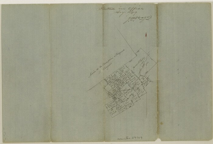
Leon County Sketch File 6
1859
Size 8.2 x 12.0 inches
Map/Doc 29719
McMullen County Working Sketch 1

Print $20.00
- Digital $50.00
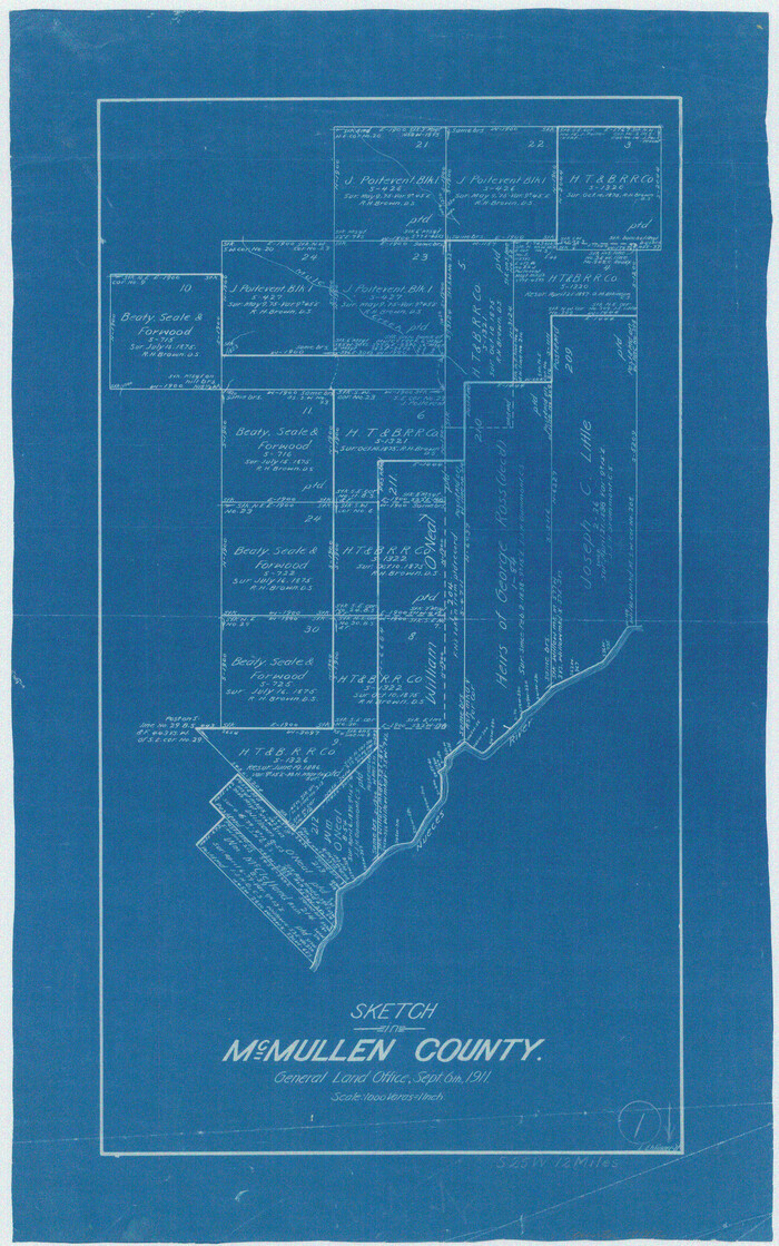
McMullen County Working Sketch 1
1911
Size 20.9 x 13.1 inches
Map/Doc 70702
Blanco County Sketch File 21a

Print $4.00
- Digital $50.00
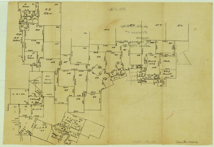
Blanco County Sketch File 21a
Size 8.3 x 12.0 inches
Map/Doc 14602
San Saba County Boundary File 1

Print $4.00
- Digital $50.00
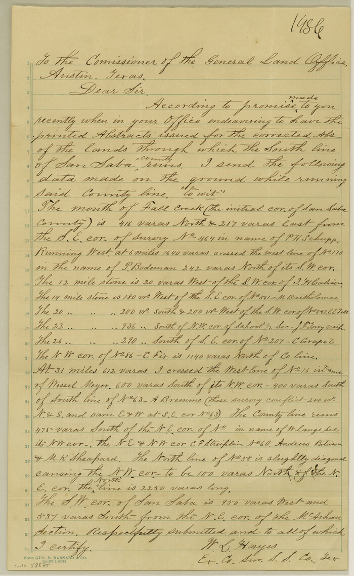
San Saba County Boundary File 1
Size 14.2 x 8.7 inches
Map/Doc 58575
Dallas County Boundary File 6e


Print $70.00
- Digital $50.00
Dallas County Boundary File 6e
Size 16.6 x 22.5 inches
Map/Doc 52254
Flight Mission No. DCL-5C, Frame 27, Kenedy County


Print $20.00
- Digital $50.00
Flight Mission No. DCL-5C, Frame 27, Kenedy County
1943
Size 18.5 x 22.4 inches
Map/Doc 85839
Map of section no. 6 of a survey of Padre Island made for the Office of the Attorney General of the State of Texas


Print $40.00
- Digital $50.00
Map of section no. 6 of a survey of Padre Island made for the Office of the Attorney General of the State of Texas
1941
Size 57.9 x 40.8 inches
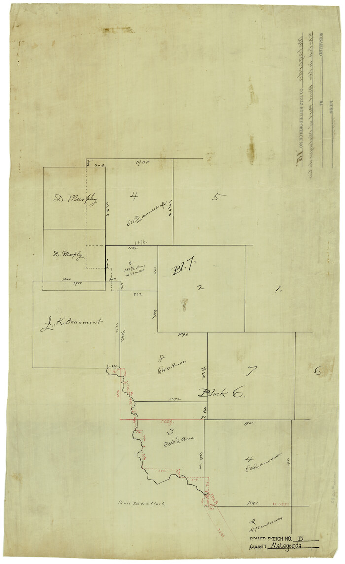
Map/Doc 2262
Matagorda County Rolled Sketch 15

Print $20.00
- Digital $50.00
Matagorda County Rolled Sketch 15
Size 24.5 x 14.9 inches
Map/Doc 6682
Galveston County Sketch File 37


Print $30.00
- Digital $50.00
Galveston County Sketch File 37
1841
Size 14.3 x 8.8 inches
Map/Doc 23423
Jackson County Sketch File 2

Print $6.00
- Digital $50.00
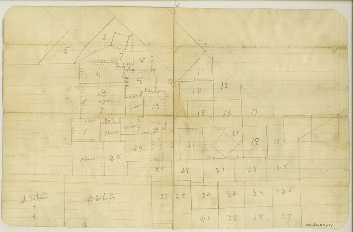
Jackson County Sketch File 2
Size 10.2 x 15.5 inches
Map/Doc 27619
Ward County Working Sketch 42

Print $20.00
- Digital $50.00
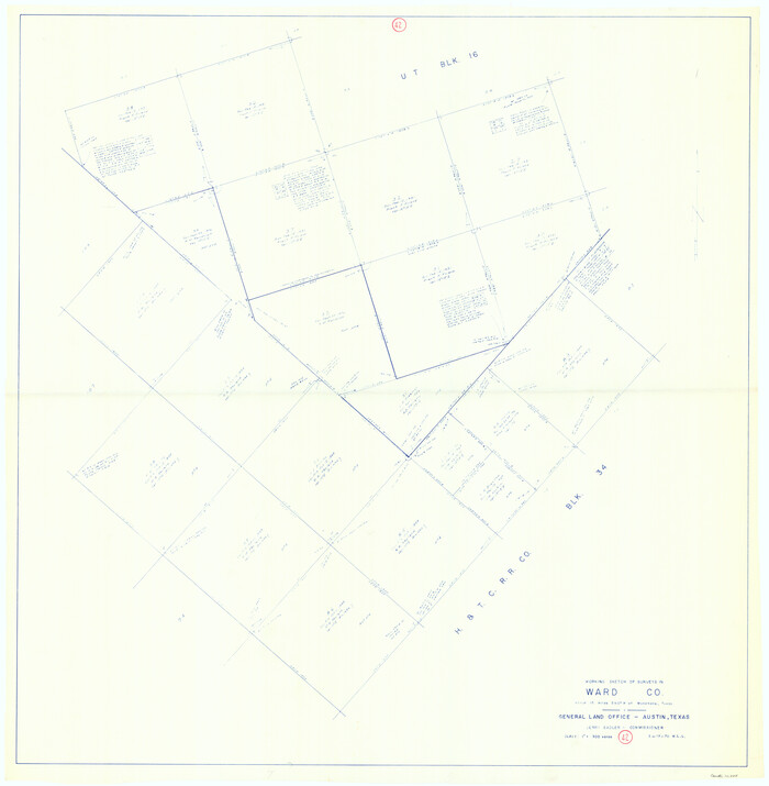
Ward County Working Sketch 42
1970
Size 42.2 x 41.3 inches
Map/Doc 72348
Soil Map - Reconnoissance Survey - South Texas Sheet

Print $20.00
- Digital $50.00
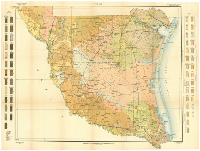
Soil Map - Reconnoissance Survey - South Texas Sheet
1909
Size 28.6 x 37.8 inches
Map/Doc 97267
You may also like
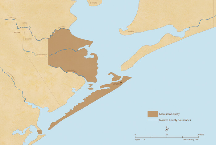
The Republic County of Galveston. Created, May 15, 1838

Print $20.00
The Republic County of Galveston. Created, May 15, 1838
2020
Size 14.7 x 21.9 inches
Map/Doc 96143
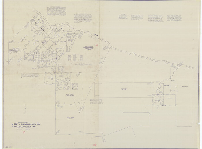
Angelina County Working Sketch 26

Print $40.00
- Digital $50.00
Angelina County Working Sketch 26
1954
Size 50.0 x 67.9 inches
Map/Doc 67108
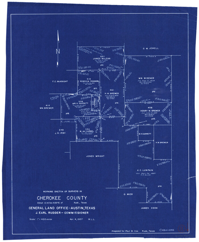
Cherokee County Working Sketch 11

Print $20.00
- Digital $50.00
Cherokee County Working Sketch 11
1957
Size 24.3 x 20.2 inches
Map/Doc 67966
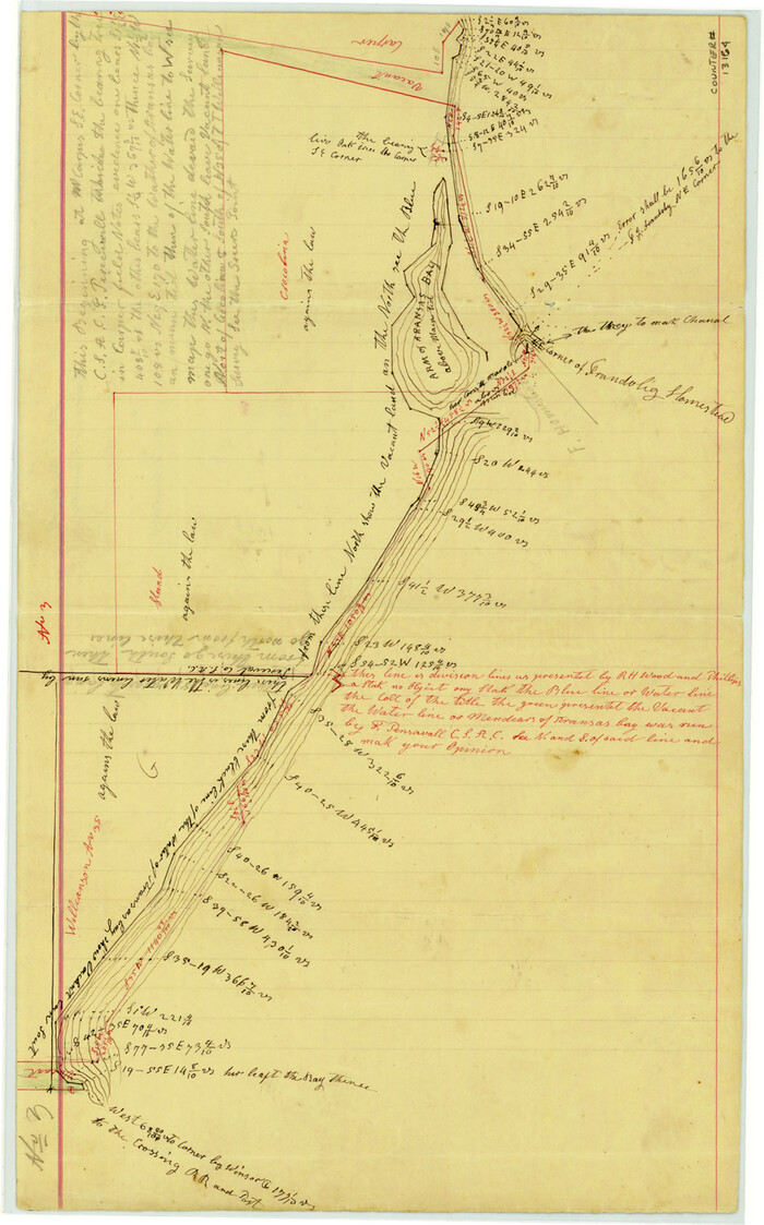
Aransas County Sketch File 21d

Print $4.00
- Digital $50.00
Aransas County Sketch File 21d
Size 14.4 x 8.9 inches
Map/Doc 13164
Andrews County Working Sketch 4


Print $20.00
- Digital $50.00
Andrews County Working Sketch 4
1954
Size 42.8 x 19.2 inches
Map/Doc 67050
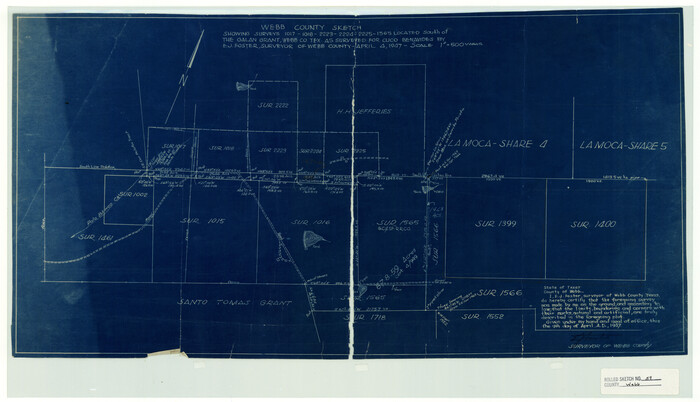
Webb County Rolled Sketch 59

Print $20.00
- Digital $50.00
Webb County Rolled Sketch 59
1947
Size 15.3 x 26.7 inches
Map/Doc 8210
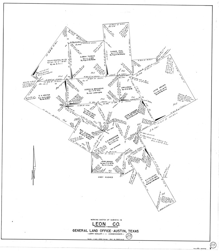
Leon County Working Sketch 25

Print $20.00
- Digital $50.00
Leon County Working Sketch 25
1968
Size 30.6 x 26.7 inches
Map/Doc 70424
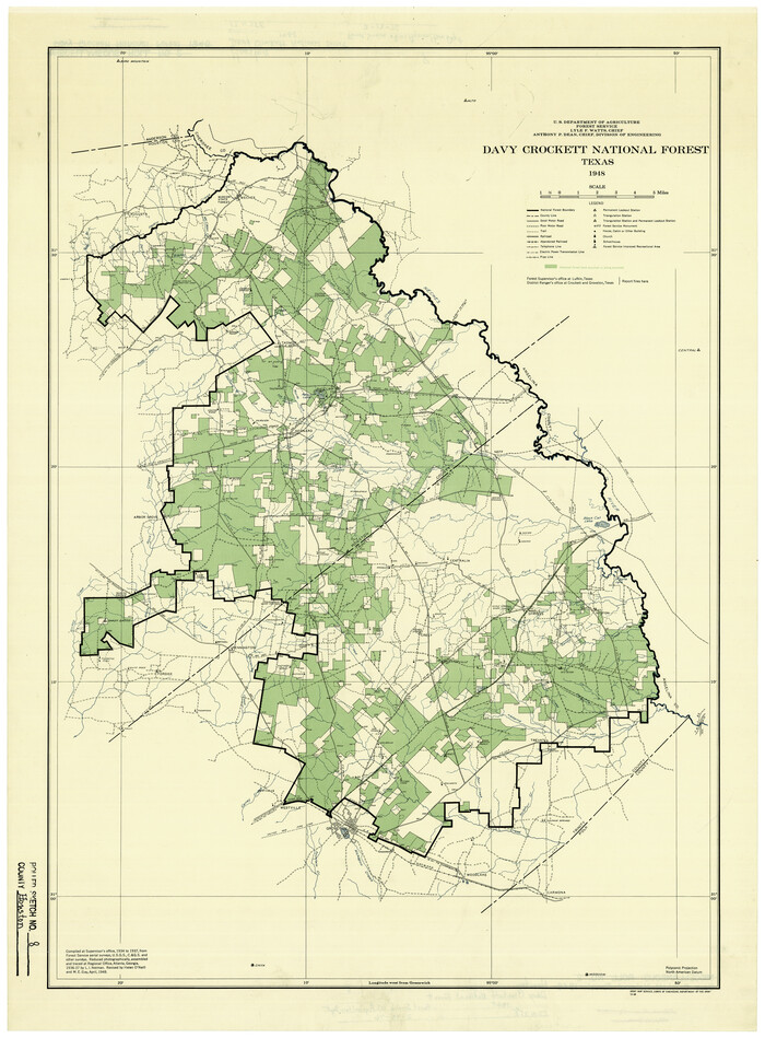
Houston County Rolled Sketch 8

Print $20.00
- Digital $50.00
Houston County Rolled Sketch 8
1948
Size 27.7 x 20.3 inches
Map/Doc 6228
Blanco County Sketch File 33


Print $4.00
- Digital $50.00
Blanco County Sketch File 33
Size 7.9 x 7.0 inches
Map/Doc 14635
Terrell County


Print $20.00
- Digital $50.00
Terrell County
1905
Size 40.5 x 32.3 inches
Map/Doc 4075
List of surveys in Shelby County

List of surveys in Shelby County
1849
Size 13.2 x 8.2 inches
Map/Doc 62443
[Townships 4N and 5N]
![90634, [Townships 4N and 5N], Twichell Survey Records](https://historictexasmaps.com/wmedia_w700/maps/90634-1.tif.jpg)
![90634, [Townships 4N and 5N], Twichell Survey Records](https://historictexasmaps.com/wmedia_w700/maps/90634-1.tif.jpg)
Print $20.00
- Digital $50.00
[Townships 4N and 5N]
Size 25.6 x 21.7 inches
Map/Doc 90634
![2799, [Sketch for Mineral Application 13440], General Map Collection](https://historictexasmaps.com/wmedia_w1800h1800/maps/2799-1.tif.jpg)