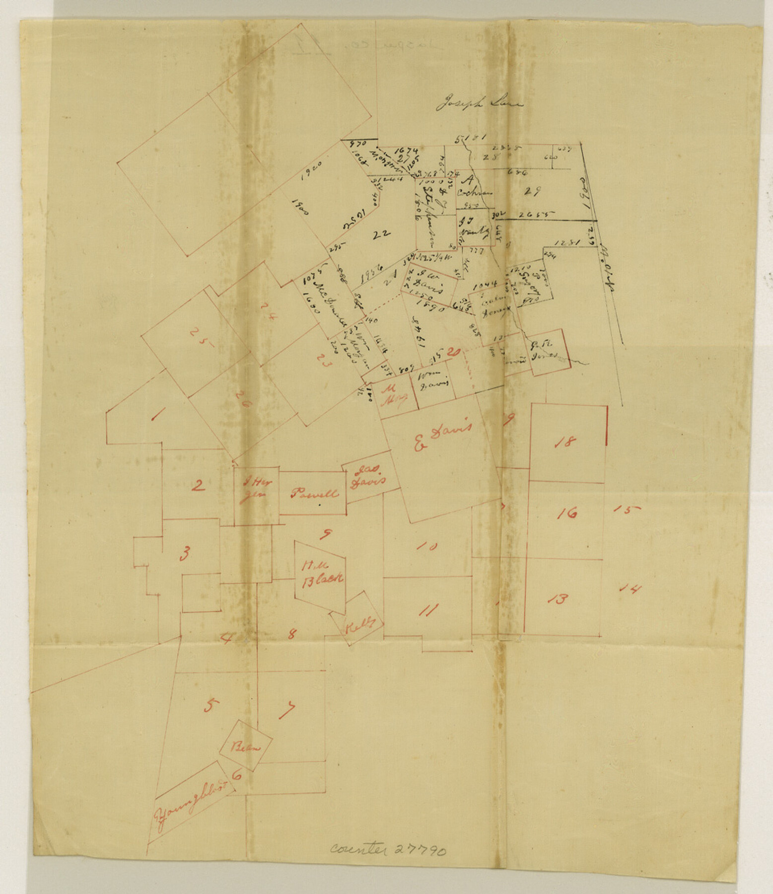
Jasper County Sketch File 11
[Sketch south of Jasper]
-
Map/Doc
27790
-
Collection
General Map Collection
-
Counties
Jasper
-
Subjects
Surveying Sketch File
-
Height x Width
11.1 x 9.6 inches
28.2 x 24.4 cm
-
Medium
paper, manuscript
Part of: General Map Collection
Fort Bend County Working Sketch 20

Print $20.00
- Digital $50.00
Fort Bend County Working Sketch 20
1967
Size 22.4 x 33.4 inches
Map/Doc 69226
Flight Mission No. DCL-7C, Frame 43, Kenedy County

Print $20.00
- Digital $50.00
Flight Mission No. DCL-7C, Frame 43, Kenedy County
1943
Size 15.5 x 15.5 inches
Map/Doc 86031
Maverick County Working Sketch 4

Print $40.00
- Digital $50.00
Maverick County Working Sketch 4
1944
Size 51.3 x 30.7 inches
Map/Doc 70896
Comanche County

Print $20.00
- Digital $50.00
Comanche County
1896
Size 42.2 x 47.6 inches
Map/Doc 66784
Flight Mission No. CGI-1N, Frame 140, Cameron County

Print $20.00
- Digital $50.00
Flight Mission No. CGI-1N, Frame 140, Cameron County
1955
Size 18.7 x 22.3 inches
Map/Doc 84496
Montague County Boundary File 2a

Print $8.00
- Digital $50.00
Montague County Boundary File 2a
Size 13.0 x 8.3 inches
Map/Doc 57410
Map of Cherokee County

Print $40.00
- Digital $50.00
Map of Cherokee County
1933
Size 59.9 x 41.5 inches
Map/Doc 1799
Cooke County Working Sketch 2

Print $20.00
- Digital $50.00
Cooke County Working Sketch 2
1925
Size 22.2 x 10.9 inches
Map/Doc 68239
Flight Mission No. CRC-4R, Frame 79, Chambers County

Print $20.00
- Digital $50.00
Flight Mission No. CRC-4R, Frame 79, Chambers County
1956
Size 18.9 x 22.6 inches
Map/Doc 84883
Crane County Working Sketch 32

Print $20.00
- Digital $50.00
Crane County Working Sketch 32
1984
Size 37.6 x 43.1 inches
Map/Doc 68309
Zavala County Working Sketch 7

Print $20.00
- Digital $50.00
Zavala County Working Sketch 7
1948
Size 19.3 x 17.3 inches
Map/Doc 62082
North Part Brewster Co.

Print $40.00
- Digital $50.00
North Part Brewster Co.
1914
Size 40.1 x 48.6 inches
Map/Doc 66731
You may also like
Ward County Working Sketch 46

Print $20.00
- Digital $50.00
Ward County Working Sketch 46
1974
Size 35.0 x 38.3 inches
Map/Doc 72352
Chambers County Rolled Sketch 27

Print $40.00
- Digital $50.00
Chambers County Rolled Sketch 27
1944
Size 53.2 x 35.4 inches
Map/Doc 8619
Map B [showing surveys along river and in vicinity of Archer County School Land League 3]
![89752, Map B [showing surveys along river and in vicinity of Archer County School Land League 3], Twichell Survey Records](https://historictexasmaps.com/wmedia_w700/maps/89752-1.tif.jpg)
Print $20.00
- Digital $50.00
Map B [showing surveys along river and in vicinity of Archer County School Land League 3]
Size 42.7 x 38.0 inches
Map/Doc 89752
Flight Mission No. CGI-3N, Frame 74, Cameron County

Print $20.00
- Digital $50.00
Flight Mission No. CGI-3N, Frame 74, Cameron County
1954
Size 18.7 x 22.2 inches
Map/Doc 84568
Jackson County Sketch File 16

Print $10.00
- Digital $50.00
Jackson County Sketch File 16
1913
Size 14.3 x 8.7 inches
Map/Doc 27668
Jasper County Sketch File 3

Print $6.00
- Digital $50.00
Jasper County Sketch File 3
Size 10.1 x 15.2 inches
Map/Doc 27768
Presidio County Rolled Sketch 112

Print $20.00
- Digital $50.00
Presidio County Rolled Sketch 112
1972
Size 22.8 x 36.5 inches
Map/Doc 7388
Menard County Boundary File 10

Print $4.00
- Digital $50.00
Menard County Boundary File 10
Size 14.2 x 8.7 inches
Map/Doc 57096
Gaines County Rolled Sketch 12

Print $20.00
- Digital $50.00
Gaines County Rolled Sketch 12
1940
Size 26.6 x 33.8 inches
Map/Doc 5932
Montgomery County Rolled Sketch 26A

Print $20.00
- Digital $50.00
Montgomery County Rolled Sketch 26A
1941
Size 26.9 x 36.8 inches
Map/Doc 6808
General Highway Map, Gonzales County, Texas

Print $20.00
General Highway Map, Gonzales County, Texas
1961
Size 18.2 x 24.7 inches
Map/Doc 79482
Cochran County Boundary File 2

Print $59.00
- Digital $50.00
Cochran County Boundary File 2
Size 14.8 x 9.3 inches
Map/Doc 51466