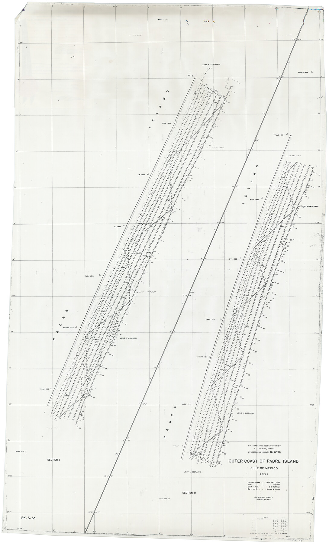
Hydrographic Survey H-6396 of Outer Coast of Padre Island; Gulf of Mexico
True photographic copy from National Ocean Survey
-
Map/Doc
2699
-
Collection
General Map Collection
-
Object Dates
1938 (Creation Date)
-
People and Organizations
U. S. Coast and Geodetic Survey (Author)
-
Subjects
Nautical Charts
-
Height x Width
54.4 x 33.5 inches
138.2 x 85.1 cm
-
Medium
photograph
-
Comments
See 83366 for Certificate
Part of: General Map Collection
Val Verde County Sketch File Z15

Print $22.00
- Digital $50.00
Val Verde County Sketch File Z15
1902
Size 15.2 x 17.2 inches
Map/Doc 39144
Lamb County Sketch File 5

Print $20.00
- Digital $50.00
Lamb County Sketch File 5
Size 23.3 x 31.1 inches
Map/Doc 11971
Coleman County Working Sketch 8

Print $20.00
- Digital $50.00
Coleman County Working Sketch 8
1946
Size 39.3 x 33.3 inches
Map/Doc 68074
Ector County Boundary File 2

Print $4.00
- Digital $50.00
Ector County Boundary File 2
Size 13.2 x 8.2 inches
Map/Doc 52834
Brewster County Rolled Sketch 107

Print $20.00
- Digital $50.00
Brewster County Rolled Sketch 107
Size 22.2 x 11.2 inches
Map/Doc 5259
Panola County Working Sketch 9

Print $20.00
- Digital $50.00
Panola County Working Sketch 9
1943
Map/Doc 71418
Pecos County Sketch File 53

Print $20.00
- Digital $50.00
Pecos County Sketch File 53
Size 18.0 x 38.9 inches
Map/Doc 10569
Gregg County Working Sketch 6

Print $20.00
- Digital $50.00
Gregg County Working Sketch 6
1933
Size 10.2 x 24.1 inches
Map/Doc 63272
Denton County

Print $20.00
- Digital $50.00
Denton County
1947
Size 42.5 x 39.7 inches
Map/Doc 73130
Montgomery County Working Sketch 22

Print $20.00
- Digital $50.00
Montgomery County Working Sketch 22
1936
Size 31.9 x 25.6 inches
Map/Doc 71129
Aransas Pass to Baffin Bay

Print $40.00
- Digital $50.00
Aransas Pass to Baffin Bay
1988
Size 48.7 x 36.0 inches
Map/Doc 73422
Gregg County Rolled Sketch 20

Print $20.00
- Digital $50.00
Gregg County Rolled Sketch 20
1957
Size 34.0 x 44.4 inches
Map/Doc 9070
You may also like
Garza County Rolled Sketch 16

Print $20.00
- Digital $50.00
Garza County Rolled Sketch 16
Size 30.5 x 32.3 inches
Map/Doc 9048
Hutchinson County Rolled Sketch 23

Print $20.00
- Digital $50.00
Hutchinson County Rolled Sketch 23
1913
Size 29.7 x 25.6 inches
Map/Doc 6288
Starr County Rolled Sketch 34

Print $20.00
- Digital $50.00
Starr County Rolled Sketch 34
1945
Size 20.8 x 17.9 inches
Map/Doc 7831
Oldham County Sketch File 2

Print $6.00
- Digital $50.00
Oldham County Sketch File 2
1882
Size 12.7 x 8.2 inches
Map/Doc 33225
Eastland County Working Sketch 55

Print $20.00
- Digital $50.00
Eastland County Working Sketch 55
1984
Size 33.5 x 37.8 inches
Map/Doc 68836
Culberson County Rolled Sketch 29

Print $20.00
- Digital $50.00
Culberson County Rolled Sketch 29
Size 44.3 x 21.4 inches
Map/Doc 8745
Crockett County Sketch File 38

Print $20.00
- Digital $50.00
Crockett County Sketch File 38
1887
Size 20.8 x 30.3 inches
Map/Doc 11220
Map of the River Sabine from Logan's Ferry to 32nd degree of north latitude

Print $3.00
- Digital $50.00
Map of the River Sabine from Logan's Ferry to 32nd degree of north latitude
1841
Size 8.7 x 11.1 inches
Map/Doc 94497
Flight Mission No. DIX-6P, Frame 116, Aransas County

Print $20.00
- Digital $50.00
Flight Mission No. DIX-6P, Frame 116, Aransas County
1956
Size 19.2 x 23.1 inches
Map/Doc 83822
Coke County Rolled Sketch 1

Print $20.00
- Digital $50.00
Coke County Rolled Sketch 1
1943
Size 26.9 x 21.6 inches
Map/Doc 5503
Mapa de los Estados Unidos de Méjico, Segun lo organizado y definido por las varias actas del Congreso de dicha Republica: y construido por las mejores autoridades

Print $20.00
- Digital $50.00
Mapa de los Estados Unidos de Méjico, Segun lo organizado y definido por las varias actas del Congreso de dicha Republica: y construido por las mejores autoridades
1828
Size 30.2 x 42.2 inches
Map/Doc 93933
Brazos Santiago, Texas

Print $20.00
- Digital $50.00
Brazos Santiago, Texas
1867
Size 25.6 x 18.2 inches
Map/Doc 72989