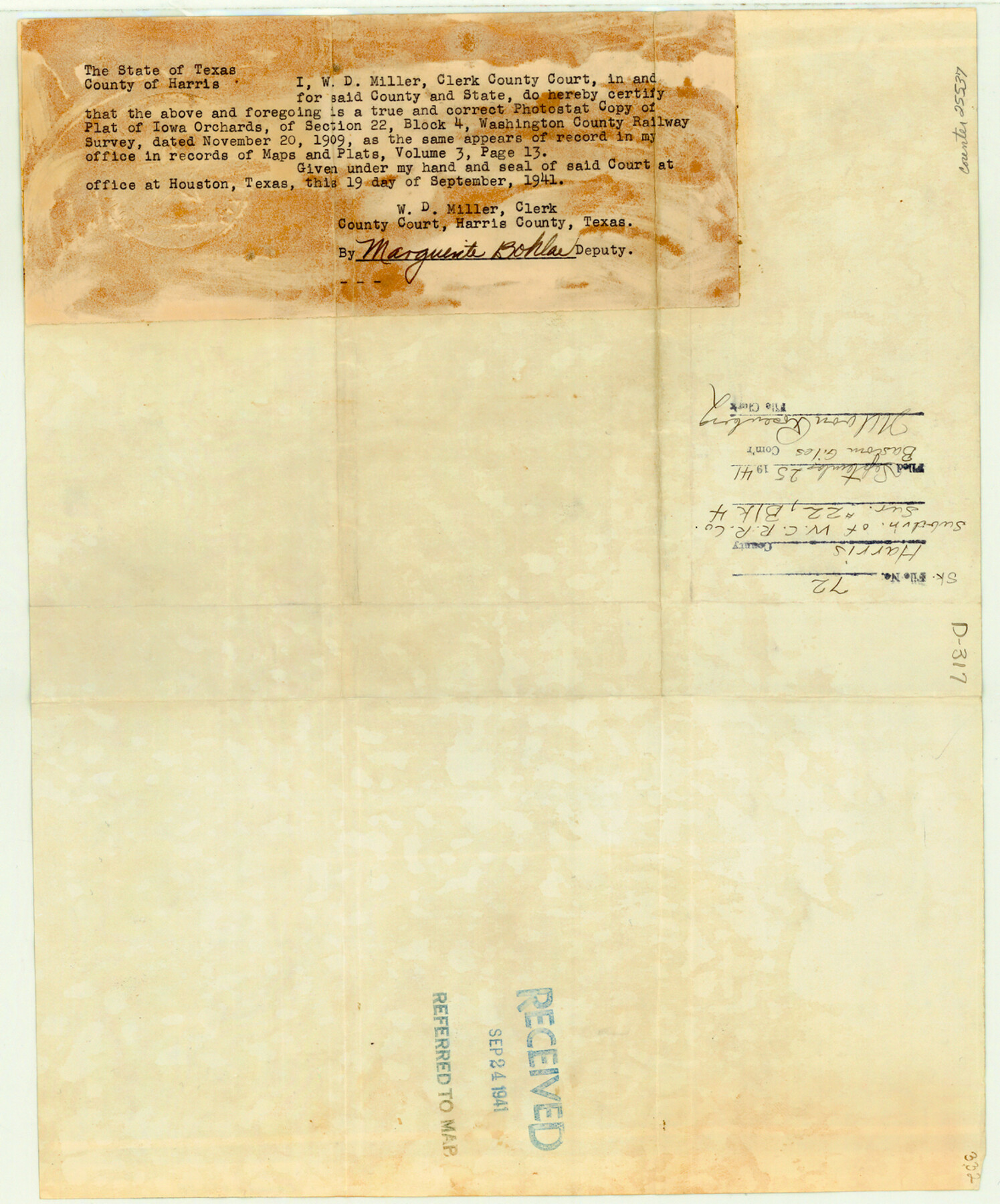
Harris County Sketch File 72
[Sketch of subdivision of W. C. RR. Co. survey 22, Block 4 - Iowa Orchards]
-
Map/Doc
25537
-
Collection
General Map Collection
-
Object Dates
1941/9/19 (Creation Date)
1941/9/25 (File Date)
1909/11/6 (Survey Date)
-
People and Organizations
J.O. Hasom (Surveyor/Engineer)
-
Counties
Harris
-
Subjects
Surveying Sketch File
-
Height x Width
14.2 x 11.8 inches
36.1 x 30.0 cm
-
Medium
photostat, negative
Part of: General Map Collection
Flight Mission No. CUG-2P, Frame 59, Kleberg County

Print $20.00
- Digital $50.00
Flight Mission No. CUG-2P, Frame 59, Kleberg County
1956
Size 18.4 x 22.1 inches
Map/Doc 86196
Hood County Working Sketch 6

Print $40.00
- Digital $50.00
Hood County Working Sketch 6
1969
Size 39.4 x 48.0 inches
Map/Doc 66200
Flight Mission No. BRA-16M, Frame 98, Jefferson County

Print $20.00
- Digital $50.00
Flight Mission No. BRA-16M, Frame 98, Jefferson County
1953
Size 18.7 x 22.4 inches
Map/Doc 85710
Hudspeth County Rolled Sketch 43

Print $40.00
- Digital $50.00
Hudspeth County Rolled Sketch 43
1932
Size 155.2 x 14.6 inches
Map/Doc 9216
Flight Mission No. DAG-22K, Frame 83, Matagorda County

Print $20.00
- Digital $50.00
Flight Mission No. DAG-22K, Frame 83, Matagorda County
1953
Size 18.5 x 18.7 inches
Map/Doc 86467
Map of the Fort Worth & Denver City Railway

Print $40.00
- Digital $50.00
Map of the Fort Worth & Denver City Railway
1887
Size 22.8 x 124.4 inches
Map/Doc 64458
Working Sketch of surveys in Brazoria County, showing Cedar Lakes

Print $40.00
- Digital $50.00
Working Sketch of surveys in Brazoria County, showing Cedar Lakes
1950
Size 31.2 x 57.3 inches
Map/Doc 1932
Map of Chicago, Rock Island & Texas Railway

Print $20.00
- Digital $50.00
Map of Chicago, Rock Island & Texas Railway
1892
Size 22.4 x 44.0 inches
Map/Doc 64443
Brewster County Sketch File N-25

Print $28.00
- Digital $50.00
Brewster County Sketch File N-25
1952
Size 24.4 x 9.1 inches
Map/Doc 15700
Flight Mission No. BRE-2P, Frame 99, Nueces County

Print $20.00
- Digital $50.00
Flight Mission No. BRE-2P, Frame 99, Nueces County
1956
Size 18.5 x 22.3 inches
Map/Doc 86784
United States - Gulf Coast Texas - Southern part of Laguna Madre

Print $20.00
- Digital $50.00
United States - Gulf Coast Texas - Southern part of Laguna Madre
1933
Size 26.8 x 18.3 inches
Map/Doc 72949
Ector County Working Sketch 31

Print $40.00
- Digital $50.00
Ector County Working Sketch 31
1980
Size 36.0 x 51.0 inches
Map/Doc 68874
You may also like
Jeff Davis County Sketch File 8

Print $20.00
- Digital $50.00
Jeff Davis County Sketch File 8
1889
Size 19.5 x 28.5 inches
Map/Doc 11857
Aransas County Sketch File 33

Print $34.00
- Digital $50.00
Aransas County Sketch File 33
1919
Size 14.4 x 8.8 inches
Map/Doc 13303
Nova et Acurata Totius Americae Tabula

Print $40.00
Nova et Acurata Totius Americae Tabula
1608
Size 40.8 x 56.5 inches
Map/Doc 97019
Crockett County Sketch File 80

Print $20.00
- Digital $50.00
Crockett County Sketch File 80
1939
Size 13.5 x 18.8 inches
Map/Doc 11236
Parker County Sketch File 18

Print $4.00
- Digital $50.00
Parker County Sketch File 18
1876
Size 8.9 x 6.3 inches
Map/Doc 33554

General Highway Map, Foard County, Texas

Print $20.00
General Highway Map, Foard County, Texas
1940
Size 18.6 x 25.2 inches
Map/Doc 79092

Val Verde County Sketch File 18

Print $8.00
- Digital $50.00
Val Verde County Sketch File 18
1883
Size 13.1 x 8.4 inches
Map/Doc 39225
[Townships 1, 2, 3, Blocks, 62, 61, 60, 59, 58, 57, 56]
![92884, [Townships 1, 2, 3, Blocks, 62, 61, 60, 59, 58, 57, 56], Twichell Survey Records](https://historictexasmaps.com/wmedia_w700/maps/92884-1.tif.jpg)
Print $20.00
- Digital $50.00
[Townships 1, 2, 3, Blocks, 62, 61, 60, 59, 58, 57, 56]
1885
Size 19.1 x 10.3 inches
Map/Doc 92884
Starr County Working Sketch 21

Print $20.00
- Digital $50.00
Starr County Working Sketch 21
1982
Size 32.6 x 33.7 inches
Map/Doc 63937
[Map showing Block 35, Townships 1N-5N]
![93207, [Map showing Block 35, Townships 1N-5N], Twichell Survey Records](https://historictexasmaps.com/wmedia_w700/maps/93207-1.tif.jpg)
Print $40.00
- Digital $50.00
[Map showing Block 35, Townships 1N-5N]
Size 22.8 x 83.0 inches
Map/Doc 93207