University Lands Blocks 34 to 37, Terrell County
K-8-110a; K-8-212a
-
Map/Doc
2451
-
Collection
General Map Collection
-
Object Dates
1938 (Creation Date)
-
People and Organizations
Frank F. Friend (Surveyor/Engineer)
-
Counties
Terrell
-
Height x Width
32.8 x 40.0 inches
83.3 x 101.6 cm
Part of: General Map Collection
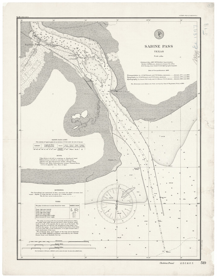
Sabine Pass, Series No. 519

Print $20.00
- Digital $50.00
Sabine Pass, Series No. 519
1888
Size 27.3 x 21.6 inches
Map/Doc 69841
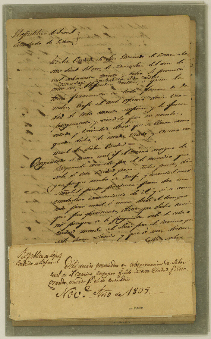
Bexar County Boundary File 1

Print $26.00
- Digital $50.00
Bexar County Boundary File 1
Size 14.6 x 9.1 inches
Map/Doc 50505
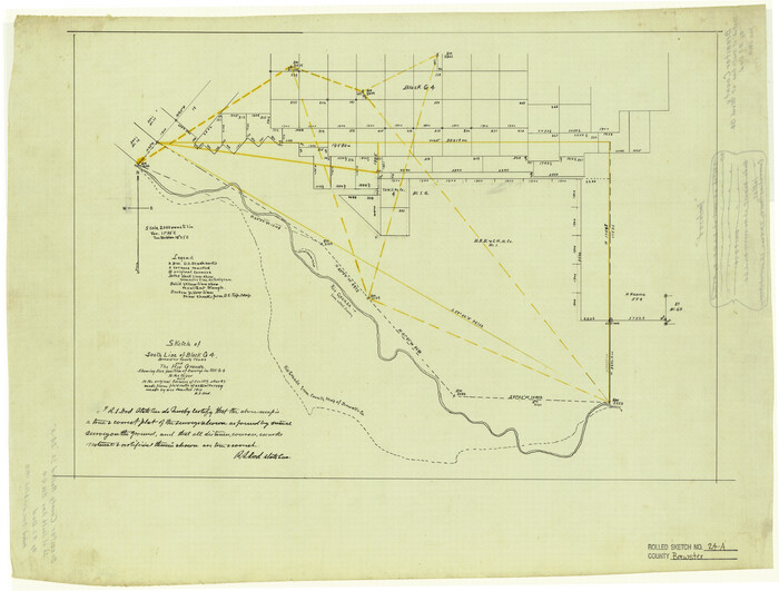
Brewster County Rolled Sketch 24A

Print $20.00
- Digital $50.00
Brewster County Rolled Sketch 24A
1910
Size 19.8 x 26.1 inches
Map/Doc 5208
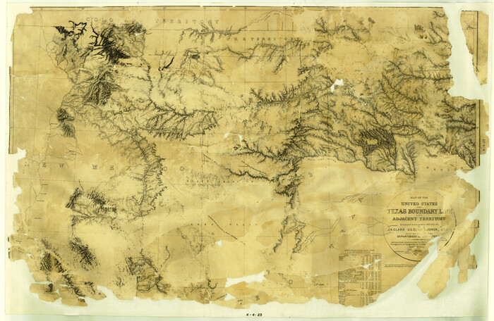
Map of the United States and Texas Boundary Line and Adjacent Territory

Print $20.00
- Digital $50.00
Map of the United States and Texas Boundary Line and Adjacent Territory
1860
Size 26.9 x 41.4 inches
Map/Doc 2129
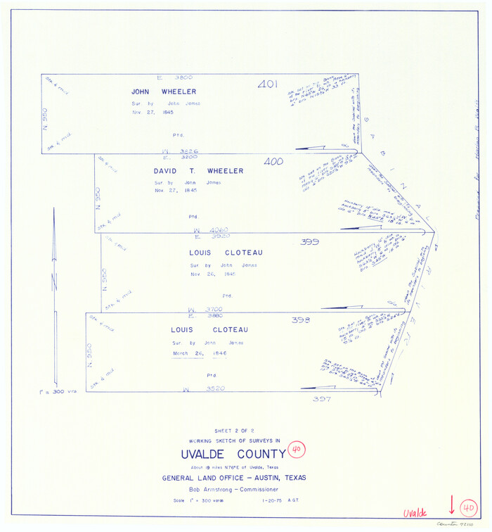
Uvalde County Working Sketch 40

Print $20.00
- Digital $50.00
Uvalde County Working Sketch 40
1975
Size 21.2 x 19.6 inches
Map/Doc 72110
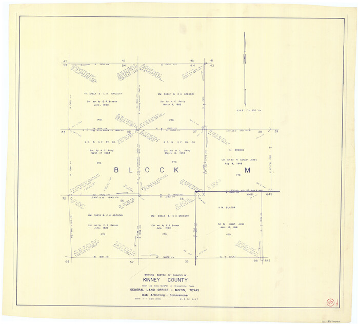
Kinney County Working Sketch 40

Print $20.00
- Digital $50.00
Kinney County Working Sketch 40
1972
Size 30.7 x 34.1 inches
Map/Doc 70222
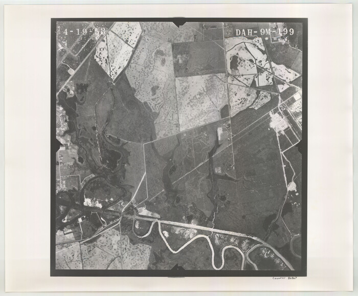
Flight Mission No. DAH-9M, Frame 199, Orange County

Print $20.00
- Digital $50.00
Flight Mission No. DAH-9M, Frame 199, Orange County
1953
Size 18.6 x 22.5 inches
Map/Doc 86867
Gonzales County
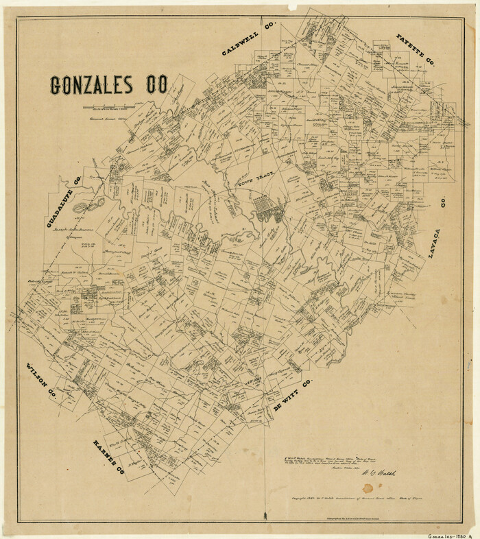

Print $20.00
- Digital $50.00
Gonzales County
1880
Size 25.3 x 22.6 inches
Map/Doc 3594
Polk County Rolled Sketch TMS


Print $40.00
- Digital $50.00
Polk County Rolled Sketch TMS
1937
Size 35.7 x 56.5 inches
Map/Doc 9756
Knox County Sketch File 6A
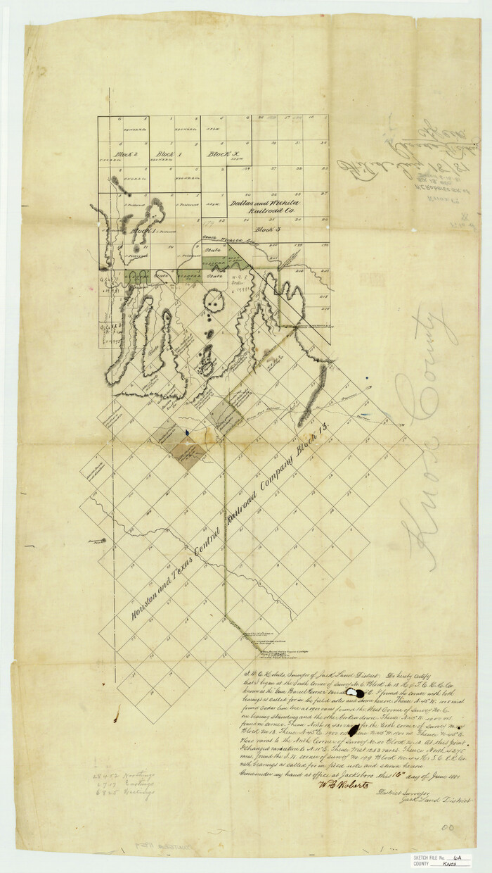

Print $20.00
- Digital $50.00
Knox County Sketch File 6A
1881
Size 32.3 x 18.2 inches
Map/Doc 11954
Harris County Sketch File 98
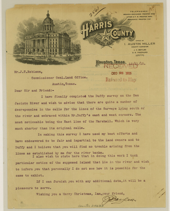

Print $50.00
- Digital $50.00
Harris County Sketch File 98
Size 11.2 x 9.1 inches
Map/Doc 25653
Flight Mission No. CLL-1N, Frame 14, Willacy County


Print $20.00
- Digital $50.00
Flight Mission No. CLL-1N, Frame 14, Willacy County
1954
Size 18.2 x 22.1 inches
Map/Doc 87001
You may also like
Terry County Working Sketch 3


Print $40.00
- Digital $50.00
Terry County Working Sketch 3
1953
Size 125.9 x 28.4 inches
Map/Doc 62108
Garza County Plat


Print $20.00
- Digital $50.00
Garza County Plat
1948
Size 21.1 x 17.7 inches
Map/Doc 92703
Flight Mission No. BQR-4K, Frame 67, Brazoria County


Print $20.00
- Digital $50.00
Flight Mission No. BQR-4K, Frame 67, Brazoria County
1952
Size 18.7 x 22.5 inches
Map/Doc 84000
Webb County Rolled Sketch 56
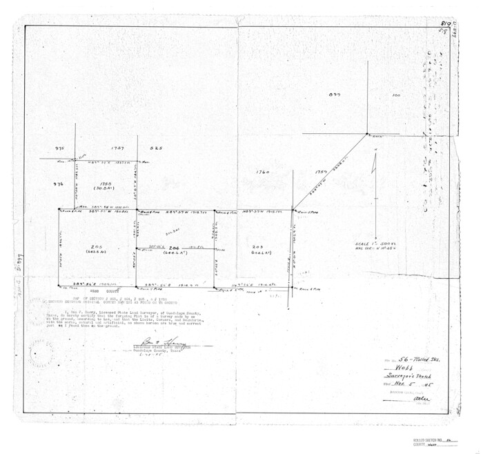

Print $20.00
- Digital $50.00
Webb County Rolled Sketch 56
1945
Size 22.2 x 23.7 inches
Map/Doc 8208
Flight Mission No. DAG-21K, Frame 118, Matagorda County
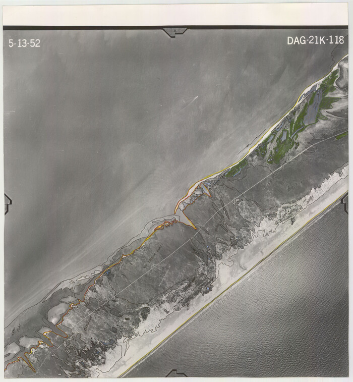

Print $20.00
- Digital $50.00
Flight Mission No. DAG-21K, Frame 118, Matagorda County
1952
Size 17.5 x 16.1 inches
Map/Doc 86442
Flight Mission No. DQN-7K, Frame 93, Calhoun County


Print $20.00
- Digital $50.00
Flight Mission No. DQN-7K, Frame 93, Calhoun County
1953
Size 18.4 x 22.2 inches
Map/Doc 84484
Mills County Sketch File 17
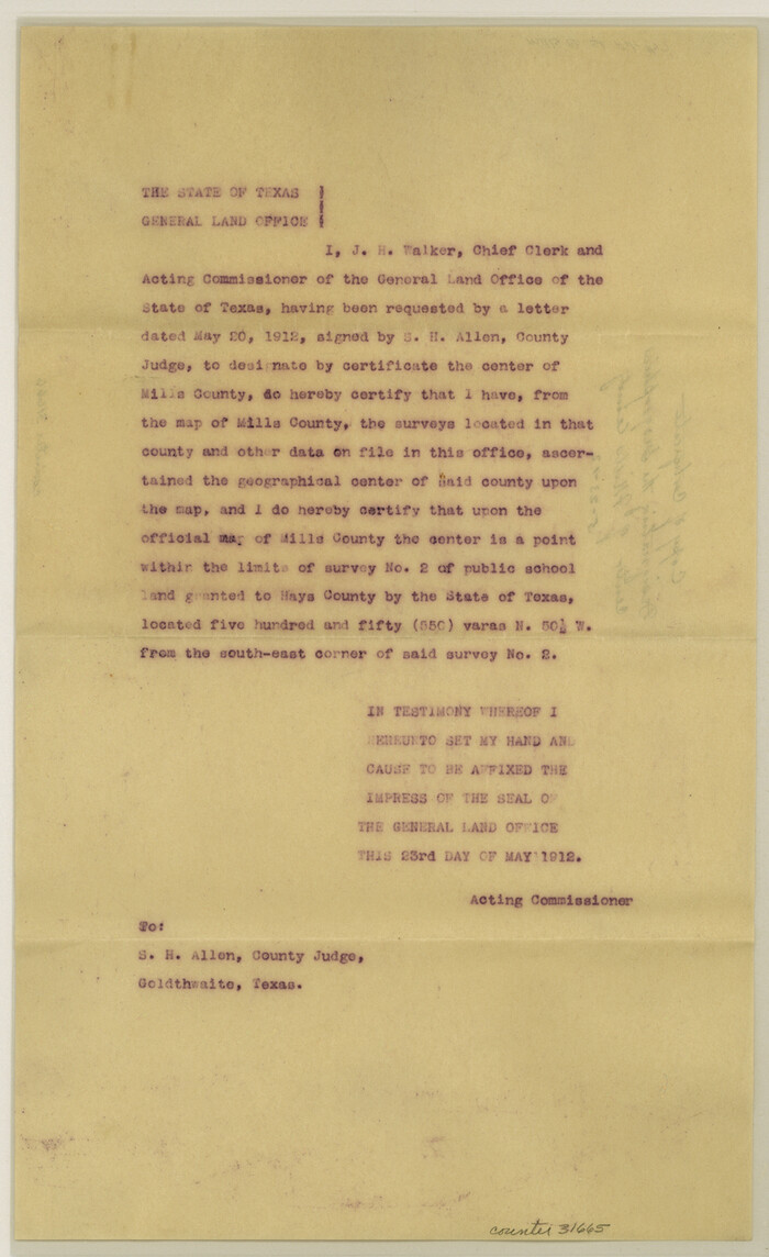

Print $10.00
- Digital $50.00
Mills County Sketch File 17
1912
Size 14.4 x 8.8 inches
Map/Doc 31665
Val Verde County Working Sketch 82
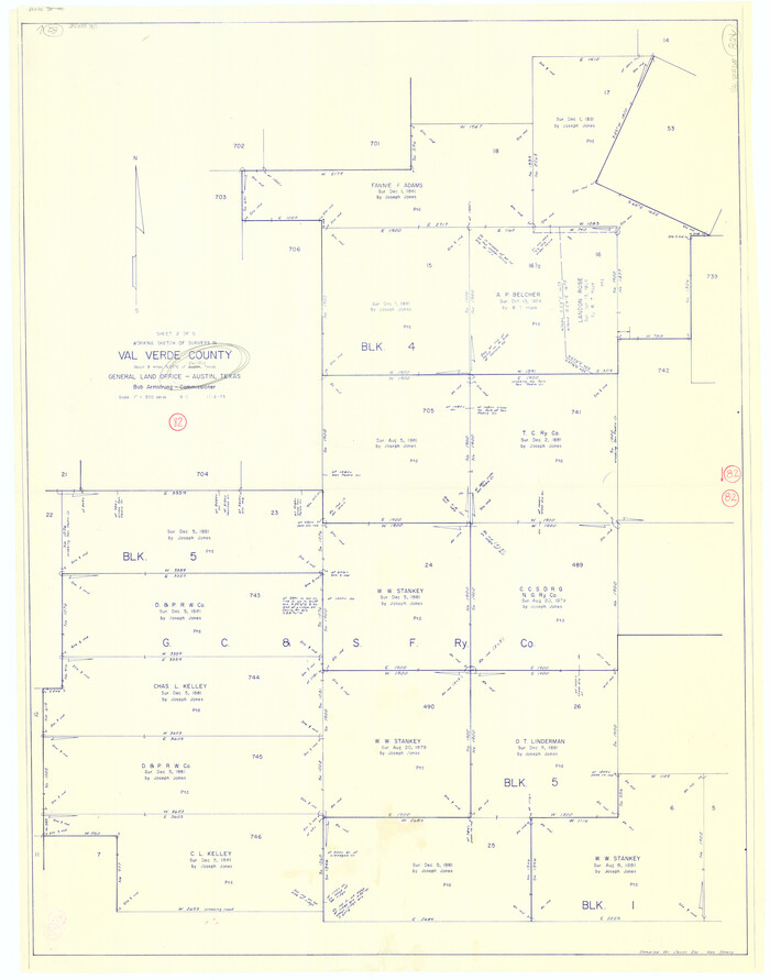

Print $20.00
- Digital $50.00
Val Verde County Working Sketch 82
1973
Size 42.1 x 33.1 inches
Map/Doc 72217
Hidalgo County Working Sketch 6


Print $20.00
- Digital $50.00
Hidalgo County Working Sketch 6
1960
Size 21.4 x 20.4 inches
Map/Doc 66183
Montague County Sketch File 4


Print $22.00
- Digital $50.00
Montague County Sketch File 4
1855
Size 12.7 x 16.1 inches
Map/Doc 31715
Newton County Rolled Sketch 20
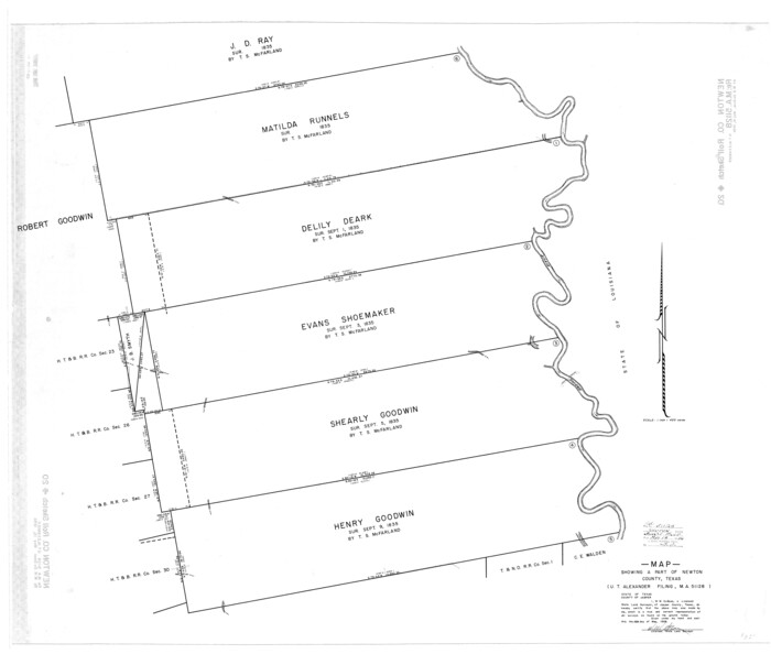

Print $40.00
- Digital $50.00
Newton County Rolled Sketch 20
1956
Size 41.4 x 48.0 inches
Map/Doc 9581

