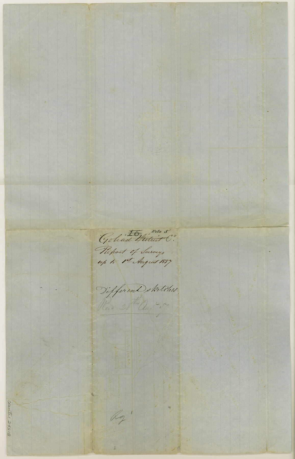
Goliad County Sketch File 5
[Multiple sketches of surveys all over the county]
-
Map/Doc
24218
-
Collection
General Map Collection
-
Object Dates
1857/8/28 (File Date)
-
People and Organizations
Barnard (Surveyor/Engineer)
-
Counties
Goliad
-
Subjects
Surveying Sketch File
-
Height x Width
15.9 x 10.2 inches
40.4 x 25.9 cm
-
Medium
paper, manuscript
-
Features
Medio Creek
Coleto Creek
Perdido Creek
Road to Goliad
Cabeza Creek
San Antonio River
Tapaleato Creek
Aransas
Paesta Creek
Mantas Creek
Sarco Creek
Part of: General Map Collection
Duval County Sketch File 41

Print $20.00
- Digital $50.00
Duval County Sketch File 41
1936
Size 19.6 x 17.2 inches
Map/Doc 11397
Harris County Sketch File 35a

Print $20.00
- Digital $50.00
Harris County Sketch File 35a
1921
Size 25.2 x 30.8 inches
Map/Doc 11651
Texas, Brazos River, Freeport

Print $40.00
- Digital $50.00
Texas, Brazos River, Freeport
1933
Size 28.4 x 48.3 inches
Map/Doc 69994
Montgomery County Working Sketch 62

Print $20.00
- Digital $50.00
Montgomery County Working Sketch 62
1963
Size 18.1 x 21.3 inches
Map/Doc 71169
Jefferson County NRC Article 33.136 Sketch 14

Print $164.00
- Digital $50.00
Jefferson County NRC Article 33.136 Sketch 14
2021
Map/Doc 96645
Part of the boundary between the United States and Texas: from Sabine River northward to the 36th mile mound (A.2)

Print $2.00
- Digital $50.00
Part of the boundary between the United States and Texas: from Sabine River northward to the 36th mile mound (A.2)
1842
Size 12.5 x 7.3 inches
Map/Doc 65387
Bahia de S. Bernardo

Print $20.00
- Digital $50.00
Bahia de S. Bernardo
1809
Size 17.0 x 25.2 inches
Map/Doc 95142
St. Louis, Brownsville & Mexico Railway Location Map from Mile 20 to Mile 40

Print $40.00
- Digital $50.00
St. Louis, Brownsville & Mexico Railway Location Map from Mile 20 to Mile 40
1906
Size 19.3 x 67.5 inches
Map/Doc 64077
Morris County Rolled Sketch 2A

Print $20.00
- Digital $50.00
Morris County Rolled Sketch 2A
Size 24.0 x 18.8 inches
Map/Doc 10254
Milam County Rolled Sketch 3A

Print $40.00
- Digital $50.00
Milam County Rolled Sketch 3A
1967
Size 49.5 x 43.3 inches
Map/Doc 9522
Laguna Madre from Rainy Triangulation Station to Mosquito Triangulation Station

Print $40.00
- Digital $50.00
Laguna Madre from Rainy Triangulation Station to Mosquito Triangulation Station
1881
Size 31.4 x 53.7 inches
Map/Doc 73490
Coast Chart No. 210 Aransas Pass and Corpus Christi Bay with the coast to latitude 27° 12' Texas

Print $20.00
- Digital $50.00
Coast Chart No. 210 Aransas Pass and Corpus Christi Bay with the coast to latitude 27° 12' Texas
1887
Size 27.5 x 18.2 inches
Map/Doc 72802
You may also like
Map of Orange County

Print $20.00
- Digital $50.00
Map of Orange County
1895
Size 15.5 x 16.2 inches
Map/Doc 3932
Preliminary Chart No. 31 of the Sea Coast of the United States from Galveston Bay to Matagorda Bay, Texas

Print $20.00
- Digital $50.00
Preliminary Chart No. 31 of the Sea Coast of the United States from Galveston Bay to Matagorda Bay, Texas
1857
Size 22.7 x 38.7 inches
Map/Doc 69949
Anderson County Sketch File 3

Print $4.00
- Digital $50.00
Anderson County Sketch File 3
1856
Size 12.7 x 8.2 inches
Map/Doc 12741

Jeff Davis County Rolled Sketch 13

Print $73.00
- Digital $50.00
Jeff Davis County Rolled Sketch 13
1921
Size 20.0 x 23.3 inches
Map/Doc 6366
Carte Générale des États-Unis pour servir a l'Histoire de la Louisiane

Print $20.00
- Digital $50.00
Carte Générale des États-Unis pour servir a l'Histoire de la Louisiane
1829
Size 12.0 x 15.9 inches
Map/Doc 97260
Williamson County Sketch File 16a

Print $4.00
- Digital $50.00
Williamson County Sketch File 16a
1870
Size 7.0 x 8.4 inches
Map/Doc 40336
Williamson County Sketch File 29

Print $18.00
- Digital $50.00
Williamson County Sketch File 29
Size 10.2 x 8.2 inches
Map/Doc 40377
Culberson County Working Sketch 42

Print $40.00
- Digital $50.00
Culberson County Working Sketch 42
1970
Size 49.1 x 44.0 inches
Map/Doc 68496
Edwards County Rolled Sketch 15

Print $20.00
- Digital $50.00
Edwards County Rolled Sketch 15
1893
Size 35.5 x 26.4 inches
Map/Doc 5803
Gaines County Boundary File 1

Print $90.00
- Digital $50.00
Gaines County Boundary File 1
Size 14.4 x 9.0 inches
Map/Doc 53626
Fractional Township No. 8 South Range No. 12 East of the Indian Meridian, Indian Territory

Print $20.00
- Digital $50.00
Fractional Township No. 8 South Range No. 12 East of the Indian Meridian, Indian Territory
1896
Size 19.2 x 24.4 inches
Map/Doc 75223