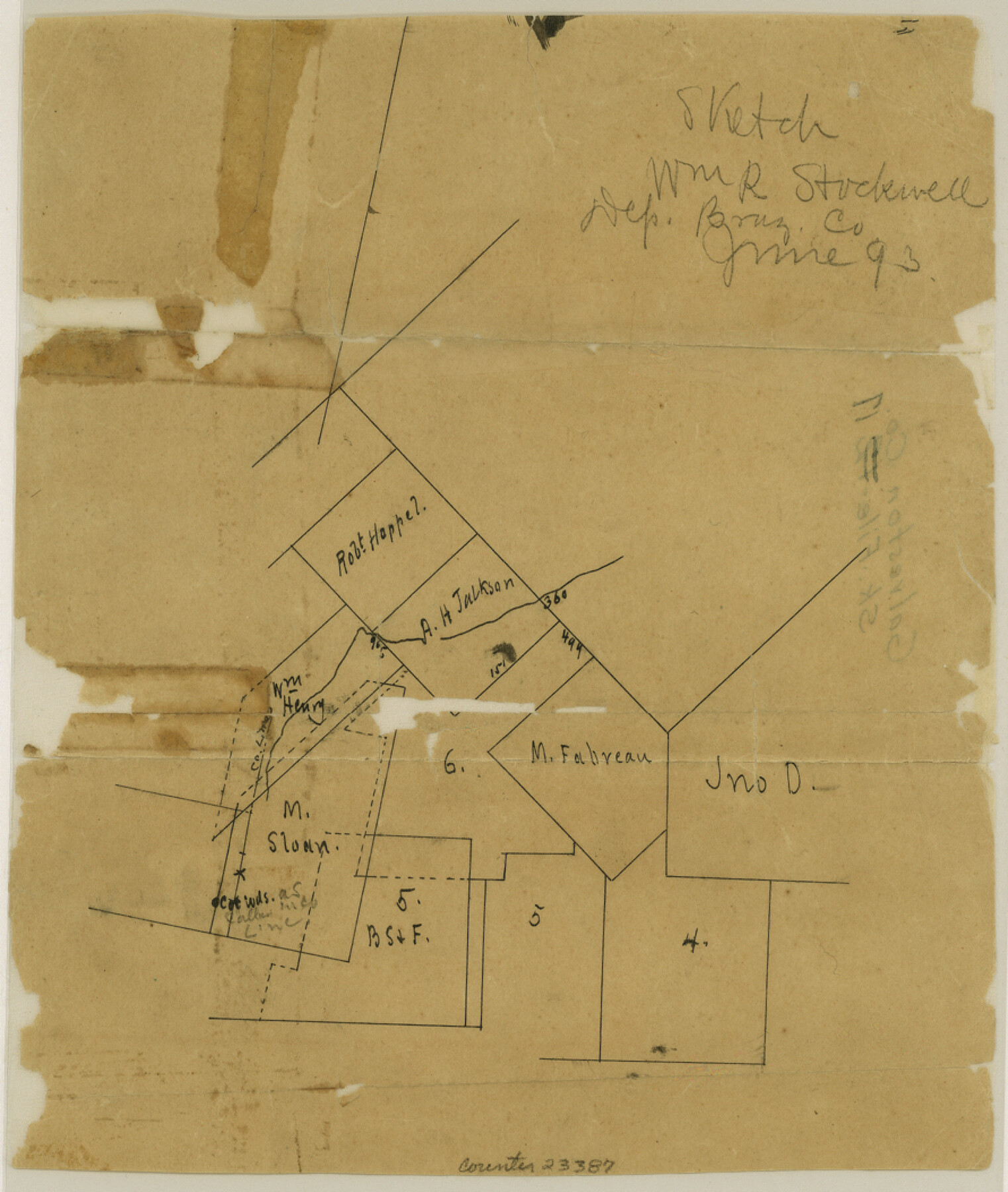
Galveston County Sketch File 17
[Sketch of surveys around M. Fabreau]
-
Map/Doc
23387
-
Collection
General Map Collection
-
Object Dates
1893 (Creation Date)
-
People and Organizations
W.R. Stockwell (Surveyor/Engineer)
-
Counties
Galveston
-
Subjects
Surveying Sketch File
-
Height x Width
10.5 x 8.9 inches
26.7 x 22.6 cm
-
Medium
paper, manuscript
Part of: General Map Collection
[Right of Way Map, Belton Branch of the M.K.&T. RR.]
![64225, [Right of Way Map, Belton Branch of the M.K.&T. RR.], General Map Collection](https://historictexasmaps.com/wmedia_w700/maps/64225.tif.jpg)
Print $20.00
- Digital $50.00
[Right of Way Map, Belton Branch of the M.K.&T. RR.]
1896
Size 7.2 x 21.6 inches
Map/Doc 64225
Flight Mission No. BRE-2P, Frame 122, Nueces County

Print $20.00
- Digital $50.00
Flight Mission No. BRE-2P, Frame 122, Nueces County
1956
Size 18.4 x 22.4 inches
Map/Doc 86798
Kenedy County Aerial Photograph Index Sheet 9

Print $20.00
- Digital $50.00
Kenedy County Aerial Photograph Index Sheet 9
1943
Size 23.6 x 18.5 inches
Map/Doc 83717
Flight Mission No. BRA-7M, Frame 190, Jefferson County

Print $20.00
- Digital $50.00
Flight Mission No. BRA-7M, Frame 190, Jefferson County
1953
Size 18.7 x 22.3 inches
Map/Doc 85558
Stephens County Working Sketch 6

Print $20.00
- Digital $50.00
Stephens County Working Sketch 6
1919
Size 13.1 x 22.0 inches
Map/Doc 63949
Flight Mission No. CUG-3P, Frame 23, Kleberg County

Print $20.00
- Digital $50.00
Flight Mission No. CUG-3P, Frame 23, Kleberg County
1956
Size 18.5 x 22.3 inches
Map/Doc 86233
Cameron County Rolled Sketch 29

Print $20.00
- Digital $50.00
Cameron County Rolled Sketch 29
1990
Size 29.3 x 46.4 inches
Map/Doc 8578
Orange County Boundary File 8

Print $4.00
- Digital $50.00
Orange County Boundary File 8
Size 11.9 x 7.6 inches
Map/Doc 57780
Wood County Boundary File 97

Print $2.00
- Digital $50.00
Wood County Boundary File 97
Size 9.4 x 4.5 inches
Map/Doc 60195
Pecos County Working Sketch 44

Print $20.00
- Digital $50.00
Pecos County Working Sketch 44
1945
Size 29.6 x 35.0 inches
Map/Doc 71516
Tarrant County

Print $20.00
- Digital $50.00
Tarrant County
1873
Size 18.6 x 17.4 inches
Map/Doc 4631
South Part of El Paso Co.

Print $20.00
- Digital $50.00
South Part of El Paso Co.
1977
Size 36.5 x 47.8 inches
Map/Doc 95491
You may also like
Winkler County Rolled Sketch 10

Print $40.00
- Digital $50.00
Winkler County Rolled Sketch 10
1958
Size 29.4 x 55.9 inches
Map/Doc 10151
General Chart of the Coast No. XVI - Gulf Coast from Galveston to the Rio Grande

Print $20.00
- Digital $50.00
General Chart of the Coast No. XVI - Gulf Coast from Galveston to the Rio Grande
1883
Size 26.8 x 18.2 inches
Map/Doc 72736
Stephens County Sketch File 10c

Print $6.00
- Digital $50.00
Stephens County Sketch File 10c
Size 7.8 x 11.5 inches
Map/Doc 37052
Frio County Working Sketch 5

Print $20.00
- Digital $50.00
Frio County Working Sketch 5
1936
Size 33.9 x 23.0 inches
Map/Doc 69279
Hansford County

Print $20.00
- Digital $50.00
Hansford County
1889
Size 22.7 x 18.9 inches
Map/Doc 4558
Block 36, Township 3 North

Print $20.00
- Digital $50.00
Block 36, Township 3 North
Size 12.0 x 15.9 inches
Map/Doc 91289
Sketch in Southeastern Portion of Stephens County

Print $20.00
- Digital $50.00
Sketch in Southeastern Portion of Stephens County
1919
Size 29.0 x 21.7 inches
Map/Doc 91841
Callahan County

Print $20.00
- Digital $50.00
Callahan County
1918
Size 44.6 x 40.2 inches
Map/Doc 4900
[Plat showing traverse line run from I. R. Rock at southeast corner survey 58 northerly to the I. R. Rock corner at the northeast 60]
![91598, [Plat showing traverse line run from I. R. Rock at southeast corner survey 58 northerly to the I. R. Rock corner at the northeast 60], Twichell Survey Records](https://historictexasmaps.com/wmedia_w700/maps/91598-1.tif.jpg)
Print $20.00
- Digital $50.00
[Plat showing traverse line run from I. R. Rock at southeast corner survey 58 northerly to the I. R. Rock corner at the northeast 60]
1935
Size 21.7 x 18.0 inches
Map/Doc 91598
Falls County Boundary File 3

Print $15.00
- Digital $50.00
Falls County Boundary File 3
Size 8.6 x 3.8 inches
Map/Doc 53266

Cameron County Rolled Sketch Z9

Print $8.00
- Digital $50.00
Cameron County Rolled Sketch Z9
1847
Size 17.8 x 10.0 inches
Map/Doc 5407