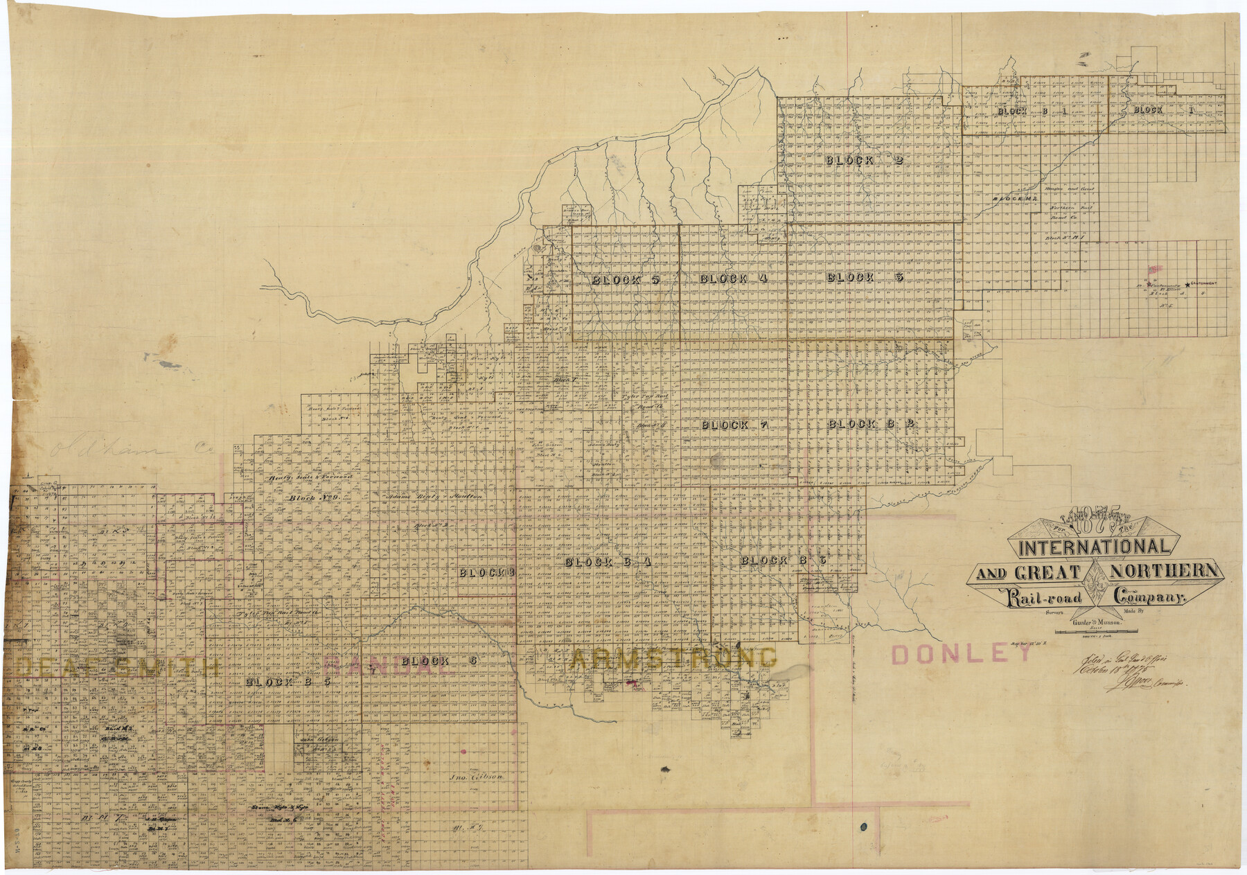
1875 land survey for the International and Great Northern Rail-road Company
N-2-78
-
Map/Doc
2306
-
Collection
General Map Collection
-
Object Dates
1875 (Creation Date)
-
People and Organizations
Gunter and Munson (Author)
-
Counties
Deaf Smith Randall Armstrong Donley
-
Subjects
County
-
Height x Width
42.5 x 60.6 inches
108.0 x 153.9 cm
Part of: General Map Collection
Webb County Rolled Sketch 13

Print $20.00
- Digital $50.00
Webb County Rolled Sketch 13
Size 17.6 x 33.8 inches
Map/Doc 8177
Nueces County Sketch File 19

Print $4.00
- Digital $50.00
Nueces County Sketch File 19
1875
Size 10.5 x 8.4 inches
Map/Doc 32551
Flight Mission No. CRE-2R, Frame 156, Jackson County

Print $20.00
- Digital $50.00
Flight Mission No. CRE-2R, Frame 156, Jackson County
1956
Size 16.2 x 16.1 inches
Map/Doc 85367
Deaf Smith County Sketch File Z

Print $34.00
- Digital $50.00
Deaf Smith County Sketch File Z
1903
Size 9.6 x 4.7 inches
Map/Doc 20651
Collingsworth County Sketch File 11

Print $32.00
- Digital $50.00
Collingsworth County Sketch File 11
1991
Size 11.2 x 8.6 inches
Map/Doc 18893
Garza County Sketch File 5a

Print $20.00
- Digital $50.00
Garza County Sketch File 5a
1895
Size 20.7 x 38.2 inches
Map/Doc 10463
Coleman County Sketch File 34

Print $28.00
- Digital $50.00
Coleman County Sketch File 34
1878
Size 12.8 x 8.1 inches
Map/Doc 18726
Map of 4th Section of 54.68 Miles East from Franklin, Rio Grande Division T. and P. Ry.

Print $40.00
- Digital $50.00
Map of 4th Section of 54.68 Miles East from Franklin, Rio Grande Division T. and P. Ry.
1881
Size 150.0 x 21.9 inches
Map/Doc 64639

Gaines County Rolled Sketch 16

Print $40.00
- Digital $50.00
Gaines County Rolled Sketch 16
1940
Size 51.2 x 36.0 inches
Map/Doc 9039
Bexar County Working Sketch 19

Print $20.00
- Digital $50.00
Bexar County Working Sketch 19
1982
Size 41.8 x 41.7 inches
Map/Doc 67335

You may also like

Grimes County Working Sketch 6

Print $20.00
- Digital $50.00
Grimes County Working Sketch 6
1951
Size 33.2 x 33.4 inches
Map/Doc 63297
Coryell County Sketch File 14

Print $6.00
- Digital $50.00
Coryell County Sketch File 14
1873
Size 5.0 x 7.6 inches
Map/Doc 19368
Liberty County Sketch File 65

Print $4.00
- Digital $50.00
Liberty County Sketch File 65
1895
Size 11.0 x 8.7 inches
Map/Doc 30128
Liberty County Working Sketch 57

Print $40.00
- Digital $50.00
Liberty County Working Sketch 57
1967
Size 52.6 x 40.6 inches
Map/Doc 70517
Val Verde County Rolled Sketch 52

Print $20.00
- Digital $50.00
Val Verde County Rolled Sketch 52
1937
Size 31.8 x 23.0 inches
Map/Doc 8121
La Salle County Rolled Sketch 13

Print $20.00
- Digital $50.00
La Salle County Rolled Sketch 13
1948
Size 28.7 x 34.2 inches
Map/Doc 6576
Dimmit County Sketch File 25

Print $4.00
- Digital $50.00
Dimmit County Sketch File 25
1885
Size 12.9 x 8.6 inches
Map/Doc 21142
Orange County Sketch File 30

Print $20.00
- Digital $50.00
Orange County Sketch File 30
1926
Size 22.7 x 34.4 inches
Map/Doc 12124
Travis County Working Sketch 16

Print $20.00
- Digital $50.00
Travis County Working Sketch 16
1941
Size 17.8 x 20.5 inches
Map/Doc 69400
Lubbock County Rolled Sketch 6

Print $20.00
- Digital $50.00
Lubbock County Rolled Sketch 6
1914
Size 26.0 x 24.1 inches
Map/Doc 6642
Val Verde County Sketch File Z17

Print $24.00
- Digital $50.00
Val Verde County Sketch File Z17
1907
Size 23.7 x 17.5 inches
Map/Doc 12558