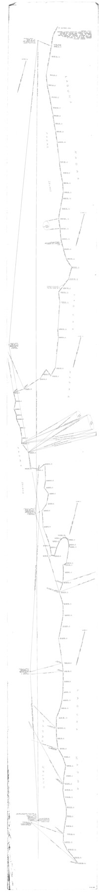
Padre Island
Sketch Showing Parts of Sections 10 and 12 and all of Section 11 of J. S. Boyles' Survey made in 1941
-
Map/Doc
2273
-
Collection
General Map Collection
-
Object Dates
1941 (Creation Date)
-
People and Organizations
Abner G. Trigg (Surveyor/Engineer)
-
Height x Width
241.3 x 30.0 inches
612.9 x 76.2 cm
-
Scale
1" = 500 feet
Part of: General Map Collection

Flight Mission No. DCL-6C, Frame 15, Kenedy County

Print $20.00
- Digital $50.00
Flight Mission No. DCL-6C, Frame 15, Kenedy County
1943
Size 18.7 x 22.4 inches
Map/Doc 85872
Kendall County Boundary File 3

Print $36.00
- Digital $50.00
Kendall County Boundary File 3
Size 9.4 x 37.5 inches
Map/Doc 55756
Kaufman County

Print $20.00
- Digital $50.00
Kaufman County
1942
Size 46.6 x 38.2 inches
Map/Doc 1871
Chambers County Working Sketch 16

Print $20.00
- Digital $50.00
Chambers County Working Sketch 16
1961
Size 32.8 x 30.4 inches
Map/Doc 67999
Comanche County Working Sketch 28

Print $20.00
- Digital $50.00
Comanche County Working Sketch 28
1984
Size 22.9 x 25.7 inches
Map/Doc 68162
Flight Mission No. BRE-2P, Frame 138, Nueces County

Print $20.00
- Digital $50.00
Flight Mission No. BRE-2P, Frame 138, Nueces County
1956
Size 18.5 x 22.2 inches
Map/Doc 86811
Mason County Sketch File 19

Print $20.00
- Digital $50.00
Mason County Sketch File 19
1901
Size 19.1 x 20.9 inches
Map/Doc 12036
Limestone County Working Sketch 23

Print $20.00
- Digital $50.00
Limestone County Working Sketch 23
1980
Size 37.3 x 37.5 inches
Map/Doc 70573
Burnet County Working Sketch 17

Print $20.00
- Digital $50.00
Burnet County Working Sketch 17
1979
Size 41.1 x 34.4 inches
Map/Doc 67860
Limestone County Sketch File 20

Print $44.00
- Digital $50.00
Limestone County Sketch File 20
1922
Size 11.2 x 8.5 inches
Map/Doc 30195
Moore County Working Sketch 4

Print $20.00
- Digital $50.00
Moore County Working Sketch 4
1911
Size 20.1 x 15.6 inches
Map/Doc 71186
You may also like
Upshur County Working Sketch 7

Print $40.00
- Digital $50.00
Upshur County Working Sketch 7
1953
Size 49.0 x 43.1 inches
Map/Doc 69563
Dallas County Boundary File 8 and 8a

Print $4.00
- Digital $50.00
Dallas County Boundary File 8 and 8a
Size 11.2 x 8.7 inches
Map/Doc 52311
[Section 1, Block 12, H. & G. N. RR. Co.]
![91651, [Section 1, Block 12, H. & G. N. RR. Co.], Twichell Survey Records](https://historictexasmaps.com/wmedia_w700/maps/91651-1.tif.jpg)
Print $3.00
- Digital $50.00
[Section 1, Block 12, H. & G. N. RR. Co.]
Size 12.9 x 9.6 inches
Map/Doc 91651
Midland County Rolled Sketch 14

Print $40.00
- Digital $50.00
Midland County Rolled Sketch 14
Size 56.6 x 43.5 inches
Map/Doc 73574
[I. & G. N. Block 1]
![90343, [I. & G. N. Block 1], Twichell Survey Records](https://historictexasmaps.com/wmedia_w700/maps/90343-1.tif.jpg)
Print $20.00
- Digital $50.00
[I. & G. N. Block 1]
Size 13.1 x 18.1 inches
Map/Doc 90343
Cameron County Rolled Sketch 14

Print $53.00
- Digital $50.00
Cameron County Rolled Sketch 14
1954
Size 6.8 x 8.8 inches
Map/Doc 43894
Roberts County Sketch File 2

Print $6.00
- Digital $50.00
Roberts County Sketch File 2
1882
Size 12.8 x 8.0 inches
Map/Doc 35303
Presidio County Rolled Sketch 53

Print $20.00
- Digital $50.00
Presidio County Rolled Sketch 53
1911
Size 13.0 x 22.2 inches
Map/Doc 7346
Travis County Sketch File 22

Print $6.00
- Digital $50.00
Travis County Sketch File 22
1875
Size 8.5 x 8.5 inches
Map/Doc 38327
Working Sketch Bastrop County

Print $20.00
- Digital $50.00
Working Sketch Bastrop County
1923
Size 22.7 x 13.2 inches
Map/Doc 90149
A Topographical Map of the City of Austin

Print $20.00
- Digital $50.00
A Topographical Map of the City of Austin
1872
Size 21.0 x 14.7 inches
Map/Doc 4821
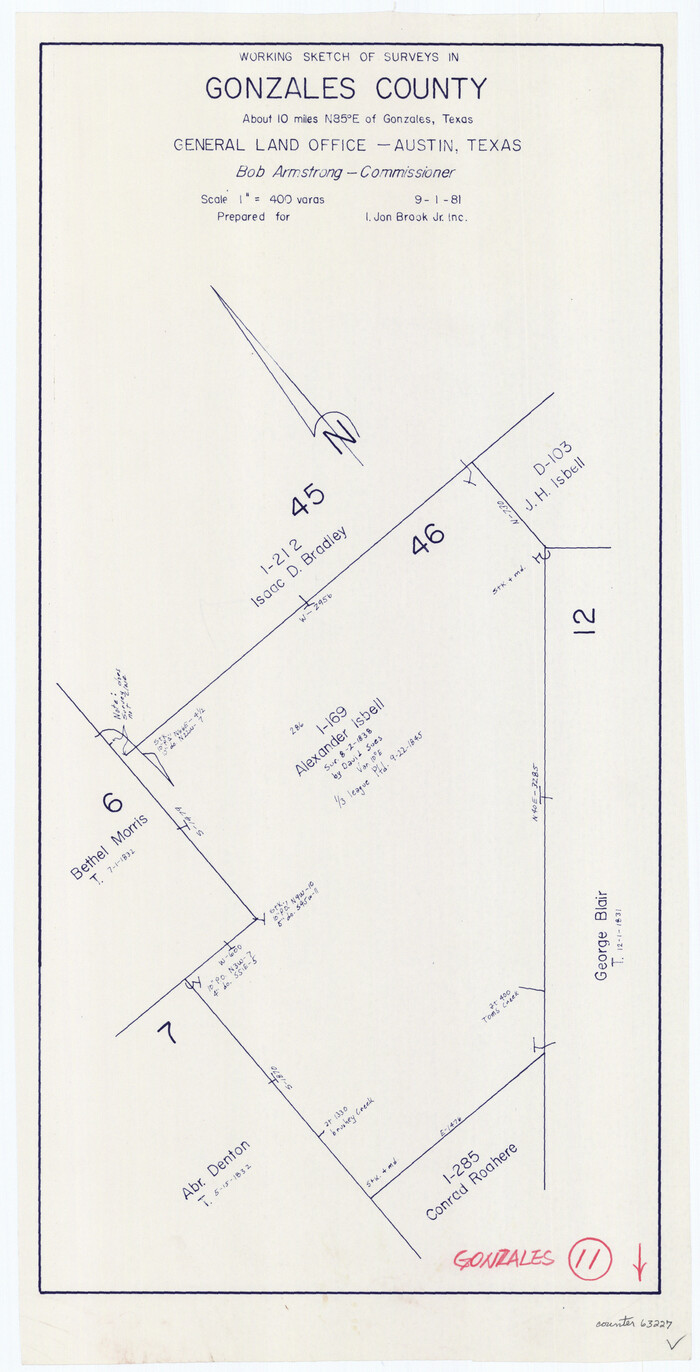
Gonzales County Working Sketch 11
Print $20.00
- Digital $50.00
Gonzales County Working Sketch 11
1981
Size 22.2 x 11.3 inches
Map/Doc 63227