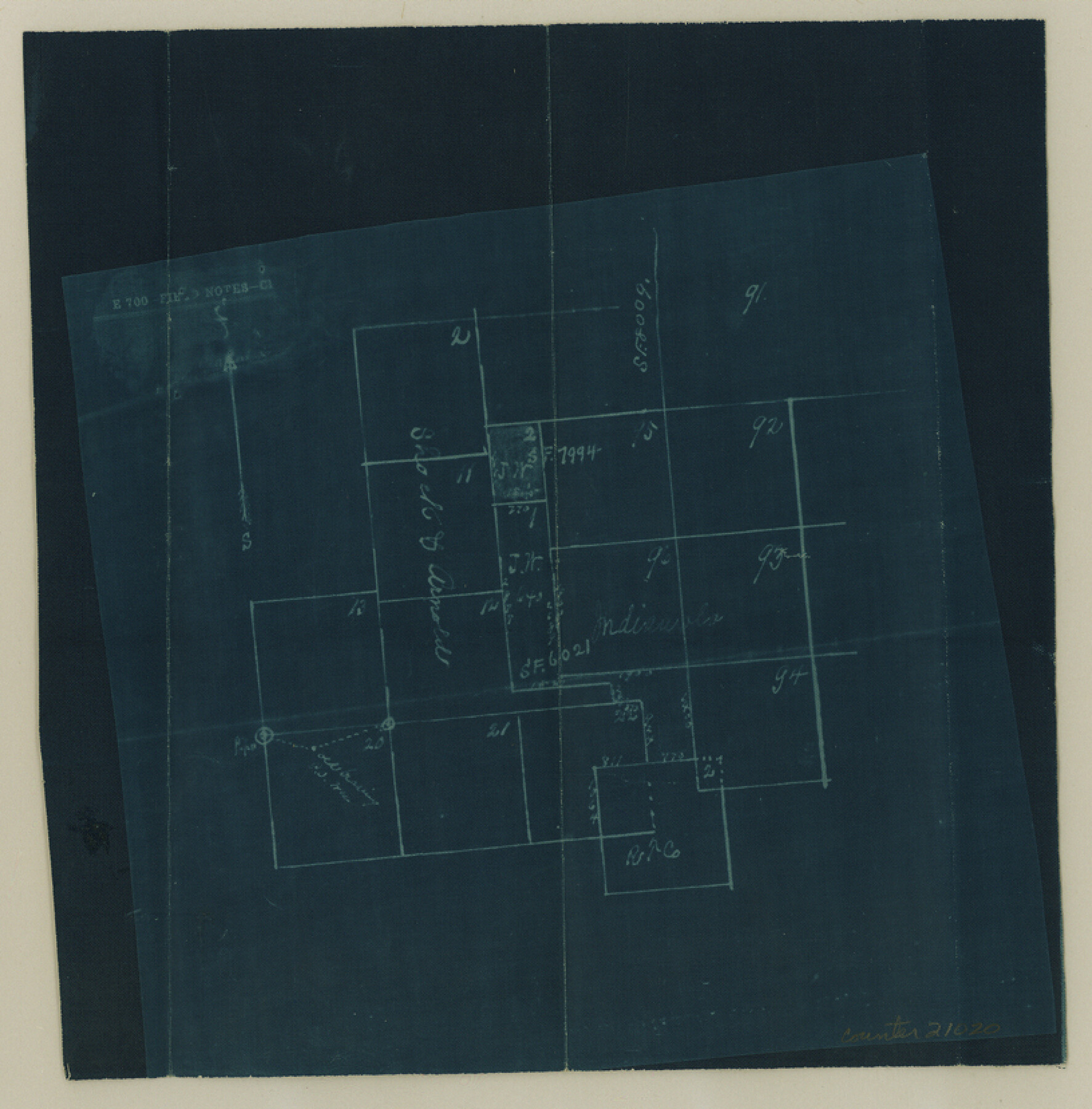
Dickens County Sketch File 30
[Miscellaneous sketches of unknown value]
-
Map/Doc
21020
-
Collection
General Map Collection
-
Counties
Dickens King
-
Subjects
Surveying Sketch File
-
Height x Width
8.3 x 8.2 inches
21.1 x 20.8 cm
-
Medium
multi-page, multi-format
Part of: General Map Collection
[Cotton Belt, St. Louis Southwestern Railway of Texas, Alignment through Smith County]
![64376, [Cotton Belt, St. Louis Southwestern Railway of Texas, Alignment through Smith County], General Map Collection](https://historictexasmaps.com/wmedia_w700/maps/64376-1.tif.jpg)
Print $20.00
- Digital $50.00
[Cotton Belt, St. Louis Southwestern Railway of Texas, Alignment through Smith County]
1903
Size 22.0 x 29.3 inches
Map/Doc 64376
El Paso County Rolled Sketch 10

Print $93.00
- Digital $50.00
El Paso County Rolled Sketch 10
1883
Size 42.4 x 61.3 inches
Map/Doc 8853
Part of Laguna Madre in Willacy and Cameron Counties, showing Subdivision for Mineral Development

Print $20.00
- Digital $50.00
Part of Laguna Madre in Willacy and Cameron Counties, showing Subdivision for Mineral Development
1950
Size 45.1 x 36.8 inches
Map/Doc 1925
Jefferson County Working Sketch 1

Print $20.00
- Digital $50.00
Jefferson County Working Sketch 1
Size 22.7 x 17.5 inches
Map/Doc 66544
Chambers County Sketch File 18

Print $40.00
- Digital $50.00
Chambers County Sketch File 18
1879
Size 24.6 x 8.1 inches
Map/Doc 17569
Atascosa County

Print $20.00
- Digital $50.00
Atascosa County
1948
Size 47.2 x 46.3 inches
Map/Doc 95421
Dickens County Sketch File GW3

Print $40.00
- Digital $50.00
Dickens County Sketch File GW3
Size 13.9 x 26.6 inches
Map/Doc 11335
Concho County Sketch File 50

Print $20.00
- Digital $50.00
Concho County Sketch File 50
1890
Size 15.9 x 13.6 inches
Map/Doc 19217
Kent County Boundary File 12

Print $30.00
- Digital $50.00
Kent County Boundary File 12
Size 10.5 x 8.2 inches
Map/Doc 55897
Jim Wells County Working Sketch 14

Print $20.00
- Digital $50.00
Jim Wells County Working Sketch 14
1981
Size 18.1 x 30.0 inches
Map/Doc 66612
Throckmorton County Sketch File 7a

Print $6.00
- Digital $50.00
Throckmorton County Sketch File 7a
1898
Size 13.9 x 6.7 inches
Map/Doc 38094
Dawson County Sketch File 1

Print $6.00
- Digital $50.00
Dawson County Sketch File 1
Size 7.5 x 3.9 inches
Map/Doc 20495
You may also like
Taylor County Rolled Sketch 24

Print $20.00
- Digital $50.00
Taylor County Rolled Sketch 24
Size 19.6 x 22.7 inches
Map/Doc 7916
Texas Official Travel Map [Major Metropolitan Areas]
![96830, Texas Official Travel Map [Major Metropolitan Areas], General Map Collection](https://historictexasmaps.com/wmedia_w700/maps/96830.tif.jpg)
Texas Official Travel Map [Major Metropolitan Areas]
2008
Size 33.2 x 36.1 inches
Map/Doc 96830
Victoria County Sketch File 6

Print $2.00
- Digital $50.00
Victoria County Sketch File 6
Size 5.3 x 12.5 inches
Map/Doc 39523
Tom Green County Rolled Sketch 16

Print $20.00
- Digital $50.00
Tom Green County Rolled Sketch 16
1954
Size 38.2 x 44.6 inches
Map/Doc 10004
Lipscomb County Boundary File 4

Print $14.00
- Digital $50.00
Lipscomb County Boundary File 4
Size 11.1 x 8.6 inches
Map/Doc 56320
Map [showing surveys 820-829] Along Red River
![89813, Map [showing surveys 820-829] Along Red River, Twichell Survey Records](https://historictexasmaps.com/wmedia_w700/maps/89813-1.tif.jpg)
Print $20.00
- Digital $50.00
Map [showing surveys 820-829] Along Red River
1920
Size 40.4 x 45.2 inches
Map/Doc 89813
"L" Sketch from Ward and Crane Cos.

Print $20.00
- Digital $50.00
"L" Sketch from Ward and Crane Cos.
Size 28.7 x 20.8 inches
Map/Doc 91961
[I. & G. N. Block 1]
![90343, [I. & G. N. Block 1], Twichell Survey Records](https://historictexasmaps.com/wmedia_w700/maps/90343-1.tif.jpg)
Print $20.00
- Digital $50.00
[I. & G. N. Block 1]
Size 13.1 x 18.1 inches
Map/Doc 90343
"Pancho Villa Meets Genl. John J. Pershing"

Print $20.00
"Pancho Villa Meets Genl. John J. Pershing"
Size 16.0 x 20.0 inches
Map/Doc 94146
Railroad map of the state of Texas / compiled and engraved expressly for the American railroad manual.

Print $20.00
Railroad map of the state of Texas / compiled and engraved expressly for the American railroad manual.
1873
Size 13.4 x 9.5 inches
Map/Doc 93599
Culberson County Working Sketch 59

Print $20.00
- Digital $50.00
Culberson County Working Sketch 59
1974
Size 46.4 x 37.7 inches
Map/Doc 68513
Map of the Lands Surveyed by the Memphis, El Paso & Pacific R.R. Company

Print $20.00
- Digital $50.00
Map of the Lands Surveyed by the Memphis, El Paso & Pacific R.R. Company
1859
Size 11.4 x 18.6 inches
Map/Doc 4850