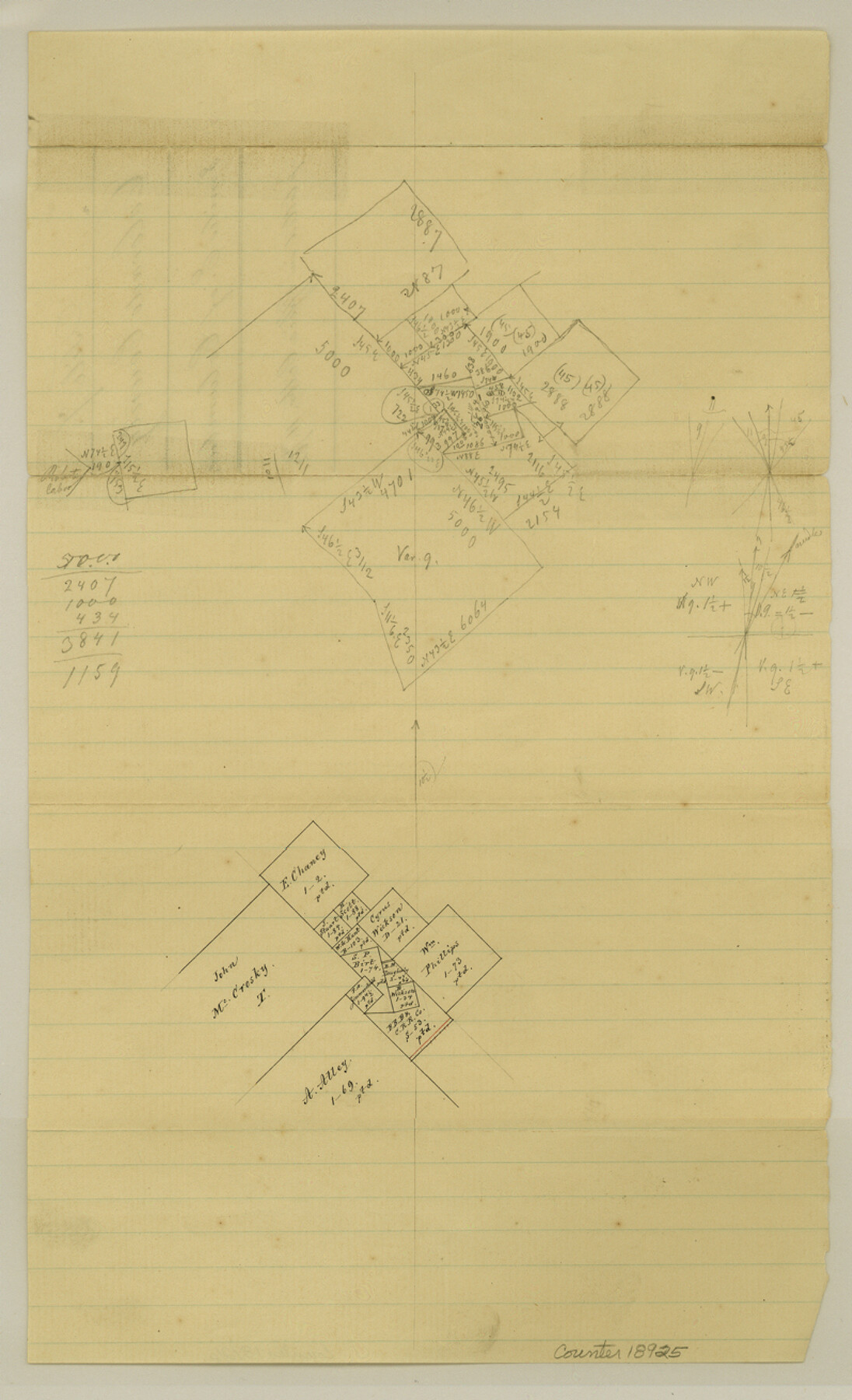
Colorado County Sketch File 7
[Office sketch of surveys east of Columbus]
-
Map/Doc
18925
-
Collection
General Map Collection
-
Object Dates
1862/10/11 (File Date)
1862/10/11 (Creation Date)
-
Counties
Colorado
-
Subjects
Surveying Sketch File
-
Height x Width
13.1 x 8.0 inches
33.3 x 20.3 cm
-
Medium
paper, manuscript
Part of: General Map Collection
Leon County Sketch File 37

Print $90.00
- Digital $50.00
Leon County Sketch File 37
1965
Size 11.2 x 8.8 inches
Map/Doc 29853
Jefferson County Sketch File 40

Print $16.00
- Digital $50.00
Jefferson County Sketch File 40
1947
Size 12.3 x 7.9 inches
Map/Doc 28228
Hopkins County Rolled Sketch 1

Print $20.00
- Digital $50.00
Hopkins County Rolled Sketch 1
Size 34.5 x 40.0 inches
Map/Doc 6224
Haskell County Sketch File 9

Print $30.00
- Digital $50.00
Haskell County Sketch File 9
Size 23.2 x 14.9 inches
Map/Doc 26130
Galveston County NRC Article 33.136 Location Key Sheet

Print $20.00
- Digital $50.00
Galveston County NRC Article 33.136 Location Key Sheet
1994
Size 27.0 x 21.8 inches
Map/Doc 77016
Pecos County Sketch File 64

Print $12.00
- Digital $50.00
Pecos County Sketch File 64
1919
Size 11.1 x 8.8 inches
Map/Doc 33818
Edwards County Working Sketch 112

Print $20.00
- Digital $50.00
Edwards County Working Sketch 112
1972
Size 20.0 x 26.4 inches
Map/Doc 68988
Map of Starr County

Print $20.00
- Digital $50.00
Map of Starr County
1896
Size 43.7 x 26.9 inches
Map/Doc 4050
Map of Falls County

Print $20.00
- Digital $50.00
Map of Falls County
1874
Size 19.8 x 22.6 inches
Map/Doc 3530
Hays County Rolled Sketch 23

Print $20.00
- Digital $50.00
Hays County Rolled Sketch 23
Size 20.1 x 19.4 inches
Map/Doc 6179
Austin County Sketch File 7

Print $40.00
- Digital $50.00
Austin County Sketch File 7
1894
Size 18.8 x 15.7 inches
Map/Doc 10872
Callahan County Rolled Sketch 1

Print $20.00
- Digital $50.00
Callahan County Rolled Sketch 1
1944
Size 26.9 x 26.3 inches
Map/Doc 5379
You may also like
[Block K5, Section 13]
![91453, [Block K5, Section 13], Twichell Survey Records](https://historictexasmaps.com/wmedia_w700/maps/91453-1.tif.jpg)
Print $20.00
- Digital $50.00
[Block K5, Section 13]
Size 20.7 x 17.2 inches
Map/Doc 91453
Culberson County Sketch File 19

Print $20.00
- Digital $50.00
Culberson County Sketch File 19
1940
Size 11.6 x 20.4 inches
Map/Doc 11269
![94186, Texas [Verso], General Map Collection](https://historictexasmaps.com/wmedia_w700/maps/94186.tif.jpg)
Map of Texas and Pacific Ry. Company's Surveys in the 80 Mile Reserve

Print $40.00
- Digital $50.00
Map of Texas and Pacific Ry. Company's Surveys in the 80 Mile Reserve
1885
Map/Doc 2241
Real County Working Sketch 66

Print $6.00
- Digital $50.00
Real County Working Sketch 66
1970
Size 35.5 x 29.4 inches
Map/Doc 71958
Brewster County Rolled Sketch 26

Print $20.00
- Digital $50.00
Brewster County Rolled Sketch 26
Size 15.8 x 32.0 inches
Map/Doc 5214
Andrews County Working Sketch 2

Print $20.00
- Digital $50.00
Andrews County Working Sketch 2
1949
Size 23.2 x 23.7 inches
Map/Doc 67048
Andrews County Working Sketch 21

Print $40.00
- Digital $50.00
Andrews County Working Sketch 21
1979
Size 38.7 x 48.4 inches
Map/Doc 67067
Jack County Working Sketch 12

Print $20.00
- Digital $50.00
Jack County Working Sketch 12
1959
Size 18.0 x 22.4 inches
Map/Doc 66438
Culberson County Working Sketch 26

Print $20.00
- Digital $50.00
Culberson County Working Sketch 26
1951
Size 42.7 x 28.3 inches
Map/Doc 68479
Presidio County Rolled Sketch 93

Print $20.00
- Digital $50.00
Presidio County Rolled Sketch 93
Size 35.5 x 31.1 inches
Map/Doc 7378
Flight Mission No. DAG-21K, Frame 100, Matagorda County

Print $20.00
- Digital $50.00
Flight Mission No. DAG-21K, Frame 100, Matagorda County
1952
Size 18.6 x 22.3 inches
Map/Doc 86429