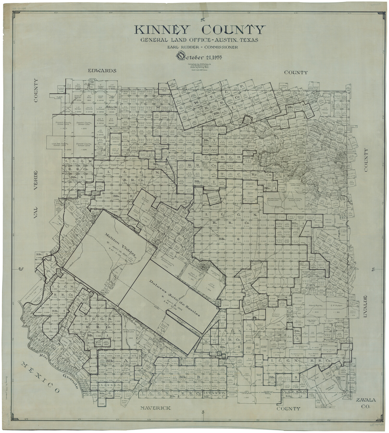
Kinney County
RM-3-136
-
Map/Doc
1877
-
Collection
General Map Collection
-
Object Dates
10/21/1955 (Creation Date)
-
People and Organizations
Texas General Land Office (Publisher)
Herman H. Forbes Jr. (Compiler)
J. Earl Rudder (GLO Commissioner)
Tommye Buie (Draftsman)
W. S. Brewington (Compiler)
-
Counties
Kinney
-
Subjects
County
-
Height x Width
51.0 x 46.3 inches
129.5 x 117.6 cm
Part of: General Map Collection
Anderson County

Print $20.00
- Digital $50.00
Anderson County
1871
Size 20.2 x 21.9 inches
Map/Doc 3227
Harris County Rolled Sketch 87

Print $40.00
- Digital $50.00
Harris County Rolled Sketch 87
Size 45.2 x 49.8 inches
Map/Doc 9141
Glasscock County Working Sketch 7


Print $20.00
- Digital $50.00
Glasscock County Working Sketch 7
1952
Size 36.8 x 31.9 inches
Map/Doc 63180
Flight Mission No. DQN-2K, Frame 145, Calhoun County
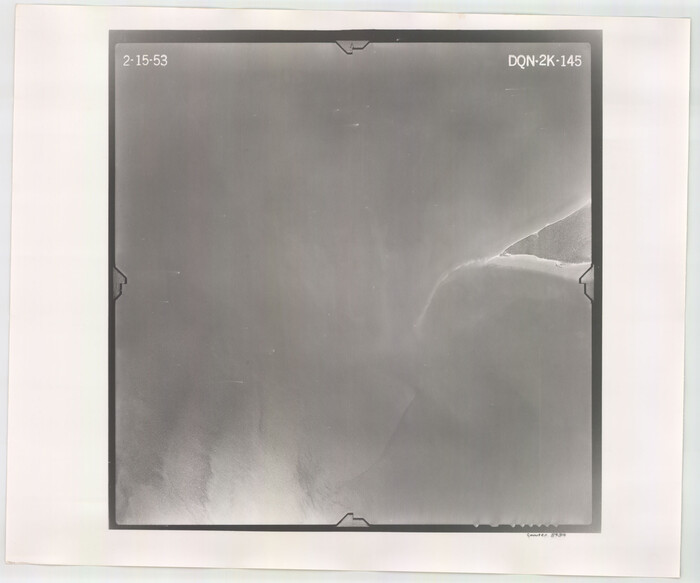

Print $20.00
- Digital $50.00
Flight Mission No. DQN-2K, Frame 145, Calhoun County
1953
Size 18.9 x 22.7 inches
Map/Doc 84314
Randall County Sketch File 1


Print $50.00
- Digital $50.00
Randall County Sketch File 1
1912
Size 24.6 x 35.6 inches
Map/Doc 12205
Right of Way and Track Map Houston & Texas Central R.R. operated by the T. & N.O. R.R. Co., Austin Branch


Print $40.00
- Digital $50.00
Right of Way and Track Map Houston & Texas Central R.R. operated by the T. & N.O. R.R. Co., Austin Branch
1918
Size 26.0 x 58.4 inches
Map/Doc 64556
Travis County Sketch File 50
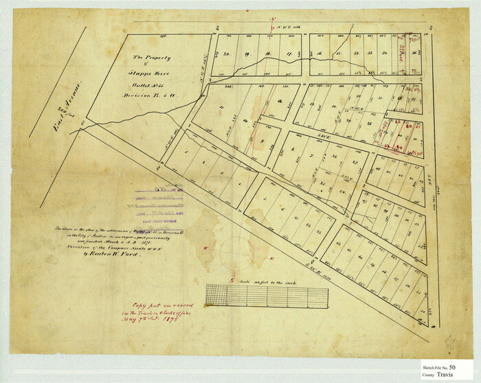

Print $20.00
- Digital $50.00
Travis County Sketch File 50
1871
Size 18.7 x 23.5 inches
Map/Doc 12469
Newton County Aerial Photograph Index Sheet 6
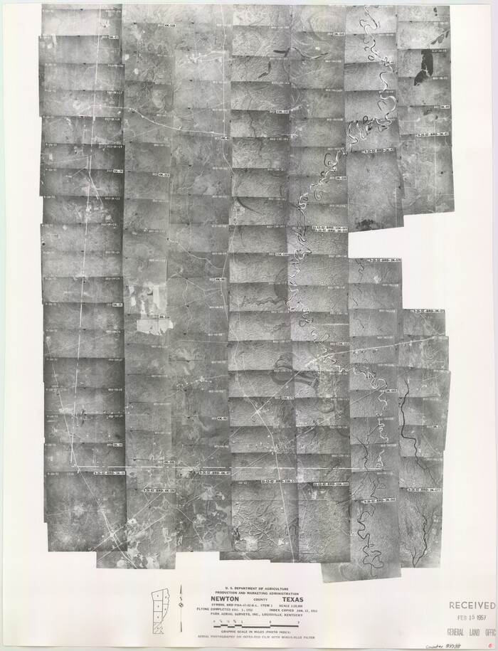

Print $20.00
- Digital $50.00
Newton County Aerial Photograph Index Sheet 6
1953
Size 24.0 x 18.4 inches
Map/Doc 83735
Kleberg County Rolled Sketch 10-1
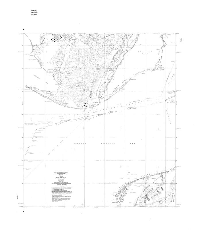

Print $20.00
- Digital $50.00
Kleberg County Rolled Sketch 10-1
1951
Size 36.9 x 32.2 inches
Map/Doc 9383
Kendall County Working Sketch 15
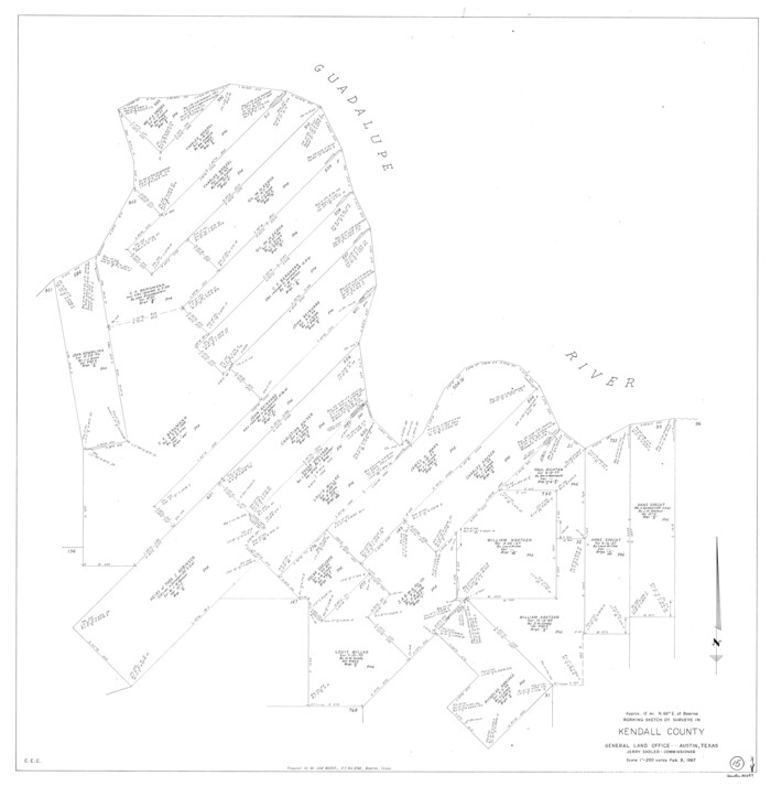

Print $20.00
- Digital $50.00
Kendall County Working Sketch 15
1967
Size 41.4 x 40.7 inches
Map/Doc 66687
Archer County Sketch File 31
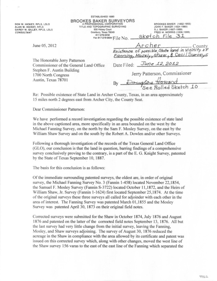

Print $8.00
- Digital $50.00
Archer County Sketch File 31
2012
Size 11.0 x 8.5 inches
Map/Doc 93322
You may also like
Flight Mission No. CRC-3R, Frame 44, Chambers County

Print $20.00
- Digital $50.00
Flight Mission No. CRC-3R, Frame 44, Chambers County
1956
Size 18.6 x 22.3 inches
Map/Doc 84817
Montgomery County Rolled Sketch 44
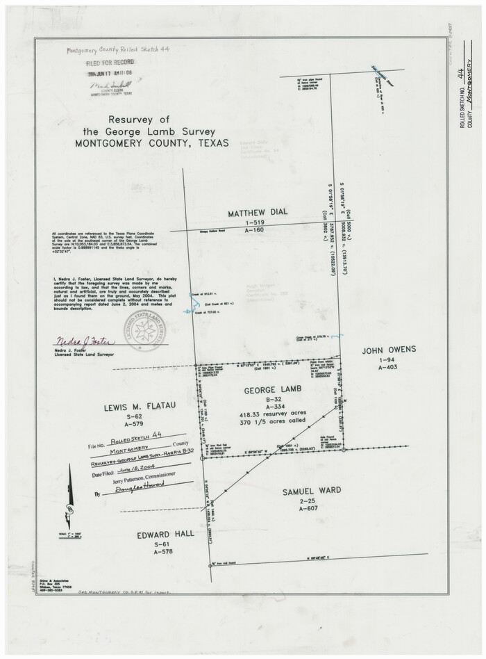

Print $20.00
- Digital $50.00
Montgomery County Rolled Sketch 44
2004
Size 24.5 x 18.1 inches
Map/Doc 82451
Jefferson County Rolled Sketch 64


Print $20.00
- Digital $50.00
Jefferson County Rolled Sketch 64
1982
Size 26.7 x 37.4 inches
Map/Doc 9319
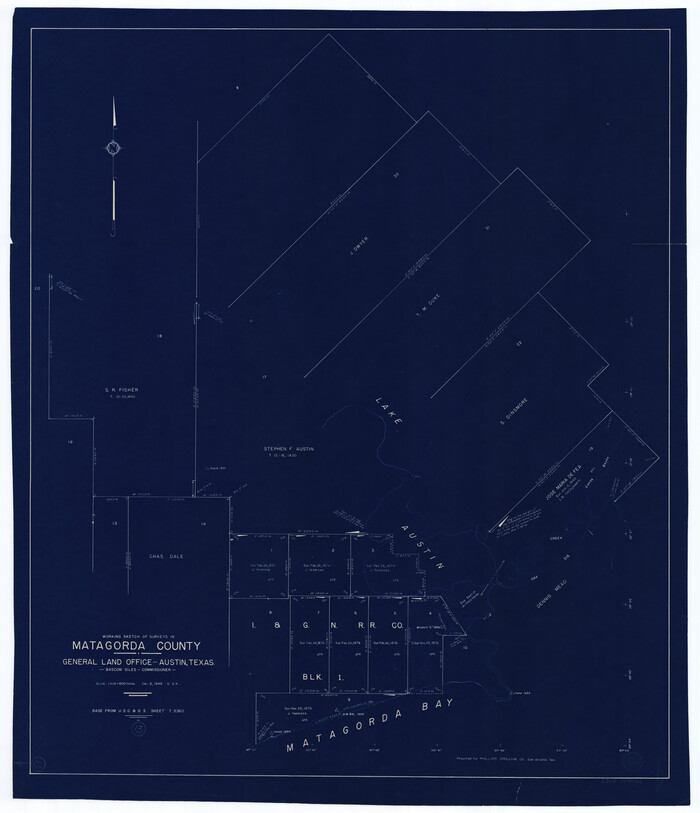
Matagorda County Working Sketch 13

Print $20.00
- Digital $50.00
Matagorda County Working Sketch 13
1949
Size 41.5 x 35.7 inches
Map/Doc 70871
General Highway Map, Kleberg County, Texas


Print $20.00
General Highway Map, Kleberg County, Texas
1961
Size 24.6 x 18.3 inches
Map/Doc 79559
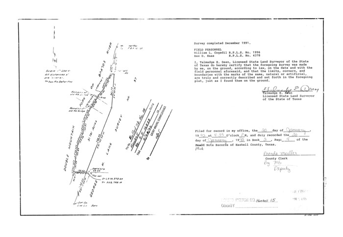
Haskell County Rolled Sketch 15

Print $20.00
- Digital $50.00
Haskell County Rolled Sketch 15
1991
Size 12.7 x 18.4 inches
Map/Doc 6173
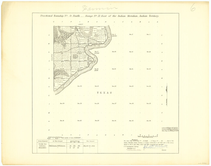
Fractional Township No. 9 South Range No. 11 East of the Indian Meridian, Indian Territory

Print $20.00
- Digital $50.00
Fractional Township No. 9 South Range No. 11 East of the Indian Meridian, Indian Territory
1898
Size 19.3 x 24.4 inches
Map/Doc 75220
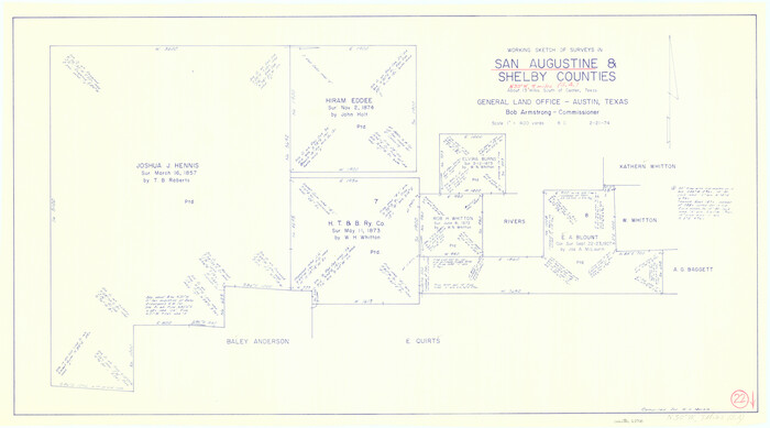
San Augustine County Working Sketch 22

Print $20.00
- Digital $50.00
San Augustine County Working Sketch 22
1974
Size 16.1 x 29.0 inches
Map/Doc 63710
Photo Index of Texas Coast - Sheet 2 of 6


Print $20.00
- Digital $50.00
Photo Index of Texas Coast - Sheet 2 of 6
1954
Size 20.0 x 24.0 inches
Map/Doc 83440
Harris County Boundary File 39 (18)


Print $4.00
- Digital $50.00
Harris County Boundary File 39 (18)
Size 12.7 x 7.9 inches
Map/Doc 54359
